Posted on Jan 7, 2018
36 0
N
Posted on Jan 7, 2018
36 0
N
4.8km

Distance

3.5 hours

Time

511m

Ascent

1111m

Highest point

4.5/10
Difficulty
Snow Icon | Hokkaido Wilds
Dec-May

Best season

GPX

KML

TOPO

GSI

The route up Mt. Onuma (大沼山 - 1,111m) near the Toyoha Mine in Jozankei (southwestern Sapporo City) may become your next favorite Hokkaido backcountry ski touring route. It is close to Sapporo City. The climb up is short; only about 2 hours or so. The terrain is suitably varied. On a clear day it boasts some magnificent views. But the real cherry on the cake is its downhill slopes. The upper, mostly tree-free slope is worthy of a few exhilarating laps, while the second half of the route back down to the carpark is a glorious dodge-em ride through nicely spaced woods.

Cover photo by Haidee Thomson

Last updated Feb 2, 2023

Topomap

Route Map

Need to know details

Location

This route starts at the Muine-yama winter trailhead on the public access road (Route 95) up to the Toyoha Mine in the upper Jozankei area, near the south-western border of Sapporo City. Mt. Onuma is just one of the many minor peaks along a ridge connecting Mt. Yoichi, Mt. Muine, Mt. Kimobetsu-dake and Nakayama Pass.

General notes

There are a number of fantastic backcountry ski routes accessible from the old Toyoha Mine access road in Jozankei. While the mine is now closed (since 2005), the road is still cleared in winter due to ongoing treatment of wastewater from the mine, and research into possibilities related to geothermal power. While the Hokkaido Development Department keeps the road open in winter, it will continue to be a popular place for access to the backcountry.

In order to maintain goodwill with the Hokkaido Development Department, skiers are asked not to park on the side of the road, and not to park further uphill than the Muine-yama trailhead. There are cleared pullout areas along the road where skiers are welcome to park.

Mt. Onuma is not marked as such on maps, but the trig station is officially labeled Onuma, so that’s where the popular name comes from.

Hut
None
Route details

There are sporadic, unofficial route markers in the form of pink tape on trees. There is no summer trail on this peak, so winter is a great time to tag the summit. Park up at the Muine-yama winter trailhead, and walk the short 200m up the road to the hard 90-degree bend. This is where the snowclearing equipment turns around, and there are often very high snow walls from the road to the top of the snowpack. Clamber up onto the snowpack and first start along the gully for about 50m before finding a suitable spot to gain the main ridge to the southwest.

Follow the broad ridge up to the first of two false peaks. Either head to the summit of those false peaks, or carefully contour around them to avoid having to put skins back on on the descent. The 875m false peak is particularly difficult to contour around effectively.

From the minor saddle southwest of the 875m peak, continue to follow your nose south-southwest through very nicely spaced glades to the summit. At the 1000m contour line there is a fantastic steep slope of about 100m vertical that is the main downhill highlight of the route. It’s highly recommended to do this route with enough time up your sleeve to be able to lap this slope at least twice. It’s short but sharp.

From the summit, expect great views towards Yotei-zan and Shiribetu-dake, as well as the imposing hulk of Muine-yama. Return the way you came. If you set your skin track right, you might be in the minority few to return without putting skins back on for the 875m false peak. For most others, it’s better to accept one’s fate and re-don skins, ascend to the 875m peak, and enjoy the remainder of the descent from there.

Route Timing
Up | 2.5hrs
Down | 1hrs

About 2.5 hours from trailhead to summit, and another one hour back down.

Transport

Public transport:

This route is not accessible by public transport.

By car:

The company that runs the Toyoha Mine kindly clears a few small areas off the road for winter mountain users. The closest of these to the trailhead for this route up Onuma-yama is the Muine-yama winter trailhead, here. It’s about 200m downhill from the Onuma-yama trailhead. Note that on weekends, this parking area will be full from early morning. Overall, this is an area where winter mountain users need to be extra careful to comply with the wishes of the private company that clears the road, in order to ensure continued access. If the Muine-yama trail head parking area is full, there’s a few other cleared pull-outs further down the road (downhill from the Muine-yama trailhead). The Toyaha Mine company expressly requests that no one parks on the road, and no one parks further uphill than the Muine-yama trailhead pullout. Previously, mountain users were permitted to park at the Onuma-yama trailhead, as well as further up the road in the clearing in front of the mine gate – as of 2023, this is no longer allowed (disrupts snow clearing work).

Physical maps
Official Topo Map: Muine-yama (無意根山) – map no. NK-54-14-15-3

NOTE: The official 1/25000 topo map(s) above can be purchased for 350yen from Kinokuniya bookstore next to Sapporo Station or online (in Japanese).

Aspect
The main aspect skiers are exposed to on the descent and/or ascent is North. Therefore, keep an eye on the weather forecast a few days ahead of your trip to monitor wind, snow, and temperature. Also, since this route is in the general vicinity of the Shiribeshi area, consider looking at the Japan Avalanche Network avalanche bulletins (updated Tuesdays, Thursdays, Saturdays at 8am) or the daily Niseko Avalanche Information website. These may give extra insight into avalanche conditions in the greater area around the route.

Snow and
route safety

The main risk noted in the Hokkaido Yukiyama Guide (ISBN: 978-4894538047) is the risk of avalanche in unstable conditions on the last steep section approaching the summit. Also noted are cornices on the summit ridge. When descending, it is very important to make sure you’re headed in the right direction, particularly when visibility is low and up tracks are no longer visible. It is quite easy to drop down too far to the skier’s right from the summit, into the gully to the east of the ridge you came up on. This gully has high avalanche risk and there are multiple cliffs and bluffs.

  • Notify the police of your backcountry plans online using Compass – instructions here.

Onuma-yama Ski Touring (Jozankei) Difficulty Rating

Category

Grade

Points

Strenuousness

Vertical Gain

C

30

Time ascending

C

3

Technicality

Altitude

B

6

Hazards

D

0

Navigation

C

6

Totals

45/100

GRADES range from A (very difficult) to D (easy).  More details here. Rating rubric adapted from Hokkaido Yukiyama Guidebook 北海道雪山ガイド.

Weather forecast

Windy.com weather forecast for Onuma-yama
Onsen nearby

If you are headed back towards Sapporo City, you’ll be passing through Jozankei Onsen area. A favourite of ours is the down-to-earth Matsu-no-yu Onsen on the Sapporo City side of Jozankei Onsen. There’s another onsen right next door (Kogane-yu Onsen), but Matsu-no-Yu has a view of the river and hills. Both onsen have cheap and cheerful restaurants attached. If you have time, you might want to check out the Ainu Culture Center (location) just across the road from the onsen.

Extra Resources
  • See the write-up (in Japanese) in the Yuki-yama Guide (ISBN: 978-4894538047) from page 132-135.

Guide Options

If you’d like to ski this route and/or explore other hills around Sapporo together with a local certified guide, get in touch with either Wataru Nara or Yasuko Kikuchi. They’re both Hokkaido born-and-bred Sapporo-based JMGA-certified guides. They both cut their teeth on peaks including those around Sapporo City and have taken part in major international expeditions. In addition, see a full list of English-speaking Hokkaido Mountain Guides Association (HMGA) guides on the HMGA website here

Support us

Like this content? Buy the HokkaidoWilds.org team a coffee. 50% of tips go to the Hokkaido Wilds Foundation.

Show Full Route Notes Close Route Notes

Route Trip Notes

Route blurb from the Hokkaido Yukiyama Guide (2015), p. 132 (translated by Hokkaido Wilds)

This mountain is not named on topographical maps, but its name is borrowed from the Onuma trig station at the top. It is likely this name comes from a tarn named Onuma close by. There’s no hiking trail on Mt. Onuma, so it is not possible to climb the mountain in summer. It has fantastic views including that of Mt. Yotei, and its sparsely wooded ridge is a popular route suited to skiing. The closure of the Toyoha Mine raises concerns about the future of access to this area for mountaineering.

Mt. Onuma backcountry ski touring (Jozankei, Hokkaido, Japan)

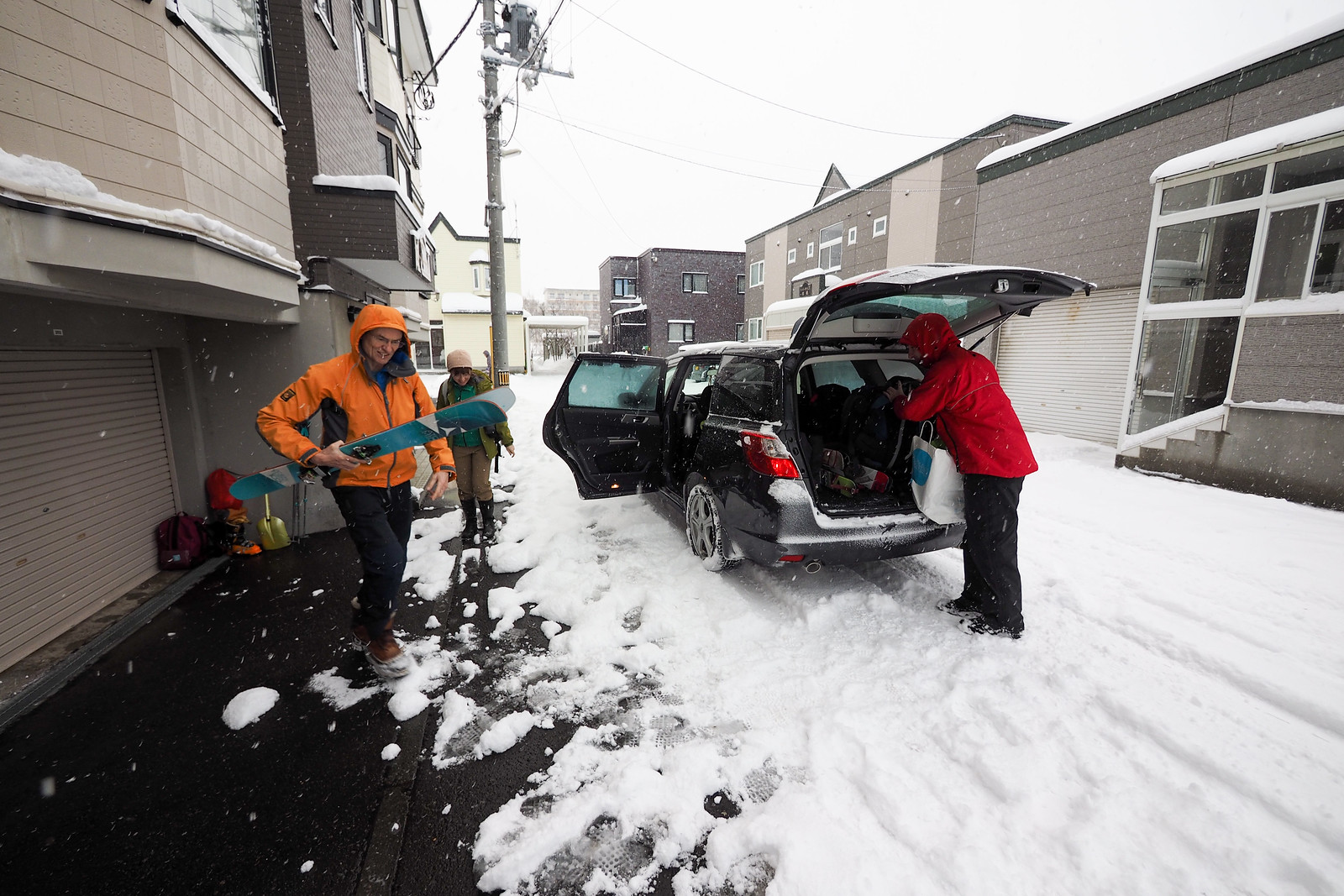
We hadn’t planned on skiing Mt. Onuma today. The original plan had been to head up Mt. Kokimobetsu-dake (tentative route here) on the western side of Nakayama Pass. When we arrived at the parking spot at the base of the hill, however, the weather was not looking promising. Strong westerly gusts along with some driving snow were quickly damping our resolve to head out onto Mt. Kokimobetsu’s exposed, relatively treeless southwestern ridge.

We’d come all this way with our skis and gear, however, so it seemed a waste to just go home. A quick group meeting resulted in the suggestion that we head back towards Sapporo, and take a look at conditions in the Toyoha Mine valley. Tucked into the hills near Jozankei, this valley ought to be more sheltered, and would offer the choice of either the Mt. Muine route up to Senjaku Plateau (route guide here), or a route up Mt. Onuma.

When we arrived at the mine, we decided on the Mt. Onuma route. Rick and Jeff had done the route in spring, and were keen to check out the early winter conditions. It ended up being most excellent choice, as the snow was glorious, and we mostly had the route to ourselves.

Mt. Onuma backcountry ski touring (Jozankei, Hokkaido, Japan)

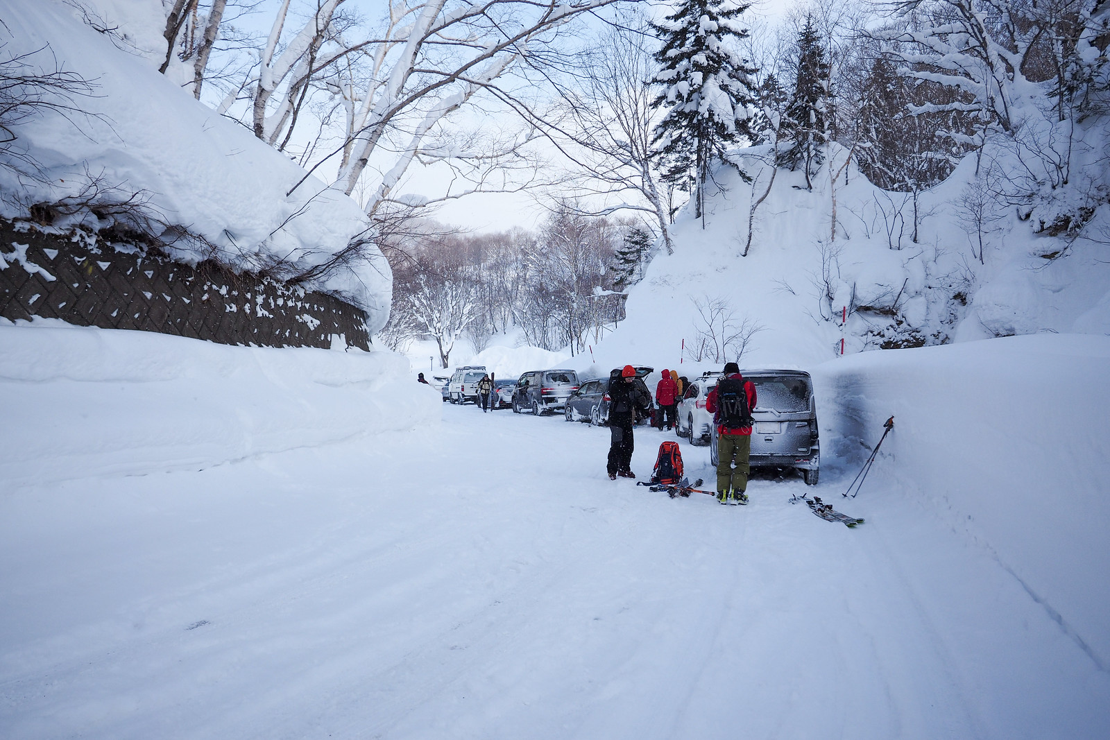
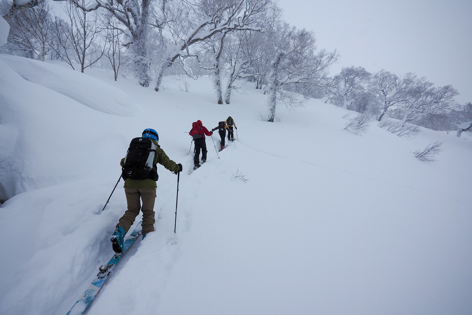
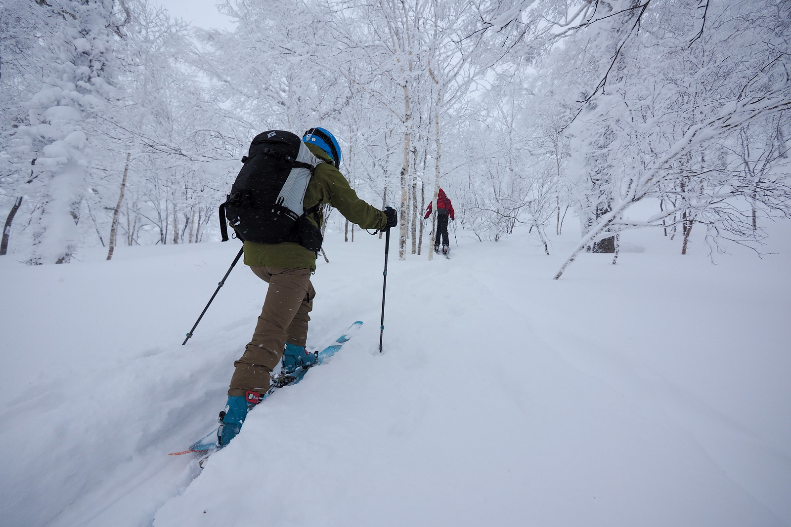
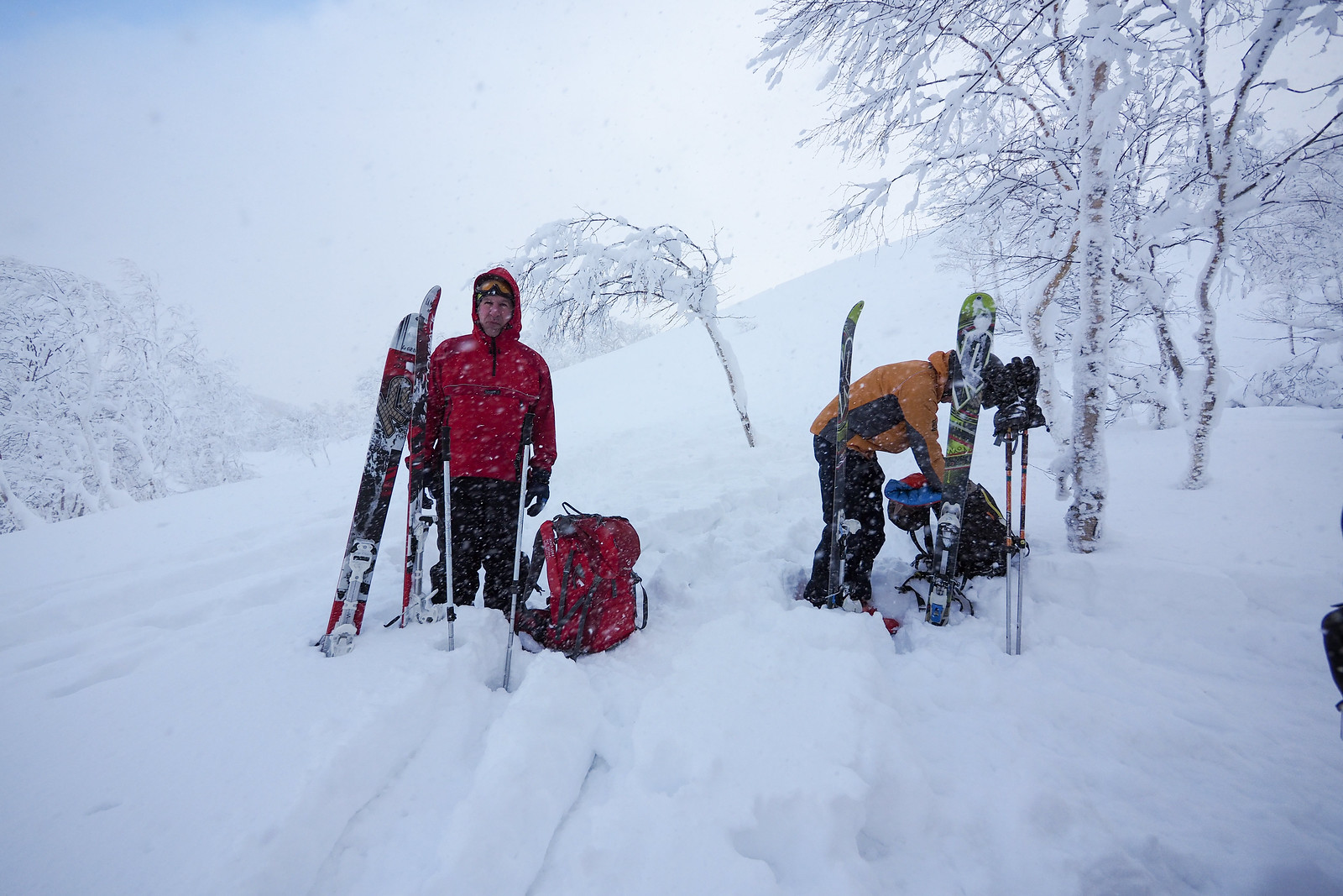
We parked up along with the 10 or so other cars at the Mt. Muine trailhead. Everyone else seemed to have been heading up Mt. Muine, while we walked a few hundred meters up the road to the hairpin bend to start up the School Ridge (学校尾根 – gakkou one) of Mt. Onuma.


Mt. Onuma backcountry ski touring (Jozankei, Hokkaido, Japan)

Mt. Onuma backcountry ski touring (Jozankei, Hokkaido, Japan)

Mt. Onuma backcountry ski touring (Jozankei, Hokkaido, Japan)

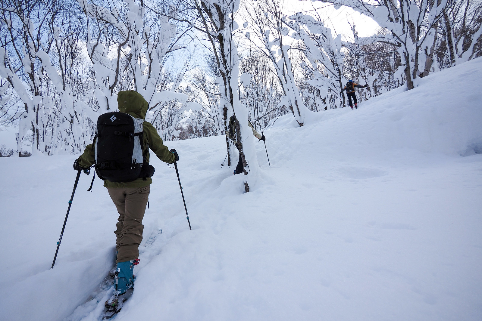
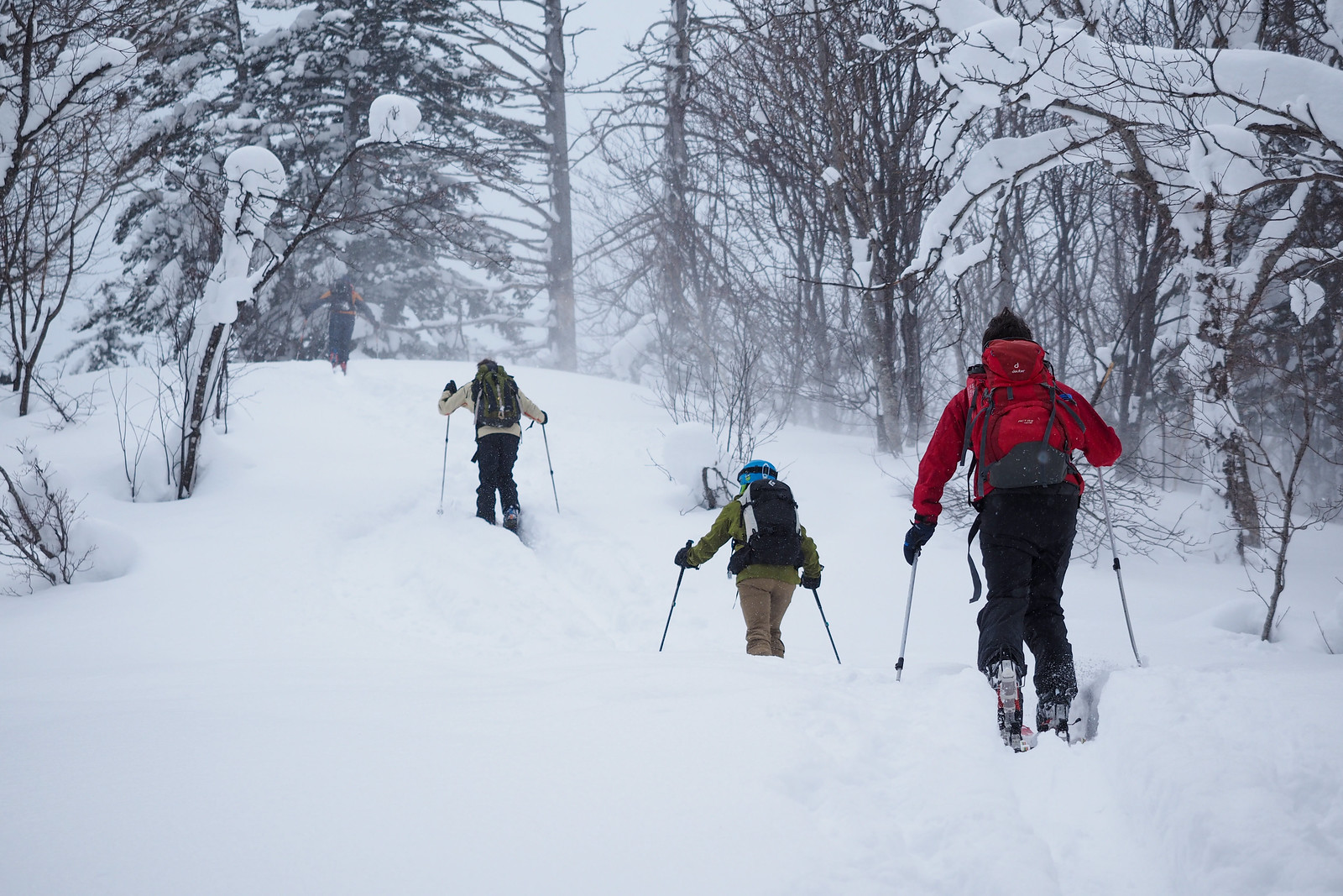
At around 790m, there is a relatively flat spot on the ridge. Further on from this, there are a couple of humps in the ridge. It should be possible to traverse around the side of the 875m hump around the contour line, such that there is no climbing involved, although the west side of the hump is heavily wooded, and the eastern side has some steep bluffs. This traversing is important if you want to avoid a bootpack or putting the skins back on on the way down.

Mt. Onuma backcountry ski touring (Jozankei, Hokkaido, Japan)

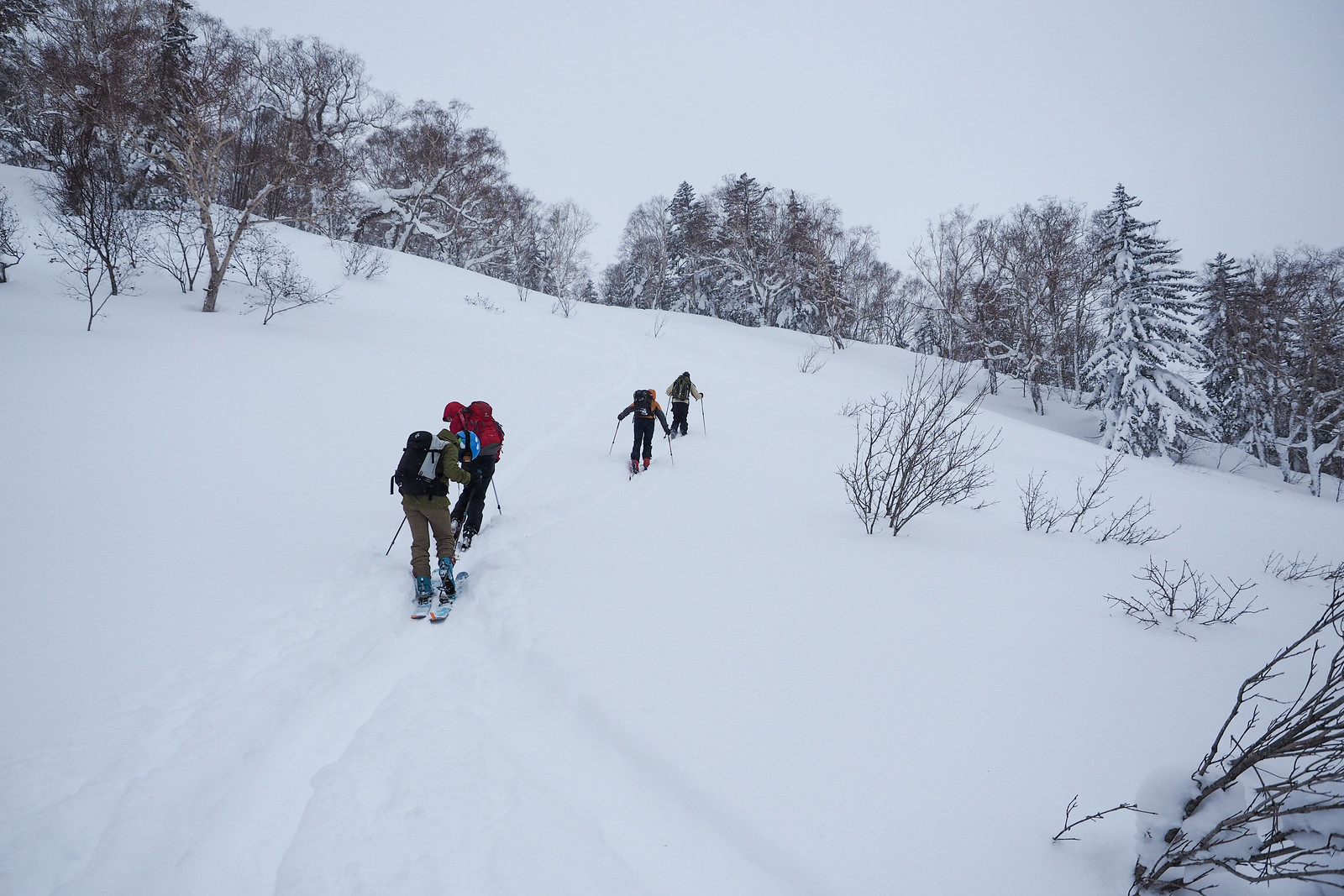
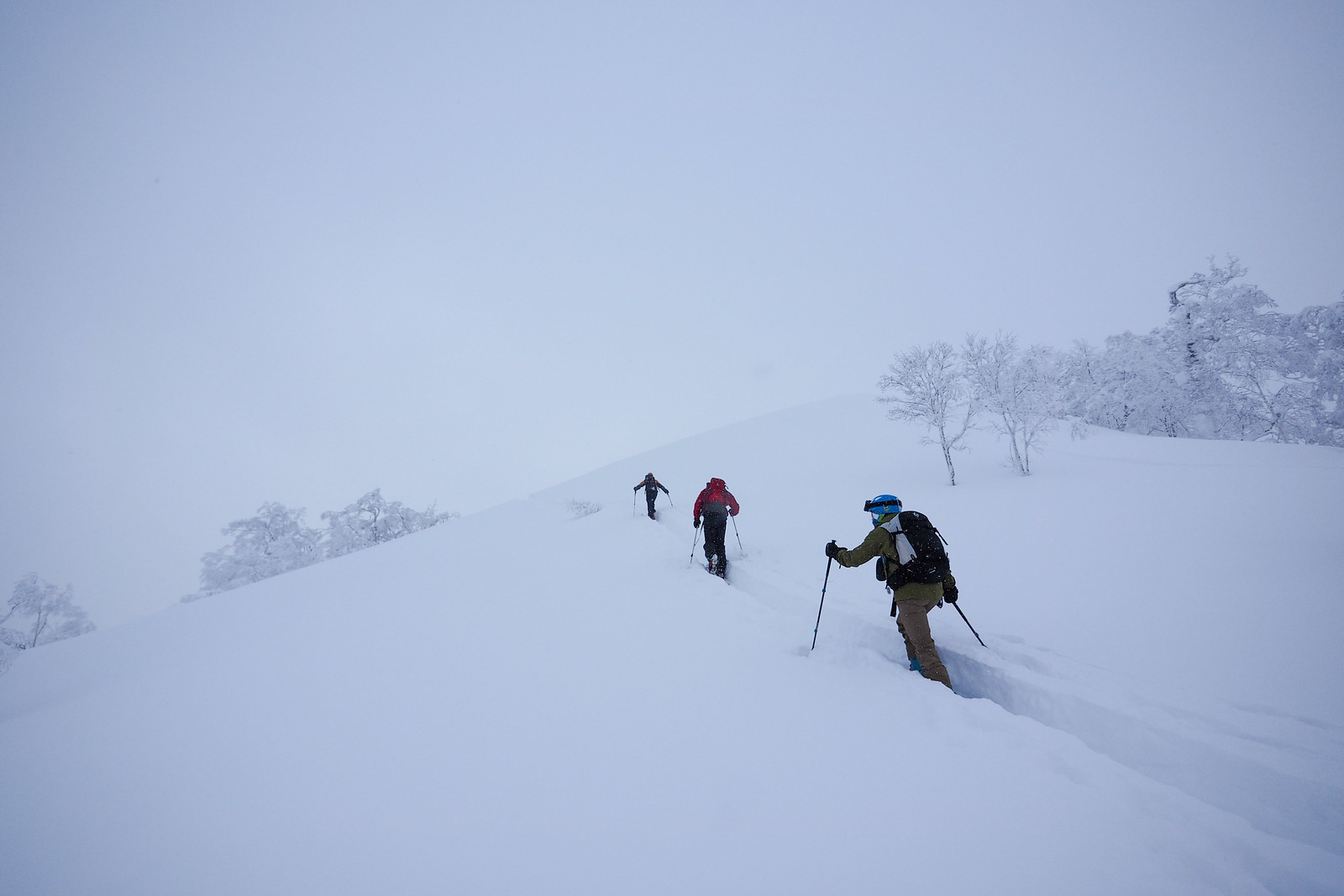
Once beyond the 875m hump, the climb up to the peak starts in earnest. Expect some wide open slopes at this point, which require some careful zigzagging. In unstable snow conditions, keep distances between people in your party large, to avoid multiple casualties in the event of an avalanche.

Mt. Onuma backcountry ski touring (Jozankei, Hokkaido, Japan)

Mt. Onuma backcountry ski touring (Jozankei, Hokkaido, Japan)

Mt. Onuma backcountry ski touring (Jozankei, Hokkaido, Japan)

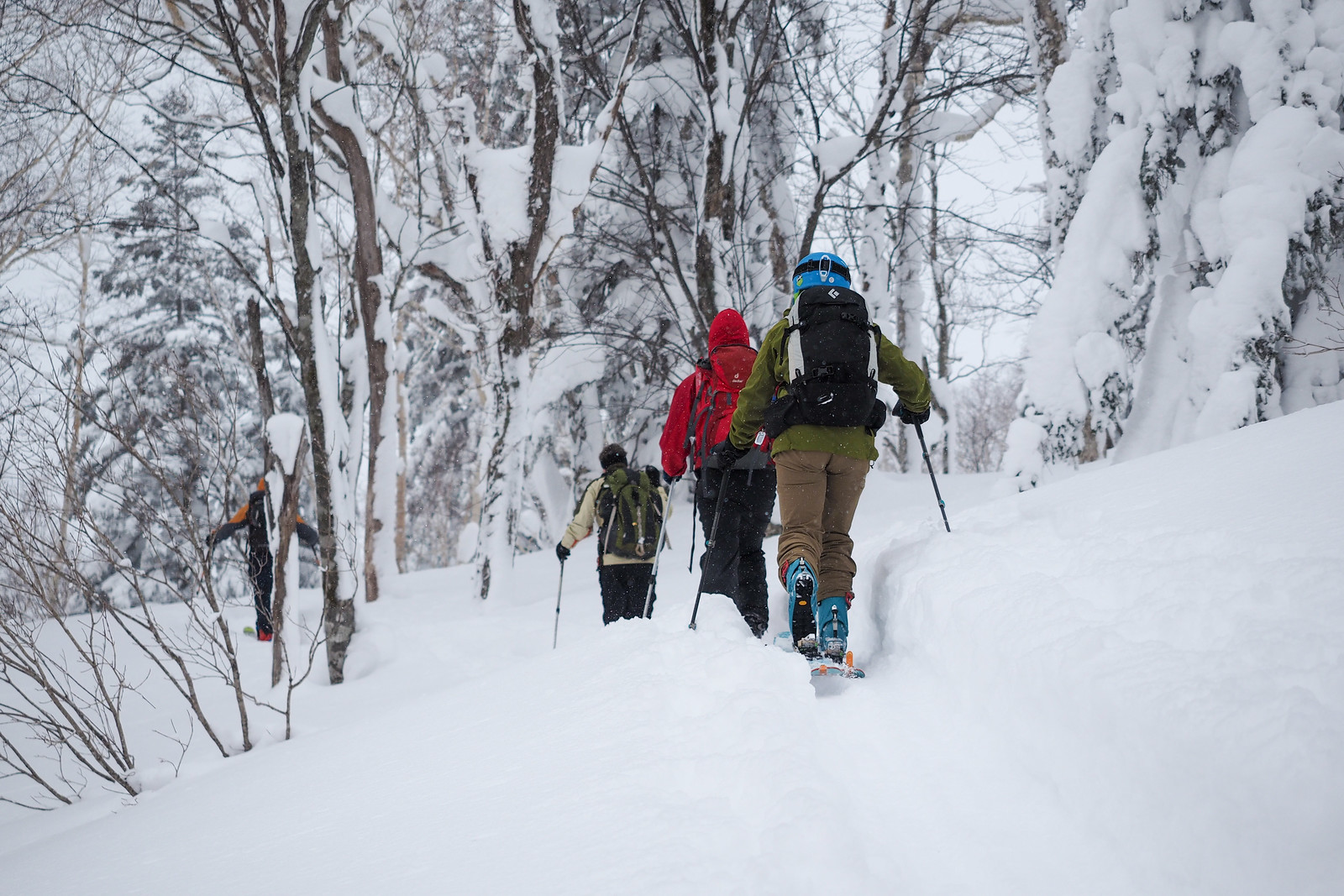
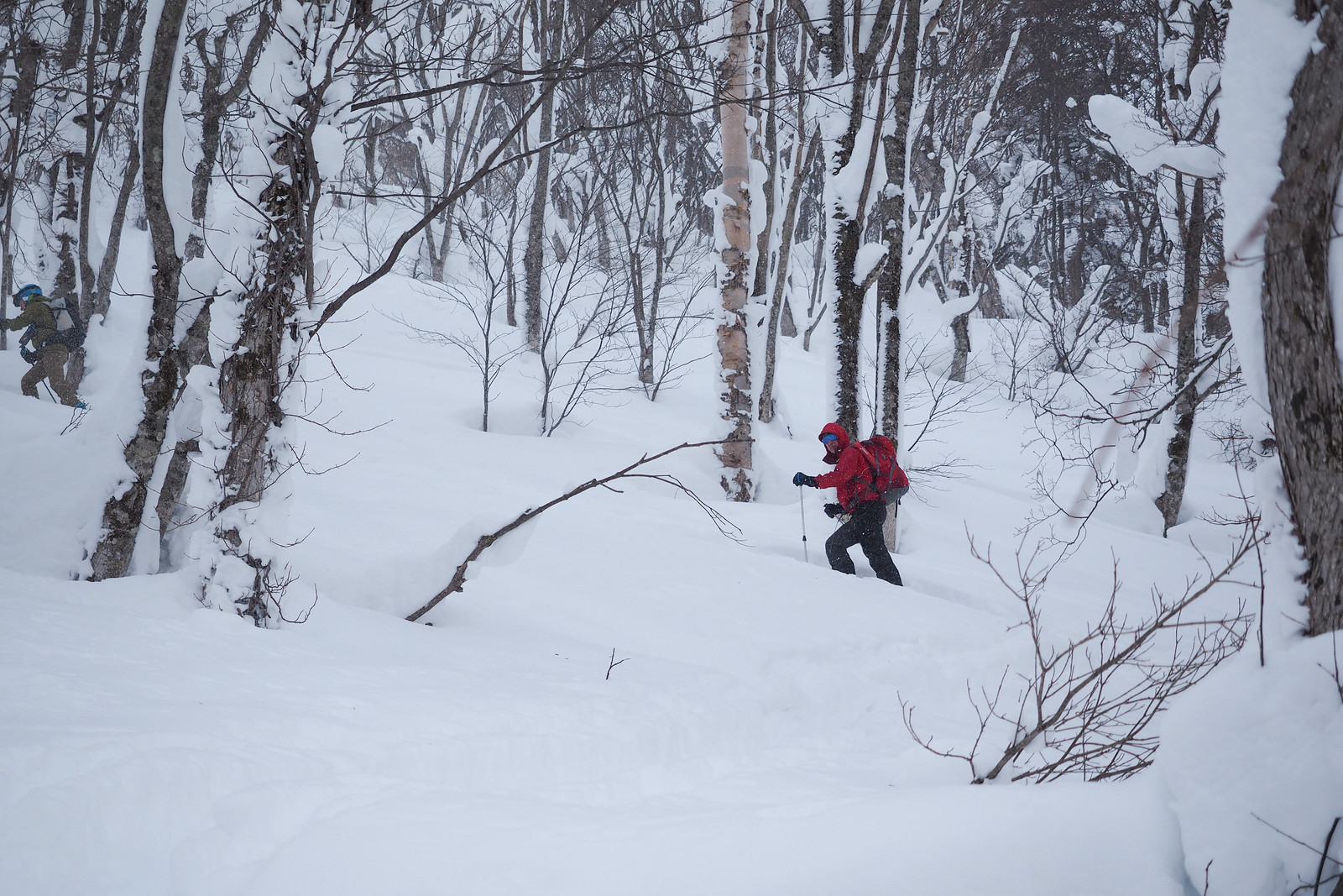
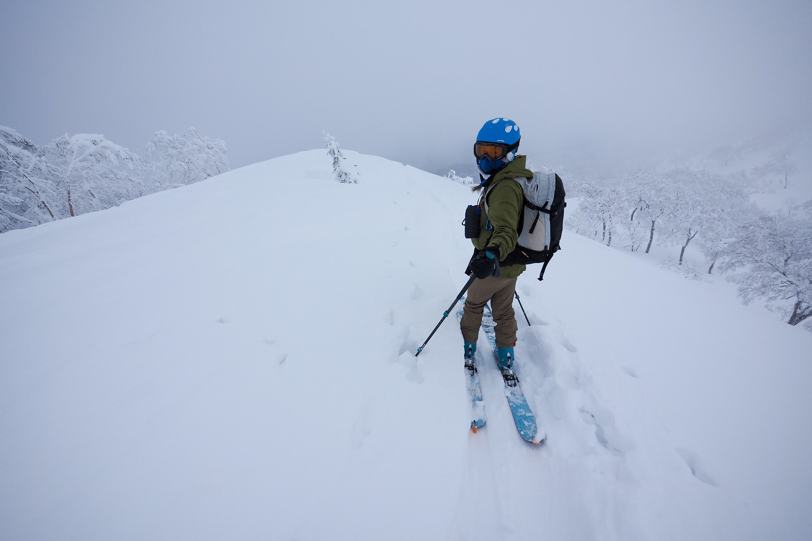
The final approach to the summit is through low-lying trees. Pick a safe gap between the cornices, and you’ll suddenly find yourself on the summit ridge with expansive views on a good day to Mt. Muine, Mt. Yoichi, and if you’re lucky, all the way to Mt. Yotei.

We summited in low cloud, so I look forward to better weather next time.

Mt. Onuma backcountry ski touring (Jozankei, Hokkaido, Japan)

Mt. Onuma backcountry ski touring (Jozankei, Hokkaido, Japan)

Mt. Onuma backcountry ski touring (Jozankei, Hokkaido, Japan)

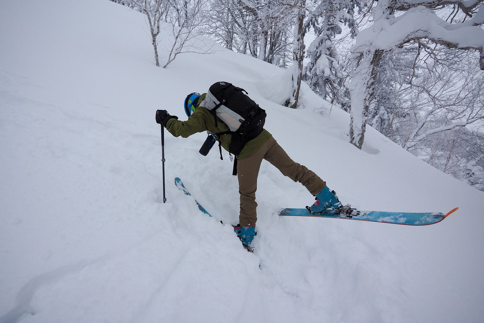
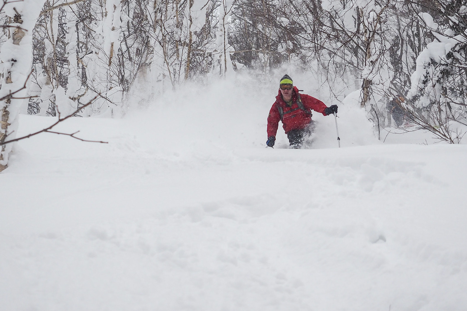
We returned to just below the summit for a quick lunch, and then skied back down the way we had come. There was a good layer of at least 50cm of fresh, light powder, and this made for some fantastic runs.

Mt. Onuma backcountry ski touring (Jozankei, Hokkaido, Japan)

Mt. Onuma backcountry ski touring (Jozankei, Hokkaido, Japan)

Comments | Queries | Reports

Done this route to Onuma-yama, or others nearby? Thinking of doing it? Please post any feedback, reports, or queries here. Thanks!

Leave a Reply

Your email address will not be published. Required fields are marked *

This site uses Akismet to reduce spam. Learn how your comment data is processed.

See More Like this

Printable Onuma-yama Topomap

TOPO DOWNLOAD (PDF, 6.8MB)

Download may take some time

Hokkaido Wilds Foundation

We’ve got affiliate links on HokkaidoWilds.org to help fund the Hokkaido Wilds foundation.

The Foundation gets a small commission on sales from affiliate links, but we only link to stuff we think is worth checking out for people keen on the outdoors in Hokkaido and Japan.

The Hokkaido Wilds Foundation is a fund where 100% of funds are donated to Hokkaido volunteer groups involved in sustainable, safe, and responsible access to the Hokkaido outdoors.

Learn more here

ADVANCED FILTERS

Filter by location

About Filters

REGION: The general mountain/geographical region the route is in.

BEST MONTH(S): Time of year a route is suited to visiting. Some pop all season, some are more limited.

DIFFICULTY: How strenuous a route is, and how technical it is. Full details here.

FREERIDE/SKITOUR: Very subjective, but is a route more-of-a-walk-than-a-ski or the other way around? Some routes are all about the screaming downhill (freeride), some are more about the hunt for a peak or nice forest (ski-tour). Some are in between. 

MAIN ASPECT: Which cardinal direction the primary consequential slope is facing, that you might encounter on the route. More details here.

ROUTE TAGS: An eclectic picking of other categories that routes might belong to.

SEARCH BY LOCATION: You can find routes near your current location – just click on the crosshairs (). You may need to give permission to HokkaidoWilds.org to know your GPS location (don’t worry, we won’t track you). Or, type in a destination, such as Niseko or Sapporo or Asahikawa etc.

Please let us know how we can make it easier to narrow down your search. Contact Rob at rob@hokkaidowilds.org with your suggestions.

Onuma-yama Ski Touring (Jozankei) Difficulty Rating

Category

Grade

Points

Strenuousness

Vertical Gain

C

30

Time ascending

C

3

Technicality

Altitude

B

6

Hazards

D

0

Navigation

C

6

Totals

45/100

GRADES range from A (very difficult) to D (easy). Hazards include exposure to avalanche and fall risk. More details here. Rating rubric adapted from Hokkaido Yukiyama Guidebook 北海道雪山ガイド.