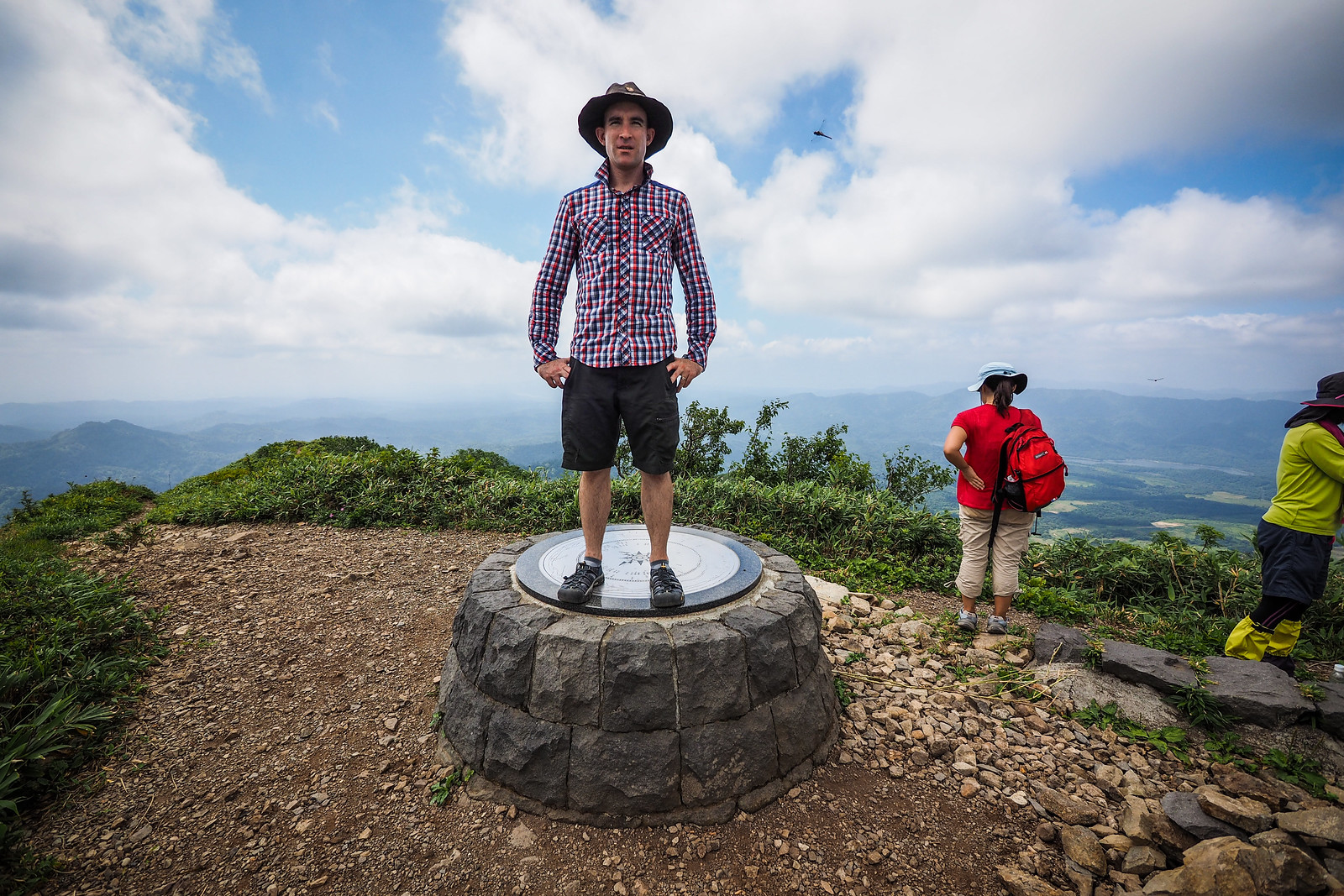
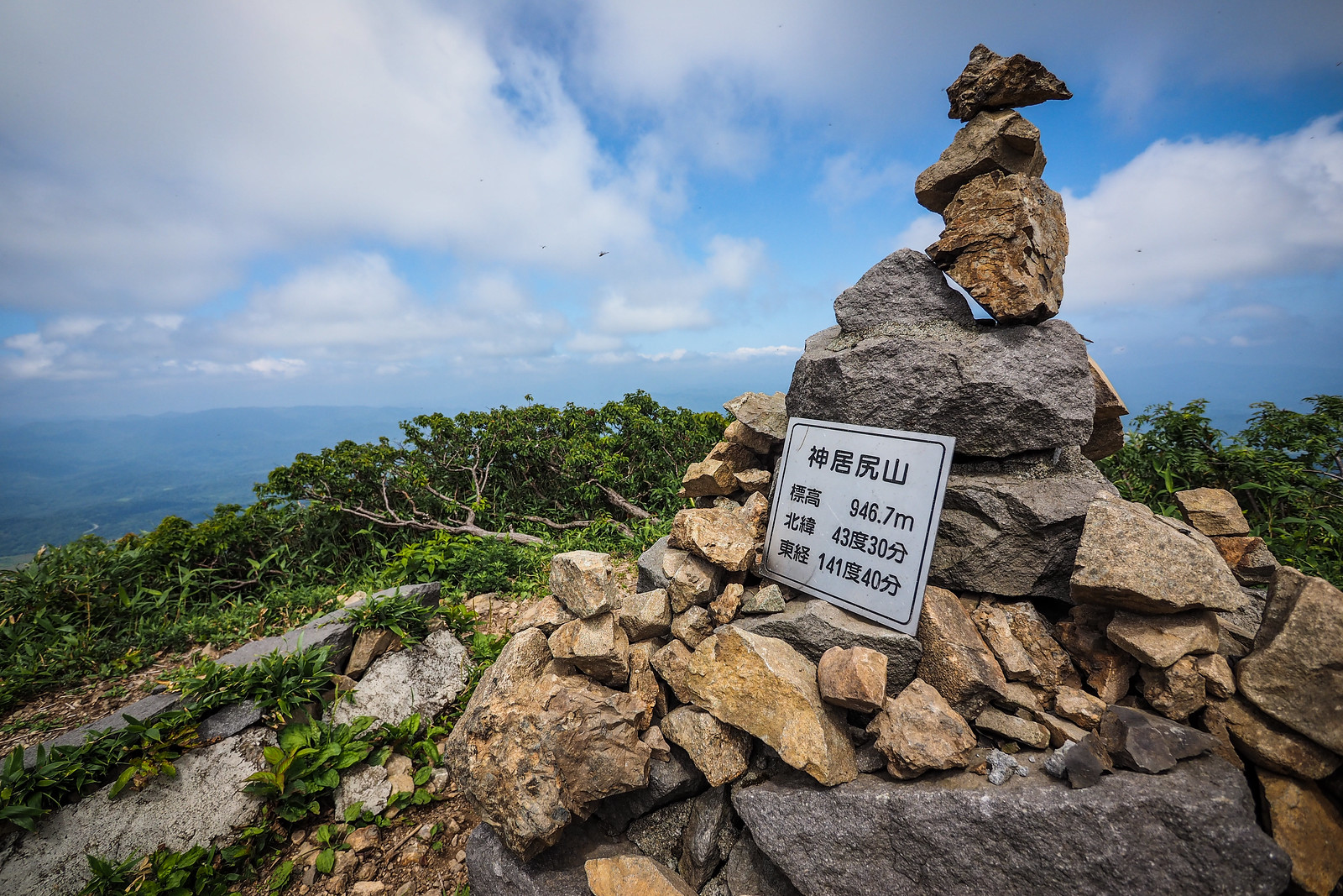
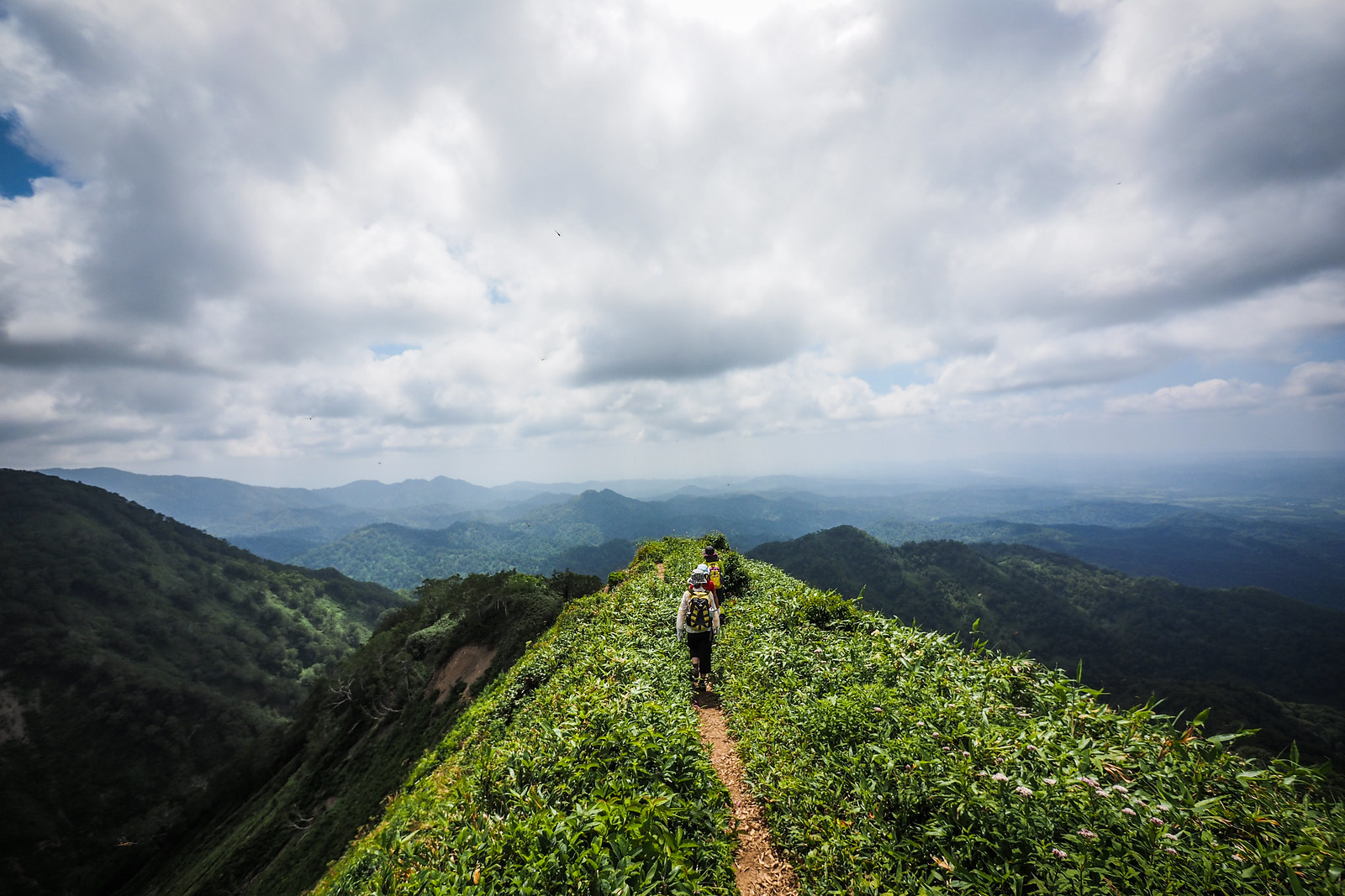
The summit of Mt. Kamuishiri is a grandiose one. An embossed metal plate sits embedded in concrete, and points out the surrounding peaks. A summer haze prevented us from seeing much of those larger peaks to the east and north, so we gobbled some lunch and started on down the B-course. This would take us on a loop back to our starting point.

9km
Distance

5hrs
Time

700m
Ascent

947m
Highest point

4.5/10
Difficulty

Jun-Oct
Best season
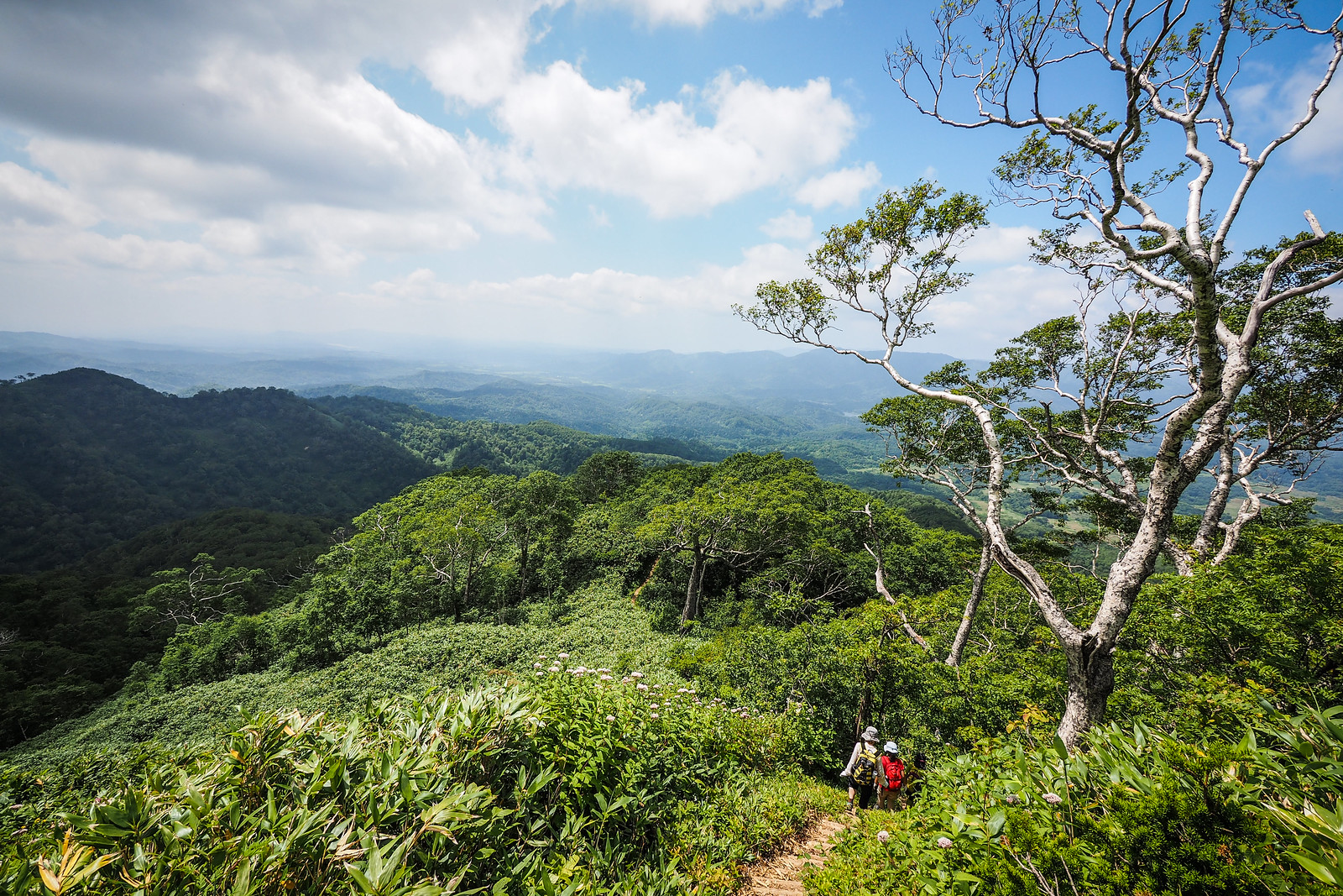
Kamuishiri-yama (神威尻山, 947m) is an unassuming peak about 2 hours north of Sapporo City. It’s a popular one for a couple of reasons. First, the loop-trail is well maintained, with well-spaced steps on the steeper sections. Secondly, it allows access to the range of mountains approaching Mt. Shokanbetsu (暑寒別岳) and Mt. Pinneshiri (ピンネシリ山) without the arduous approach. Expect expansive views along the ridgelines.
Last updated Jul 13, 2021
Need to know details
Location
This route is at the southern end of the Mashike Range, and just west of Mt. Pinneshiri, which overlooks the Takikawa Plains, about 60km north of Sapporo City.
General notes
The route is well marked and well defined. Note that there is an ‘A’ and ‘B’ route to the summit. Take either of them up, and the other one down, to avoid back-tracking.
Route Timing
Up | 3hrs
Down | 2hrs
About 3 hours from trailhead to summit, and 2 hours back down to the carpark.
Route
There are only sporadic route markers, but the trail is well defined.
Transport
Public transport:
This route is not accessible by public transport.
By car:
There is a large parking area in front of the Domin-no-mori Campground (location).
Hut(s)
None
Physical maps
GSI Topo Map: Pinneshiri (ピンネシリ) – map no. NK-54-13-8-1
GSI Topo Map 2: Minami-horoka (南幌加) – map no. NK-54-13-7-2
NOTE: The GSI 1/25000 topo map(s) above can be purchased for 350yen each from Kinokuniya bookstore next to Sapporo Station or online (in Japanese).
route safety
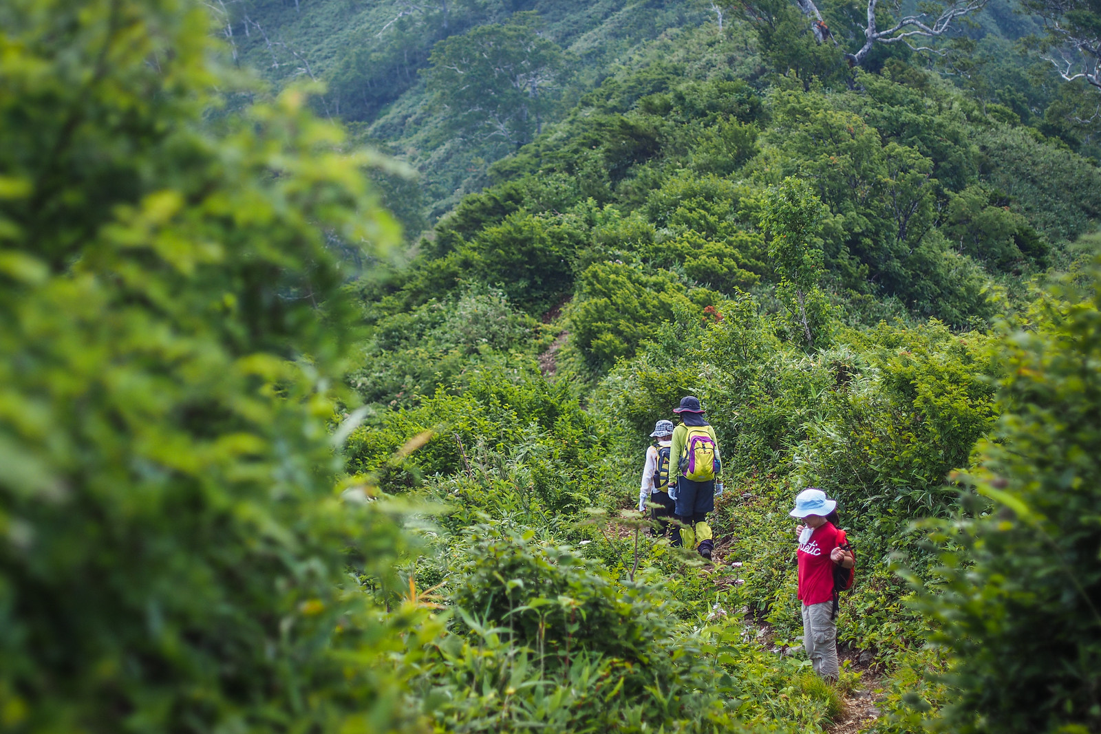
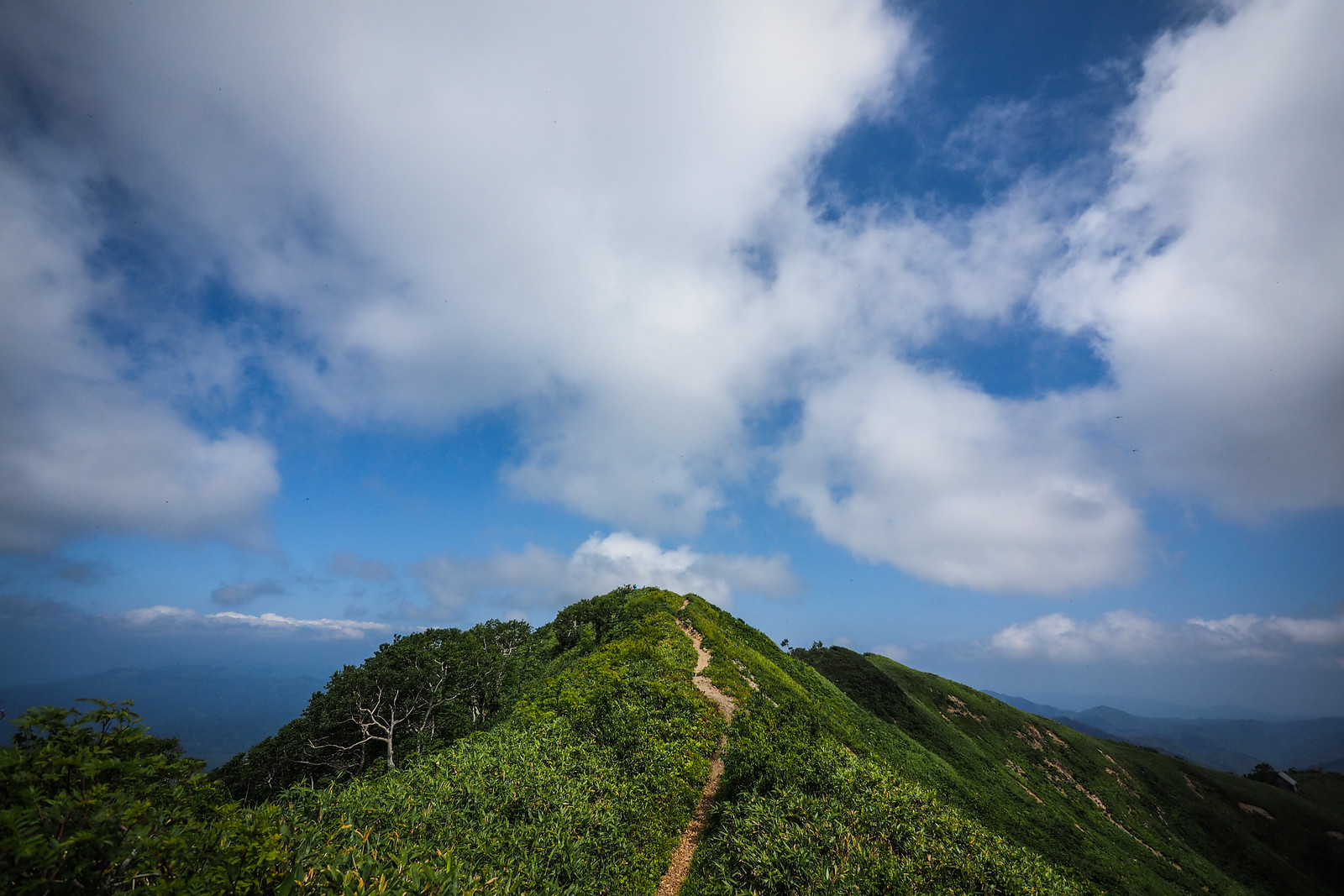
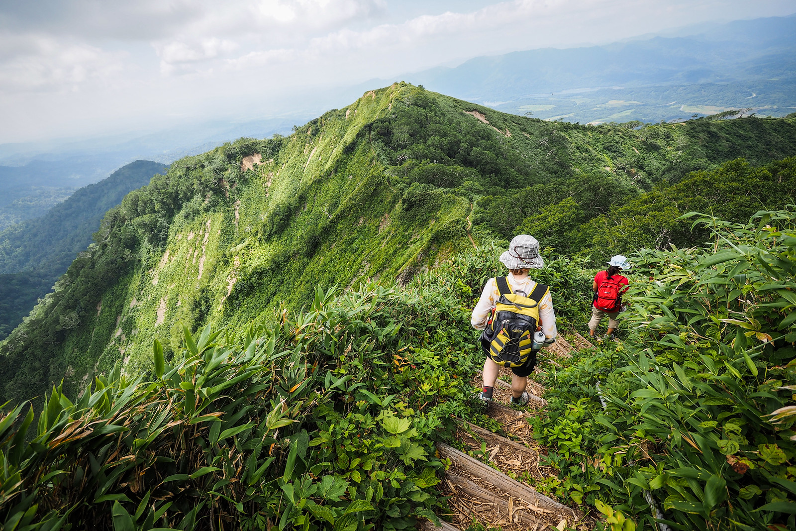
Much of the route is on ridgelines, which are quite exposed. Make sure to bring plenty of water – there isn’t much shade up on the tops
- Police notification: Fill your police notification out online using Compass – instructions here
Weather forecast
Windy.com weather forecast for Kamuishiri-yama
Onsen nearby
If you are headed back to Sapporo, there is a nice onsen in Tsukigata Town – the Tsukigata Yurikago Onsen near the campground (here).
Extra Resources
- Mountains of Hokkaido’s excellent, detailed write-up: Kamuishiri-yama
Guide Options
If you’d like to hike this route and/or explore other hikes in the central Hokkaido area together with a local certified guide, get in touch with Yasuko Kikuchi. Born and raised in Hokkaido, she’s a JMGA-certified guide now based in Sapporo. Her outdoor experience is broad and worldwide, having worked as a Canadian Ski Patrol member, and has sumitted a number of 6,000m+ peaks around the world. She speaks good English. In addition to Yasuko, also see a full list of English-speaking Hokkaido Mountain Guides Association (HMGA) guides on the HMGA website here.
About guide links on Hokkaido Wilds
We make an effort to support certified, English-speaking local guides on Hokkaido Wilds (see a full list here). They’ll have the experience and skills to help make access to Hokkaido’s most wild places possible.
Disclaimer: Booking a trip with a local guide through Explore-Share.com via Hokkaido Wilds earns us a commission. 100% of that goes into a fund to promote and sustain the Hokkaido outdoors. SEE MORE DETAILS HERE.
Support us
Like this content? Buy the HokkaidoWilds.org team a coffee. 50% of tips go to the Hokkaido Wilds Foundation.
Terms of Use
利用条件
Terms of Use
As with each ski touring, cycle touring, and hiking route guide published on hokkaidowilds.org, should you choose to follow the information on this page, do so at your own risk. Prior to setting out check current local weather, conditions, and land/road/track closures. While traveling, obey all public and private land use restrictions and rules, carry proper safety and navigational equipment, and of course, follow leave-no-trace procedures. The information found herein is simply a planning resource to be used as a point of inspiration in conjunction with your own due-diligence. In spite of the fact that this information, associated GPS track (GPX, KML and maps), and all information was prepared under diligent research by the specified contributor and/or contributors, the accuracy of such and judgement of the author is not guaranteed. hokkaidowilds.org, its partners, associates, and contributors are in no way liable for personal injury, damage to personal property, or any other such situation that might happen to individuals following the information contained in this post.
利用条件
hokkaidowilds.orgに掲載されるすべてのスキールート、自転車ツーリングルート、ハイキングルートと同様に、本ページに掲載される情報を利用し行動する場合、必ず自己責任で利用することを条件とします。出発する前に現地の天候や状況、通行止め情報などを確認しましょう。行動中は、公有地/私有地に関係なく必ず現地の利用条件を守るようにし、適切な安全装置や、コンパスや地図などのナビゲーション道具を身に着けてください。いうまでもありませんが、自然に与える人間の影響を少なくし、ゴミの持ち帰りをはじめ環境を傷をつけない(Leave No Trace)ようなアウトドア行動にしましょう。本サイトに掲載される情報はあくまで計画を立てるための一つの情報源に過ぎなく、行為者の先んじて払ってしかるべき正当な注意義務及び努力と合わせて利用することを条件とします。本ページのGPSトラック(GPXとKMLと地図)を含む情報は提供者のできる限り正確な調べにより提供しているものの、その情報の正確性や、提供者の行動判断は、hokkaidowilds.orgは一切の責任を負いかねなく保証できません。また、本ページに掲載される情報を利用することによるいかなる怪我、器物損壊等、その他事件 ・事故等においてhokkaidowilds.orgや本サイトの関係者は一切の責任を負いかねます。
[social_warfare buttons=”Facebook,Reddit,Twitter,Pinterest,Google Plus, Stumble Upon,Total”]
Comments | Queries | Reports
Done this Kamuishiri-yama route? Thinking of doing it? Please post any feedback or queries here. Thanks!




4 thoughts on “Kamuishiri-yama Day Hike”
Hi there, I’m a solo female traveller. Do you know if I went on a weekday in early June, there would be al lot of other people hiking also?
Hey Hannah, on a weekday in June, you can be fairly confident there won’t be many other hikers on the trail. More people on the weekends, but on weekdays, it’ll be fairly solitary. Hope this helps!
Hi Rob,
Thanks for sharing all those great trips, it is my number one source of inspiration when planning trips in Hokkaido!
I am planning to do this one in late September. Seems like the Hokkaidowild map is not available #404 NOT FOUND# If by any chance the map is still available it would be great!
Hi Thomas, thank you for the kind words! Unfortunately, I posted this trail before I was making the English-language topomaps, and therefore it’s still on the to-do list 🙂 It’s a well defined trail though, so I’m sure you’d be OK with something like OpenTopomaps on your smartphone (https://opentopomap.org/#map=16/43.50040/141.66162). I hope this helps!