NOTE: As of August 2018, the route along the north of the lake is now impassable (see comments section).
His forum post in the Hokkaido Group on the Couchsurfing website was brief and to the point.
“Does anybody know where I can buy a second hand bicycle and tent in Hokkaido. I am arriving on Saturday, and want to try cycling there.”
I replied to his post, cautiously advising him that it is 1) very hard to find a decent bicycle for cycle-travel in Hokkaido, 2) is difficult to find a bicycle the right size, 3) second hand bicycles tend to be unreasonably expensive. I suggested that we meet up however, and I would take him around some secondhand stores I had seen bikes at before.
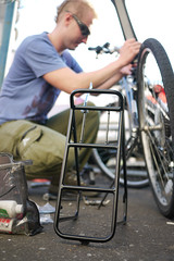
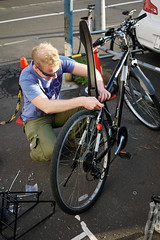
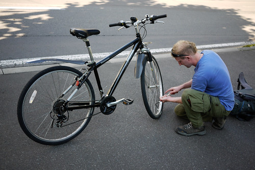
Two days later we met up, had a look around two secondhand stores, and Cezary had himself a fluke. A near-new Bridgestone bike with a new rack, ready to tour. The frame was a tad on the small side, but for 13,000yen (about US$150), he was a happy chap and very lucky indeed.
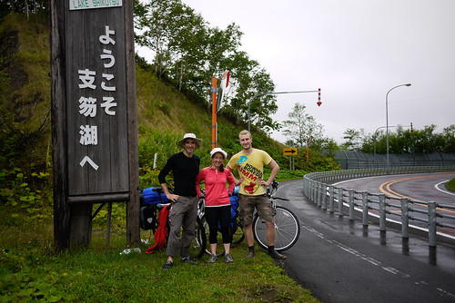
As it happened that Haidee and I were planning a 2.5 day bike-camping trip to Lake Shikotsu, just south of Sapporo, for the following weekend. However, Haidee’s study plans changed, and we brought the trip forward a few days. This meant that we were able to invite Cezary to come along, an opportunity he jumped at.
The Trip
The plan was to cycle from Sapporo to Lake Shikotsu, then from Lake Shikotsu to Chitose City, and then from there back to Sapporo (another write-up of a similar route from someone else here). According to our research, there were cycle paths for much of the route. Lake Shikotsu is a volcanic crater lake, known for its crystal clear water.
Today’s ride
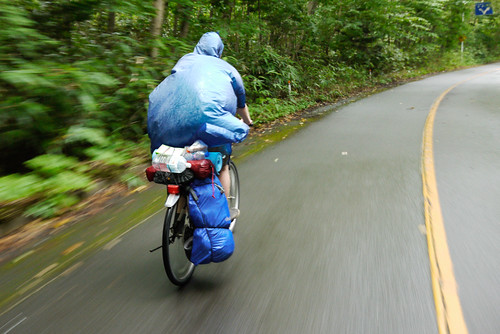
Today was the mission from Sapporo to Lake Shikotsu. We knew there would be some hills along the way, and we were also expecting some great scenery. We headed off bright and early at 7:30am from our apartment, along with Cezary, near Gakuen-mae station*. As we were leaving, a light rain started falling. No photos, therefore, for the morning’s ride upstream along the Toyohira River cycle path (the same one we cycled downstream a week earlier*).
From Point C on the map above (here), we joined with Route 453 which heads all the way to Lake Shikotsu. Alongside this road, there is a dilapidated sidewalk which is also referred to as the Lake Shikotsu “Cycling Road”. The sidewalk is in bad condition, but at least it keeps you off the moderately busy Route 453.
The route is a succession of up-and-down climbs up to the turn-off to Lake Okotanbe (here). The going is slow, and perhaps luckily for us, it was raining. Doing this is the height of summer would be hot work. We chose to thoroughly ignore the massive signs informing us that the road was closed past the Lake Okotanbe lookout, and decided to try to follow Route 78 around the west side of the lake. At this point, I was fairly confident that the road would be closed, but at least paved. Confidence and ignorance are always great ingredients for an adventure.
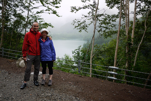
After a quick lunch of rice balls and bread at what should have been ‘the end of the road’ (the Okotanbe Lake lookout; the climb to the lookout is a killer, by the way), we carried onwards, and soon found ourselves hurtling down to the lake. If there were any closed road barriers up ahead, we knew that we were either going to climb over them, or have to slog it back 10km uphill!
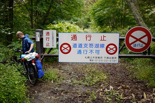
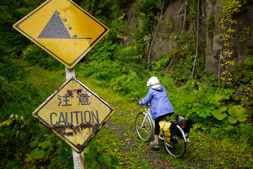
Soon enough, we arrived at the end of the road. This time, it was quite clear. A massive barrier and warning signs plastered all over the place (around here). Incidentally, this is where you can access the now closed Okotanbe Camping Ground*. We were not to be deterred, however, even by the fact that the closed road was overgrown and certainly not paved. By the looks of the map, the closed section was only about 4km anyway.
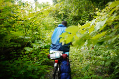
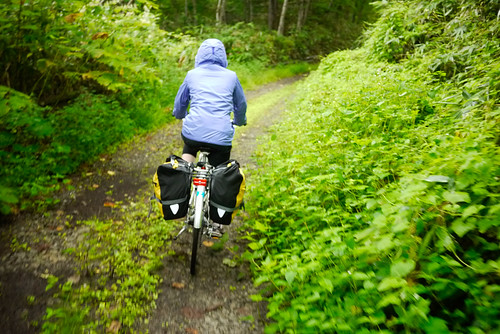
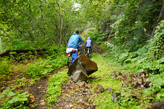
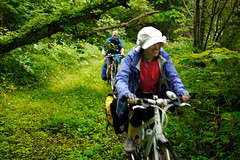
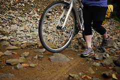
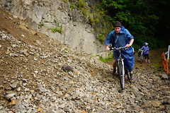
The next 4km were perhaps the most interesting of the whole trip for me. A great adventure of overgrown, gravely, slippery terrain. But then again, I was the one on the 29inch wheeled mountain bike with ridiculously fat tyres. Haidee and Cezary with their slick road tyres found the going a little more challenging.
In places along the track, there were recent rockfalls. The road was quite obviously used in the past, however, with signs and curve mirrors along the route. In places we had duck and dodge fallen trees. Most large obstructions had been recently cleared or cut though.
After a very enjoyable ride through along the closed road – a ride not without its injuries* – we emerged relatively unscathed at the other end, feeling very smug that we had made it. The road emerges, and becomes paved again, at the more upmarket (1,000yen a night) Bifue Camping Ground (here).
The official ‘Lake Shikotsu Perimeter Cycling Road’ starts where Route 78 hits Route 276, the highway skirting Lake Shikotsu. In parts, this cycling road is a smooth, wide sidewalk, and in other parts a dedicated cycle path through the woods. It leads right past the Morappu Camping Ground, our destination for the night. At 500yen a night, this is a typical basic Hokkaido camping ground. Clean toilets and large outdoor covered kitchen spaces. As it was (still) raining, we set up our tents and cooked under the shelter of a roof-eave* (not before Cezary and I went for a swim in the lake).
Scoffing of large quantities of pasta ensued, before we all retired to our tents at around 7:45pm. We were all out like lights.
Distance: 69.8km | Time cycling: 5h 08m
Average Speed: 13.6km/h | Max speed: 49.5km/h







4 thoughts on “HOKKAIDO (Shikotsu Trip Day 1): Sapporo to Lake Shikotsu”
Hi there,
First of all thanks a million for the quality of this blog. It is a blessing for all those willing to cycle Hokkaido.
A quick August 2018 update on the day 1 of this route, that we attempted yesterday with my wife. The first closed bit of road (the downhill bit) is still ok but the second part of the closed road is now unmanageable. There are lots of fallen trees and rocks, collapsed bits of road etc. We made it halfway through and got blocked by a totally collapsed bridge. Impossible to go through. We were just 4km to the camp site but night fall caught us there and we had to set camp on the path and back track the following morning (yes, all the way back up…).
In short, DO NOT ATTEMPT to ride the closed road. It is very dangerous and you won’t go through.
Thank you for the important information! I will update the blog accordingly. And terribly sorry that you had to spend a night on the trail! Not ideal at all.
We experienced the exact same thing in July, but somehow managed to make it through by traversing the side of the hill down to the lake at the collapsed bridge, leaving our gear and bikes at the lake overnight and continuing on foot to the campsite. The next morning we went back and got our stuff.
Sorry to hear this ended in an unplanned adventure! I’ve updated the post with a message saying “NOTE: As of August 2018, the route along the north of the lake is now impassable (see comments section).” The route guide (https://hokkaidowilds.org/cycle-touring/overnight-trip-lake-shikotsu-sapporo-hokkaido-japan) also doesn’t show this as an option any more. On the route map (https://ridewithgps.com/routes/23042013) I’ve added a note warning of the road conditions.
Many thanks for the feedback – really appreciated!