Posted on Jan 14, 2018
2
SW
Posted on Jan 14, 2018
0 2
SW
5.9km

Distance

4.5 hours

Time

480m

Ascent

970m

Highest point

4.5/10
Difficulty
Snow Icon | Hokkaido Wilds
Dec-Mar

Best season

Mt. Kokimobetsu-dake (小喜茂別岳 - 970m) is the little-sibling of the higher Mt. Kimobetsu-dake (喜茂別岳 - 1,177m) further to the north (Mt. Kimobetsu-dake route guide here). Access to Mt. Kokimobetsu-dake is just as easy though, and its mellow slopes are great for those just getting their feet wet in backcountry skiing. Expect a beginner to intermediate slope at the upper end of the route that is perfect for lapping a couple of times before heading down.

Last updated Feb 9, 2022

Route Map

Need to know details

Location

This Mt. Kokimobetsu-dake route is on the western side (Kimobetsu Town side) of Nakayama Pass, and is accessed from a carpark (here) about 500m down the road from the trailhead (here).

General notes

This route is marked as “perfect for beginner backcountry skiers” in the HokkaidoYuki-yama Guide (ISBN: 978-4894538047). This is a fair description; it is a relatively short approach (2 to 3 hours), the downhill slopes are not too steep, and it includes the satisfaction of bagging a peak. More experienced skiers might find the route underwhelming, however, and if time permits, pushing deeper into the backcountry towards the higher-altitude Mt. Kimobetsu gives access to much more enjoyable terrain for the experienced skier (see route guide here).

Hut
None
Route details

When we were there in January 2018, there were sporadic strands of pink taped attached to trees along the route. It is best to assume, however, that you will be navigating on your own.

Route Timing
Up | 2.5hrs
Down | 1hrs

About 2 to 3 hours from trailhead to summit, and another 1 to 1.5 hours back down to the trailhead. The upper slopes directly below the summit are good for a few laps though, so try to budget in enough time to enjoy those.

Transport

Public transport:

This route is not accessible by public transport.

By car:

There is a car parking area (here) about 800m down the road from the trailhead. As of January 2018, this parking area was home to some pre-fab construction buildings. As a courtesy, please ask for permission to park in their carpark – they should be very accommodating.

Physical maps
Print: HokkaidoWilds.org 1:25,000 TOPOMAP+
Niseko Backcountry map: Buy on Amazon.co.jp | See companion site for more purchase options
Official Topo Map: Nakayama-toge (中山峠) – map no. NK−54−14−15−4

NOTE: The official 1/25000 topo map(s) above can be purchased for 350yen from Kinokuniya bookstore next to Sapporo Station or online (in Japanese).

Aspect
The main aspect skiers are exposed to on the descent and/or ascent is Southwest. Therefore, keep an eye on the weather forecast a few days ahead of your trip to monitor wind, snow, and temperature. Also, since this route is in the general vicinity of the Shiribeshi area, consider looking at the Japan Avalanche Network avalanche bulletins (updated Tuesdays, Thursdays, Saturdays at 8am) or the daily Niseko Avalanche Information website. These may give extra insight into avalanche conditions in the greater area around the route.

Snow and
route safety

The main risk noted in the Hokkaido Yukiyama Guide is the ease of skiing down the wrong ridges and/or gullies on the way down. Check your location after each run to make sure you haven’t strayed too far off course.

  • Notify the police of your backcountry plans online using Compass – instructions here.

Kokimobetsu-dake (Nakayama Pass) Difficulty Rating

Category

Grade

Points

Strenuousness

Vertical Gain

C

30

Time ascending

C

3

Technicality

Altitude

B

6

Hazards

D

0

Navigation

C

6

Totals

45/100

GRADES range from A (very difficult) to D (easy).  More details here. Rating rubric adapted from Hokkaido Yukiyama Guidebook 北海道雪山ガイド.

Weather forecast

Windy.com weather forecast for Kokimobetsu-dake
Onsen nearby

On the way to Sapporo City, you’ll be passing through Jozankei Onsen area. A favourite of ours is the down-to-earth Matsu-no-yu Onsen on the Sapporo City side of Jozankei Onsen. If you’d like to pair onsen with lunch or dinner, try Kogane-yu Onsen next door; they have a very reasonable restaurant attached. If you have time, you might want to check out the Ainu Culture Center (location) just across the road from the onsen.

Extra Resources
  • See the write-up (in Japanese) in the Yuki-yama Guide (ISBN: 978-4894538047) from page 170-173.

Guide Options

If you’d like to ski this route and/or explore other Niseko areas together with a local certified guide, get in touch with Yasuko Kikuchi. Born and raised in Hokkaido, she’s a JMGA-certified guide now based in Sapporo. Her outdoor experience is broad and worldwide, having worked as a Canadian Ski Patrol member, and has sumitted a number of 6,000m+ peaks around the world. She speaks good English. In addition to Yasuko, also see a full list of English-speaking Hokkaido Mountain Guides Association (HMGA) guides on the HMGA website here

Support us

Like this content? Buy the HokkaidoWilds.org team a coffee. 50% of tips go to the Hokkaido Wilds Foundation.

Show Full Route Notes Close Route Notes

Route Trip Notes

Route blurb from the Hokkaido Yukiyama Guide (2015), p. 170 (translated by Hokkaido Wilds)

Descending down the Nakayama Pass towards Kimobetsu Town, the triangular mountain visible on the right is Mt. Kokimobetsu-dake. It doesn’t have a hiking trail, so can only be climbed in the winter. From Nakayama Pass it looks like it is thick with trees, but on the other side of the mountain are long slopes with very little trees. This makes it a simple mountain to climb. People even climb it in simple snowshoes, but it is home to long gentle slopes and perfect for beginner backcountry skiers, new to the winter mountains.


After pulling the plug on climbing up Mt. Kokimobetsu last week due to high wind and snow (and then opting to ski Mt. Onuma instead), a forecast for sunny skies this weekend motivated us to head back this weekend to try out our luck again.

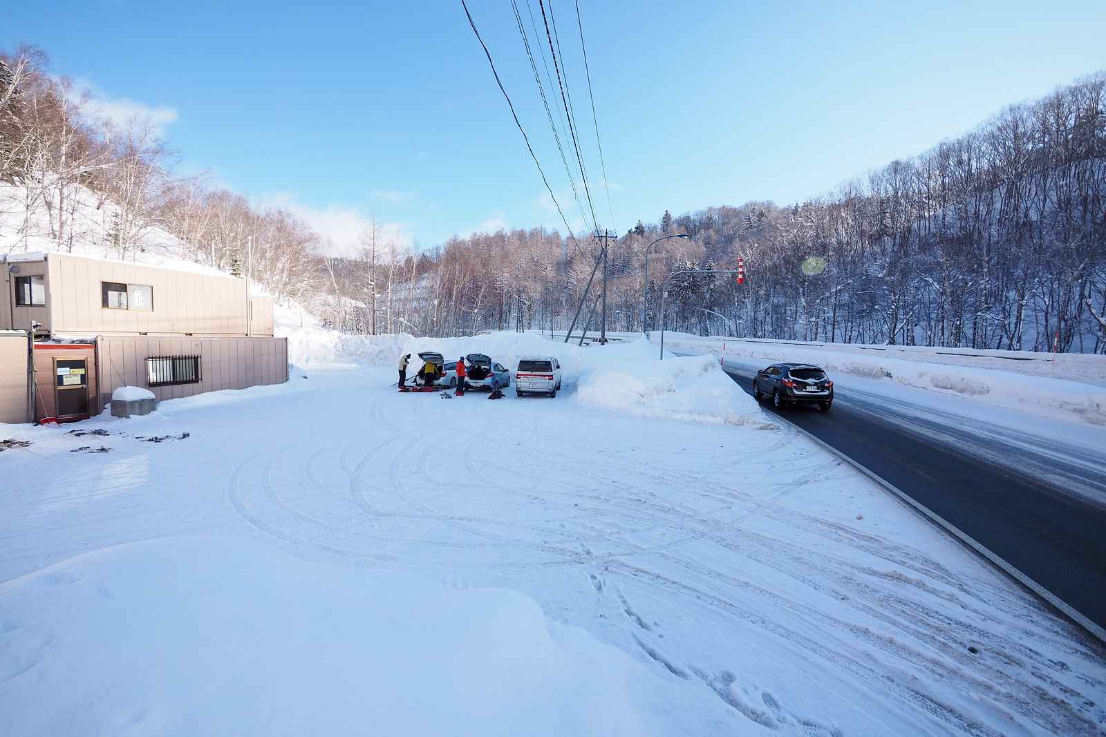
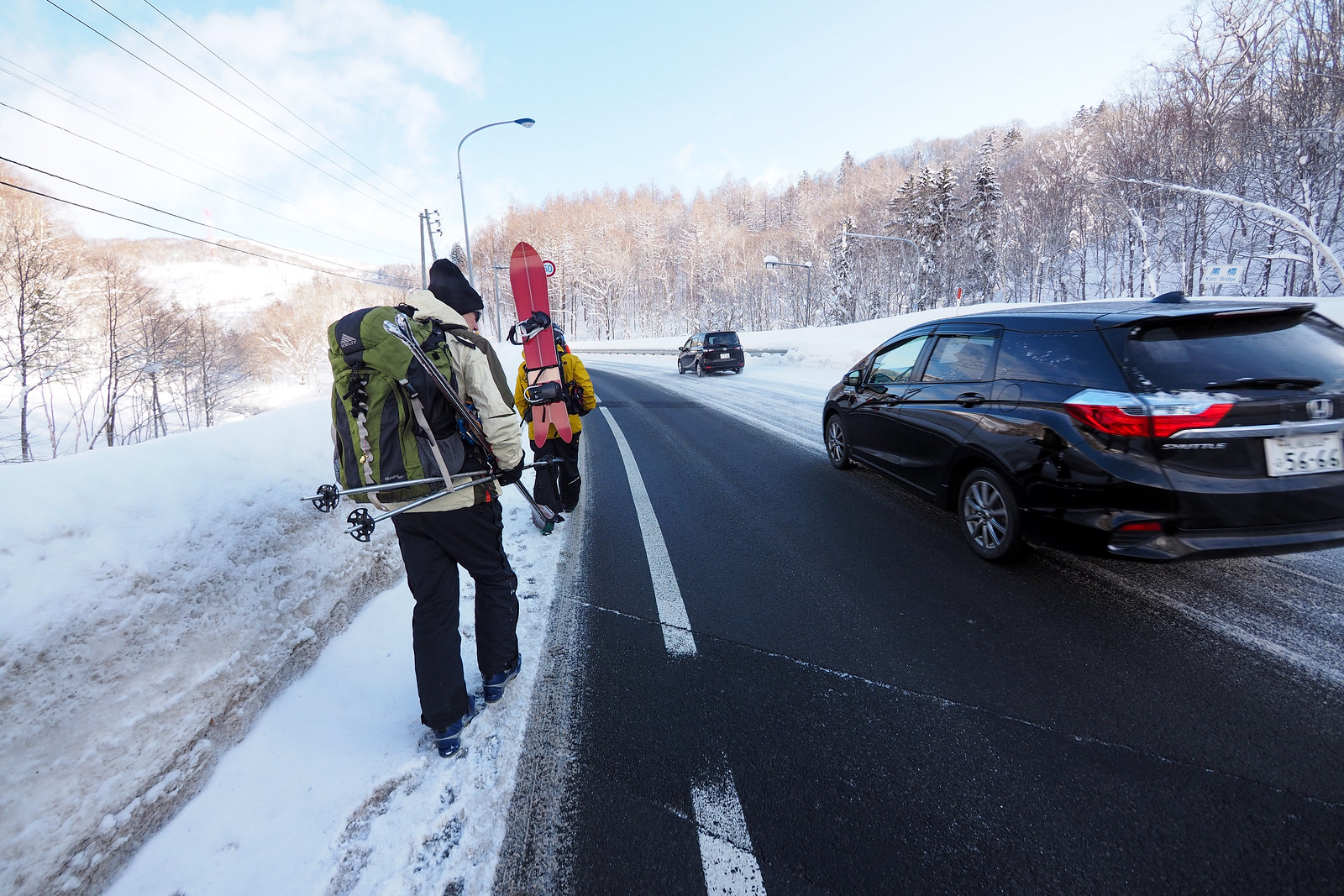
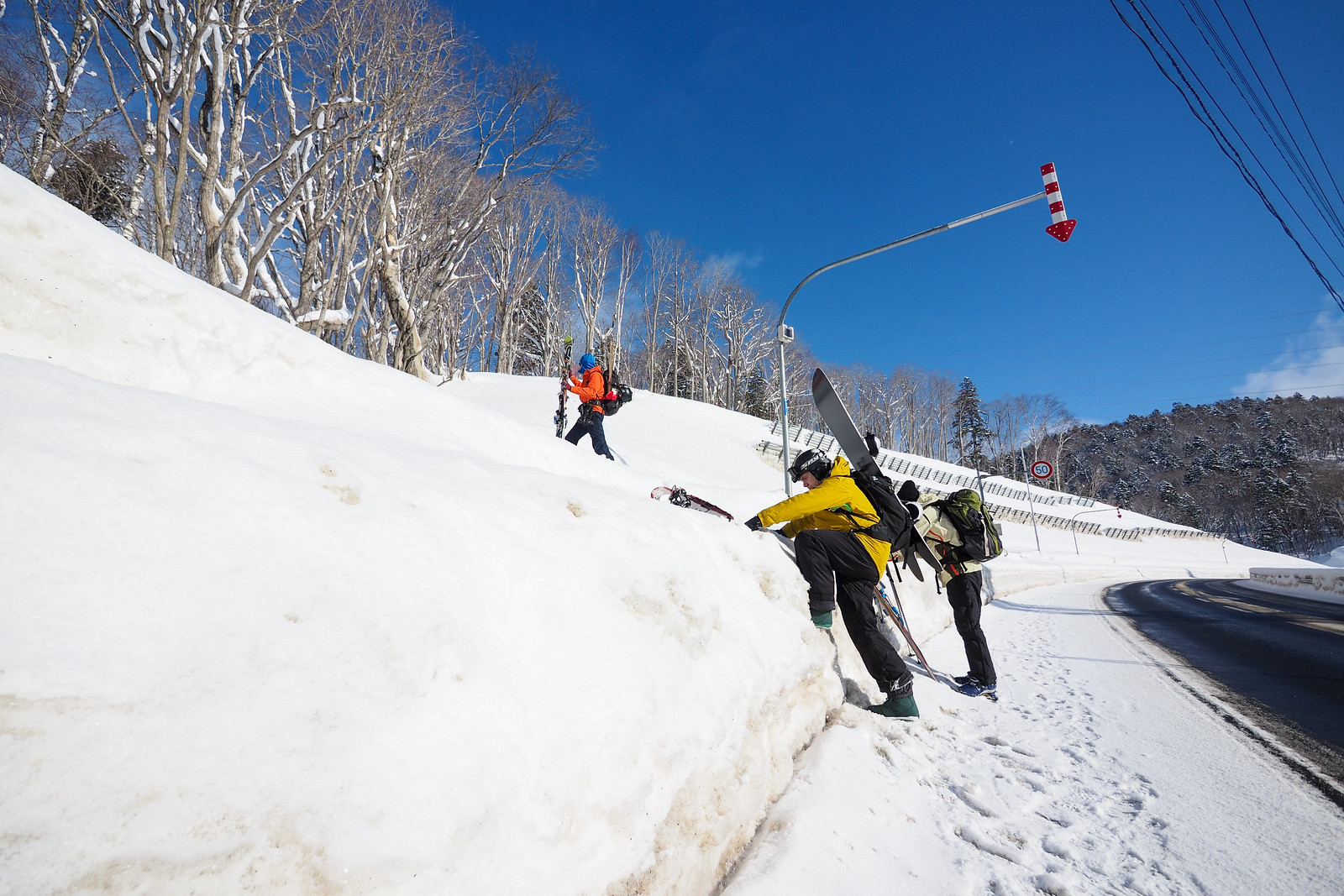
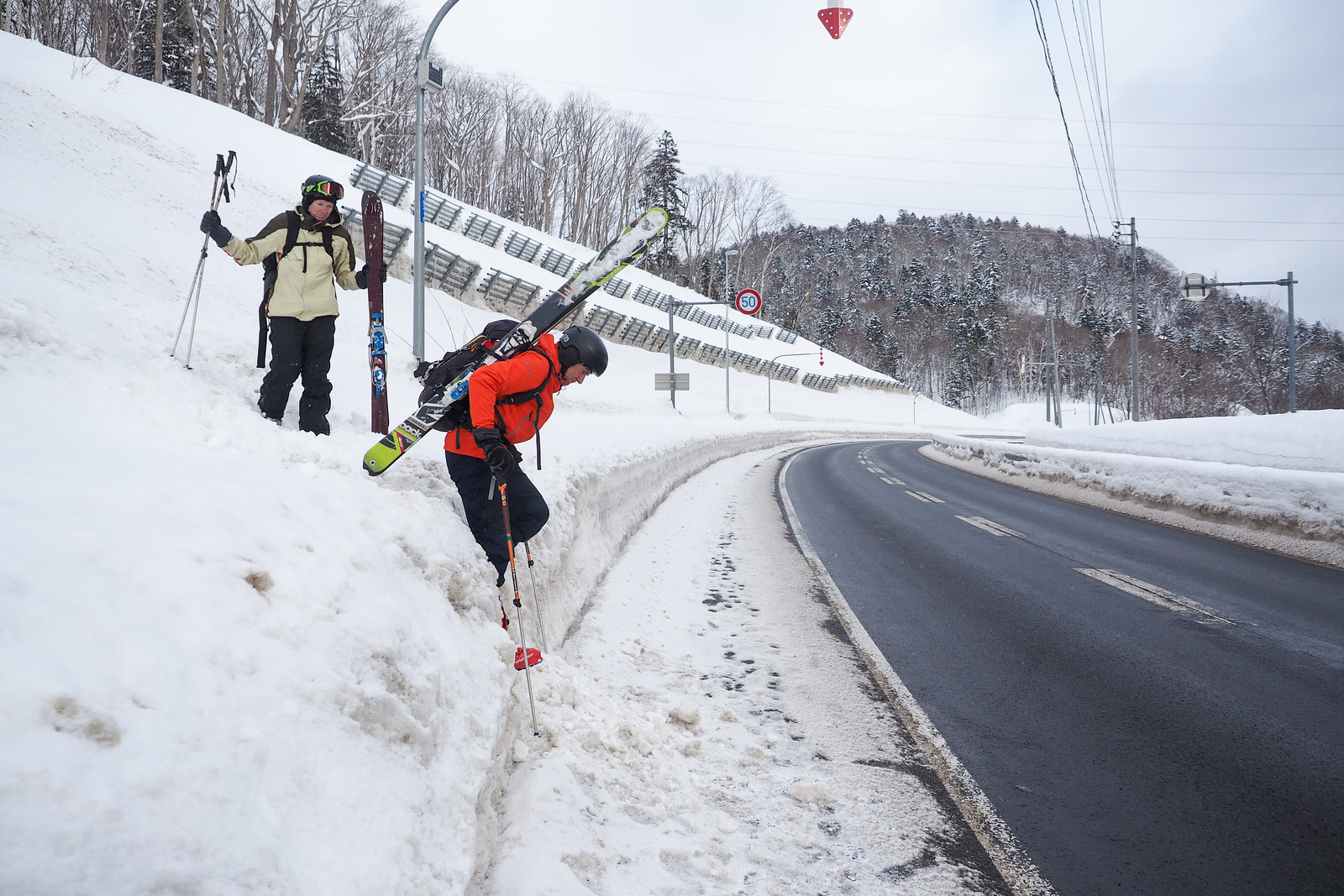
When we arrived at the carpark about 400m down the road from the trailhead, things were looking sunny. With three of us with skis and one with a snowboard, we made the initial trudge along the roadside. As usual, actually getting off the road and onto the snow required some scrambling…


Mt. Kokimobetsu-dake backcountry ski touring (Nakayama Pass, Hokkaido, Japan)

Mt. Kokimobetsu-dake backcountry ski touring (Nakayama Pass, Hokkaido, Japan)

Mt. Kokimobetsu-dake backcountry ski touring (Nakayama Pass, Hokkaido, Japan)


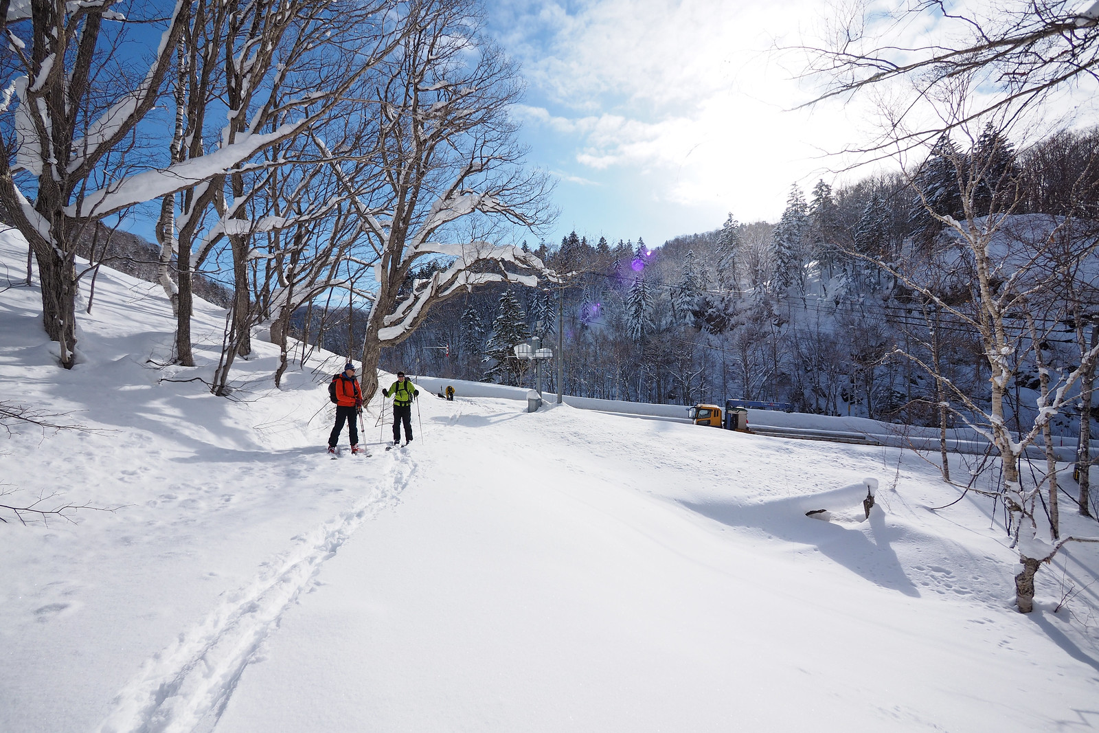
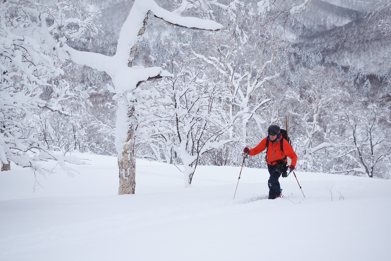
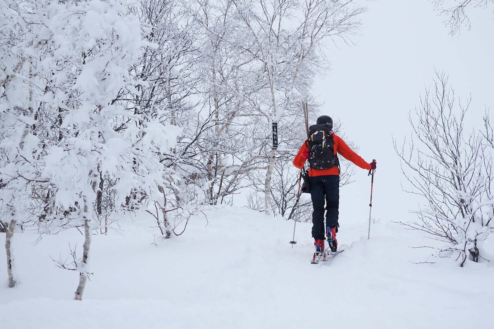
The blue skies lasted about 20 minutes once on the trail, before clouding over completely. From the trailhead, the route climbs almost immediately up to the closest pylon, before carrying on on a 51degree bearing straight towards the peak.


Mt. Kokimobetsu-dake backcountry ski touring (Nakayama Pass, Hokkaido, Japan)

Mt. Kokimobetsu-dake backcountry ski touring (Nakayama Pass, Hokkaido, Japan)


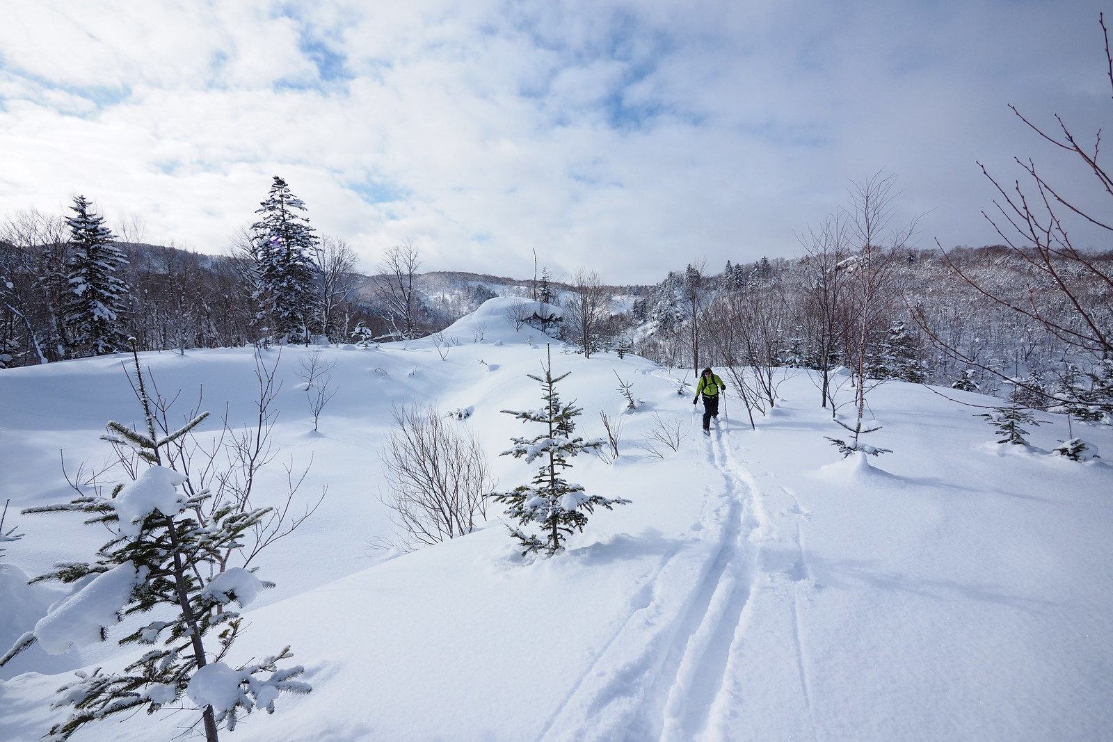
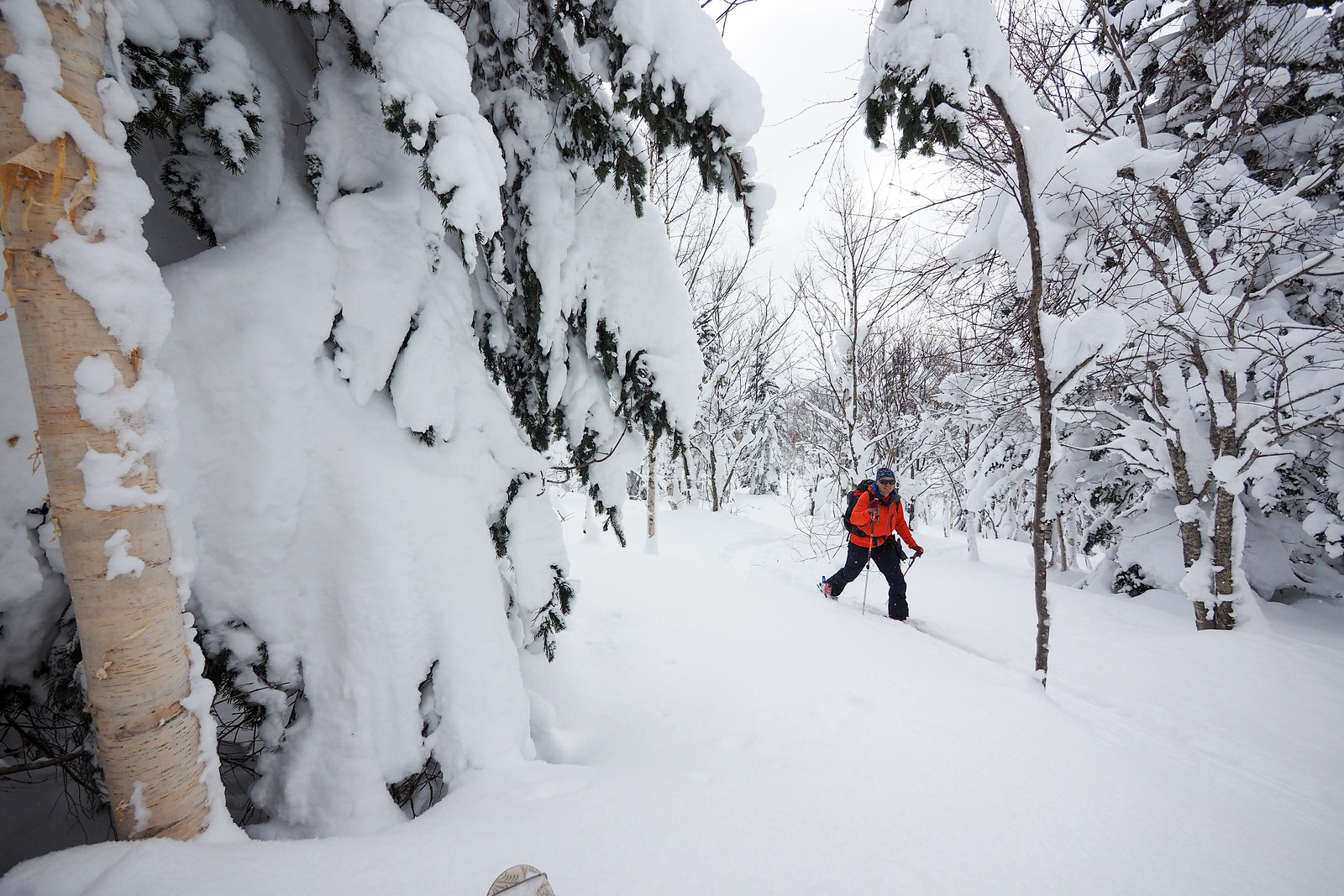
The route continues on the 51degree bearing through thin stands of trees and sporadic clearings. For the most part the middle section of the route is a very gentle uphill gradient and in parts it is flat.


Mt. Kokimobetsu-dake backcountry ski touring (Nakayama Pass, Hokkaido, Japan)

Mt. Kokimobetsu-dake backcountry ski touring (Nakayama Pass, Hokkaido, Japan)

Mt. Kokimobetsu-dake backcountry ski touring (Nakayama Pass, Hokkaido, Japan)


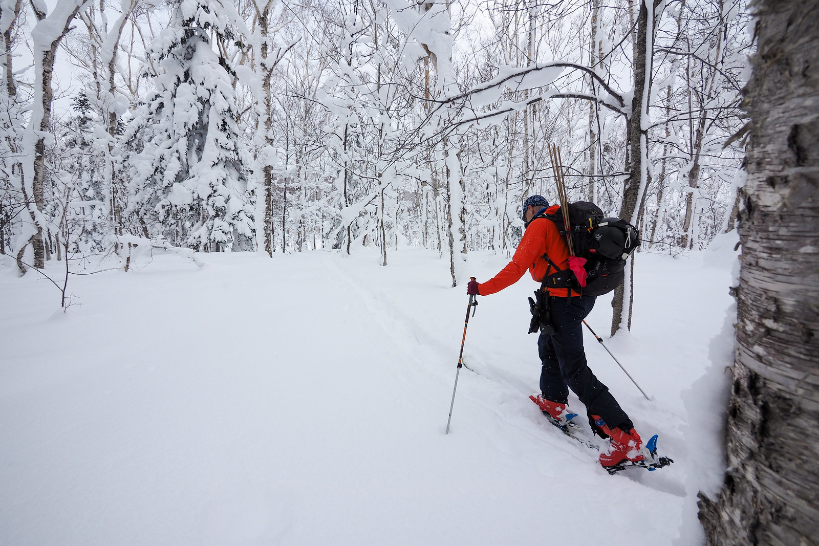
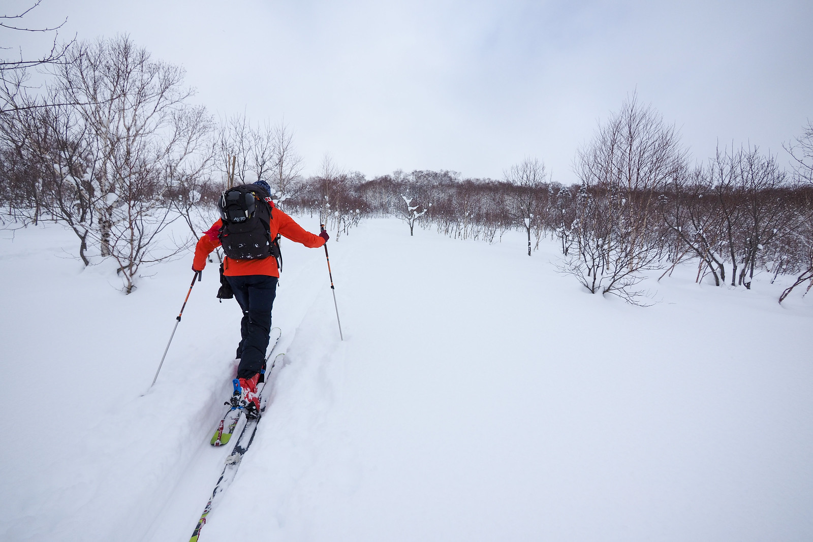
At around 730m in altitude, the route finally starts climbing in earnest towards the peak. In the end, this will give about 240m of easy, fun skiing on the downhill given the right conditions.

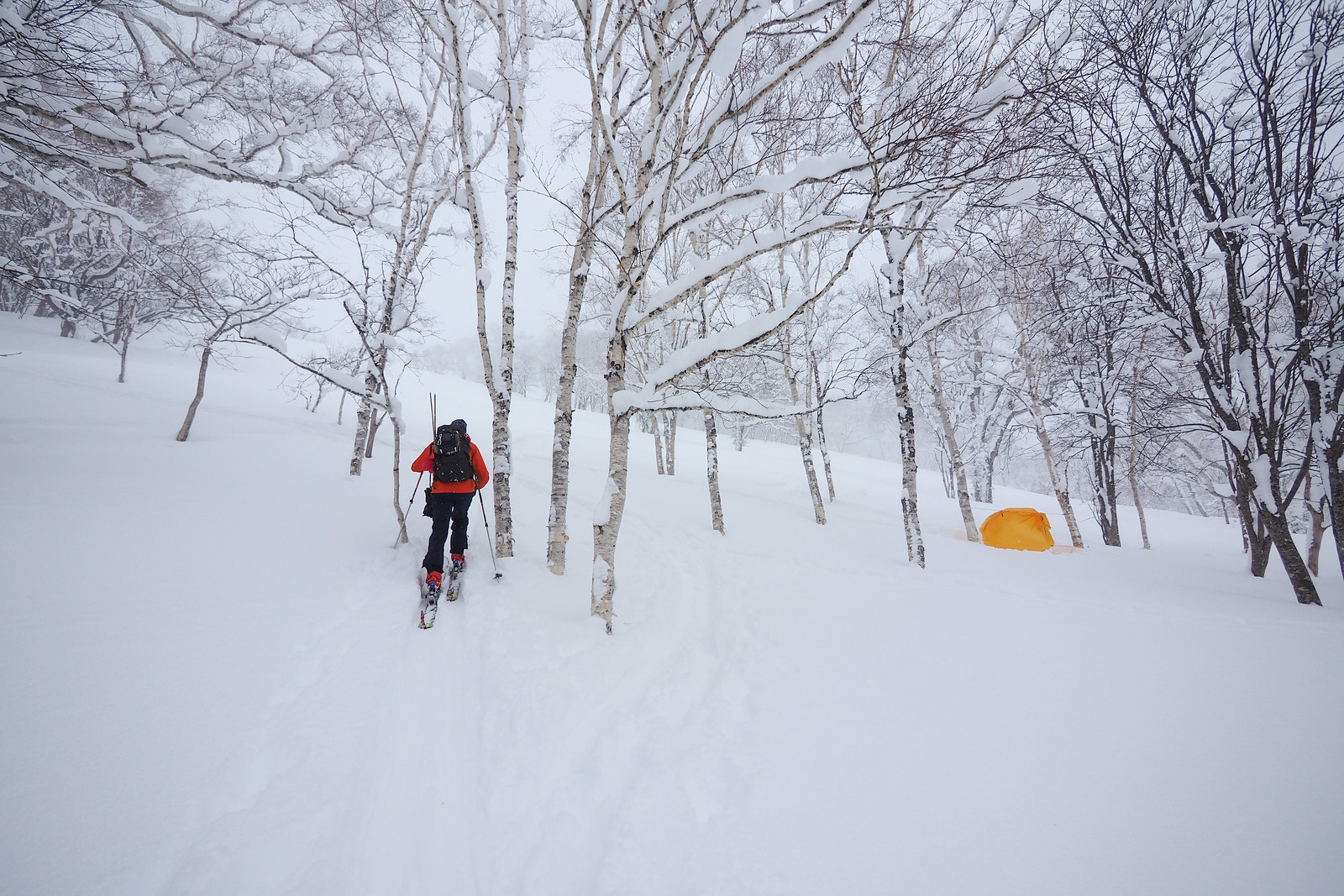
We noticed someone had set up a basic tarp shelter at the base of the hill – we would later see two snowboarders huddled in the shelter cooking something on their Jetboil stoves.


Mt. Kokimobetsu-dake backcountry ski touring (Nakayama Pass, Hokkaido, Japan)

Mt. Kokimobetsu-dake backcountry ski touring (Nakayama Pass, Hokkaido, Japan)

Mt. Kokimobetsu-dake backcountry ski touring (Nakayama Pass, Hokkaido, Japan)


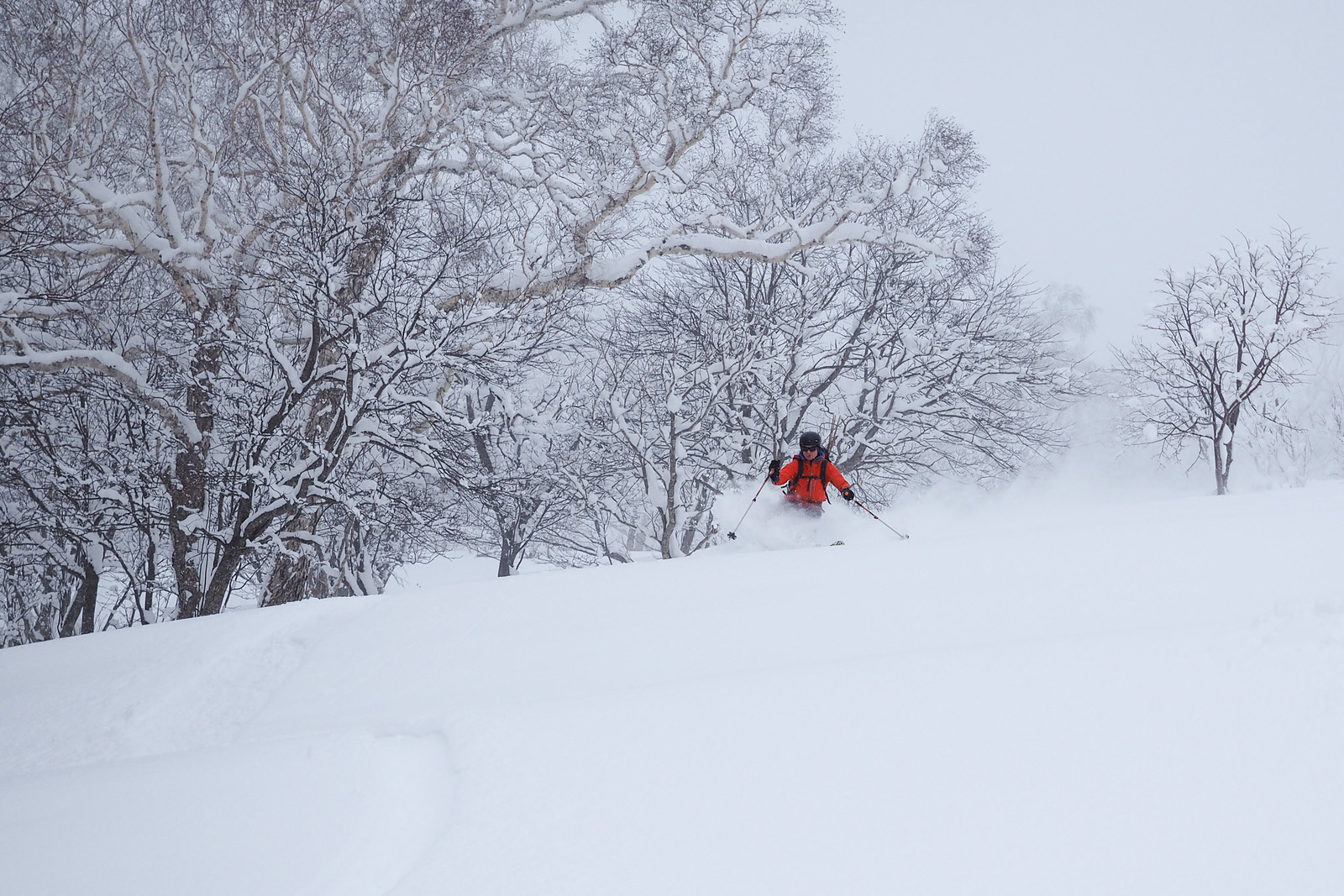
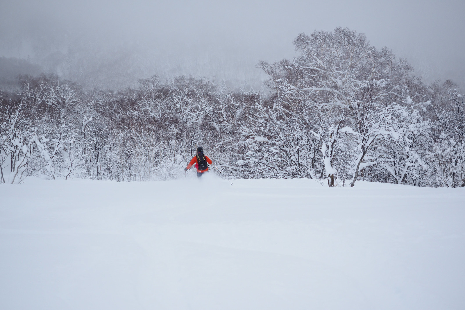
The ski down from the summit was mellow, and in the right snow conditions could possibly be great fun. We had some crusty snow which made things a little more challenging. For much of the downhill and flat sections after about 730m in altitude, the uptrack was my friend – keep the speed up was the name of the game.

Overall we felt that Mt. Kimobetsu, further up into the hills is a more exciting hill and worth the effort for the downhill. For a complete beginner, however, Mt. Kokimobetsu would likely be an enjoyable and challenging day out.


Mt. Kokimobetsu-dake backcountry ski touring (Nakayama Pass, Hokkaido, Japan)

Mt. Kokimobetsu-dake backcountry ski touring (Nakayama Pass, Hokkaido, Japan)

Mt. Kokimobetsu-dake backcountry ski touring (Nakayama Pass, Hokkaido, Japan)

As with each ski touring, cycle touring, and hiking route guide published on hokkaidowilds.org, should you choose to follow the information on this page, do so at your own risk. Prior to setting out check current local weather, conditions, and land/road/track closures. While traveling, obey all public and private land use restrictions and rules, carry proper safety and navigational equipment, and of course, follow leave-no-trace procedures. The information found herein is simply a planning resource to be used as a point of inspiration in conjunction with your own due-diligence. In spite of the fact that this information, associated GPS track (GPX, KML and maps), and all information was prepared under diligent research by the specified contributor and/or contributors, the accuracy of such and judgement of the author is not guaranteed. hokkaidowilds.org, its partners, associates, and contributors are in no way liable for personal injury, damage to personal property, or any other such situation that might happen to individuals following the information contained in this post.

Comments | Queries | Reports

Done this route to Kokimobetsu-dake, or others nearby? Thinking of doing it? Please post any feedback, reports, or queries here. Thanks!

2 thoughts on “Kokimobetsu-dake (Nakayama Pass)”

  1. Hi,
    I’m writing here to find buddies to do ski touring in the Niseko region from the 13th to 17th January!

    I’m from Switzerland and i’m use to ski touring.

    You can contact me on whatsapp at +41788975966

    Thank you

    Arvid

Leave a Reply

Your email address will not be published. Required fields are marked *

This site uses Akismet to reduce spam. Learn how your comment data is processed.

See More Like this