
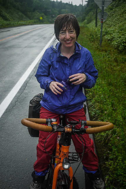
 the weather turned sour. The next three hours were spent head down squinting into a horizontal-rain storm, wind so strong as to threaten to blow us off our bicycles. Somehow Haidee kept stoically positive throughout.
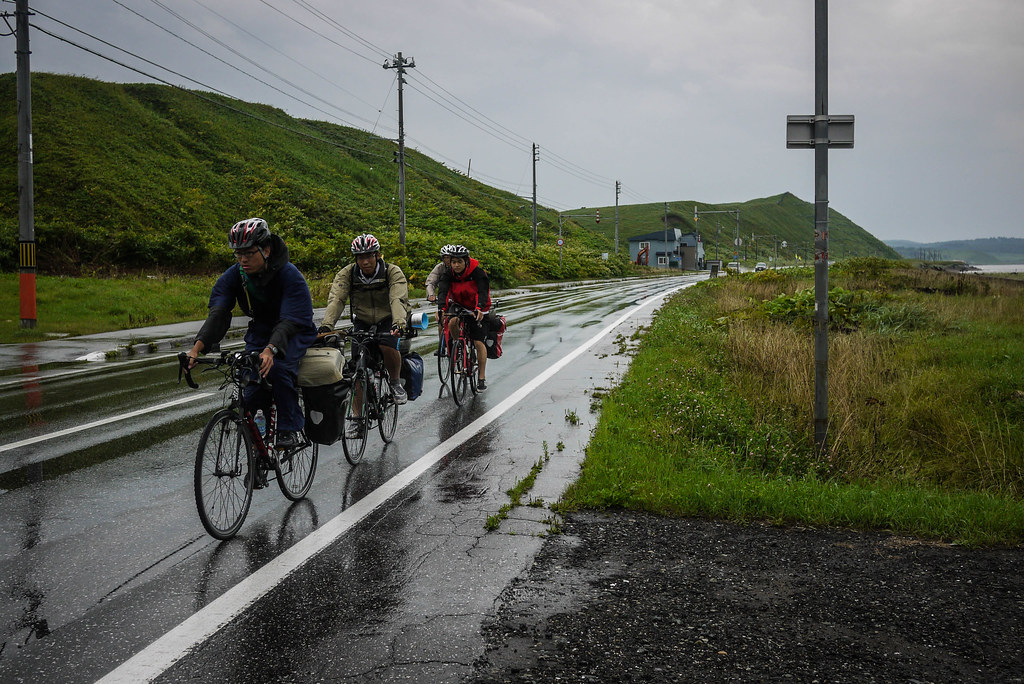
 We were passed numerous times by pelotons of university cycle touring club members, hurtling down the country. Some groups aimed to cycle at least 150km a day, by their own beaming admissions.
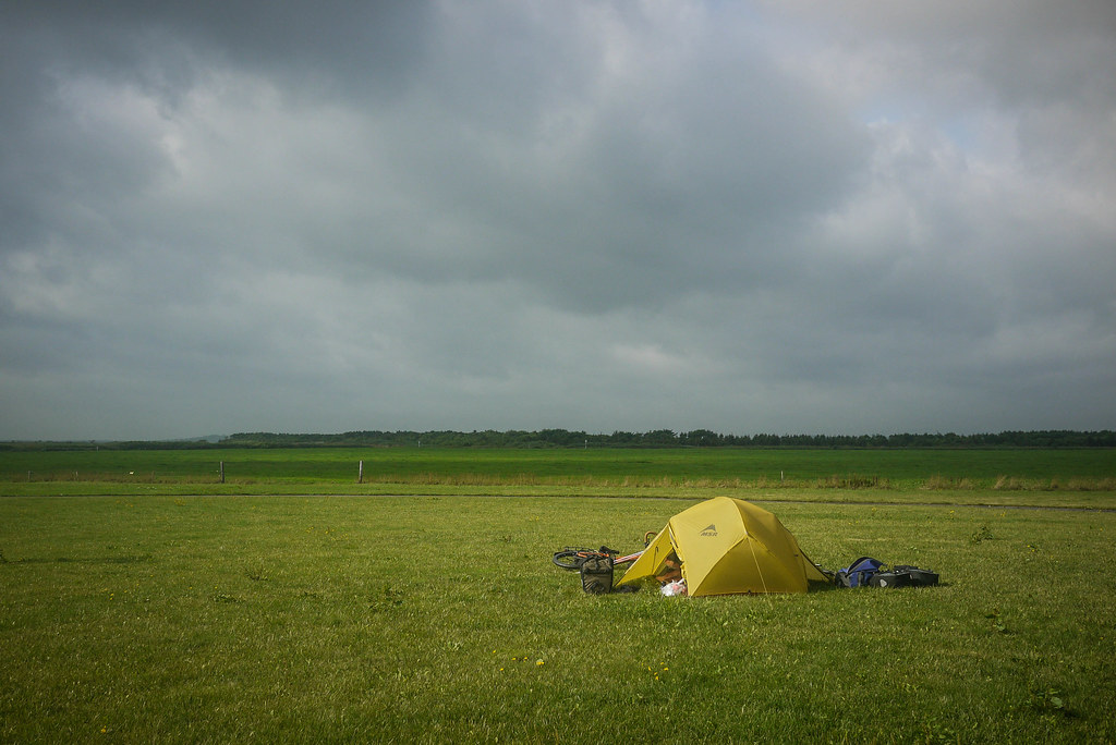
 On our radar was the Hamaonishibetsu campground. We were hoping for a nice tree-lined sheltered campground to pitch our tent. We got nothing of the sort. The campground was free, but so were the elements. With thunder rolling in the distance, we had no choice but to pitch the tent and hope for the best.
 The campground did have a couple of redeeming features however: A massive outdoor covered stage (we cooked dinner on our stove there as the rain pelted down) and an onsen (thermal spring) only 2 minutes walk away. We had a soak in the hot baths and then hung around watching TV in the communal lounge till closing time (10pm). It was still raining when we dashed to our tent.


4 thoughts on “Japan Far North: Day 7 (Wakkanai to Sarufutsu Town, Hokkaido)”
We’re rode this route in August, and had both sun and rain, but it was never too cold to camp. We started in Sapporo and headed north, which was lucky because we had lots of great tailwinds. So my advice would be to check the forecast and ride with the wind.
Good advice on the wind direction, Patrick. As you mention, it can really depend on the day/week – we had tailwinds going the other way 🙂
Hi,
I’m preparing a one-month cycling tour across Japan on my road bike, starting from Wakkanai, and your website is an invaluable resource.
Thank you for making such great tours and tips available. I wish the same existed for the others islands (although japancycling is a first step).
I’ll be more on the side of these university cycle touring club members but solo.
I was wondering when you took this tour, as it seems particularly wet. Was it around the time of posting (Aug2013)?
Likewise, although a bit cold, do you think October should provide me with fine (read: rather dry but chilly) cycling conditions?
Thank you
Justin
Hi Justin, great to hear you’re heading up this way. All of the cycling route ‘posted’ dates are the dates that the ride was ridden. On this northern Hokkaido tour we had a few days of rain – pretty usual for a tour at any time of the year. In Hokkaido, there isn’t really a wet or dry season. Some years we have a very wet August, some years it might be dry in August. Same goes for all the other months. What I can say is that October is getting a little bit late – average first snowfall north of Sapporo is around the 20th-ish of October. I hope this helps. Happy planning!