Tokushunbetsu-yama Ski Touring (Summer Trail Route)

徳舜瞥山 | Tukusis-un-pet

Posted on Apr 17, 2016
69 8
NW
Posted on Apr 17, 2016
69 8
NW
10km

Distance

5.5 hours

Time

740m

Ascent

1309m

Highest point

7.5/10
Difficulty
Snow Icon | Hokkaido Wilds
Jan-Apr

Best season

Mt. Tokushubetsu - the mountain with the impossibly complex Japanese characters (徳舜瞥山, 1,309m) - is one of those classic Hokkaido backcountry hills. Similar to Mt. Shakotan further northeast, it makes for a fairly straight-forward half-day spring trip - one that beginners and experienced skiers will enjoy. Rick, Jeff and I headed up on a mid-April spring jaunt.

Last updated Apr 2, 2021

Route Map

Need to know details

Location

Mt. Tokushunbetsu is about half way between Lake Shikotsu and Lake Toya in southwestern Hokkaido. The start of the winter route is around here.

General notes

This winter backcountry ski touring route up Mt. Tokushunbetsu roughly follows the summer trail to the summit and on the way back down. In spring, when the weather is more stable, it is a straight-forward mountain to ski. In the deeper winter months, however, conditions can be challenging, hence the ‘advanced’ difficulty rating.

Hut
None
Route details

This route is not marked.

Route Timing
Up | 4hrs
Down | 1.5hrs

Transport

Public transport:

There are no public transport options for this route.

By car:

There is room on the side of the road for cars to park near the start of the route (42°39’55.3″N 141°05’47.6″E).

Physical maps
Official Topo Map: Bankei (蟠渓) – map no. NK-54-15-13-3
Official Topo Map 2: Tokushunbetsu (徳舜瞥山) – map no. NK-54-15-13-1

NOTE: The official 1/25000 topo map(s) above can be purchased for 350yen from Kinokuniya bookstore next to Sapporo Station or online (in Japanese).

Aspect
The main aspect skiers are exposed to on the descent and/or ascent is Northwest. Therefore, keep an eye on the weather forecast a few days ahead of your trip to monitor wind, snow, and temperature. Also, since this route is in the general vicinity of the Shiribeshi area, consider looking at the Japan Avalanche Network avalanche bulletins (updated Tuesdays, Thursdays, Saturdays at 8am) or the daily Niseko Avalanche Information website. These may give extra insight into avalanche conditions in the greater area around the route.

Snow and
route safety

Notify the police of your backcountry plans online using Compass – instructions here.

Tokushunbetsu-yama Ski Touring (Summer Trail Route) Difficulty Rating

Category

Grade

Points

Strenuousness

Vertical Gain

B

35

Time ascending

B

6

Technicality

Altitude

A

10

Hazards

B

12

Navigation

B

12

Totals

75/100

GRADES range from A (very difficult) to D (easy).  More details here. Rating rubric adapted from Hokkaido Yukiyama Guidebook 北海道雪山ガイド.

Weather forecast

Windy.com weather forecast for Tokushunbetsu-yama
Onsen nearby

After the climb and ski, we drove for 15 minutes to the Kitayuzawa onsen area, and had a soak at the unassuming but awesome Yumoto Horohoro Mountain Lodge (Hororo Sanso – 湯元ホロホロ山荘). For the location on Google Maps, click here.

Extra Resources
  • See a different route in the write-up (in Japanese) in the Hokkaido Yuki-yama Guide (ISBN: 978-4894538047) on pp. 214-217.
  • See Hokkaido Hiking Logs’ winter trip report for Mt. Horohoro, the next peak along from Mt. Tokushunbetsu, here.

Guide Options

If you’s like to ski this route and/or explore other hills south of Sapporo together with a local certified guide, get in touch with either Wataru Nara or Yasuko Kikuchi. They’re both Hokkaido born-and-bred Sapporo-based JMGA-certified guides. They both cut their teeth on peaks including those around Sapporoa and have taken part in major international expeditions. In addition, see a full list of English-speaking Hokkaido Mountain Guides Association (HMGA) guides on the HMGA website here

Support us

Like this content? Buy the HokkaidoWilds.org team a coffee. 50% of tips go to the Hokkaido Wilds Foundation.

Show Full Route Notes Close Route Notes

Route Trip Notes

In exchange for an early 7:30am coffee and light breakfast at my place, Jeff and Rick drove past our place in Chitose City on their way to the Mt. Tokushunbestu route-head from Sapporo. There are a couple of ways of getting to the Mt. Tokushunbetsu start-of-route from Sapporo, and the one via Chitose, while not much further in terms of time, is not the most picturesque. I do hope the oat-infused crepes I made were worth it. At around 8:30am we were away from my place and making our way southwest in the direction of Lake Toya.

We arrived at the start of the route at around 9:30am. It was true spring-like weather, warm enough for just a thin layer at the car. This was Jeff’s first trip out with new touring skis, so we were all admiring his shiny new kit. K2 Coombacks with Tyrolia Ambition bindings, and Pomoca high-traction skins.

We were on the snow by 10am, to start the 3-hour skin to the top. Being mid-April, the farm roads we used access the lower reaches of the forest were only just covered with snow. Another week or so, and we’d surely be hiking for up to 1km on dirt roads. Up until around 670m in altitude, the route roughly follows a forestry road. The road, and surrounding forest, apparently is funded by one of the larger banks in Hokkaido – Hokuyou Bank. Hence the requisite cute characters adorning the signs.

One of the coolest things about Mt. Tokushunbetsu is its shape. It looks like a quintessential mountain. All on its own. Poking out of the rest of the terrain. And at quite a few locations along the route, it is there, looking at you. Nicely framed by the trees.

The route itself is fairly mellow for most of the way up. At around 700m in altitude however, there is a steep, tricky step up which requires some smooth kickturns. Trees are useful hand-rails.

Much of the way until 1000m is through nicely sparse, quiet forest…thinning out as we climbed higher, the peak of Mt. Tokushunbetsu still teasing us.

We started the skin up with perfect clear weather, but as the morning wore on, a thin layer of high cloud formed, and haze rolled in, limiting our view somewhat. Still, once above the high tree line, we could see across to the Pacific Ocean, Lake Shikotsu, and Mt. Yotei.

It was around this point that the surface was getting too icy for skinning. Jeff and Rick, who didn’t have ski-crampons, left their skis and continued on foot. I attached crampons to my skis and pressed on. The low pine, exposed in places, was actually grippier than the snow.

We made it to the top at around 1pm – more or less three hours from trailhead to peak. The lack of wind was refreshing, and we were able to sit down for a leisurely lunch. From the peak, the ski down (once past the exposed low pines) is rip-roaring fun for the first 400m or so.

Further down, there is a lot of tree-dodging to be done, and some pushing on the flatter areas. On a snowboard, the terrain would grow old fast.

Below is a mash-up of around 250 photos that I took, trying to capture some action on the downhill stretch. I think they capture a little bit of the tree-dodging madness on the lower reaches…

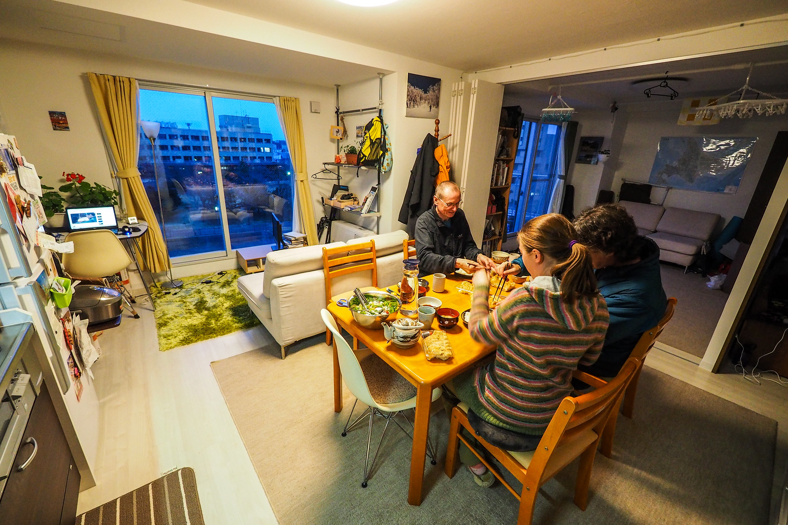
We got back to the car at around 2:30pm. Perfect timing to head to the unassuming Yunomoto Horohoro Mountain Lodge (Horohoro Sanso – 湯元ホロホロ山荘) for a soak in their massive onsen hotspring facility (location here on Google Maps). And then back to my place for a feed of gyoza, soup, rice and salad (very kindly arranged by Haidee!).

Big thanks to Jeff for driving, and to Rick for suggesting the trip!

Mt. Tokushunbetsu spring skiing (Hokkaido, Japan)

Comments | Queries | Reports

Done this route to Tokushunbetsu-yama, or others nearby? Thinking of doing it? Please post any feedback, reports, or queries here. Thanks!

8 thoughts on “Tokushunbetsu-yama Ski Touring (Summer Trail Route)”

    1. This is an awesome website, really clean, well organized and great for planning backcountry trips. I was wondering how February is for ski touring in Hokkaido? It seems like most trip reports are later than February. I’m planning a trip for 2022 and will probably get a guide.

  1. Amy Farrens McDonald

    The mountains actually look a lot like the Cascade Mountain Range where Jeff grew up. Are there any resorts in the area or is it all free of development? The pictures are beautiful!

    1. Thanks for the tour description.
      We habe been there today and the route is quite beautiful, especially in the upper section.
      For my taste the trees and bushworks are a bit too thick and tight for a flowy treerun. I know that there are skiers that enjoy technical and tricky tree runs and this might just be their tour. I dont recommend it in fresh powder conditions as i feel like the route is not that flowy. You might make better sense of fresh powder snow elsewhere . I could not get that many powder turns without having to slow down and check on the terrain. Nonetheless an interesting tour. Thank you anyways for this great website and the information it provides.

  2. Chris F from Bend....

    Great to see Jeff on skis! tell him to e-mail me!

    Having grown up with Jeff driving, I can tell you that you are lucky to be alive. 🙂

    1. Haha. He had brand new snow tires on his car for this trip, so it was smooth sailing! I shall direct him to your message!

Leave a Reply to Rob Thomson Cancel reply

Your email address will not be published. Required fields are marked *

This site uses Akismet to reduce spam. Learn how your comment data is processed.

See More Like this

Printable Tokushunbetsu-yama Topomap

TOPO DOWNLOAD (PDF, 31.4MB)

Download may take some time

Hokkaido Wilds Foundation

We’ve got affiliate links on HokkaidoWilds.org to help fund the Hokkaido Wilds foundation.

The Foundation gets a small commission on sales from affiliate links, but we only link to stuff we think is worth checking out for people keen on the outdoors in Hokkaido and Japan.

The Hokkaido Wilds Foundation is a fund where 100% of funds are donated to Hokkaido volunteer groups involved in sustainable, safe, and responsible access to the Hokkaido outdoors.

Learn more here

ADVANCED FILTERS

Filter by location

About Filters

REGION: The general mountain/geographical region the route is in.

BEST MONTH(S): Time of year a route is suited to visiting. Some pop all season, some are more limited.

DIFFICULTY: How strenuous a route is, and how technical it is. Full details here.

FREERIDE/SKITOUR: Very subjective, but is a route more-of-a-walk-than-a-ski or the other way around? Some routes are all about the screaming downhill (freeride), some are more about the hunt for a peak or nice forest (ski-tour). Some are in between. 

MAIN ASPECT: Which cardinal direction the primary consequential slope is facing, that you might encounter on the route. More details here.

ROUTE TAGS: An eclectic picking of other categories that routes might belong to.

SEARCH BY LOCATION: You can find routes near your current location – just click on the crosshairs (). You may need to give permission to HokkaidoWilds.org to know your GPS location (don’t worry, we won’t track you). Or, type in a destination, such as Niseko or Sapporo or Asahikawa etc.

Please let us know how we can make it easier to narrow down your search. Contact Rob at rob@hokkaidowilds.org with your suggestions.

Tokushunbetsu-yama Ski Touring (Summer Trail Route) Difficulty Rating

Category

Grade

Points

Strenuousness

Vertical Gain

B

35

Time ascending

B

6

Technicality

Altitude

A

10

Hazards

B

12

Navigation

B

12

Totals

75/100

GRADES range from A (very difficult) to D (easy). Hazards include exposure to avalanche and fall risk. More details here. Rating rubric adapted from Hokkaido Yukiyama Guidebook 北海道雪山ガイド.