Haruka-yama and Ginreiso Hut Overnight Hike

春香山

Posted on Jun 12, 2016
81 3

Posted on Jun 12, 2016

81 3

12.5km

Distance

4.5hrs

Time

750m

Ascent

907m

Highest point

3.5/10

Difficulty

Best season icon (Hokkaido Wilds)
Jun-Oct

Best season

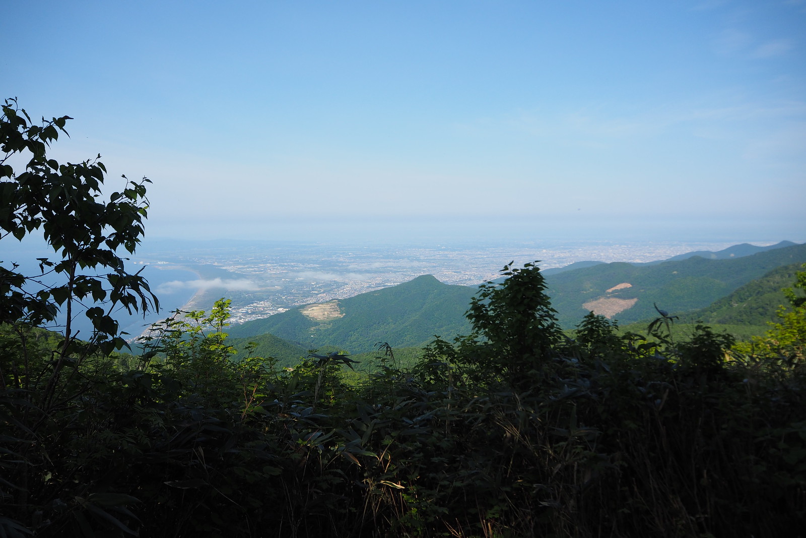
For an overnight hike involving a mountain hut, near Sapporo, Mt. Haruka and the Ginreiso Hut is probably the most accessible around. It'll require some booking ahead with the management of the hut, but it is well worth the effort. From the summit of Mt. Haruka, you'll get some good views over the Ishikari Bay and northern end of Sapporo City.

Last updated Jul 13, 2021

Route Map

Photo Gallery

Need to know details

Location

The trailhead to the Mt. Haruka trail is about 2km from JR Zenibako train station. The mountain itself sits on the ridge between the Japan Sea coast and Lake Jozankei in the west.

General notes

The hike to Mt. Haruka is a relatively easy day-hike, but makes for an excellent overnight trip due to the amazing Ginreiso Hut (hut details here). The hut is situated at around 750m, just before the final climb up to the summit of Mt. Haruka. This allows for a very leisurely start on Day 1, and an early start up to Mt. Haruka the next day (or for an evening sunset on Day 1).

Route Timing
Up | 3hrs
Down | 1.5hrs

About 3 hours from trailhead to summit. The hut is a leisurely 2.5hrs from the trailhead. From the summit, it should only take about 1.5 to 2 hours at a very lesurely pace back to the trailhead.

Route

There are sporadic route markers and signs (in Japanese), but the route is well defined. Just be sure to go right at the t-junction at the top of the ridge (at around 685m) to take you to the hut and on to the summit. Going left will lead you down to the 4WD track towards Lake Jozankei.

Transport

Public transport:

By train and taxi: Arguably the most straight forward option for public transport is to get a local train to JR Zenibako Station (on the same JR line as Sapporo Station), and catch a taxi from there. It’s only about 2.8km from the station to the trailhead (route map here), so the taxi is cheap. Try telling the taxi driver that you want to go to the haruka-yama tozan-guchi(春香山登山口 – Mt. Haruka trailhead). It will be downhill on the return trip, so can be easily walked on the way down.

By train and bus: Catch a train to JR Zenibako train station, and catch the Zenibako/Katsuraoka-sen (銭函・桂岡線) bus from the JR Zenibako train station bus stop heading towards the Zenibako Jo-sui-jo bus stop (銭函浄水場). From the Zenibako Josui-jo bus stop it is a 1.3km walk to the trailhead. The timetable for this bus can be seen here: Timetable info. Return bus timetable here.

By car: 

There is room for about 10 cars in two parking spots near the trailhead.

Hut(s)

(CLOSED) Haruka-yama Ginreiso Hut (full details here)

CLOSED: As of April 2022, Ginreiso Hut is closed due to old age and disrepair, and cannot be used (see news article here). It is locked and not accessible by the public. This hut’s future is uncertain. We’ll keep this information here in hopes the hut might be reopened in the future. Ginreiso Hut is owned by Tokai University (Sapporo Campus). It can take up to 50 people, and can be used year round (booking is required two working days in advance). There is a hutkeeper at the hut year-round also (although there are times when he is not present). Call Tokai Univesity on 011-571-5111 (in Japanese) for details and to book.

Physical maps
GSI Topo Map: Zenibako (銭函) – map no. NK-54-14-14-1
GSI Topo Map 2: Hariusu (張碓) – map no. NK-54-14-14-3

NOTE: The GSI 1/25000 topo map(s) above can be purchased for 350yen each from Kinokuniya bookstore next to Sapporo Station or online (in Japanese).

route safety

Police notification: Fill your police notification out online using Compass – instructions here

Weather forecast

Windy.com weather forecast for Haruka

Onsen nearby

Consider driving 20 minutes towards Otaru City, to the Asari Onsen area. Hotel Musashitei and Hotel Classe both have very nice onsen open to day visitors.

Extra Resources
No extra English resources that we know of. If you know of any, please let us know in the comments.

Guide Options

If you’d like to hike this route and/or explore other hikes in the central Hokkaido area together with a local certified guide, get in touch with Yasuko Kikuchi. Born and raised in Hokkaido, she’s a JMGA-certified guide now based in Sapporo. Her outdoor experience is broad and worldwide, having worked as a Canadian Ski Patrol member, and has sumitted a number of 6,000m+ peaks around the world. She speaks good English. In addition to Yasuko, also see a full list of English-speaking Hokkaido Mountain Guides Association (HMGA) guides on the HMGA website here

Support us

Like this content? Buy the HokkaidoWilds.org team a coffee. 50% of tips go to the Hokkaido Wilds Foundation.

Show Full Route Notes Close Route Notes

Route Trip Notes

What better way to celebrate a birthday than to hike a short 2.5 hours to a mountain hut and stay overnight. The perfect place for that in the Sapporo area has to be Ginreiso mountain hut at the foot of Mt. Haruka. Even in spring, with no snow around, this is a beautiful easy hike.

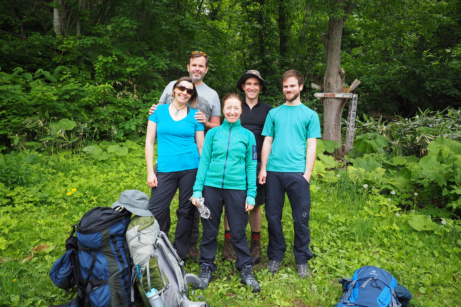
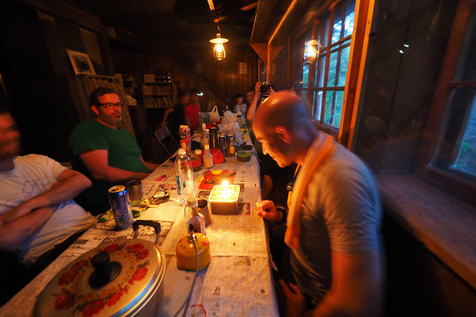
My birthday was on the Sunday, so I invited a few friends to hike up to the Ginreiso Hut at the foot of Mt. Haruka, just outside of Sapporo, here in Hokkaido, Japan. The plan was to schlep up fresh veges and some meat, some drinks and dessert, and make a bit of a birthday party of it all. We’d then hike down the next day.

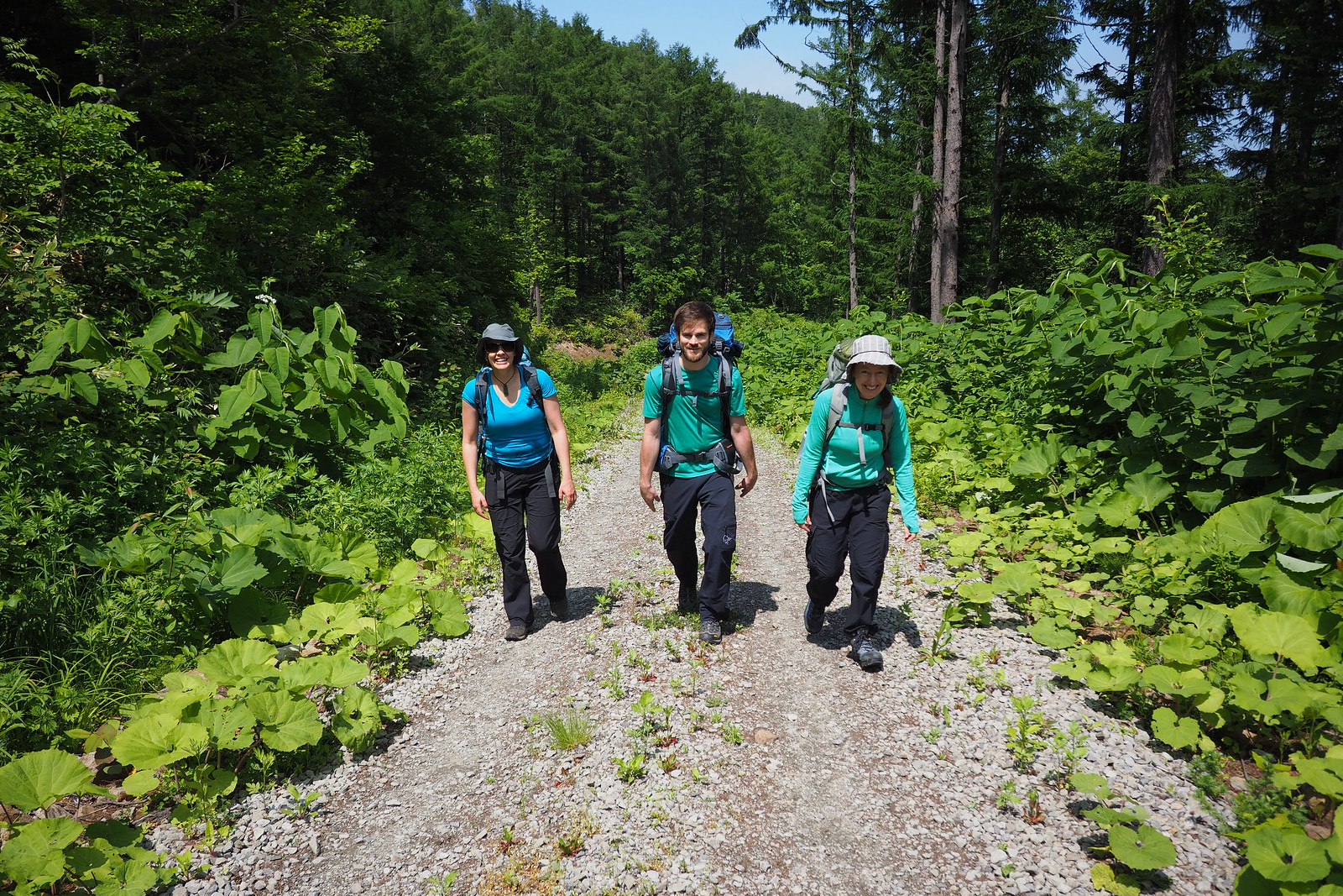
We started off at the start of the summer hiking trail (location) in beautiful weather, that would persist the entire time we were on the trail.

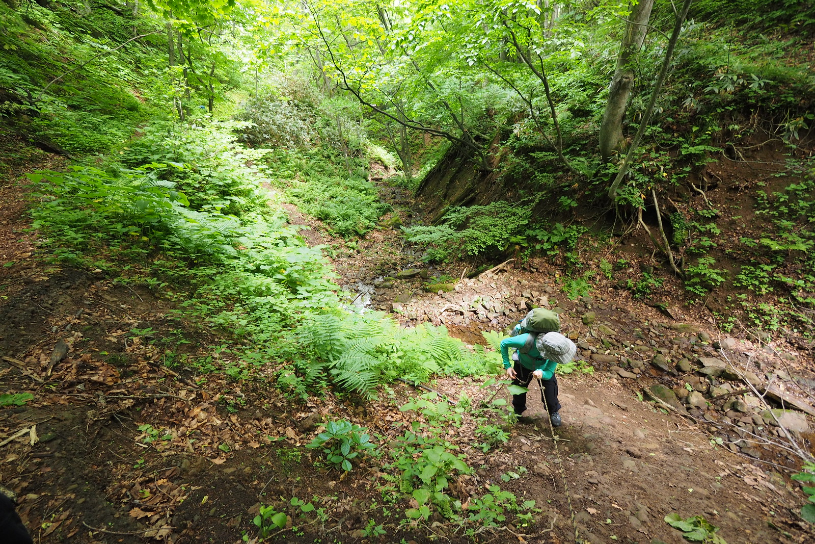
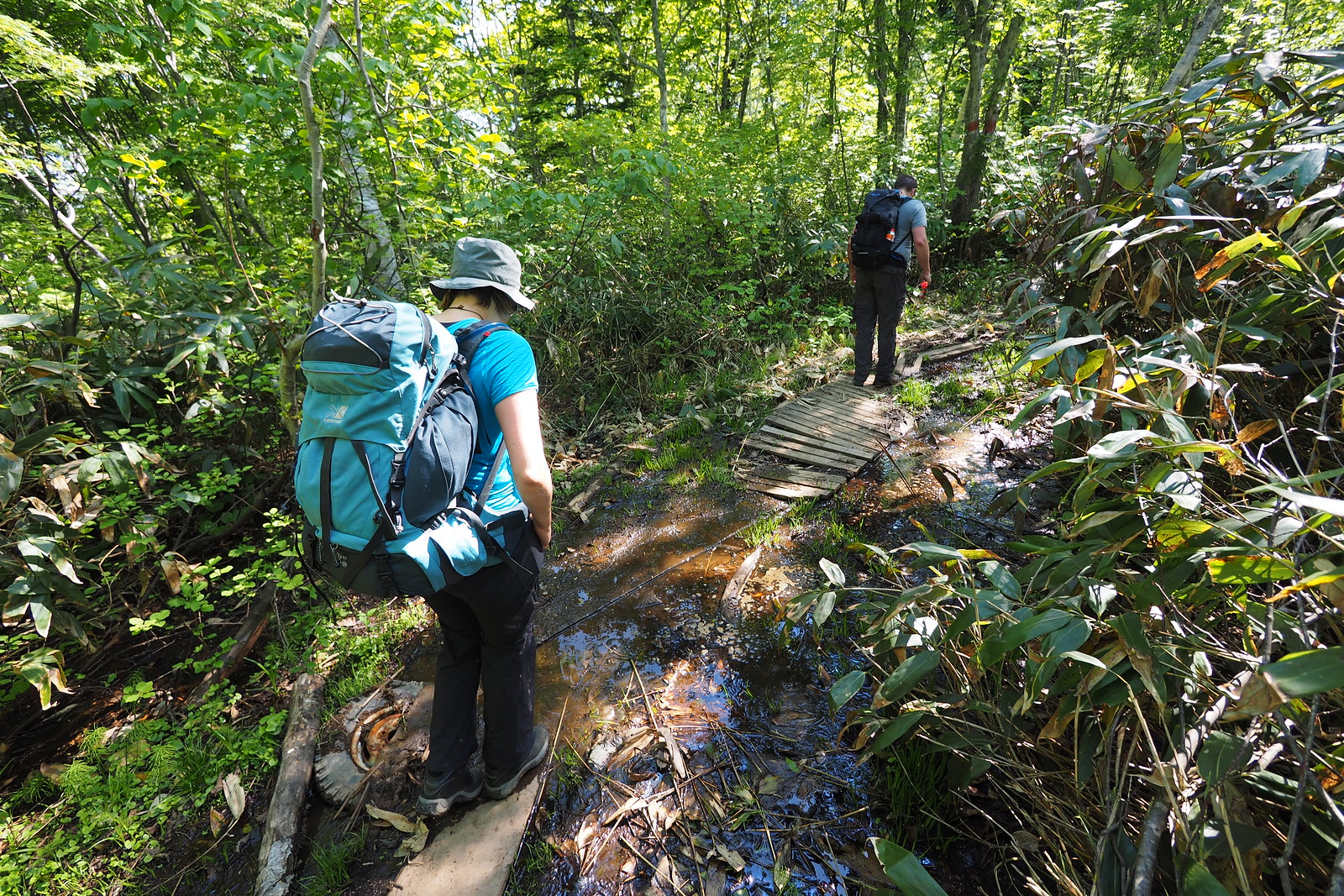
Not long after starting, we came across the most challenging part of the trail…a short washed-out part of the trail. Haidee and I had already started lowering ourselves down by the rope before the others found a new trail a little ways back along the track.

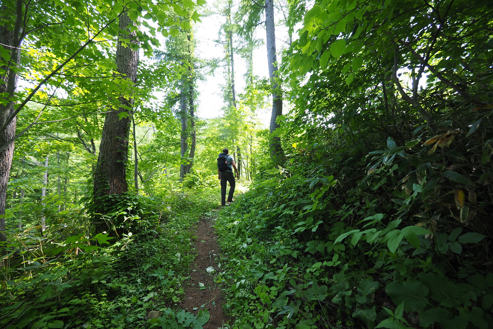
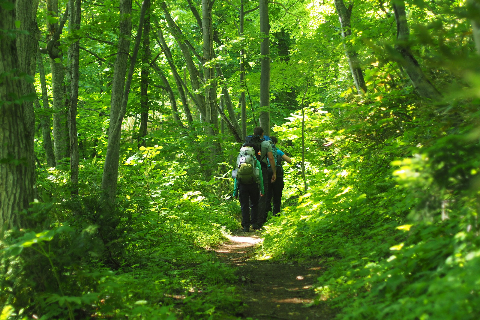
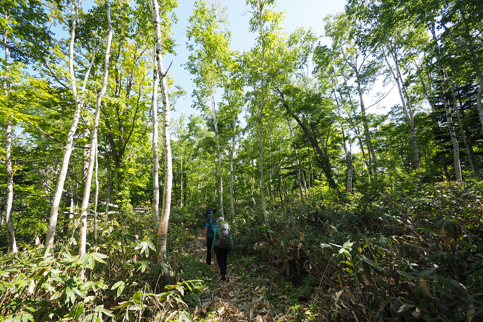
While under the shelter of the trees, the trail was cool and refreshing.

Harukayama and Ginreiso Hut (Hokkaido, Japan)

Although at times, the trail runs along an exposed forestry road, which can be hot in direct sunlight. Luckily this only continues for a very short distance.

Harukayama and Ginreiso Hut (Hokkaido, Japan)

On this trip, we opted to head straight to the summit of Mt. Haruka, just behind the hut. The summit is shrouded in trees, but there is one aspect that allows good views over the Ishikari Bay area, and northern Sapporo.

Harukayama and Ginreiso Hut (Hokkaido, Japan)

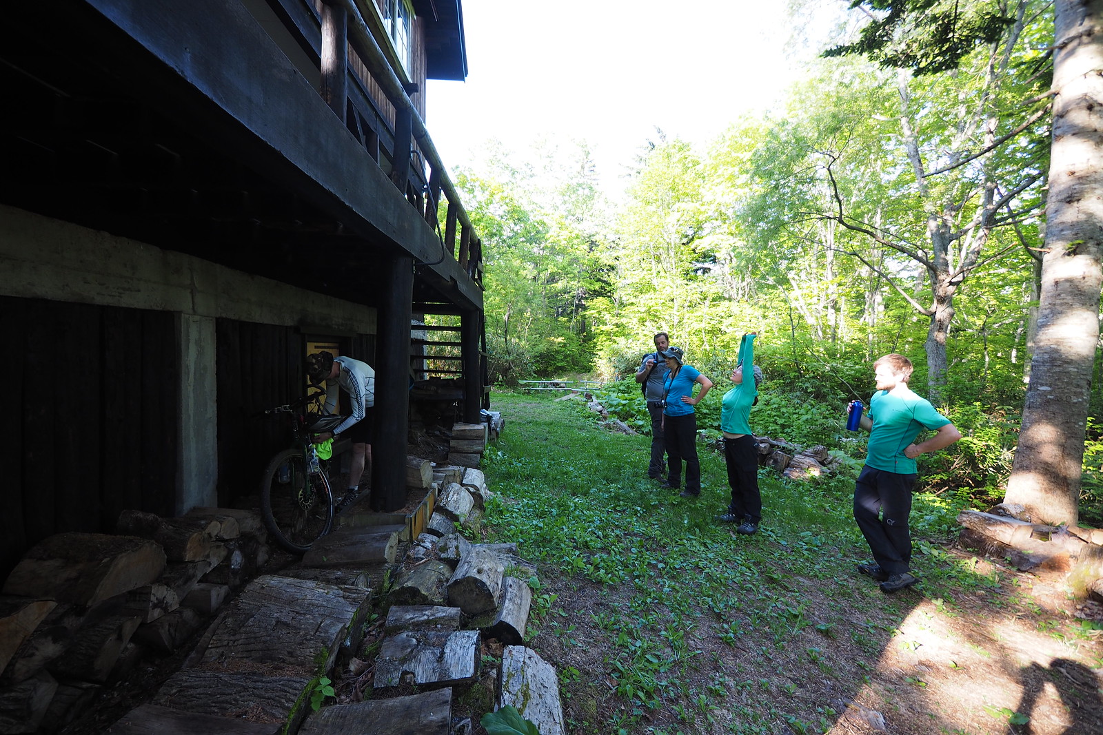
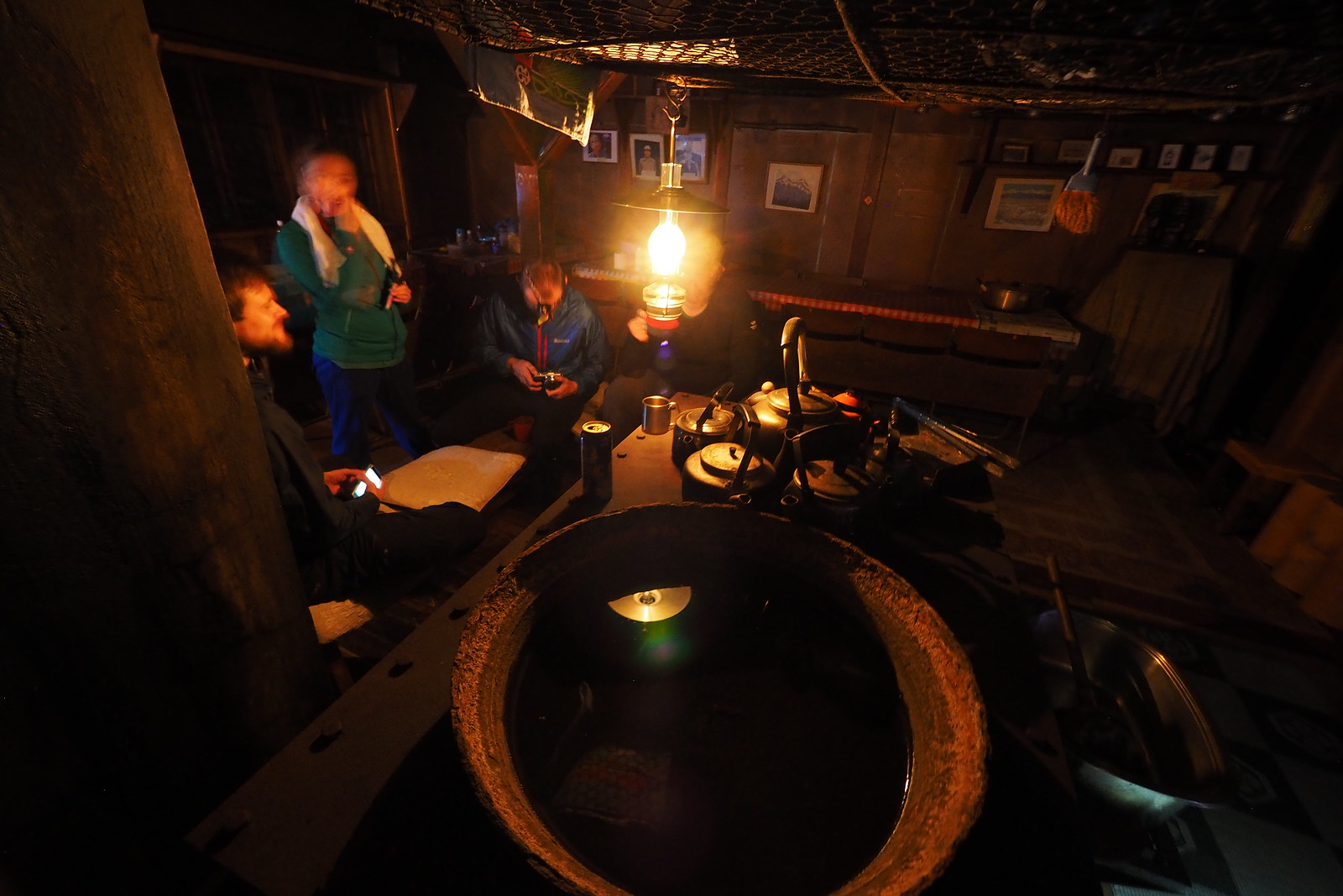
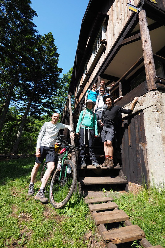
Ginreiso Hut itself is a three-story log house. There is enough room to sleep 30 people, although I imagine that would be a squeeze in the second-story cooking/kitchen area.

Harukayama and Ginreiso Hut (Hokkaido, Japan)

Mt. Haruka and Ginreiso Hut Hiking (Hokkaido, Japan)

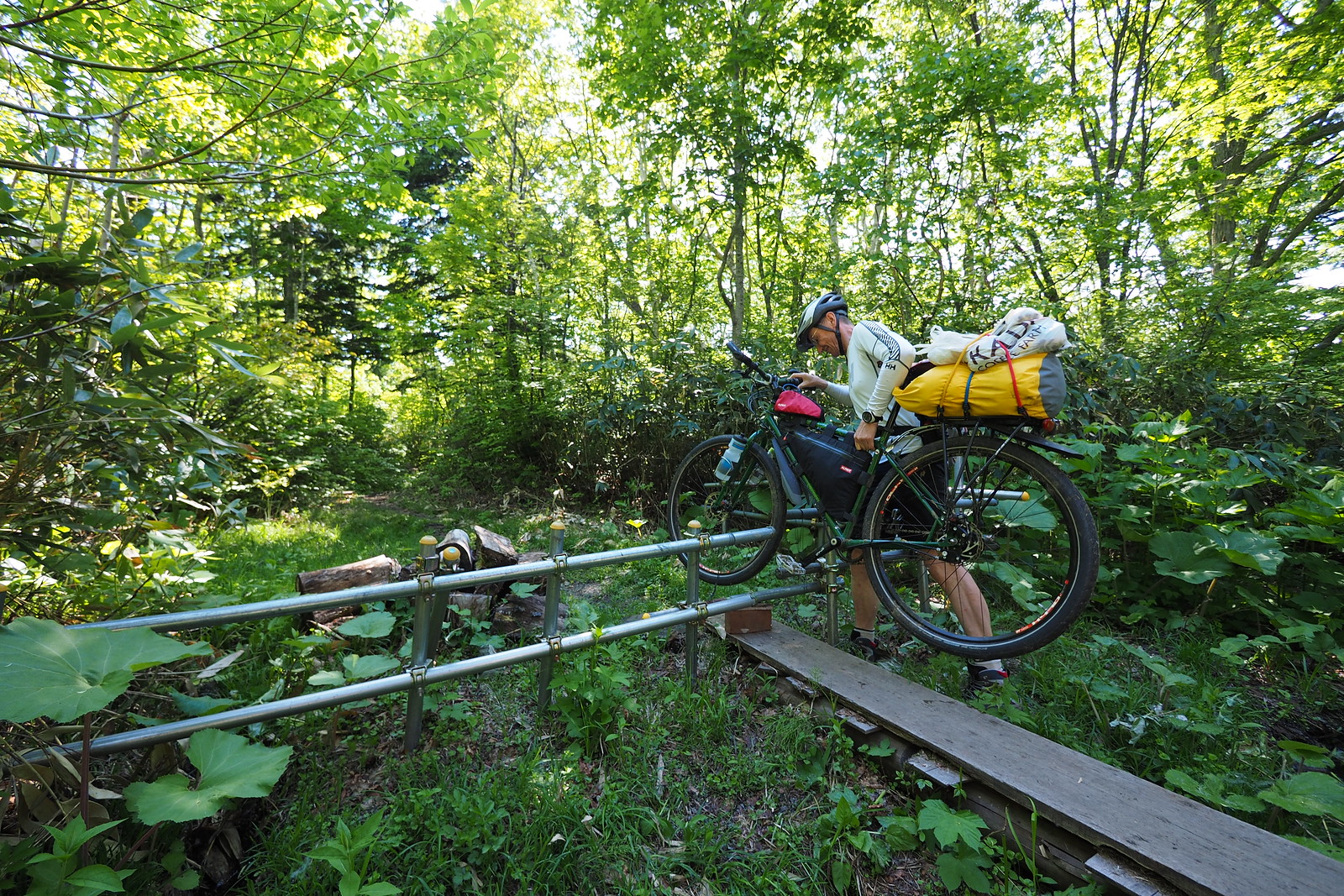
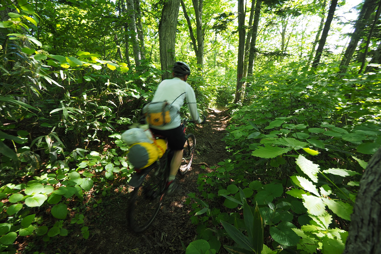
Rick had opted to bike up, coming from the opposite side of the valley, via Jozankei. He was following the Fuchs Loop, a circular cycle route that takes forestry roads on the way up, and takes the hiking trail on the way down (see the bikepacking route here).

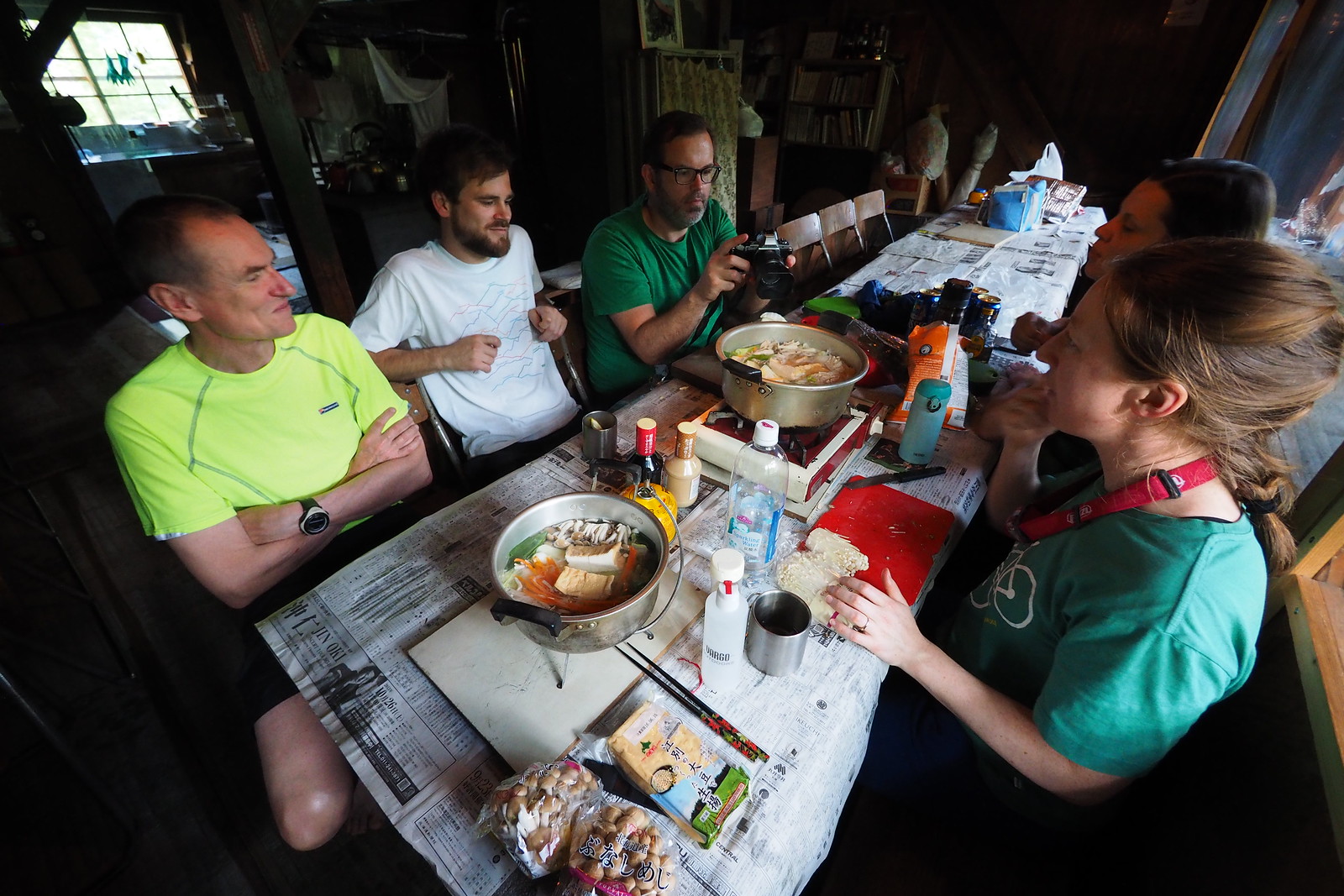
Once down from the summit, we got into dinner mode. On the menu was shabushabu, a Japanese hot-pot style communal dinner. The heavy, fresh ingredients were worth their weight!

Harukayama and Ginreiso Hut (Hokkaido, Japan)

We retired to bed at around 9:30pm, and most of us slept fairly well in the 3rd story sleeping quarters.

We were up at around 5:30am to 6:00am, and settled down to a slow breakfast of coffee, porridge, cake, and more coffee. We finally got out of the hut around 9am for the meander back down to the car.

Harukayama and Ginreiso Hut (Hokkaido, Japan)

Rick powered on ahead, the bear bells attached to his bike jingling like Santa’s sleigh. For more information about biking this route, check out my blog post here: The Fuchs Loop.

Harukayama and Ginreiso Hut (Hokkaido, Japan)

Comments | Queries | Reports

Done this Haruka route? Thinking of doing it? Please post any feedback or queries here. Thanks!

3 thoughts on “Haruka-yama and Ginreiso Hut Overnight Hike”

  1. I just did this tour yesterday and can confirm that the hut has been taken down fully. There is an empty plot there with a sign about construction.

  2. Hi!
    Thank you very much for this detailed description!
    I climbed the Mt.Haruka today (17.07.2019) starting from the Zenibako st. at 16.00.
    At the very start there were a couple of bear “piles”. So I started to blow the whistle on my back from time to time ))
    Ginreiso hut is butiful surroinding by the giant trees. View from the summit is very nice! It was evning with some rose clouds.
    Half of the descent I ran with headlamp.
    Hope I will have a time to walk some other of your nice tracks before the end of my vizit to Japan.
    Thank you!

Leave a Reply

Your email address will not be published. Required fields are marked *

This site uses Akismet to reduce spam. Learn how your comment data is processed.

See More Like this

Printable Haruka Topomap

Download may take some time

Hokkaido Wilds Foundation

We’ve got affiliate links on HokkaidoWilds.org to help fund the Hokkaido Wilds foundation.

The Foundation gets a small commission on sales from affiliate links, but we only link to stuff we think is worth checking out for people keen on the outdoors in Hokkaido and Japan.

The Hokkaido Wilds Foundation is a fund where 100% of funds are donated to Hokkaido volunteer groups involved in sustainable, safe, and responsible access to the Hokkaido outdoors.

Learn more here

ADVANCED FILTERS

Filter by location

About Filters

REGION: The general mountain/geographical region the route is in.

BEST MONTH(S): Time of year a route is suited to visiting. Some pop all season, some are more limited.

DIFFICULTY: How strenuous a route is, and how technical it is. Full details here.

FREERIDE/SKITOUR: Very subjective, but is a route more-of-a-walk-than-a-ski or the other way around? Some routes are all about the screaming downhill (freeride), some are more about the hunt for a peak or nice forest (ski-tour). Some are in between. 

MAIN ASPECT: Which cardinal direction the primary consequential slope is facing, that you might encounter on the route. More details here.

ROUTE TAGS: An eclectic picking of other categories that routes might belong to.

SEARCH BY LOCATION: You can find routes near your current location – just click on the crosshairs (). You may need to give permission to HokkaidoWilds.org to know your GPS location (don’t worry, we won’t track you). Or, type in a destination, such as Niseko or Sapporo or Asahikawa etc.

Please let us know how we can make it easier to narrow down your search. Contact Rob at rob@hokkaidowilds.org with your suggestions.

Haruka-yama and Ginreiso Hut Overnight Hike Difficulty Rating

Category

Grade

Points

Strenuousness

Vertical Gain

B

35

Time ascending

C

3

Technicality

Altitude

B

6

Hazards

D

Navigation

D

Totals

44/100

GRADES range from A (very difficult) to D (easy). Hazards include exposure to avalanche and fall risk. More details here. Rating rubric adapted from Hokkaido Yukiyama Guidebook 北海道雪山ガイド.