
Today it was raining when we got up.
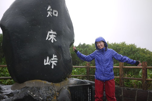
It was still raining after about a 2 hour climb up Shiretoko Pass (739m, starting at sea level).
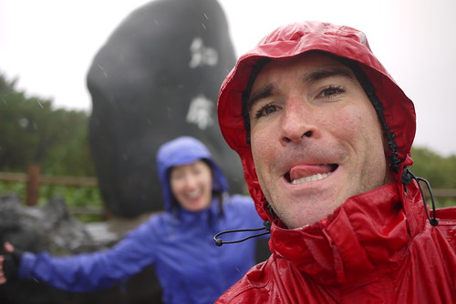
Incredulously, Haidee seemed still in a decent mood.
Although, this may have had something to do with the promise of a dry room when we arrived in Rausu, rather than a soggy campsite (as was the original plan…well, at least, the original plan was for a nice dry campsite opposite a free onsen…but sometimes the weather plays foul).
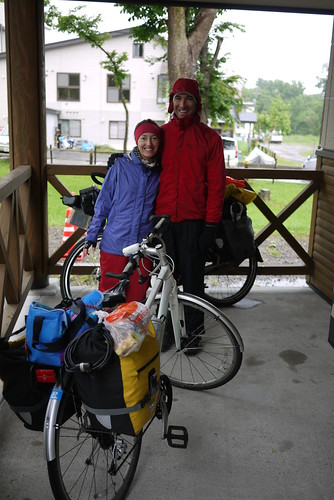
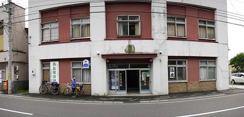
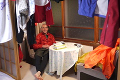
After a very chilly descent back down to sea level, we ended up at a dingy old ryokan (an old-style Japanese inn) for the night. They did a special deal for us: 7,000yen for the room. The only redeeming feature of the place was the attached natural onsen. Which was dilapidated (like the rest of the ryokan), but hot and good for tired muscles and frazzled nerves.
Route map
Distance: 33.6km | Time on bikes: 2h 59m | Average speed: 11.2km/h | Bears: 0
Financials: Food: 4,600yen | Accommodation: 7,000yen | Onsen (hotspring): 0yen


1 thought on “Shiretoko Loop Tour Day 5: Utoro to Rausu”
Our big day from Utoro to Rausu dawned sunny, but halfway up to Shiretoko Pass we hit cloud and rain. No view from the pass. We put all our cold weather gear on and plummeted down to the Kumanoyu hot springs. Passed a guy on a mamachari heading up, zigzagging on his one-speed bike. Respect!
We stayed at the campground opposite the springs.
I recommend a visit to the Rausu Visitor Centre https://map.uu-hokkaido.jp/e/rausu-visitor-center/) for its excellent natural history displays.