Posted on Mar 4, 2018
58 0
NE
Posted on Mar 4, 2018
58 0
NE
19km

Distance

7 hours

Time

1068m

Ascent

1460m

Highest point

8/10
Difficulty
Snow Icon | Hokkaido Wilds
Dec-Mar

Best season

Mt. Muine (無意根山, 1,464m) is a prominent, band-like mountain within the Shikotsu-Toya National Park. It is a popular destination for Sapporo-dwelling backcountry skiers, and can be approached from two different directions. The more popular direction is via the Senjaku Plateau (route guide here). The route below, however, goes via the Hokkaido University Ski Club's Muine Hut (無意根山尻小屋, 1,020m), one of the historic huts built in the hills of Sapporo in the 1930's. It is a long, flat approach, but the hut allows access to some great skiing from Mt. Muine's ridge.

Last updated Apr 2, 2021

Route Map

Need to know details

Location

This route starts a few kilometers towards Nakayama Pass from Jozankei, west of Sapporo City center (here).

General notes

The Muine Hut, managed by the Hokkaido University Ski Mountaineering Club, is accessed via a forestry road then mountain trail. From Muine Hut, there is one main route up to the summit of Mt. Muine. Via the Muine Hut is not the most popular of ways to get to the Mt. Muine summit, probably due to that long, very gradual 7km uphill via the road and track. Expect to break trail on the way up and the way down to the hut.

Hut
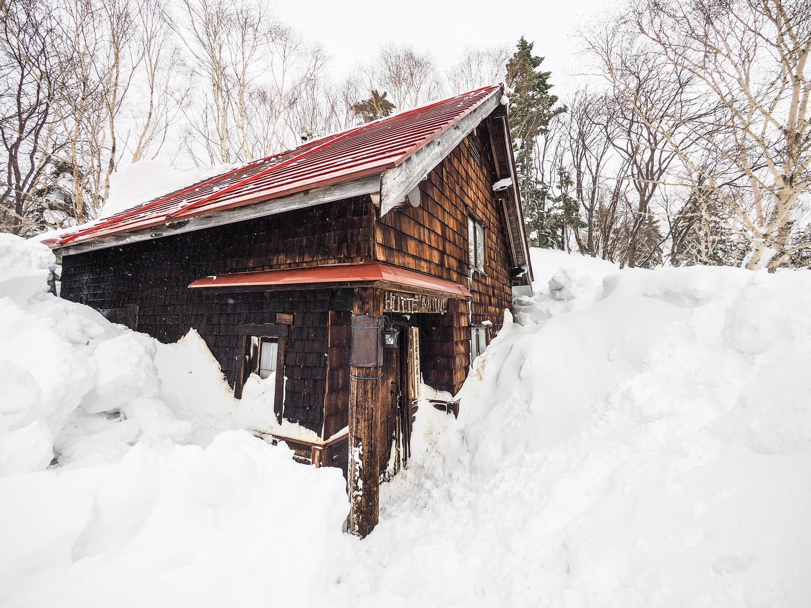
Hütte Muine (full details here)

NOTE: Unfortunately, Muine Hut burned to the ground on the night of the 2nd of November, 2024, due to a suspected chimney fire. The Mt. Muine Hut, or Hütte Muine (無意根尻小屋, 1,020m), is one of the huts owned by Hokkaido University. It is managed by the Hokkaido University Ski Mountaineering Club’s (北大山スキー部) and is one of the historic ski-touring huts built in the hills of Sapporo in the 1930s. As such, it is most popular in the winter, but it can also be used in summer.

Route details

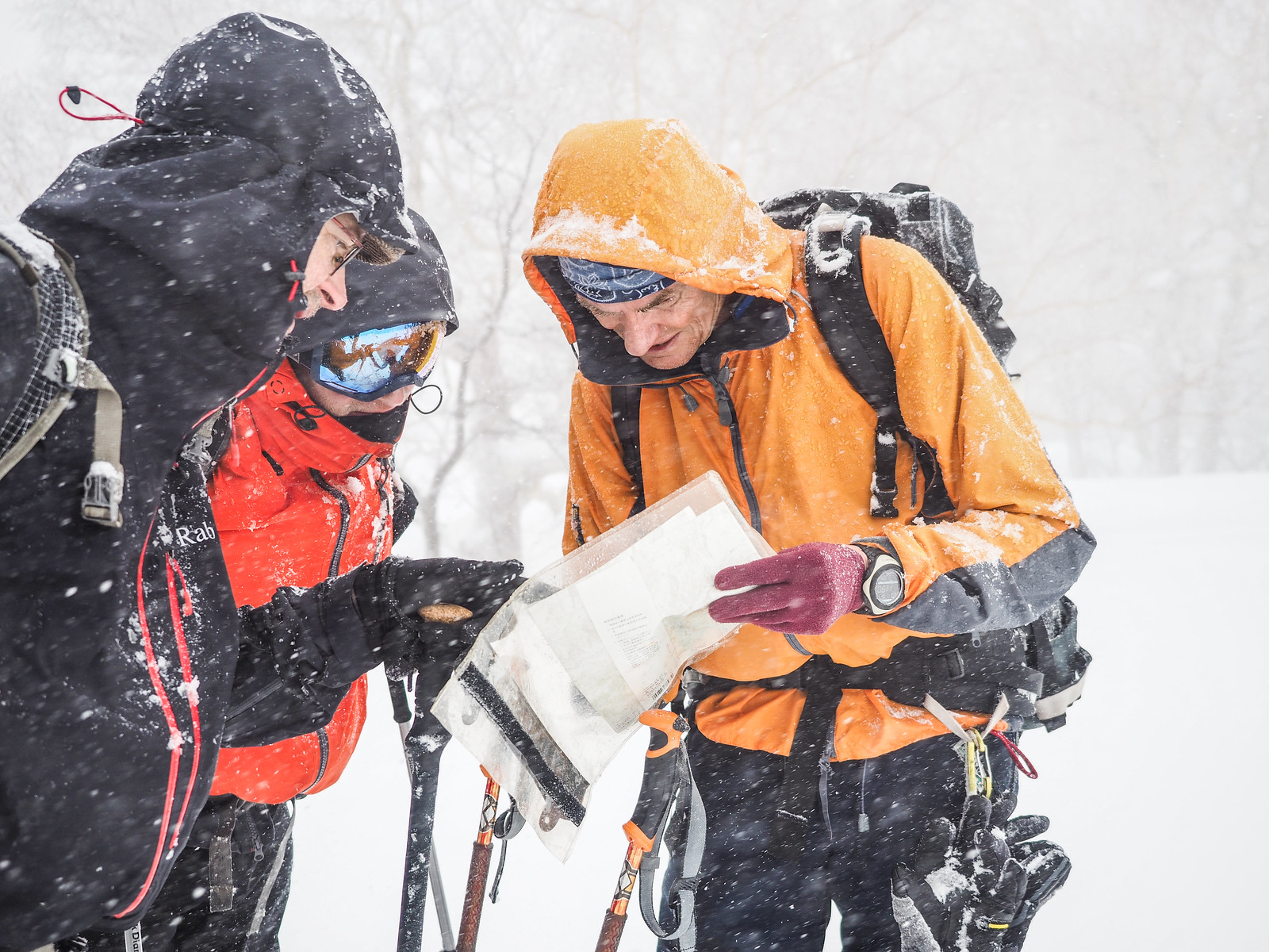
There are very sporadic route markers, but you’d best assume you’ll be navigating on your own.

Route Timing
Up | 7hrs
Down | 3hrs

It depends on the condition of the snow, but expect anywhere between three and five hours for a fit party to skin from trailhead to hut. Ski club members who we met at the hut who were new to skiing and carrying overnight gear took almost 7 hours from trailhead to hut (breaking trail the whole way). From hut to Mt. Muine summit should take no more than around 2 hours.

Transport

Public transport:

The trailhead is not accessible directly by public transport. However, by taking a free bus from Makomanai subway station (location) to Hana-no-Yu Onsen in Jozankei (location), it would be possible to then take a taxi from there to the trailhead for less than 2,000yen. As of March 2018the earliest Hana-no-Yu bus was 9:30am from Makomanai Station (Chuo Bus Kami-machi 1-chome bus stop – 中央バス上町1丁目バス停). The latest return bus from the onsen is 4:15pm.

By car:

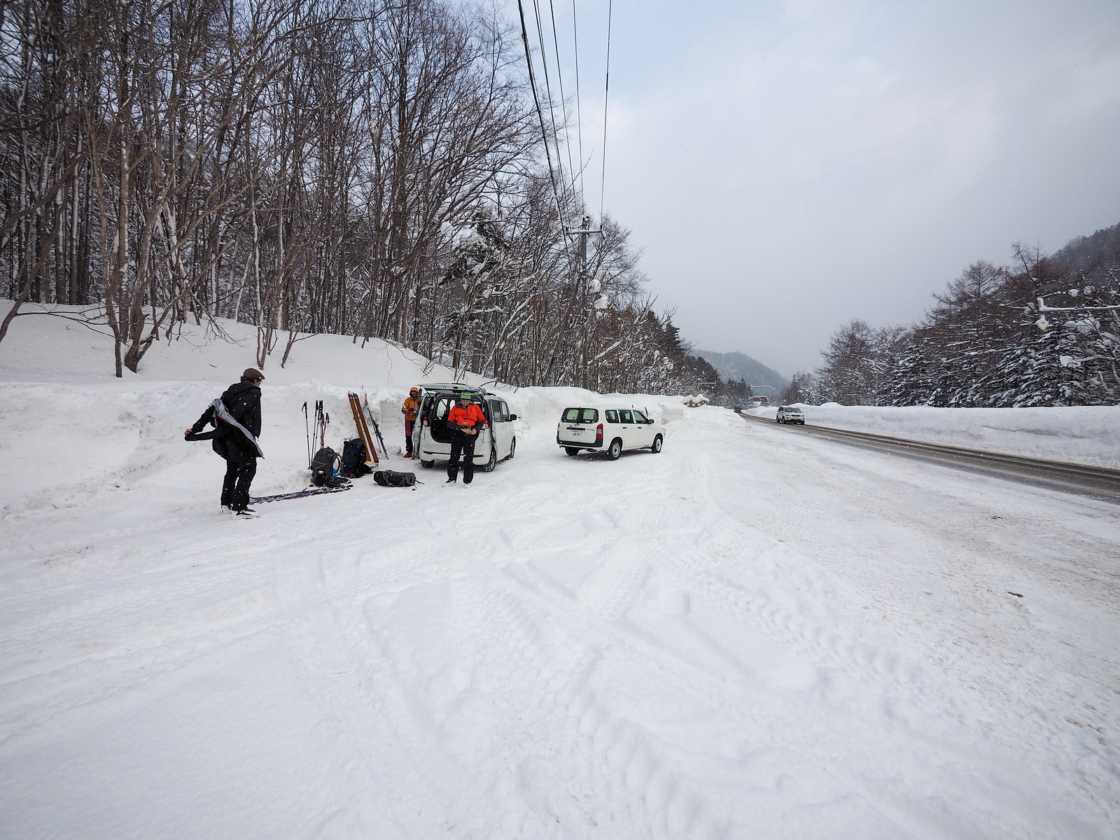
There is a large cleared parking space at the entrance to the forestry road (location).

Physical maps
Official Topo Map: Muine-yama (無意根山) – map no. NK-54-14-15-3

NOTE: The official 1/25000 topo map(s) above can be purchased for 350yen from Kinokuniya bookstore next to Sapporo Station or online (in Japanese).

Aspect
The main aspect skiers are exposed to on the descent and/or ascent is North. Other aspects that may also be encountered while following the route outlined on this page include: East. Therefore, keep an eye on the weather forecast a few days ahead of your trip to monitor wind, snow, and temperature. Also, since this route is in the general vicinity of the Shiribeshi area, consider looking at the Japan Avalanche Network avalanche bulletins (updated Tuesdays, Thursdays, Saturdays at 8am) or the daily Niseko Avalanche Information website. These may give extra insight into avalanche conditions in the greater area around the route.

Snow and
route safety

Mt. Muine and its surrounding area has some of the highest numbers of avalanche fatalities in the Sapporo region. This is due to the very steep terrain around Mt. Muine, so make conservative decisions when choosing slopes to ski.

  • Notify the police of your backcountry plans online using Compass – instructions here.

Muine-yama and Muine Hut Difficulty Rating

Category

Grade

Points

Strenuousness

Vertical Gain

A

40

Time ascending

A

10

Technicality

Altitude

A

10

Hazards

C

6

Navigation

B

12

Totals

78/100

GRADES range from A (very difficult) to D (easy).  More details here. Rating rubric adapted from Hokkaido Yukiyama Guidebook 北海道雪山ガイド.

Weather forecast

Windy.com weather forecast for Muine-yama
Onsen nearby

Jozankei Onsen area has a huge number of onsen to choose from. If traveling by car, consider either Hoheikyo Onsen (1,000yen per person, and they have Indian curry), Hotel Milione (500yen per person), or Matsu-no-yu closer to Sapporo City (about 650yen per person). If you’re doing the Hana-no-Yu and taxi option, then Hana-no-Yu is a great choice – the outdoor baths have nice views of the river.

Extra Resources
No extra English resources that we know of. If you know of any, please let us know in the comments.

Guide Options

If you’d like to ski this route and/or explore other hills around Sapporo together with a local certified guide, get in touch with either Wataru Nara or Yasuko Kikuchi. They’re both Hokkaido born-and-bred Sapporo-based JMGA-certified guides. They both cut their teeth on peaks including those around Sapporo City and have taken part in major international expeditions. In addition, see a full list of English-speaking Hokkaido Mountain Guides Association (HMGA) guides on the HMGA website here

Support us

Like this content? Buy the HokkaidoWilds.org team a coffee. 50% of tips go to the Hokkaido Wilds Foundation.

Show Full Route Notes Close Route Notes

Route Trip Notes

The Muine Hut is one the few huts I’d not visited in the Sapporo area. The main barrier to heading up there for was the long, 7km approach – half on a forestry road. This had put me off, but now after hauling myself up there, I can see the attraction of the place. Perfect access to the approach to Mt. Muine, and a couple of great options for mellow and steep skiing.

Rick had also not been to the hut before, so decided to join. It was also great to have some new friends join us on the trip. Quentin and Dom are both Belgian, with Quentin living and working in Mongolia. Dom is the director of the award-winning film The Nahani Whisperer (highly recommended!) Their stories of skiing expeditions deep into the Altai Mountain range were inspiring, so I was hoping we could show them something a little different here in our much lower altitude but much-bigger-snow Hokkaido.

Muine Hut ski touring (Sapporo City, Hokkaido, Japan)

The decision to stay at Muine Hut was a last-minute one. We had originally planned to visit Mt. Sahoro, but a massive low-pressure system had buffeted most of Hokkaido for the preceeding three days, dropping masses of new, relatively warm snow on road passes and, more importantly, the ridge we’d use to access Mt. Sahoro. A combination of having no guaranteed access across Hokkaido’s central passes by car as well as the very high likelihood of extreme avalanche danger and huge cornices made the decision to cancel the Mt. Sahoro trip disappointing but relatively easy.

The original plan had been to visit Mt. Sahoro with a full 10-person cohort of skiers, hikers and snowboarders on snowshoes, but this ended up being just the four of us. With the amount of new snow we’d had, trudging up that 7km access route to the hut would have been slow going. We had heard conflicting reports about how long it would take to get to the hut – my estimate was 3 hours, with another estimate at 7 hours!

We arrived at the head of the forestry road early enough that we made our departure on skis at 9:15am.

Muine Hut ski touring (Sapporo City, Hokkaido, Japan)

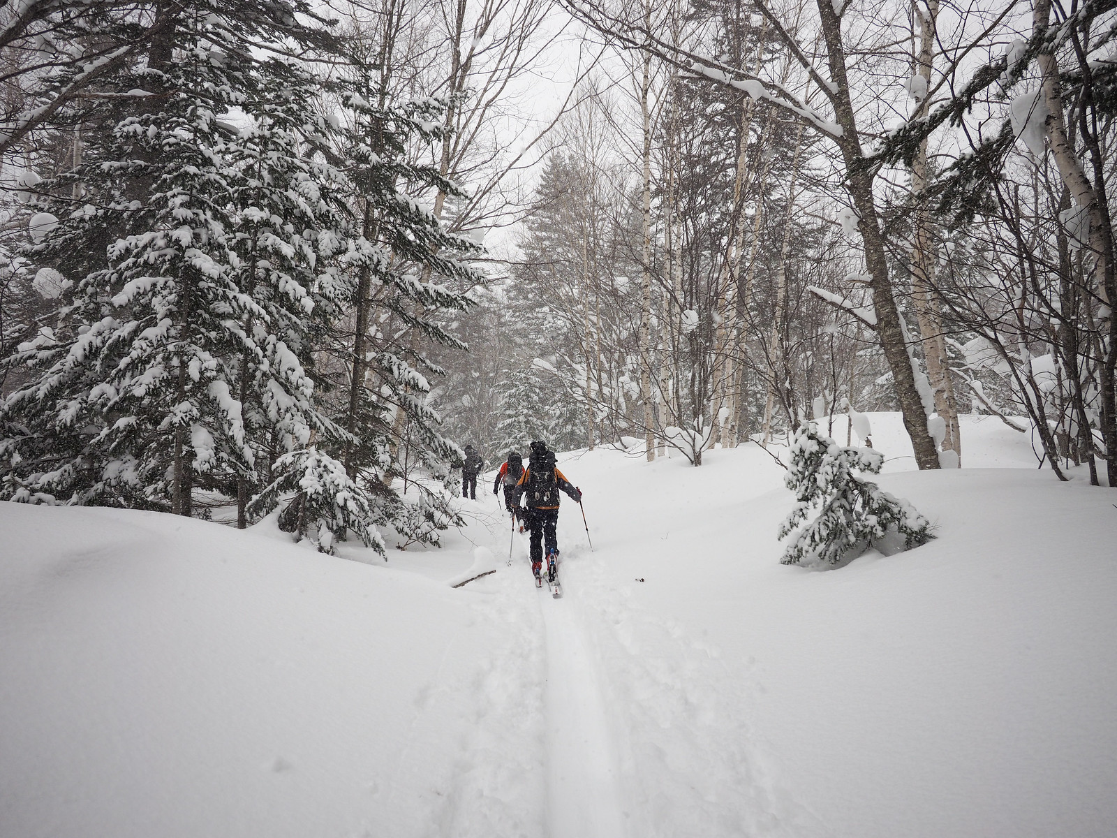
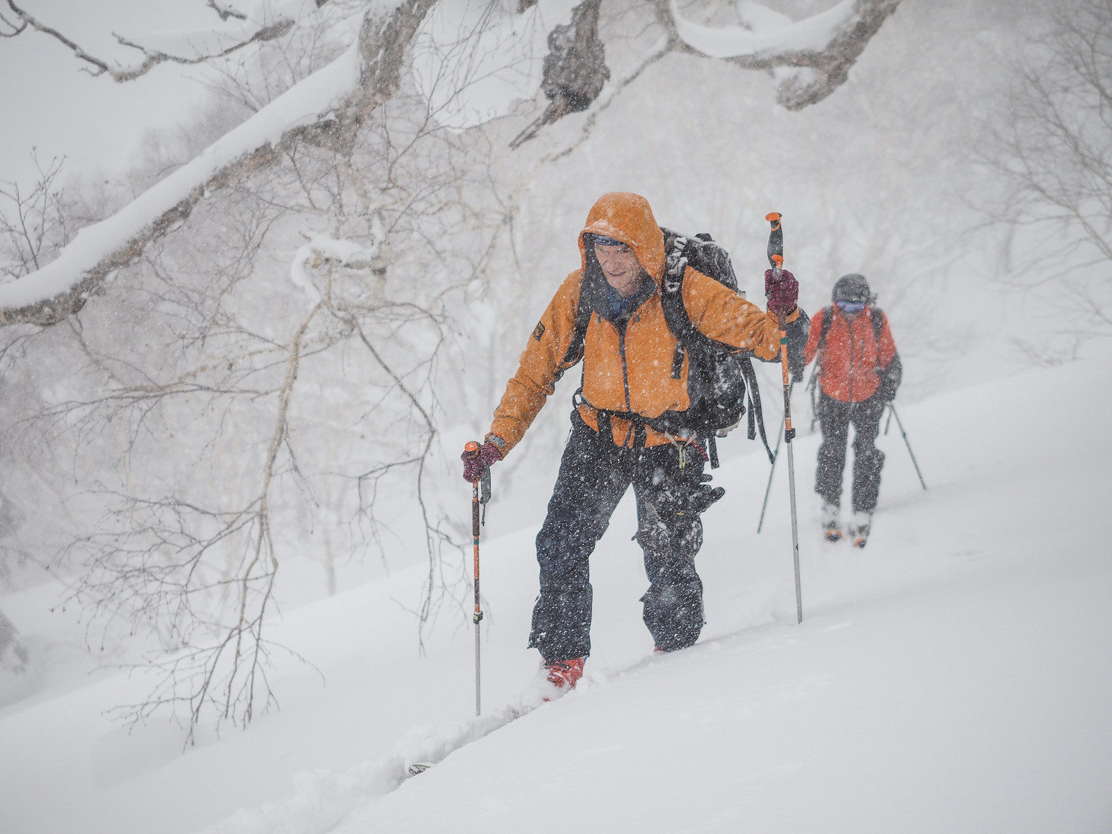
We were very lucky to have a fresh skin track all the way to the hut. This was laid by a group of four students from the Hokkaido University Ski Mountaineering club, as we would later find out. This allowed us to focus on pushing on up along the road and enjoying the surroundings, rather than a slow slog through very deep snow. Stepping off the skin track would remind us of how much work those students had put in.

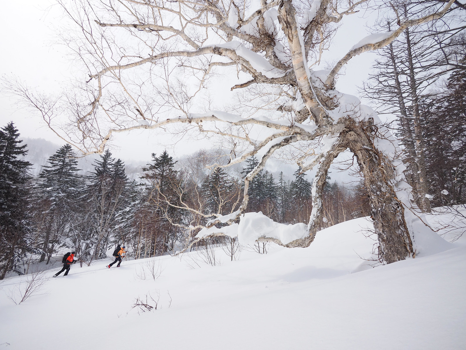
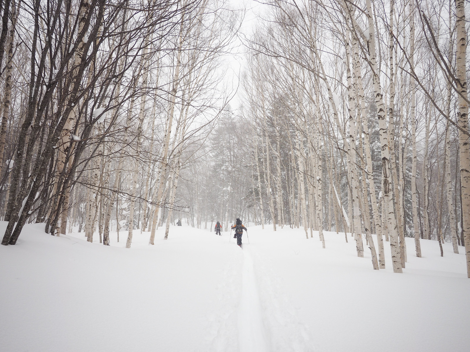
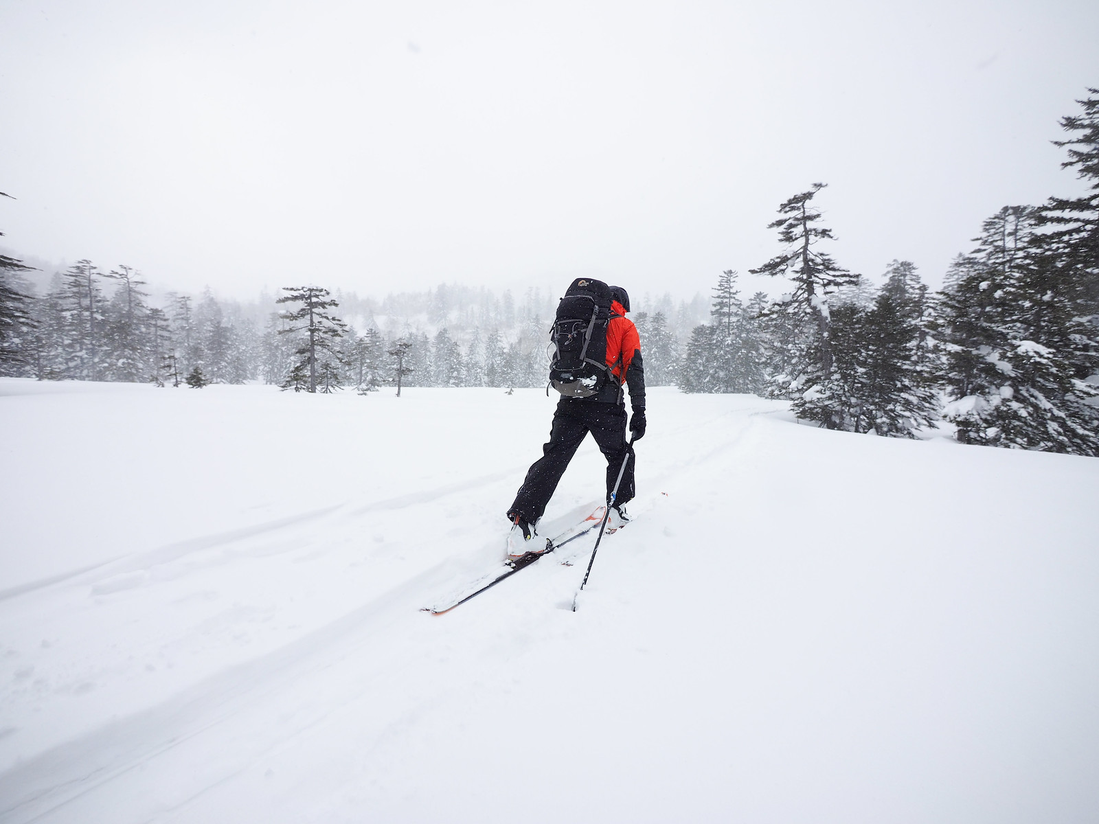
The first 5km or so is on the forestry road. This can be monotonous at times, but the surrounding forest is really quite beautiful.

Muine Hut ski touring (Sapporo City, Hokkaido, Japan)

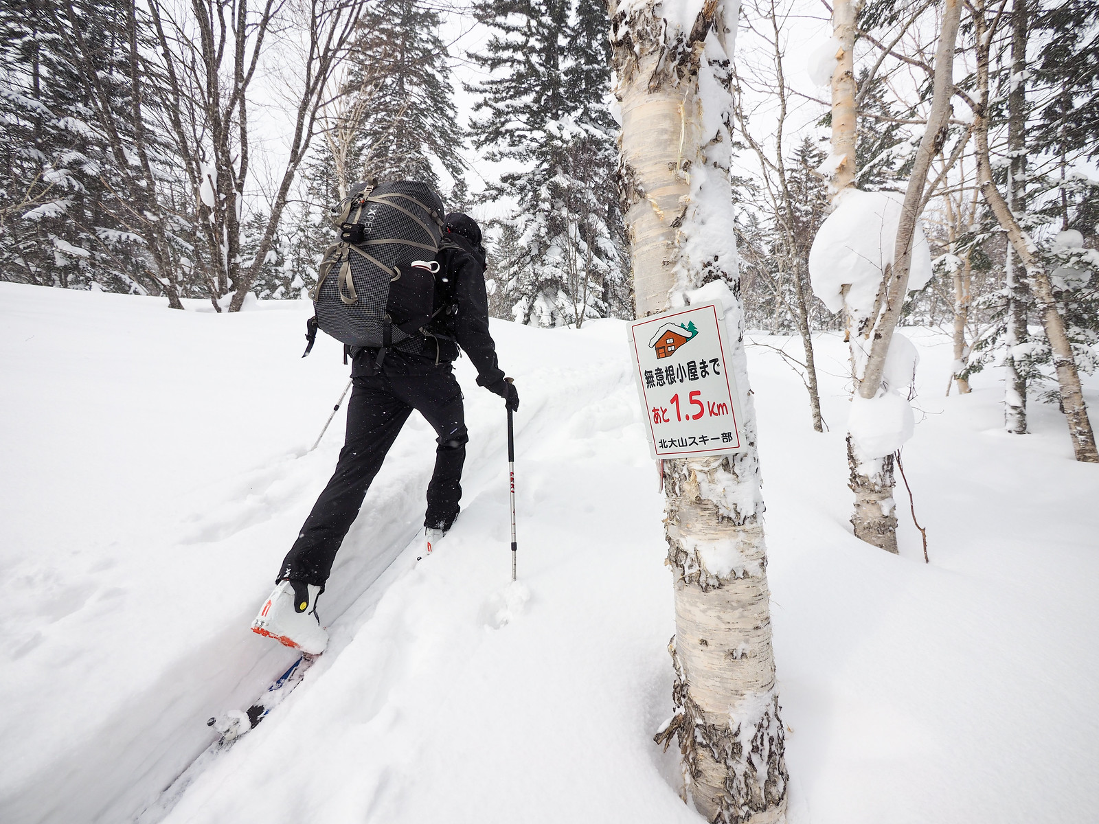
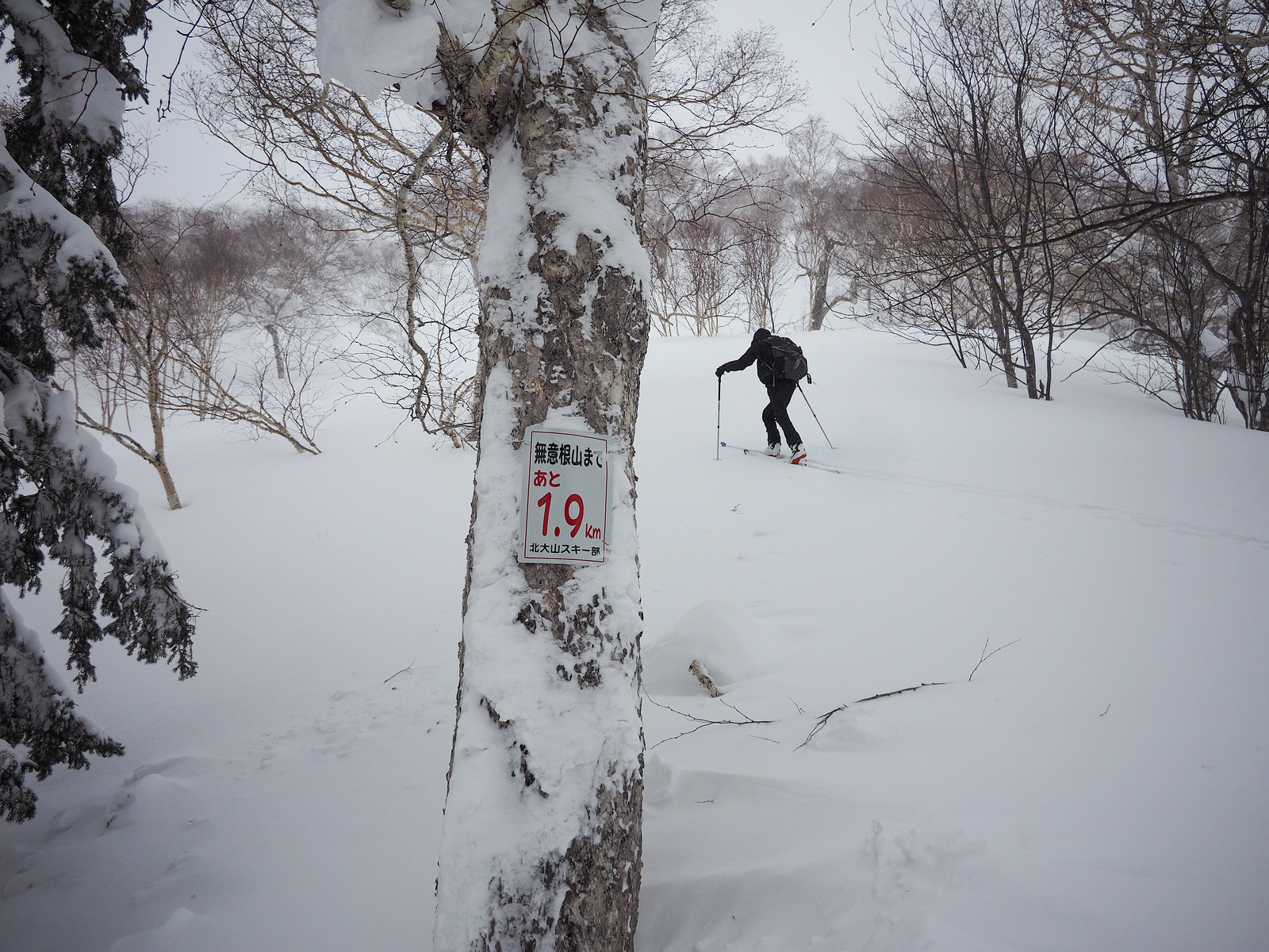
At around 800m on the forestry road, a walking track begins up towards the hut. We saw approximately one trail marker on this summer route through gorgeous forest.

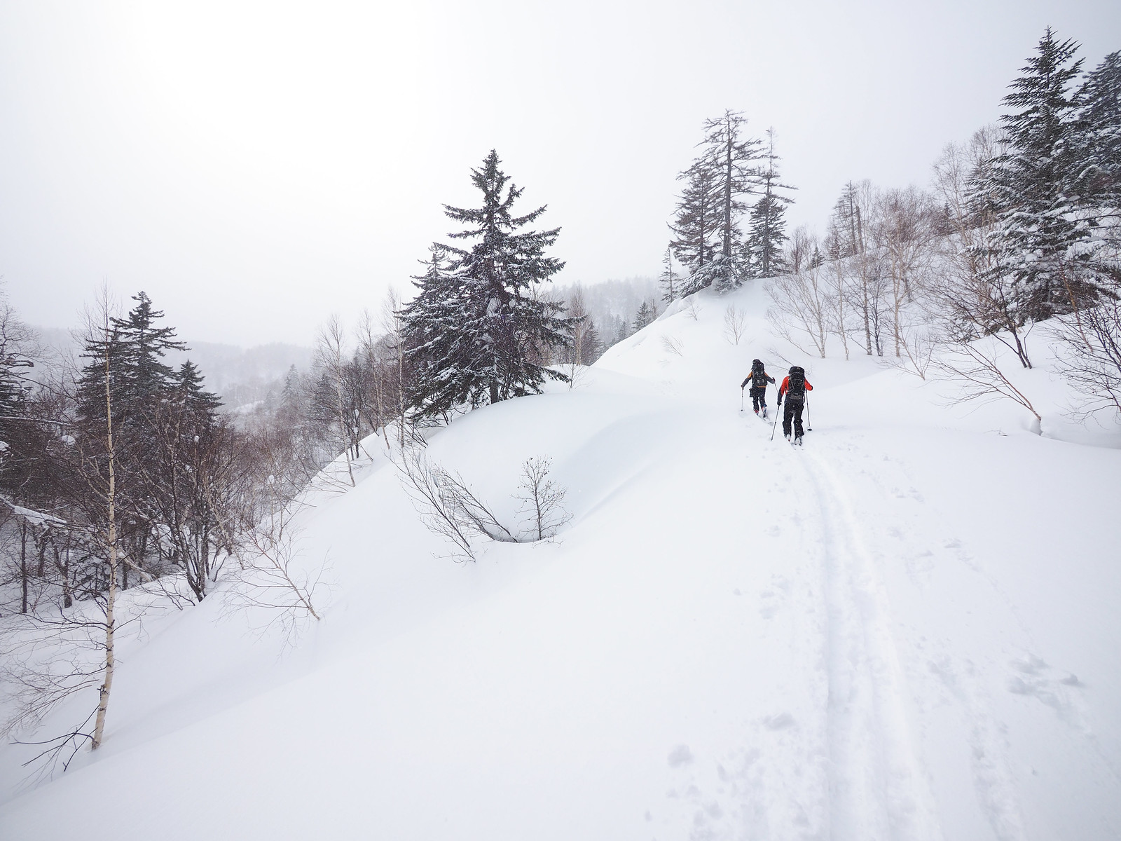
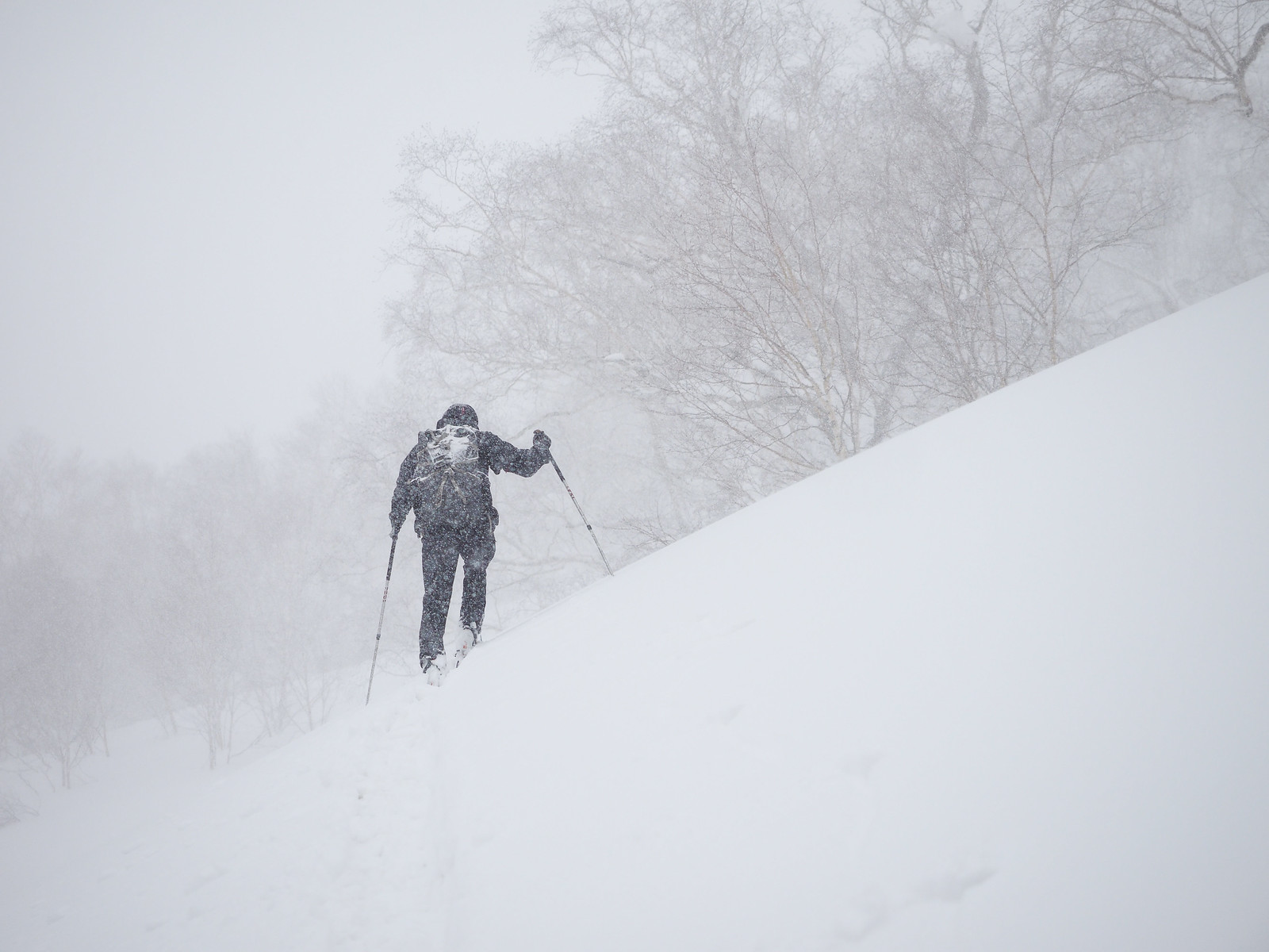
Just before the hut, the landscape opens up, and in good weather you would be greeted by a wall of the cliff-like slopes of Mt. Muine. We didn’t see much of this at all due to continuous snow.

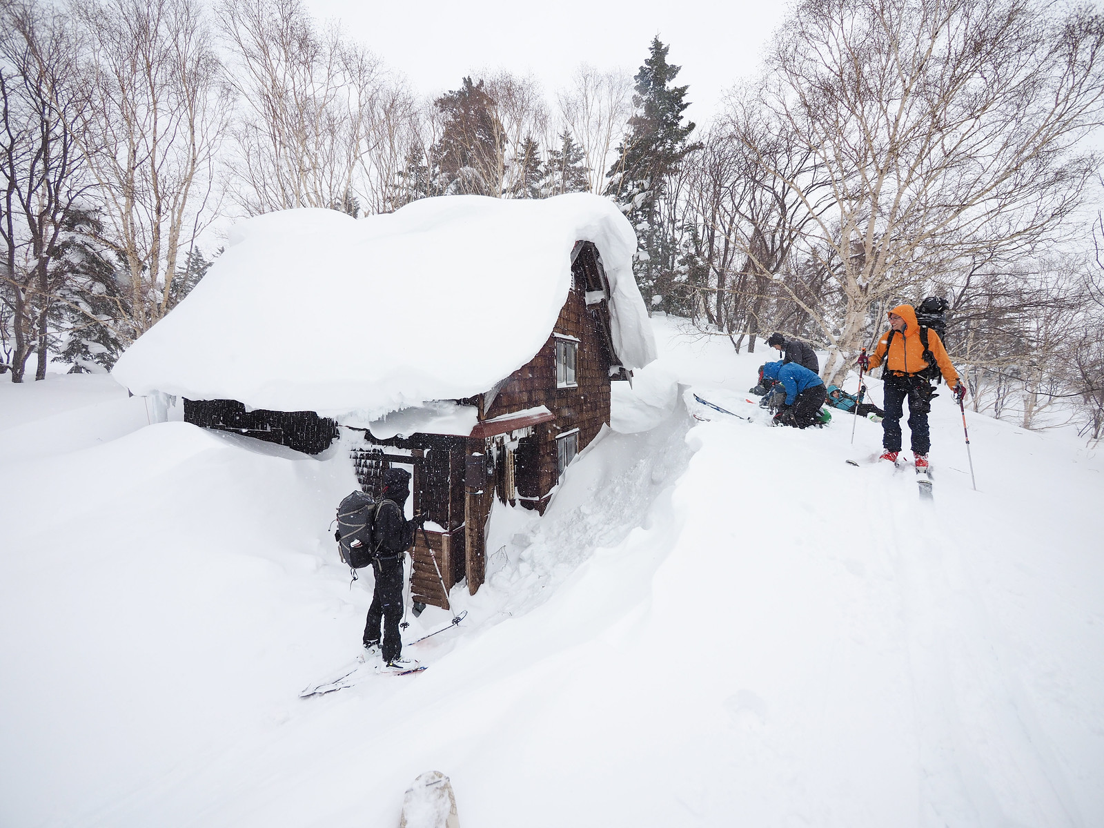
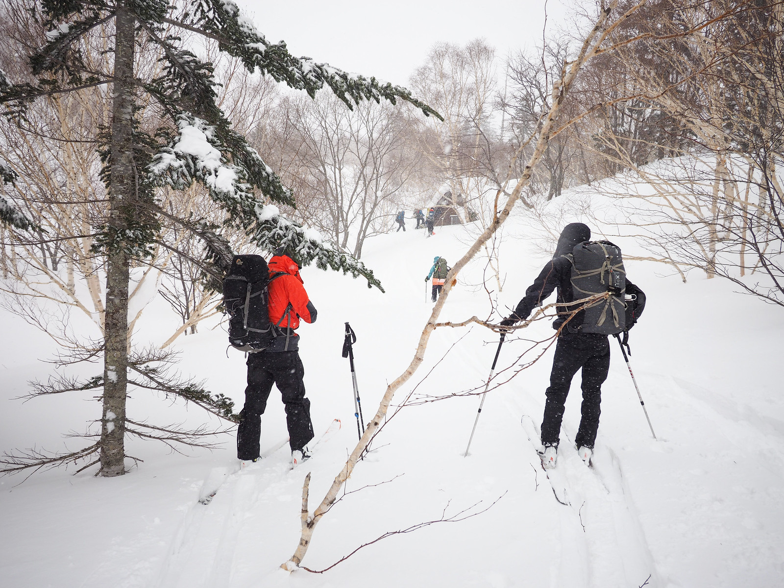
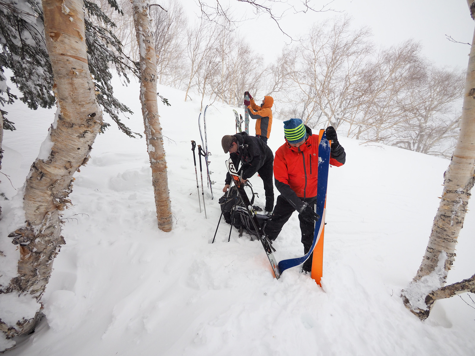
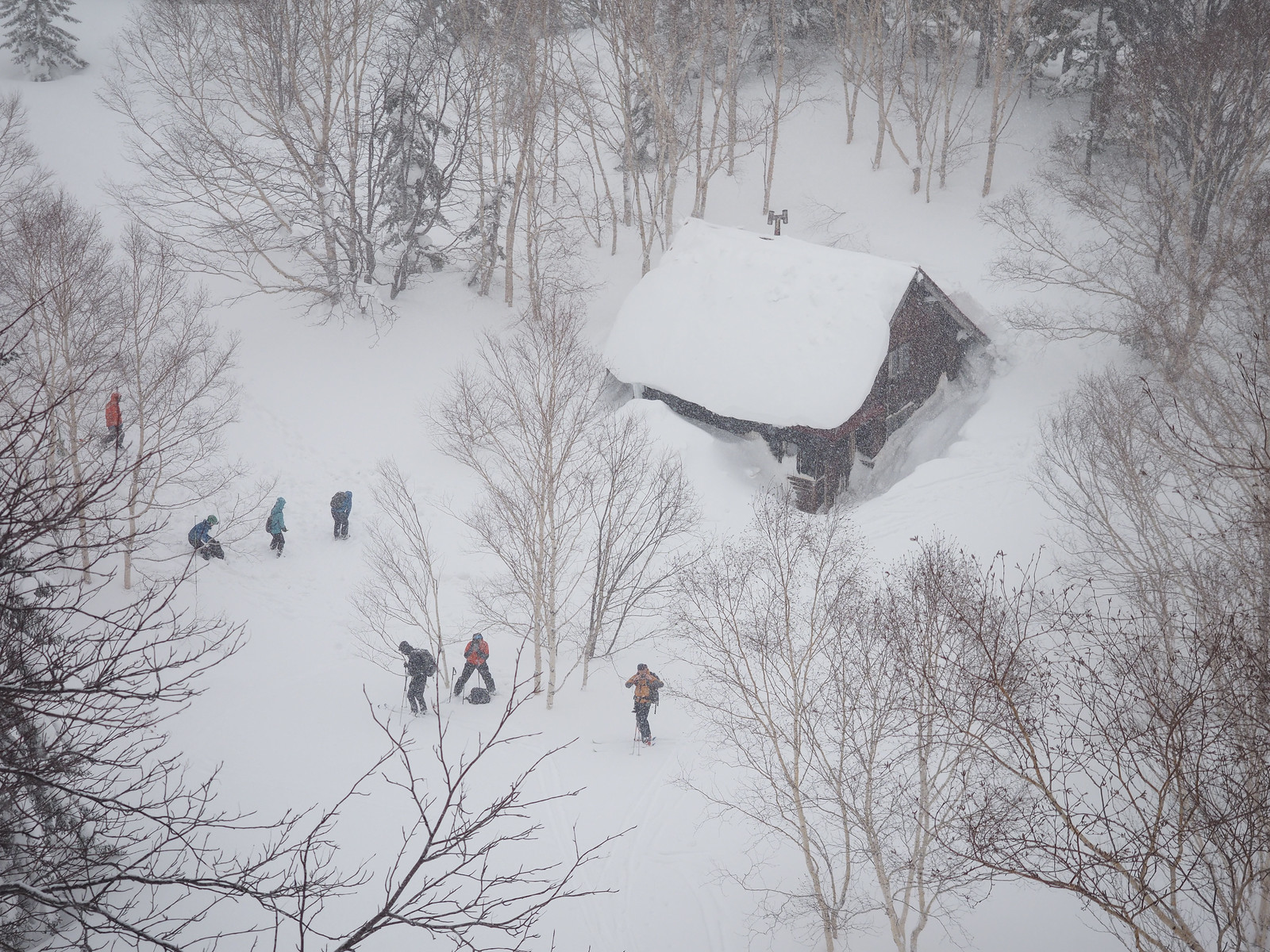
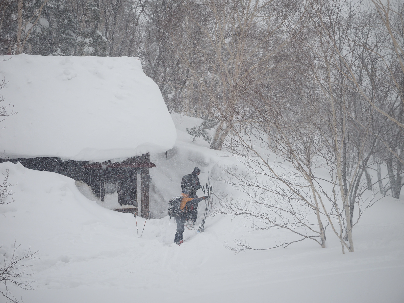
Just as we were making the last 50 meters or so approach to the hut, we caught up on the student group. We would later find out that they had set out at 5:30am from the trailhead, finally making it to the hut just under 7 hours later. It was now 12:15pm. So that’s three hours for our experienced ski touring group on a freshly laid skin track, and almost 7 hours for a group breaking trail with a couple of less-experienced (including one first-timer) members. As they say in Japan – otsukare-sama deshita (Great effort!).

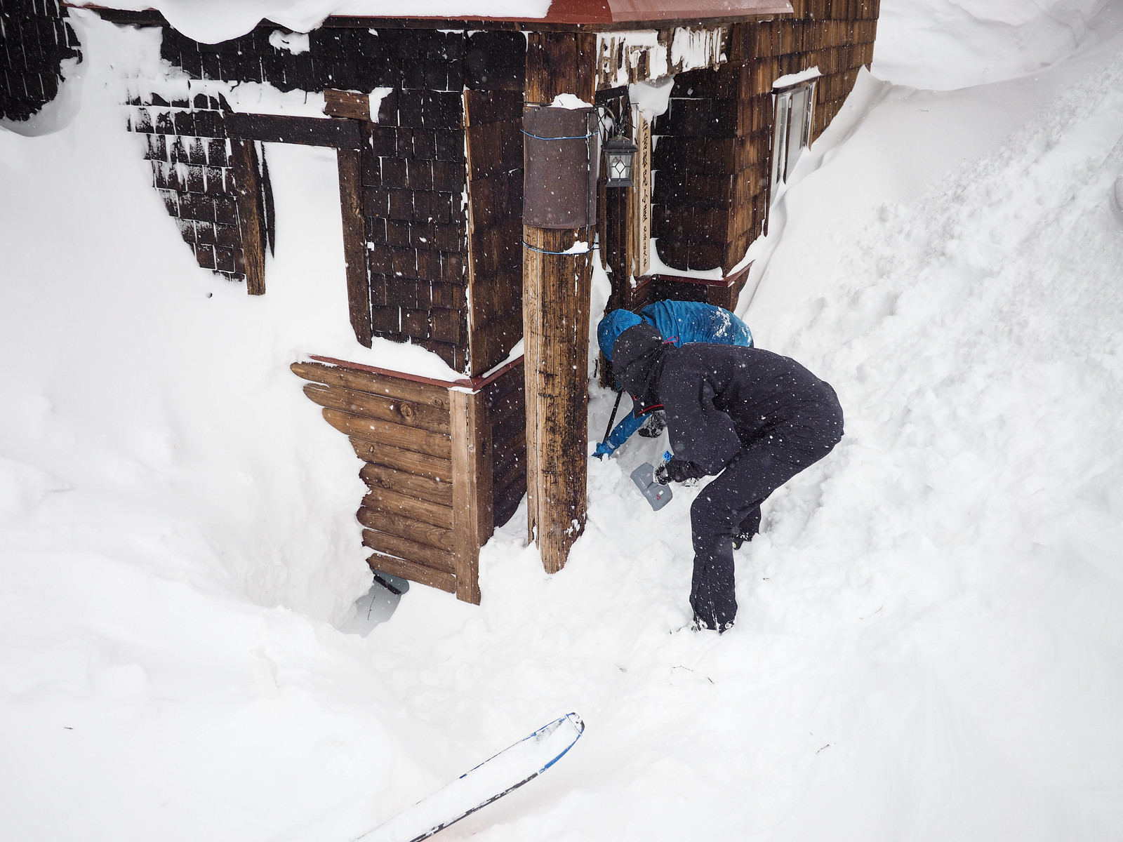
And with that they began furiously digging out the snow from the hut’s front door.

At this point, the hut’s roof was still covered in almost 2 meters of snow. It would not be until around noon the next day that the hut’s stove had heated the roof sufficiently for it all to slide off.

Muine Hut ski touring (Sapporo City, Hokkaido, Japan)

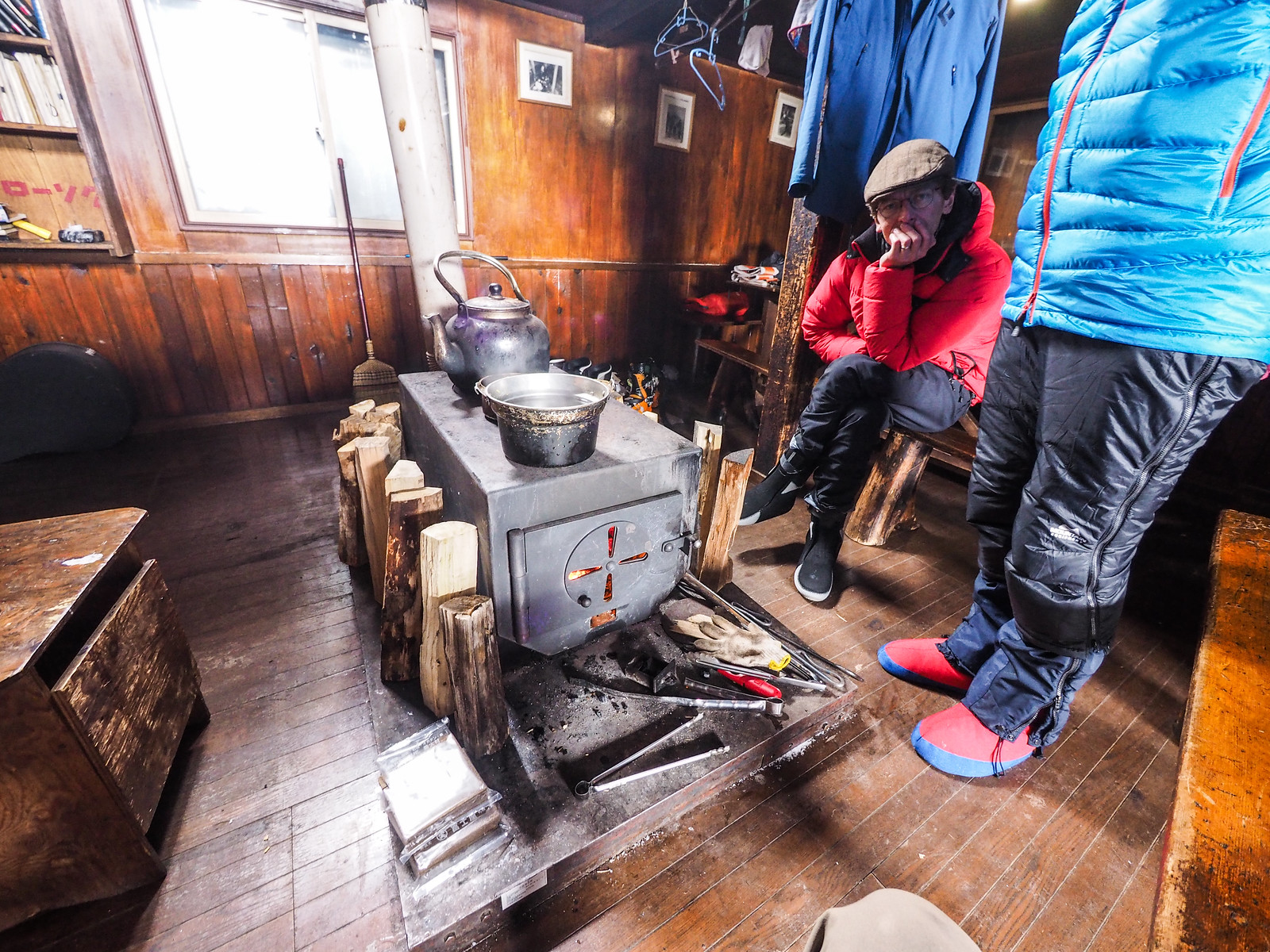
The students had the door clear soon enough, and we had our first glimpses inside this beautiful old hut. First impressions were that it was very much like the other Hokkaido University huts – a spacious, open, airy first floor with an opening up into the second floor sleeping area. Tidy and rustic. Lived in and loved.

We sat down and waited as one of the Ski Mountaineering Club students took on the responsibility of getting the fire going. Great plumes of smoke billowed out the door of the stove every time he put more wood on the fire. The large stove and long, double-bend chimney takes a while to heat up and create enough draw to such the smoke properly up the flue. A visit to Muine Hut will not leave visitors smelling like roses – think hickory smoke.

The Ski Mountaineering Club member assigned to the stove had a large bandage on his cheek. “Frostbite,” he said. “Four of us summitted Mt. Asahi last week, and three of us ended up with frostbite.”

We all gnawed on our pre-packed lunches, but finished still feeling hungry. Dom noted that we had enough shared food  for at least three meals (I have a habit of over-packing food), so we promptly made up a hearty soup to share.

Muine Hut ski touring (Sapporo City, Hokkaido, Japan)

This meal fortified us for an afternoon reconnaissance mission up the ridge leading to the main ridge of Mt. Muine. There is a large relatively flat area referred to at the Terrace (here). The weather did not look great, but we decided to head up towards there to check things out for tomorrow’s attempt at Mt. Muine. At the very least we’d get some fun downhill skiing in.

The winter route does not follow the summer trail up the very steep northern face of this approach ridge. That side of the ridge is in the lee of the prevailing wind, and is very high avalanche-risk terrain, as we’d find out the following day. Approaching the Terrace from the east, however, is a very pleasant climb up.

We made it up to about 1,200m on this ridge, just shy of where the Terrace flattens out, before we decided to head back down. It was just after 3:30pm, and some more mist was rolling in along with the snow. The downhill was great fun on relatively good snow given the warmer temperatures.

Muine Hut ski touring (Sapporo City, Hokkaido, Japan)

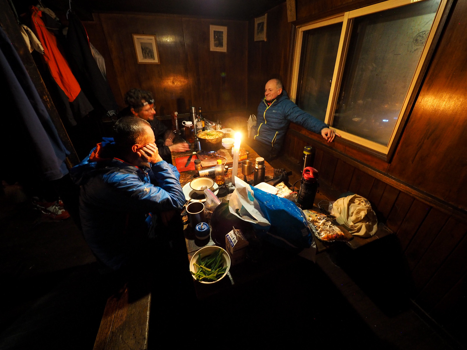
Back at the hut, the club members had warmed the hut up fantastically. In terms of warm cosy-ness, I would put the Muine Hut on par with Mt. Haruka’s Ginreiso Hut (Ginreiso Hut guide here).

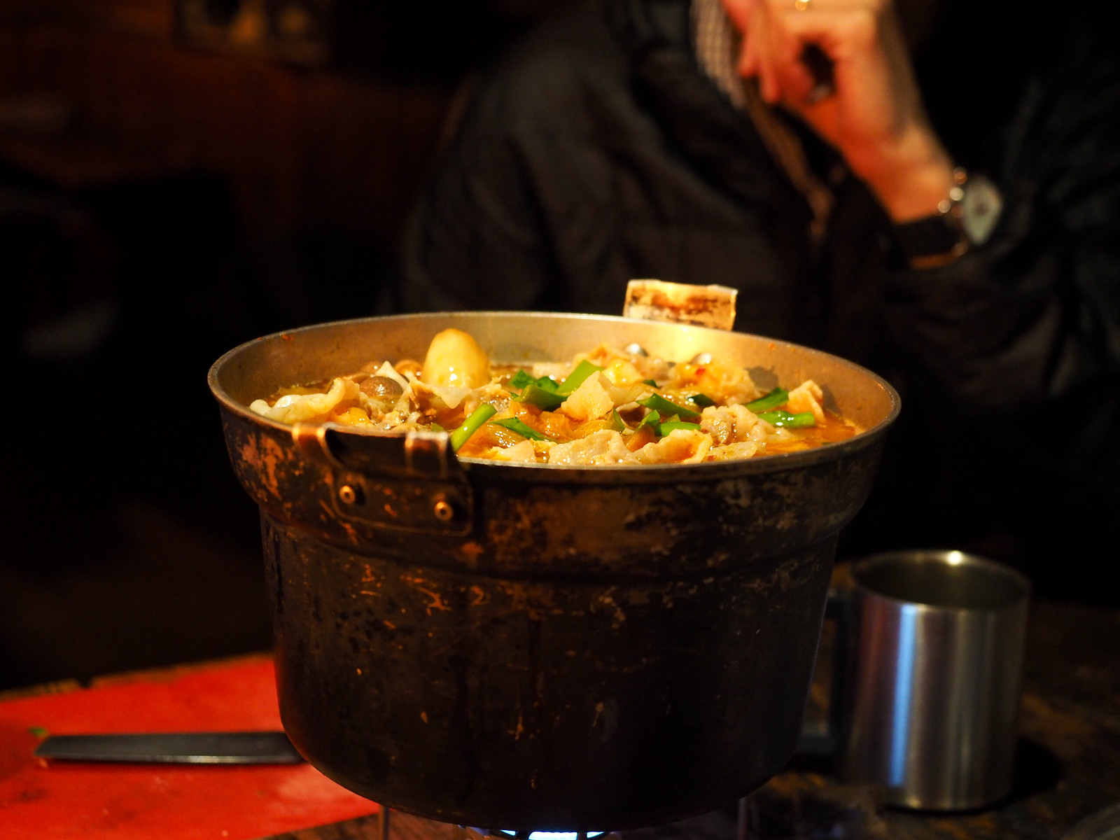
On the menu for us for dinner was kimchi nabe. Slices of pork are sauteed in sesame oil along with kimchi, and these are then added to a chicken-broth hotpot of vegetables, mushrooms and tofu. More kimchisauce is added to boost the flavour. Pure bliss!

Having a meal at the Mt. Muine hut in Hokkaido, Japan
Image by Rick Siddle
Muine Hut ski touring (Sapporo City, Hokkaido, Japan)

That night we slept well on the second floor of the hut. 6am came around rather quickly, probably extra quickly for the first-year club member. She had missed the December bivouac training, so had to complete it last night. This consisted of digging a snow cave and staying there until midnight. In the morning she seemed to be in good spirits despite the late and uncomfortable start to the night.

After a breakfast of porridge, we headed out again towards the Terrace, hoping to get some OK weather to try to get to the summit of Mt. Muine.

Alas however it was not to be. It was snowing a damp snow and blowing a strong wind up on the terrace, so we decided to do a few laps of the Terrace slopes before heading back to the hut.

Skiing up Mt. Muine on a backcountry skiing trip in Hokkaido, Japan
Image by Rick Siddle
Muine Hut ski touring (Sapporo City, Hokkaido, Japan)

The first run down was on the broad, mellow southern face of the Terrace ridge. We then skinned back up to try out the steeper eastern slopes of the ridge. The slope angle heatmap on my AlpineQuest GPS Hiking app on my smartphone was glowing bright red for those slopes – well over 30 degrees in angle.

Quentin did a hard turn near the top of the slope and pushed some sluff down the slope, which quickly gained momentum and mass. It sped down the hill as a small avalanche. We promptly abandoned the idea of skiing the steeper parts of the eastern face, and dropped down somewhere less steep.

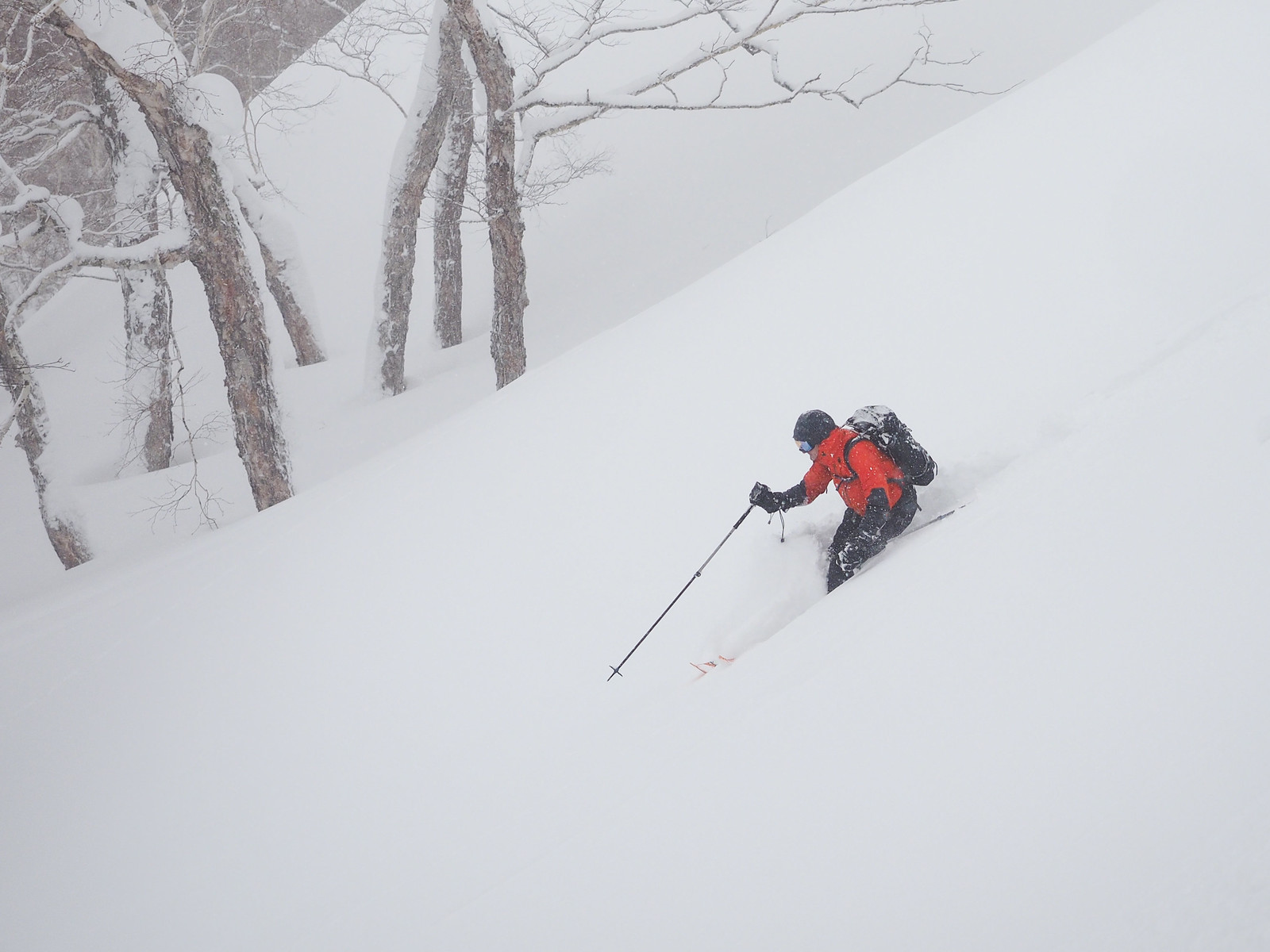
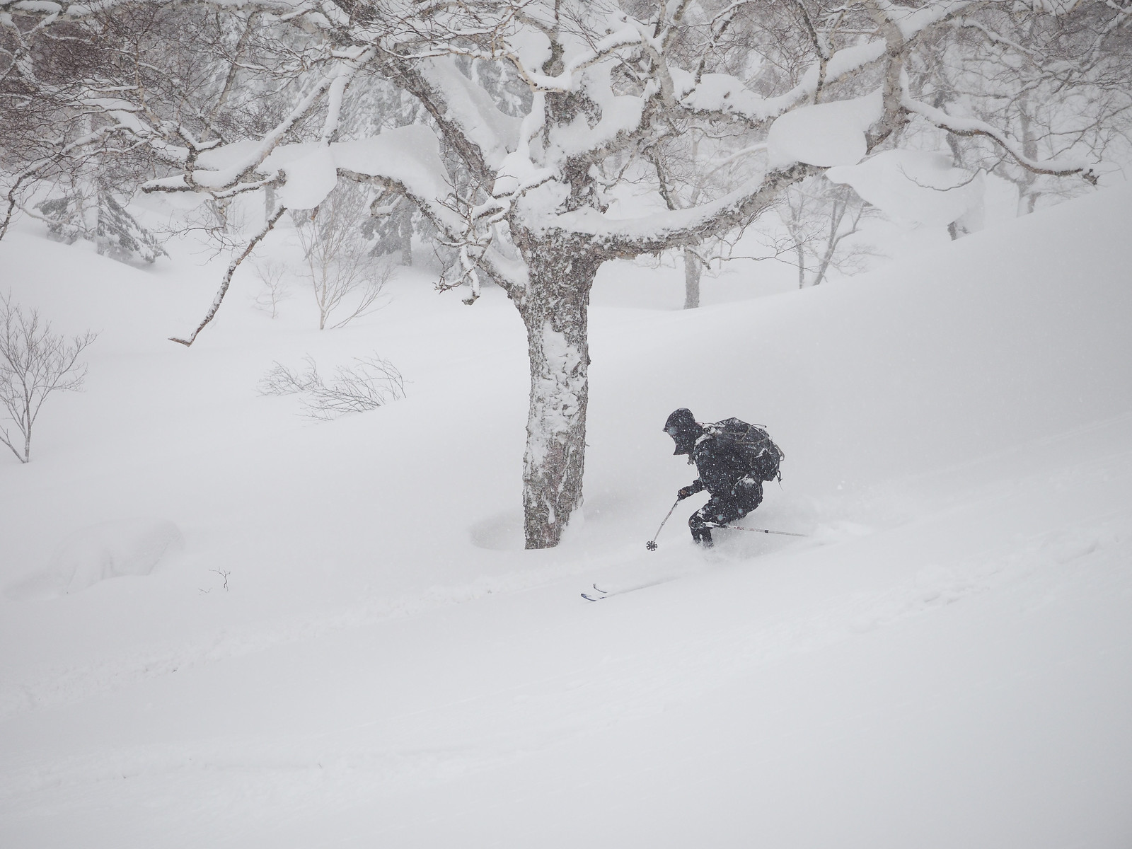
Despite the warm temperatures and quick-to-melt snow that was falling, the downhill was great fun.

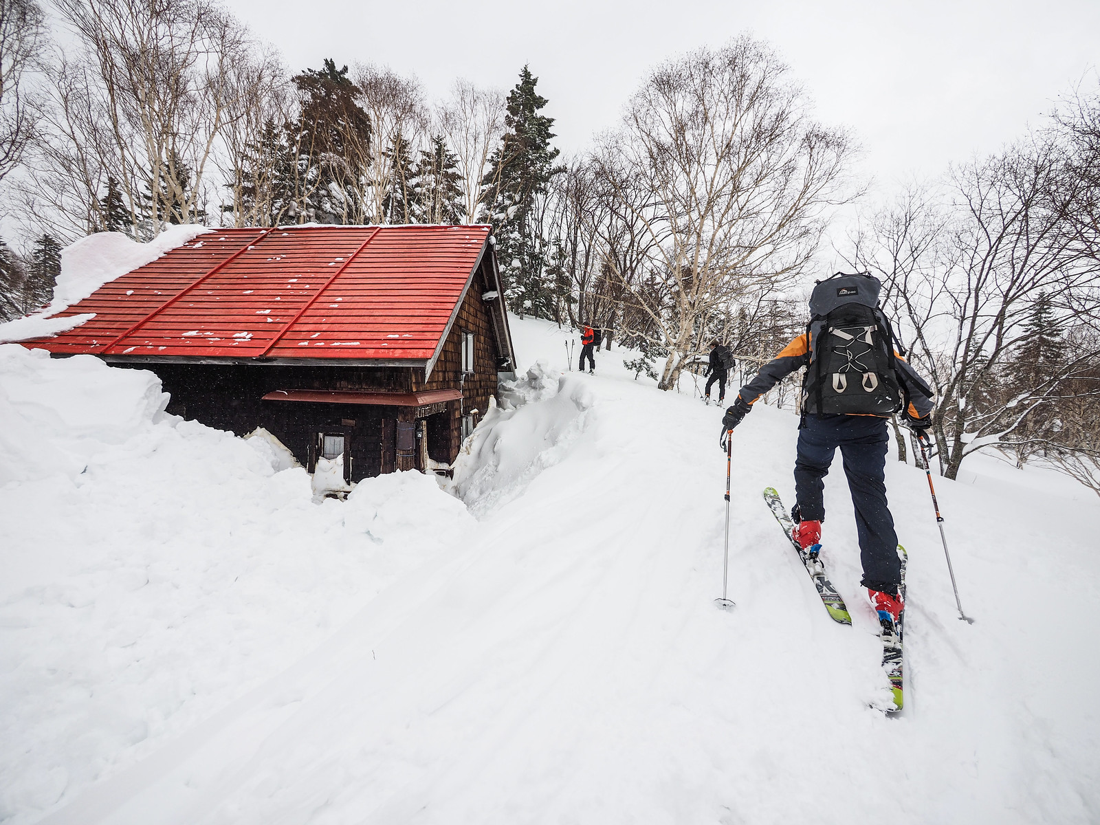
Our scouting of the area the day before had also told us about a nice little slope directly in front of the hut. Quentin lined it up perfectly for the perfect ski-to-the-hut photo perfection.

Muine Hut ski touring (Sapporo City, Hokkaido, Japan)

Back at the hut, the Ski Mountaineering Club members were doing avalanche rescue drills outside. We let ourselves back into the warm hut for some lunch before heading back down the trail and forestry road to the car.

As we were having lunch, the whole hut shook as the snow on the roof finally slid off. The club members had been hoping it would slide off after they had worked on it yesterday, removing the snow from the ridge of the roof.

The snow left in its wake a beautiful red roof. Far too photogenic for words.

Muine Hut ski touring (Sapporo City, Hokkaido, Japan)

While the way up for us had been a piece of cake because of the students’ fine work at breaking trail, we were the first down the trail on the way home. This meant we were mostly breaking trail along what felt to be a much flatter trail than on the way up. There was not much free sliding for the person at the front.

All told it took us 2 hours to ski back down to the car. We were all very much ready for an onsen at the Hoheikyo Onsen – Quentin and Dom’s first onsen experience. I could tell by their faces that their definition of apres ski will forever be different now they’ve tasted how apres ski really should be 🙂

Thanks Rick, Quentin and Dom for coming along for a bit of a fact-finding trip up to the Muine Hut. It was a blast!

Comments | Queries | Reports

Done this route to Muine-yama, or others nearby? Thinking of doing it? Please post any feedback, reports, or queries here. Thanks!
Leave a Reply

Your email address will not be published. Required fields are marked *

This site uses Akismet to reduce spam. Learn how your comment data is processed.

See More Like this

Printable Muine-yama Topomap

TOPO DOWNLOAD (PDF, 1.5MB)

Download may take some time

Hokkaido Wilds Foundation

We’ve got affiliate links on HokkaidoWilds.org to help fund the Hokkaido Wilds foundation.

The Foundation gets a small commission on sales from affiliate links, but we only link to stuff we think is worth checking out for people keen on the outdoors in Hokkaido and Japan.

The Hokkaido Wilds Foundation is a fund where 100% of funds are donated to Hokkaido volunteer groups involved in sustainable, safe, and responsible access to the Hokkaido outdoors.

Learn more here

ADVANCED FILTERS

Filter by location

About Filters

REGION: The general mountain/geographical region the route is in.

BEST MONTH(S): Time of year a route is suited to visiting. Some pop all season, some are more limited.

DIFFICULTY: How strenuous a route is, and how technical it is. Full details here.

FREERIDE/SKITOUR: Very subjective, but is a route more-of-a-walk-than-a-ski or the other way around? Some routes are all about the screaming downhill (freeride), some are more about the hunt for a peak or nice forest (ski-tour). Some are in between. 

MAIN ASPECT: Which cardinal direction the primary consequential slope is facing, that you might encounter on the route. More details here.

ROUTE TAGS: An eclectic picking of other categories that routes might belong to.

SEARCH BY LOCATION: You can find routes near your current location – just click on the crosshairs (). You may need to give permission to HokkaidoWilds.org to know your GPS location (don’t worry, we won’t track you). Or, type in a destination, such as Niseko or Sapporo or Asahikawa etc.

Please let us know how we can make it easier to narrow down your search. Contact Rob at rob@hokkaidowilds.org with your suggestions.

Muine-yama and Muine Hut Difficulty Rating

Category

Grade

Points

Strenuousness

Vertical Gain

A

40

Time ascending

A

10

Technicality

Altitude

A

10

Hazards

C

6

Navigation

B

12

Totals

78/100

GRADES range from A (very difficult) to D (easy). Hazards include exposure to avalanche and fall risk. More details here. Rating rubric adapted from Hokkaido Yukiyama Guidebook 北海道雪山ガイド.