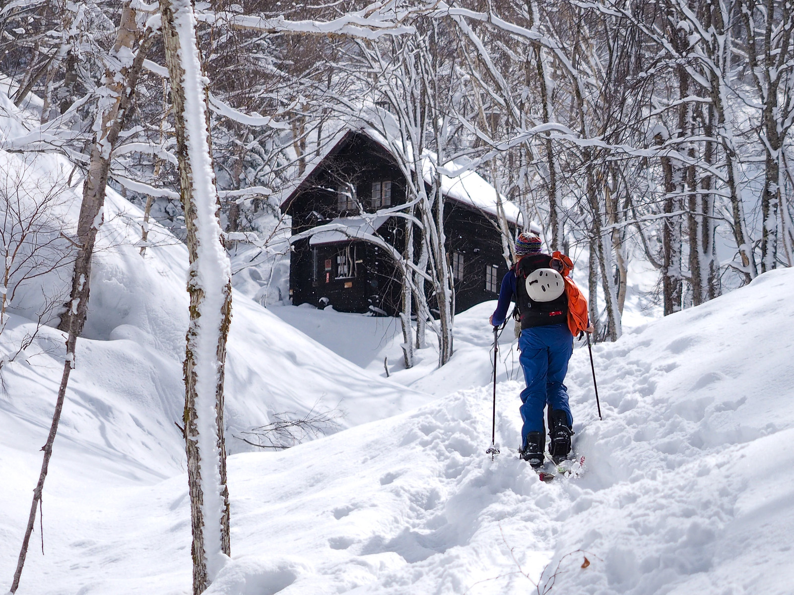
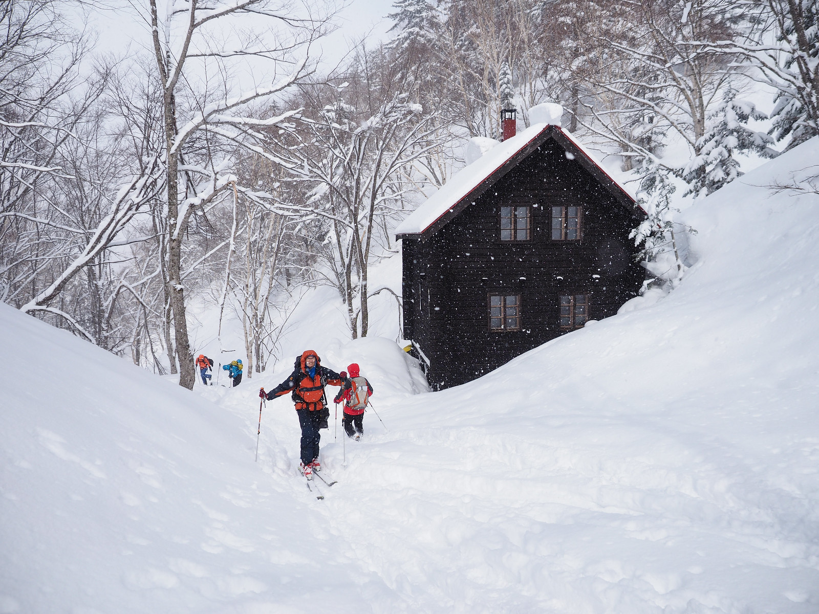
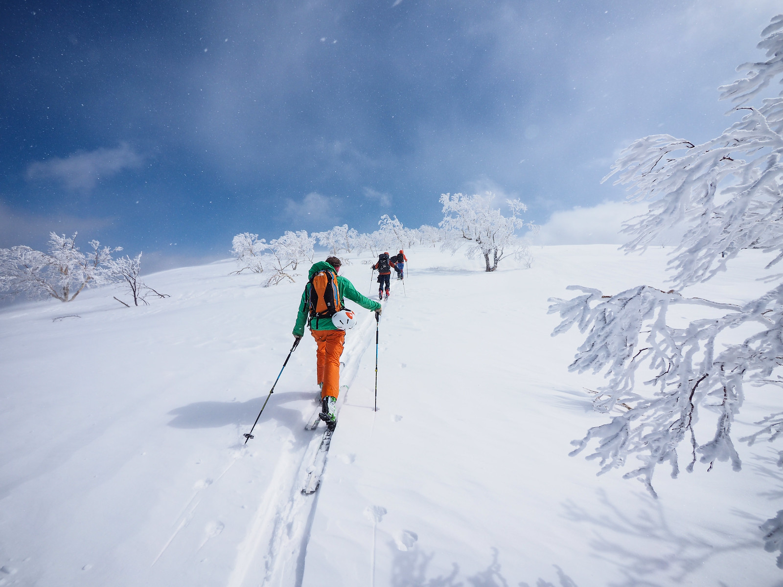
“Mt. Sapporo is a laid-back, fine-looking mountain that dominates the deeper reaches of the Jozankei hills. Since the old days it is well-liked as a ski touring destination, and is known for its large trees caked in ice along its ridgeline. Part way up the mountain is the Hiyamizu Hut – an oasis-like destination in the deep winter months. Staying at the hut is the purpose for many who visit Mt. Sapporo. This ski touring route follows the summer trail mostly, so to the hut there’s no worry of getting lost. The upper reaches of the route beyond the hut, however, bring with it risk of avalanche and getting disoriented, so care must be taken” (Translated from the Hokkaido Yuki-yama Guide (ISBN: 978-4894538047), p. 150).
I’d heard a number of less-than-glowing reports from the winter route up Mt. Sapporo, tucked into the hills in the upper Jozankei area of Sapporo City. They mostly focused on the narrow, gully-floor approach to the hut, and then the steep and tight scramble up to the wider head of the valley directly behind the hut.
What I hadn’t heard so much about, however, was the multitude of ski-slope options, on multiple aspects and differing steepness just a stone’s throw from the hut. “I’ve been skiing around the Niseko area and in central Hokkaido for the last two months,” said Chris and Ed, a couple of new friends who joined us for this trip to the hut. “But this is some of the most fun steeps we’ve skied in Hokkaido!”
Overall, despite the less-than-perfect snow conditions we had for this weekend’s visit to the Mt. Sapporo Hiyamizu Hut, I can see this area quickly becoming a favorite for backcountry skin touring close to Sapporo. If only the hut was open to use by the public more frequently than just every other weekend…
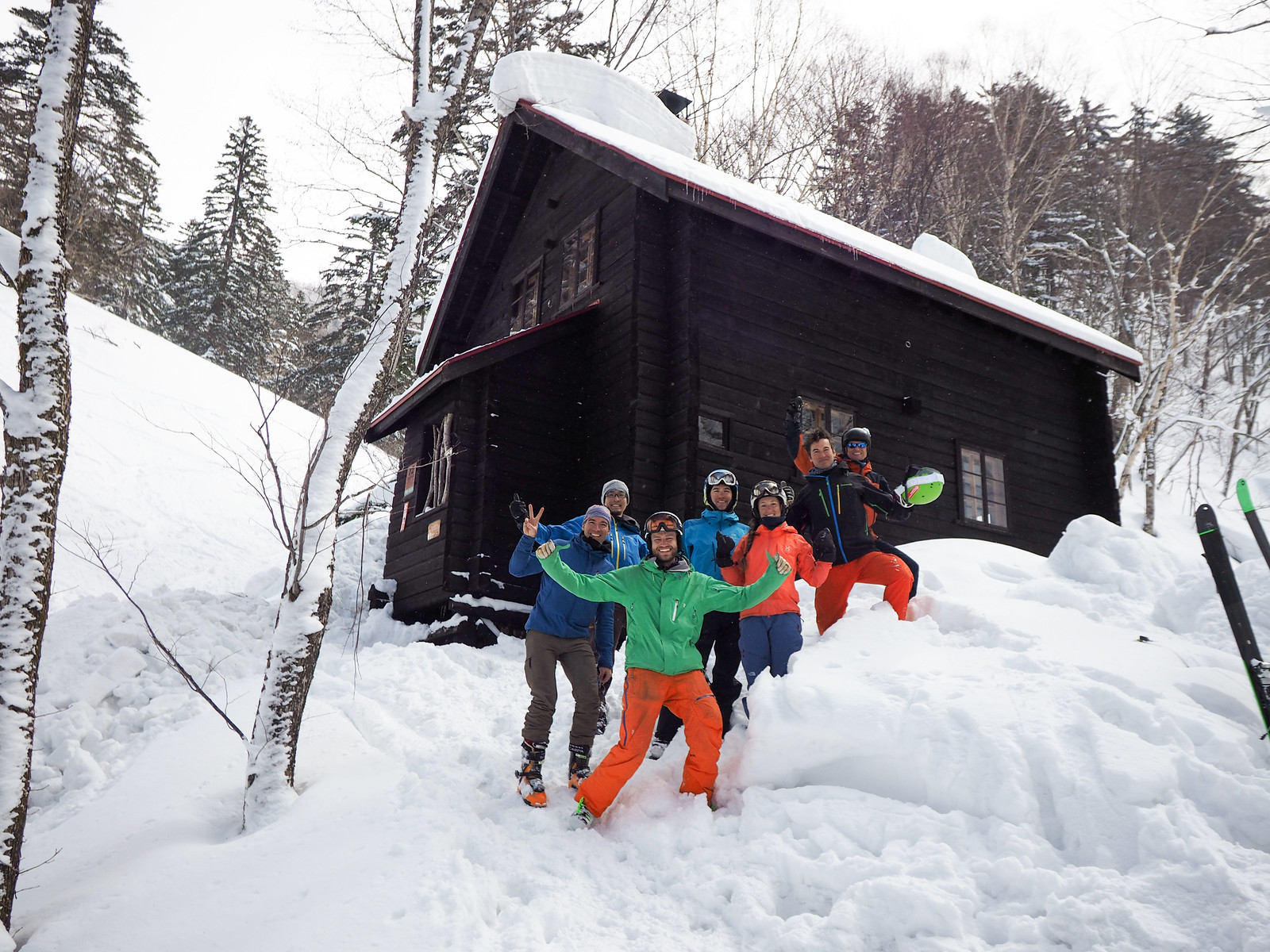
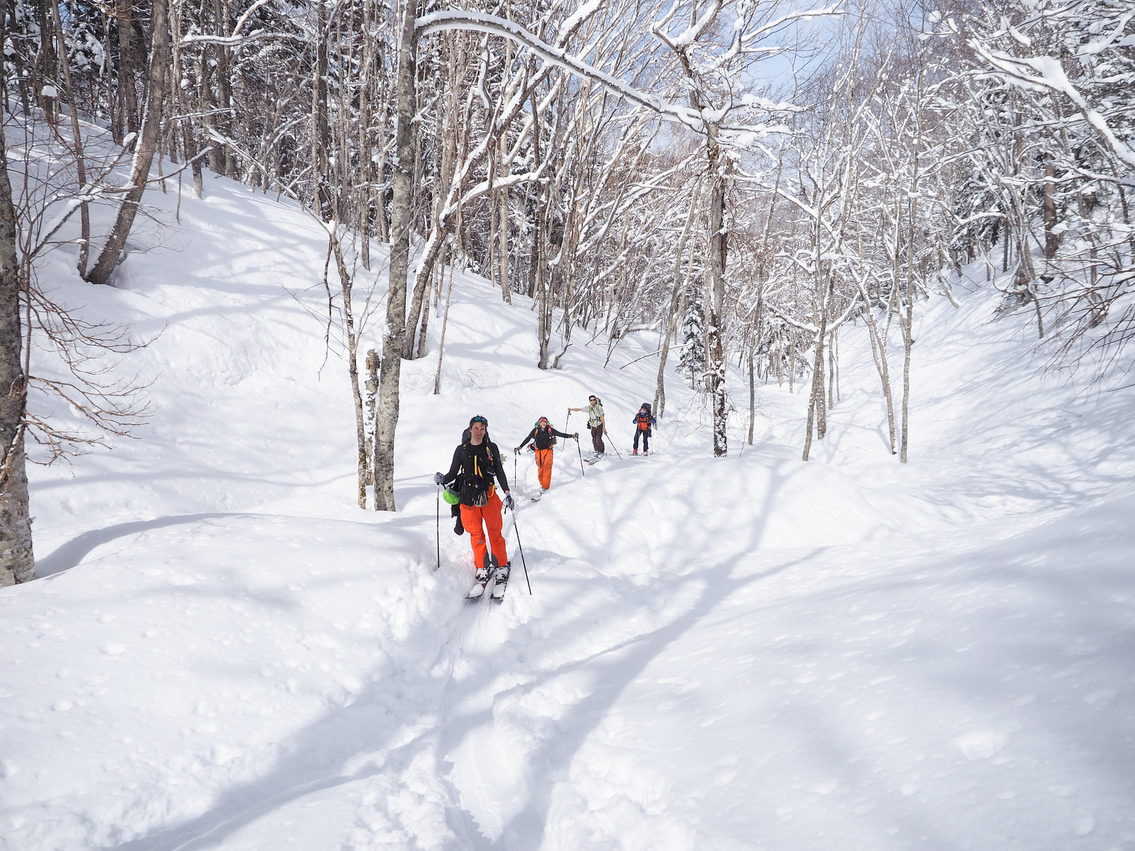
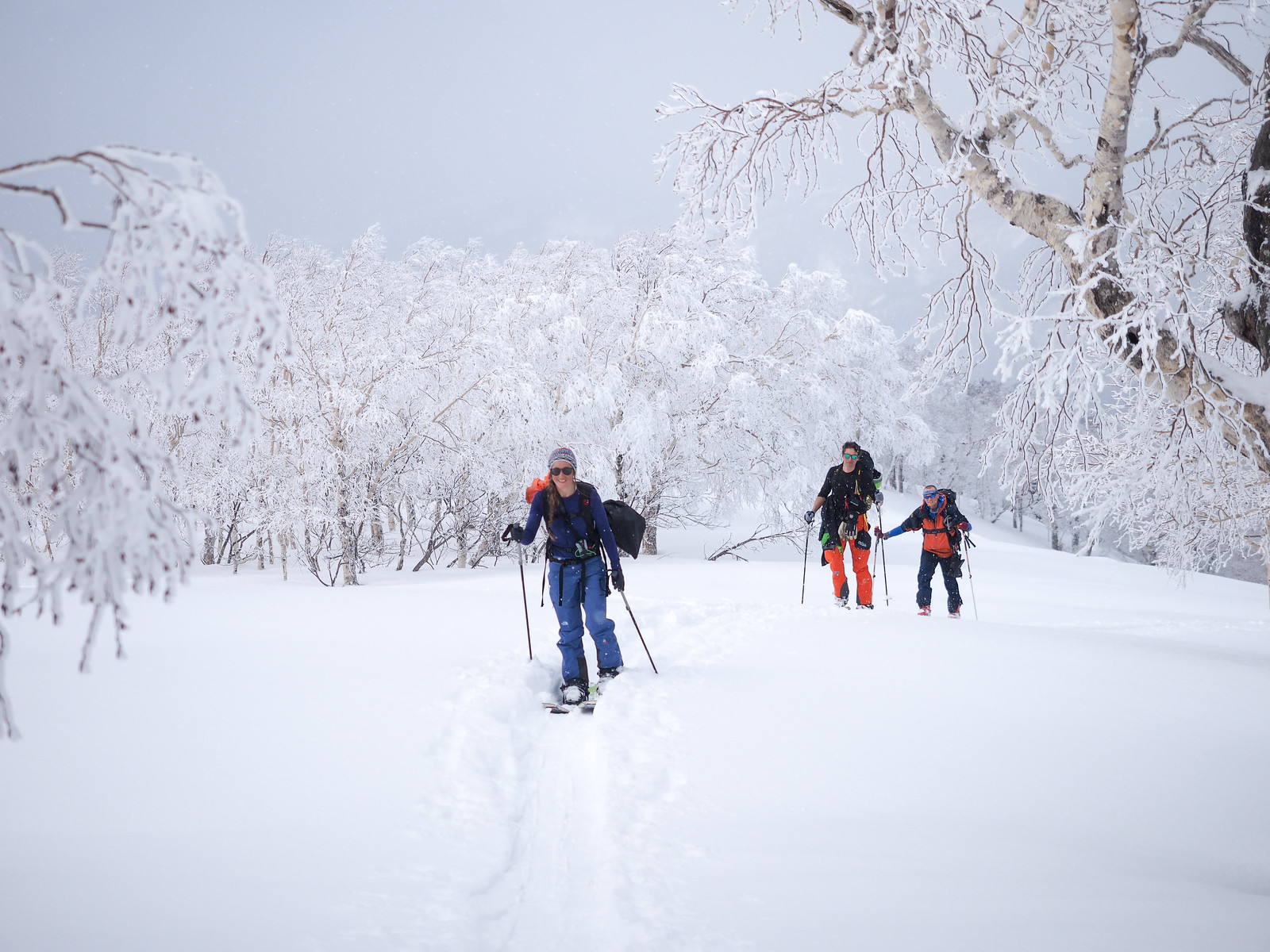
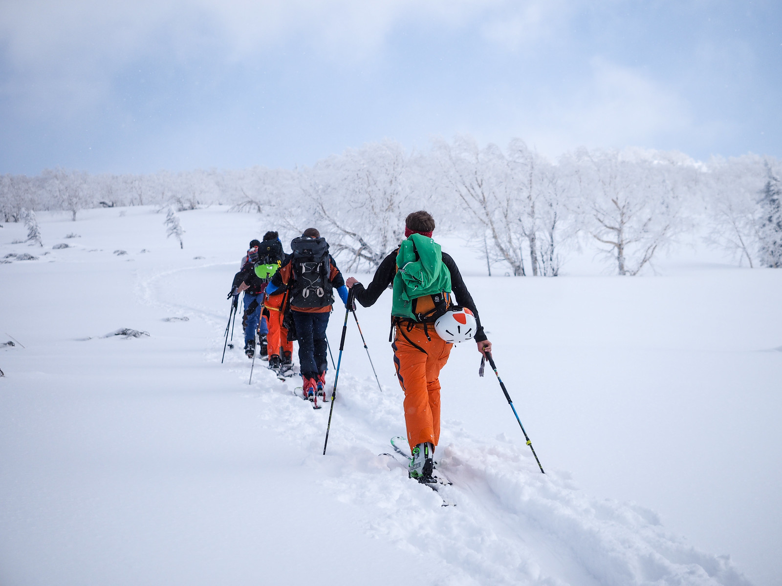
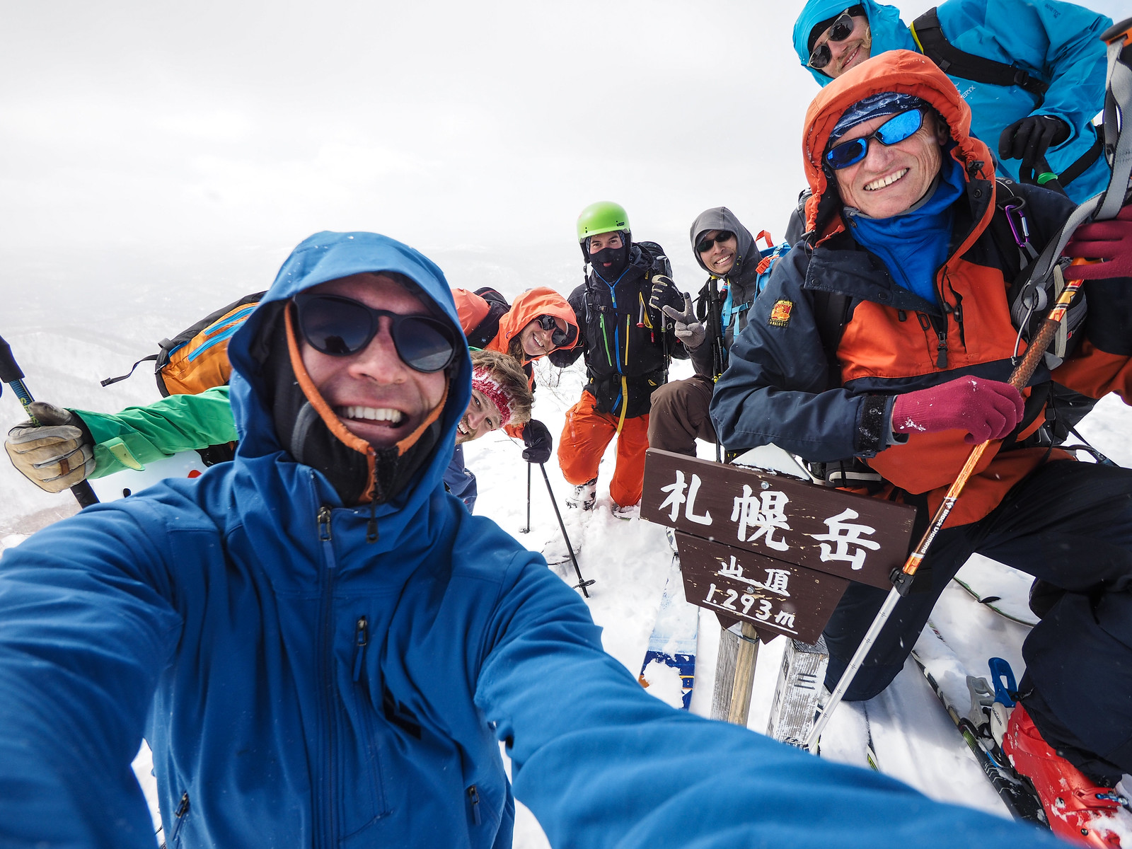
I’d not stayed at Hiyamizu Hut before, and it was high on my list of places to visit in the winter. Rick and Hiro, friends from Sapporo were keen to join, and then I got a message from Chris (from Sweden), saying that him and his friends Ed (UK), Isabella (Sweden), and Eric (Sweden) had spent most of the season in Niseko and were hoping to visit Okuteine Hut in the weekend (as per my route guide). He was asking for some more deatils about the hut, but I mentioned that I’d be going to Mt. Sapporo. So they all decided to join, and we had a merry group of seven.
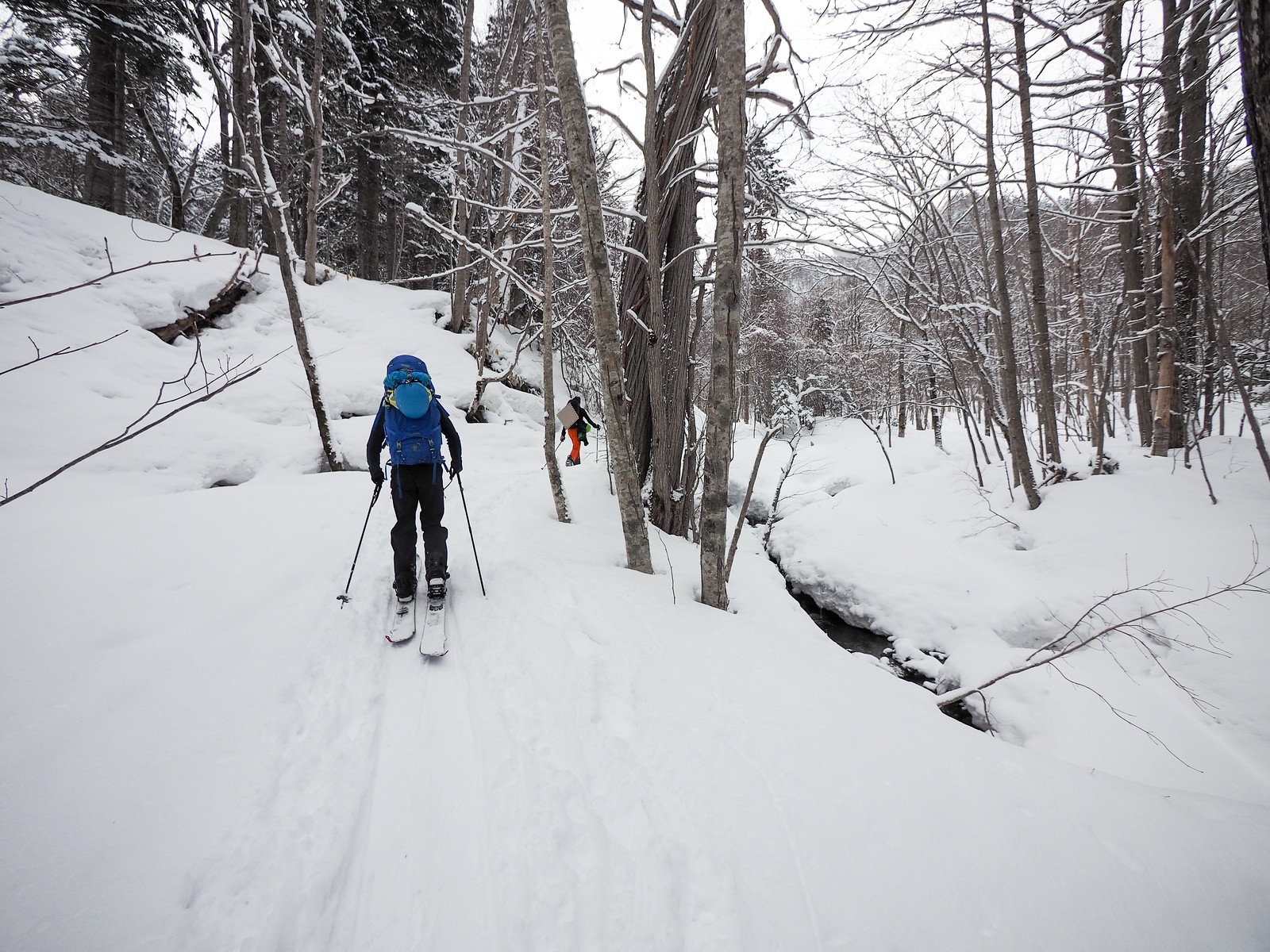
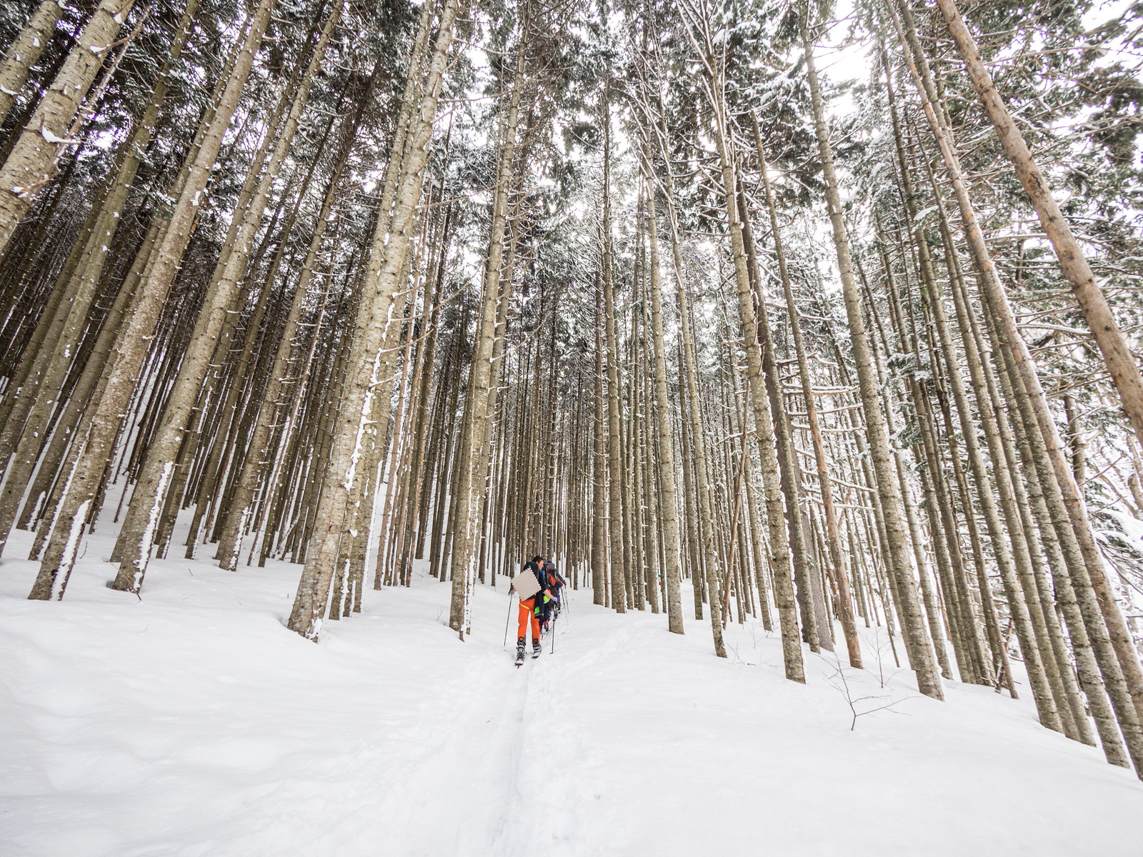
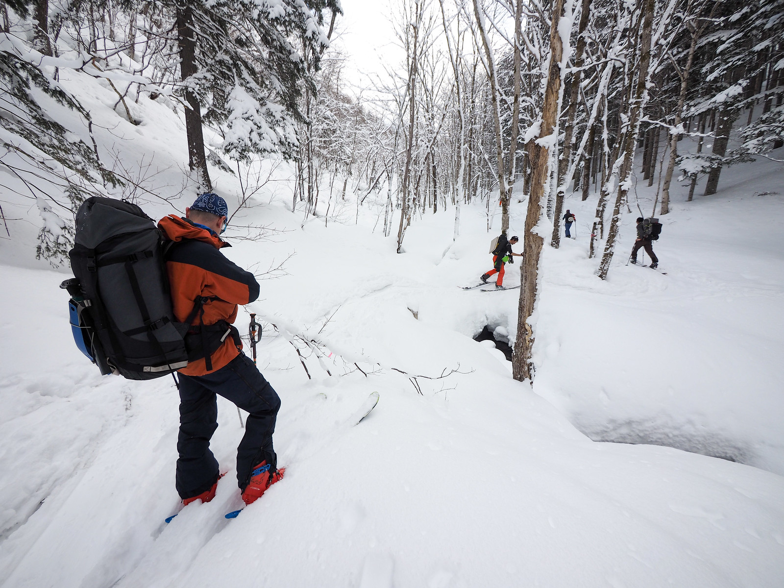
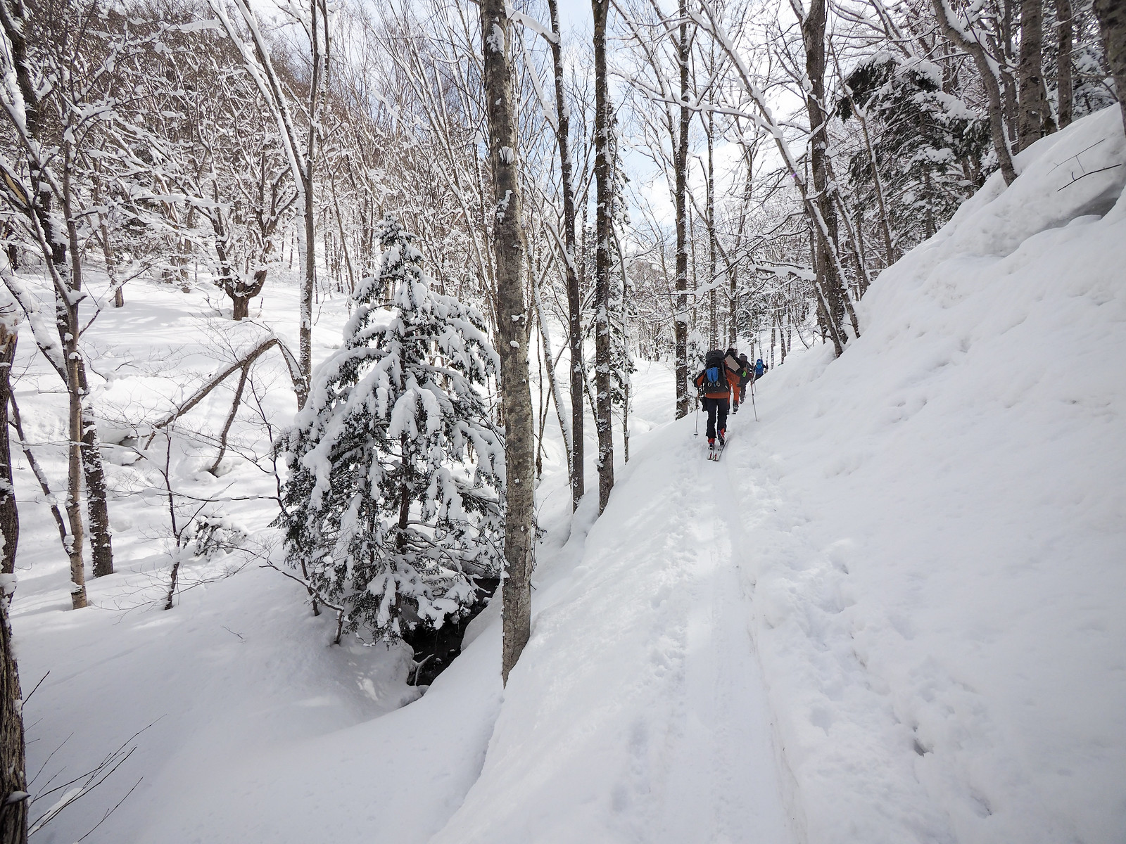
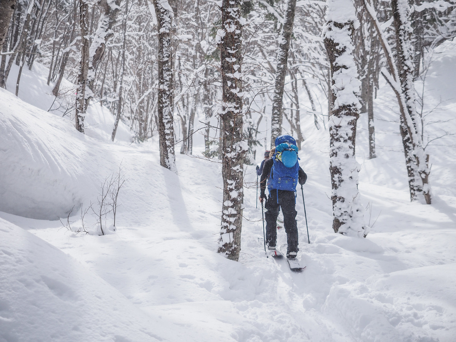
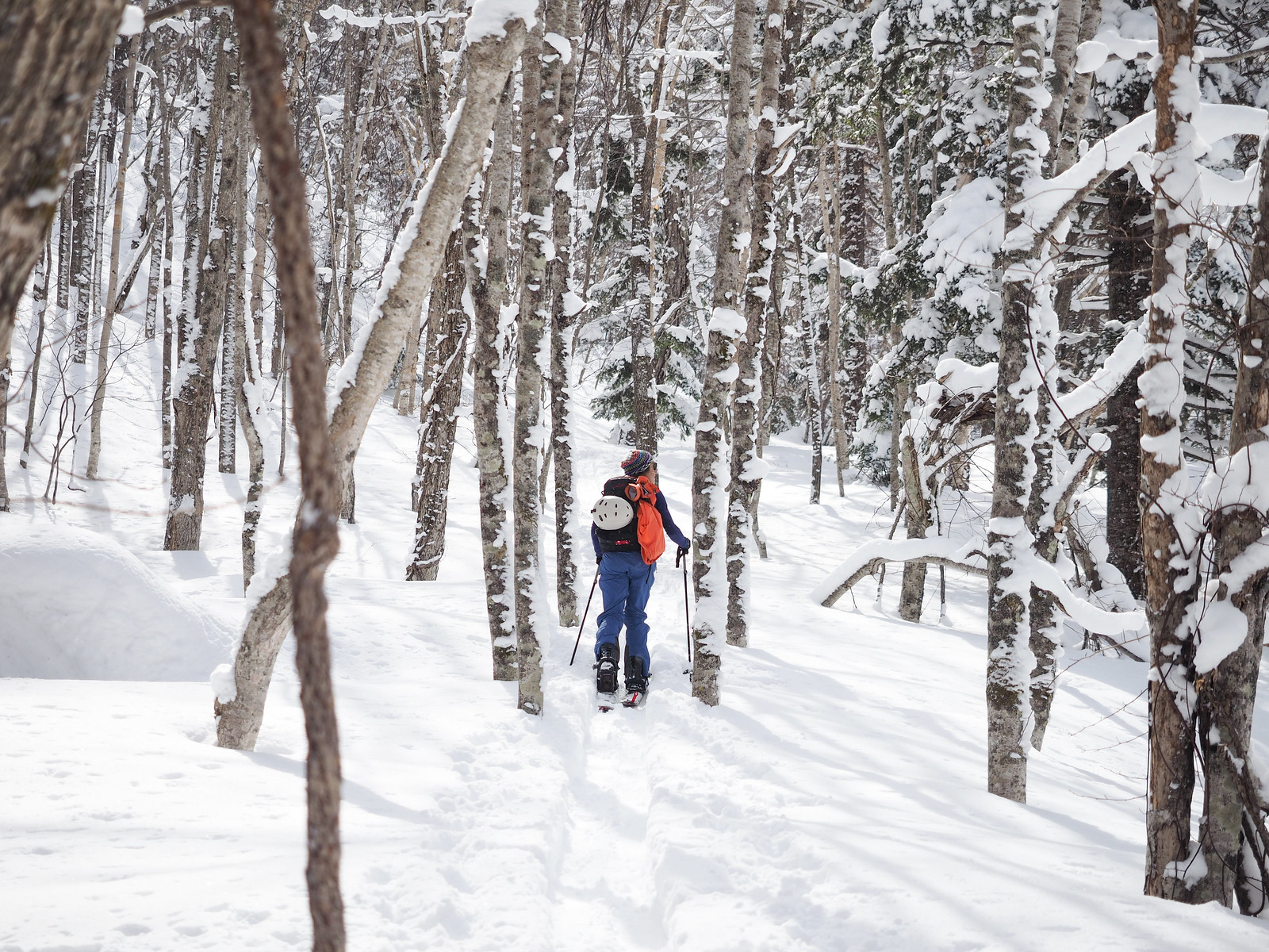
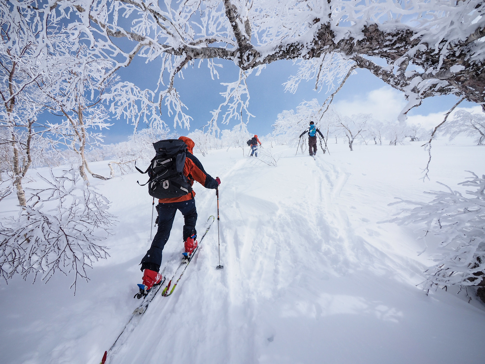
We started off at 9am from the trailhead (location), hoping to make the most of a forecast weather window that would hopefully give us some good visibility at the summit of Mt. Sapporo (Mt. Sapporo weather here). The route follows the Hiyamizu-sawa River (冷水沢川) through some scraggly forest at the beginning, quickly becoming more and more picturesque.
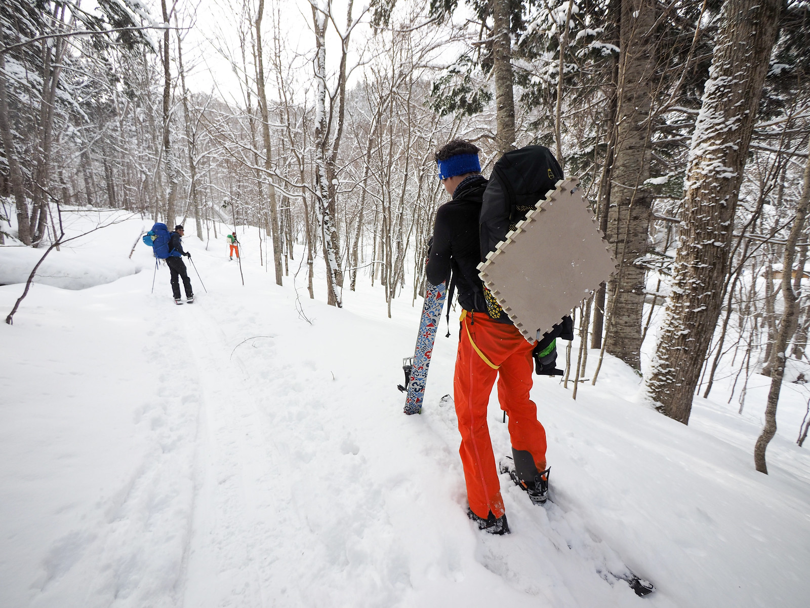
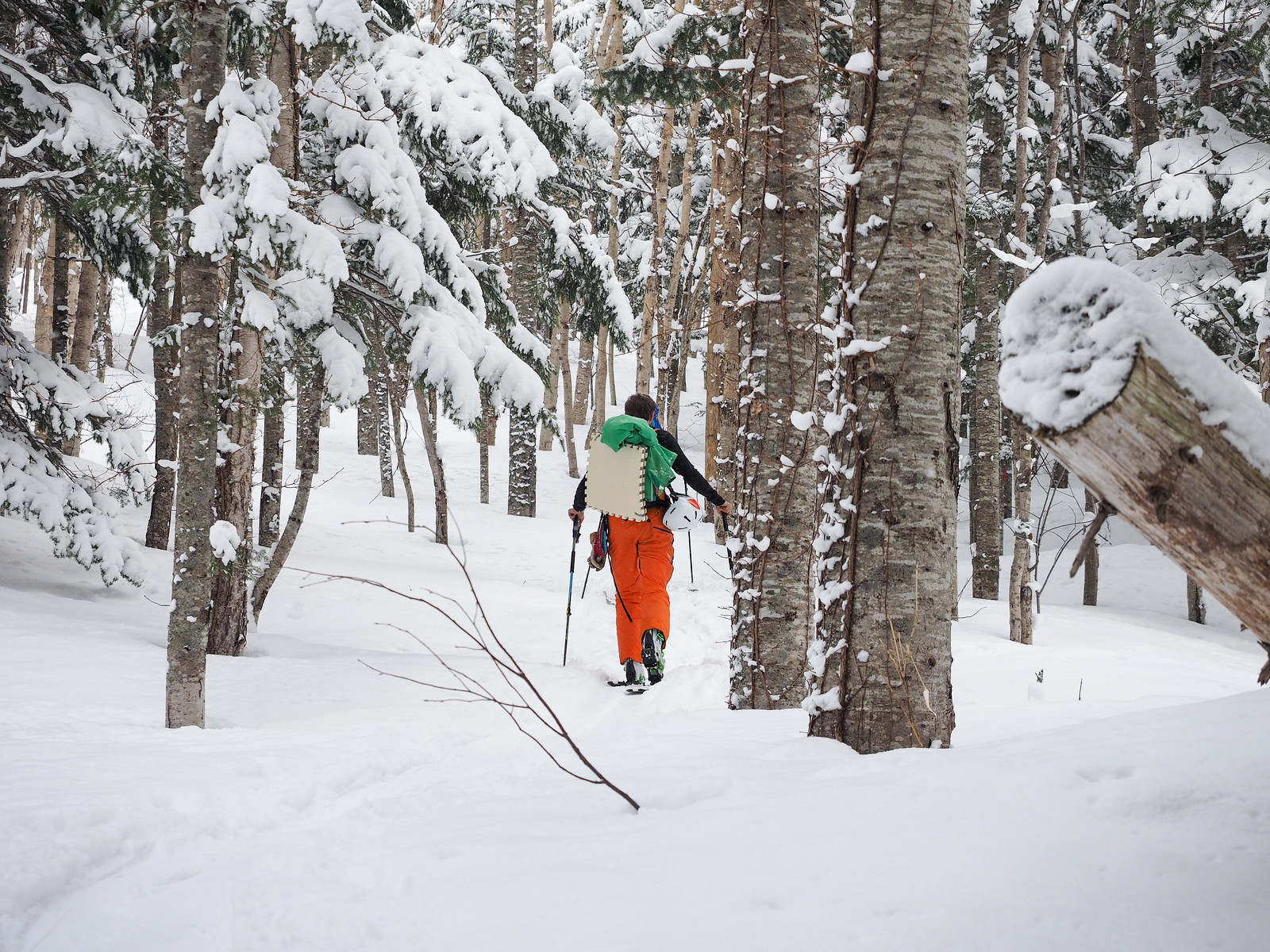
Chris and Ed had not originally planned to do any overnighters while in Japan on their skiing holiday, so had picked up some cheap and large foam flooring tiles to act as sleeping pads. The would later tell me that they were “not ideal”.
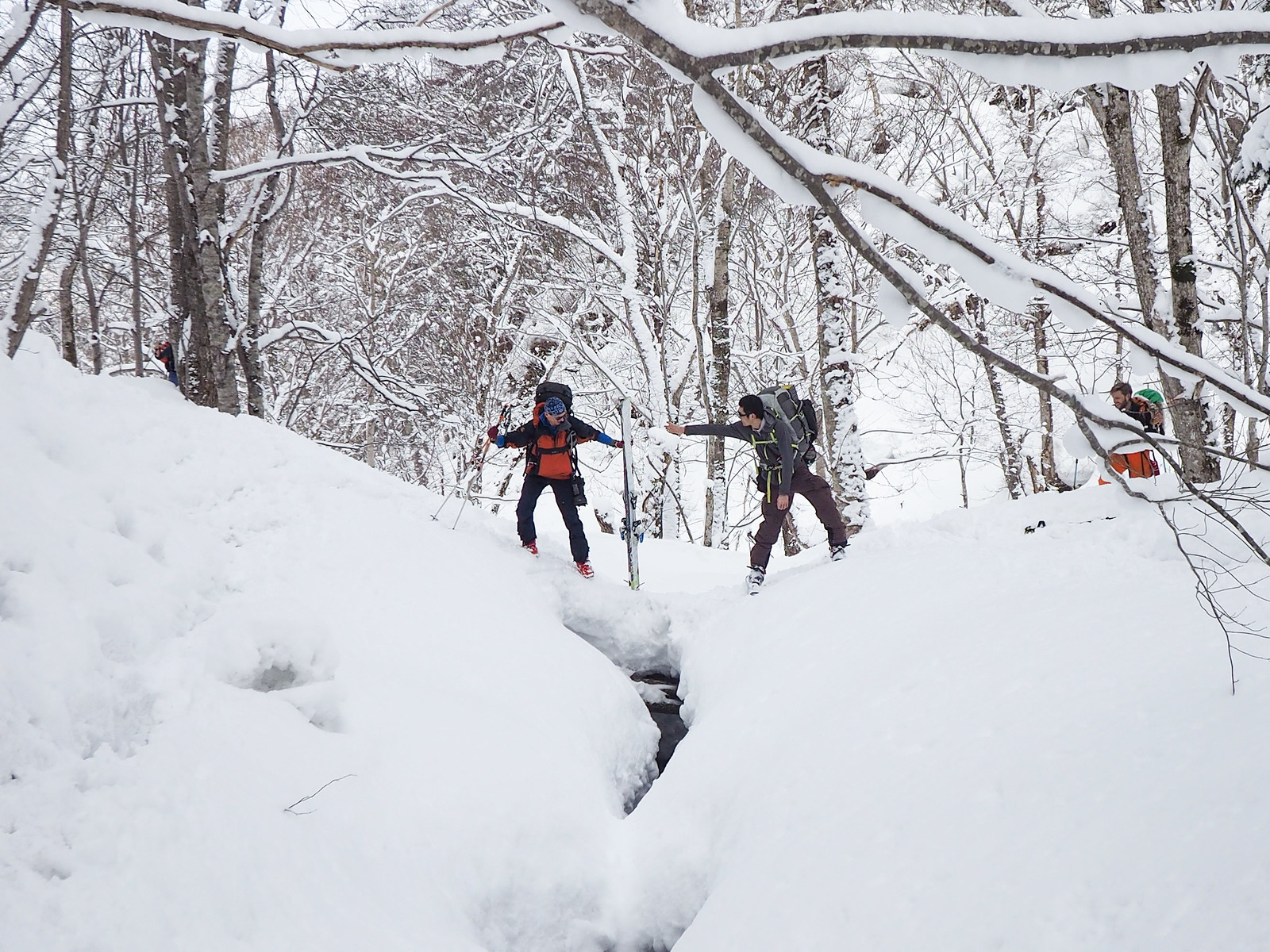
The route crosses the stream multiple times on the way to the hut. In most places a decently wide snow-bridge can be found later in the season. Earlier in the season might require some more searching.
The route diverges from the stream now and then, but always returns, all the way up to the hut.
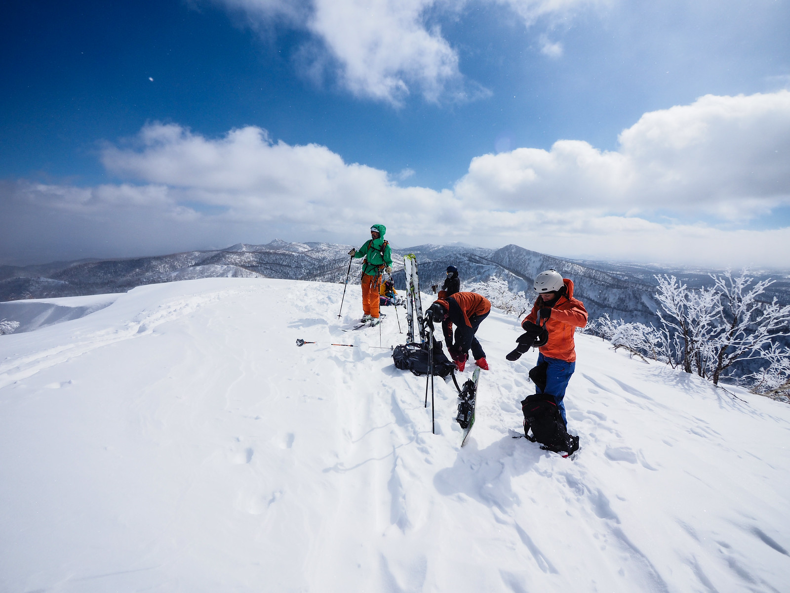
I had told the university that we’d be arriving at the hut at no later than 3pm. So the rostered hutkeeper was not there when we arrived at around 11:00am. We quickly cached our un-needed food and overnight equipment, and carried on up towards Mt. Sapporo.
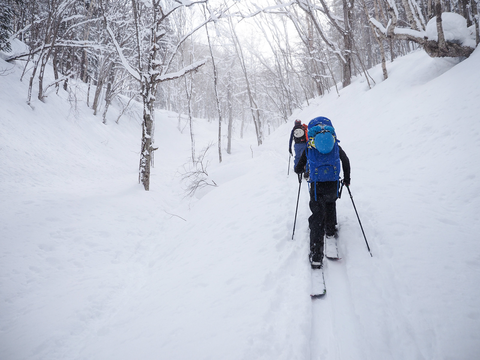
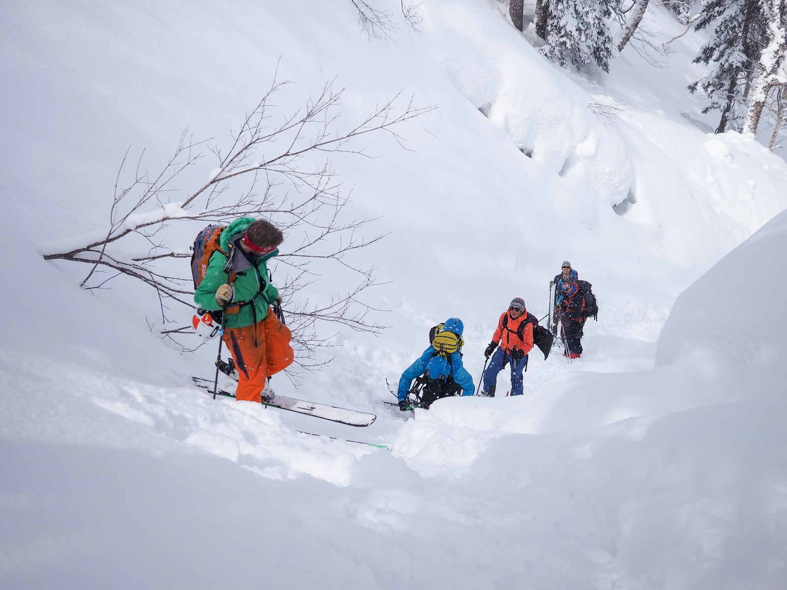
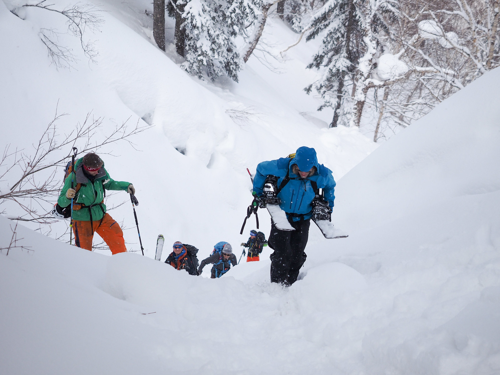
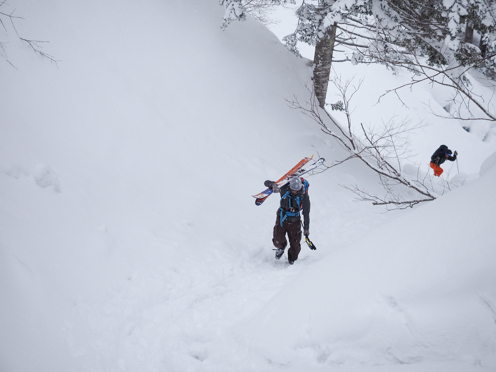
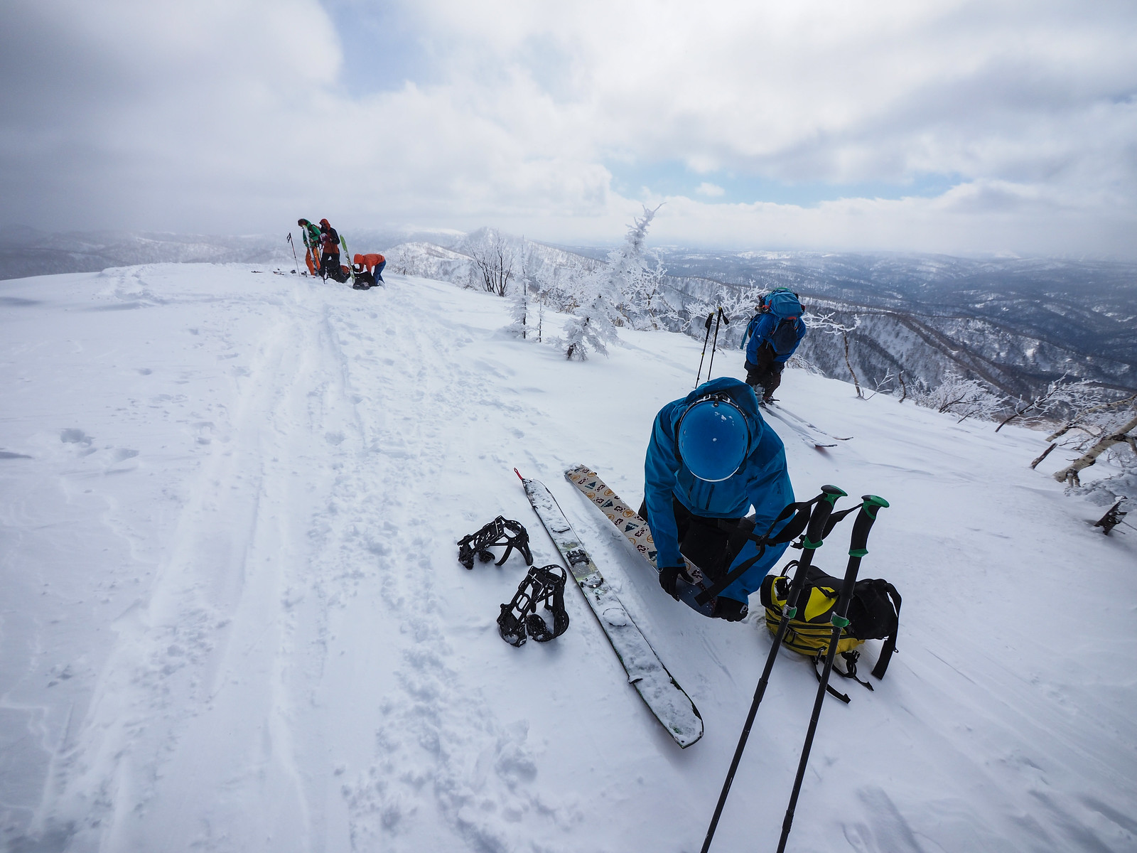
It was here that I was able to experience the gully of doom that everyone I’d talked to about Mt. Sapporo in winter had told me about. “I was slipping all over the place on my skis,” a colleague at work had told me. “I ended up just boot-packing up it.”
It wasn’t nearly as bad as it had been made out to be, however. It was a fun challenge to get up without removing the skis, but would have been just as fast to remove them and walk up. It was only a 100m section, after all. In earlier-season baseless soft snow, however, I can see how it would be much more of an effort.
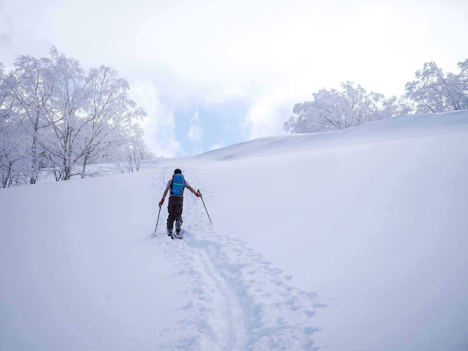
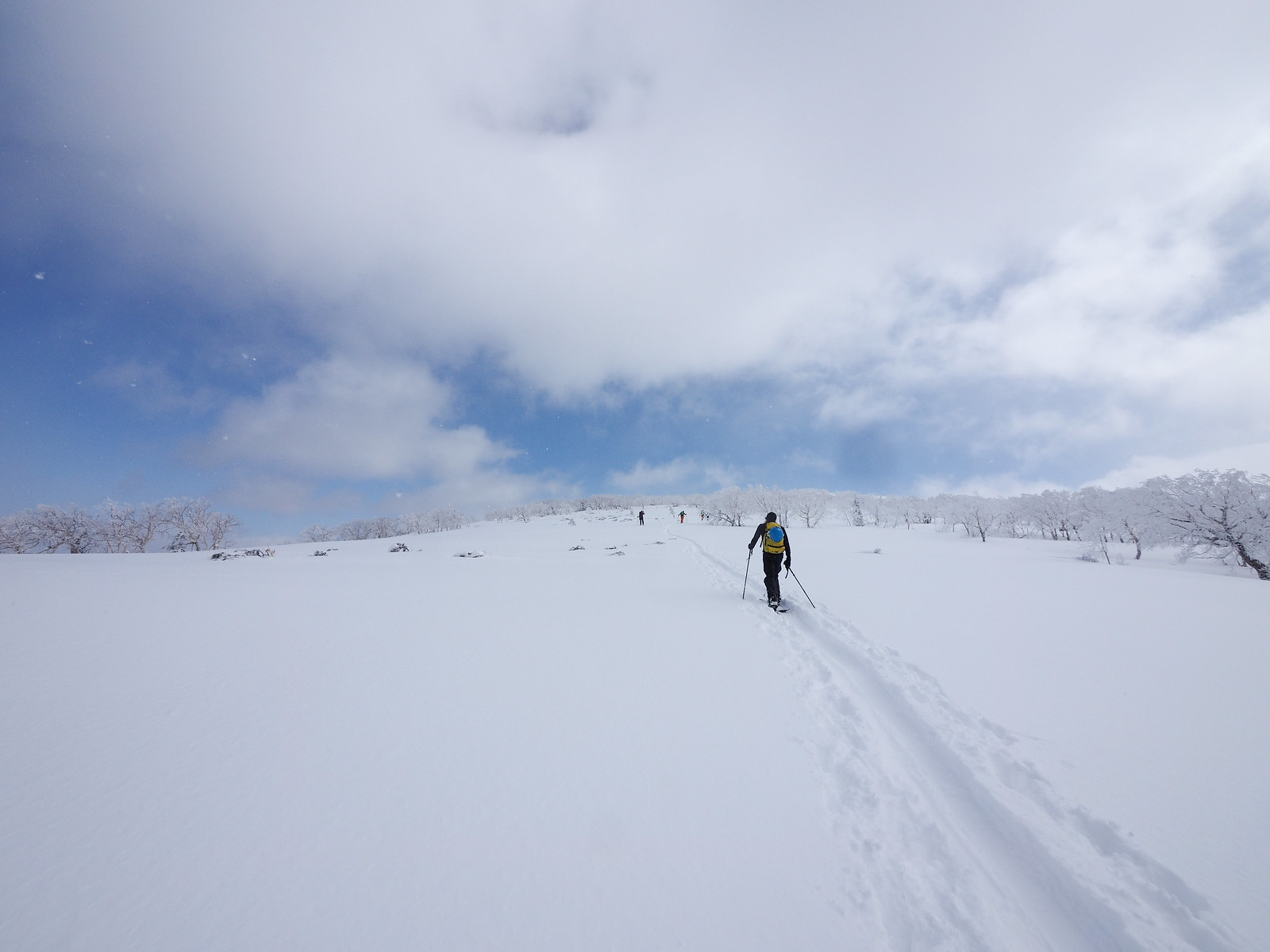
I can see why the Japanese ski touring guidebook for Hokkaido (ISBN: 978-4894538047) mentions this area as a place to be very cautious in low visibility. It is wide open and climbs ever so slightly beyond the treeline.
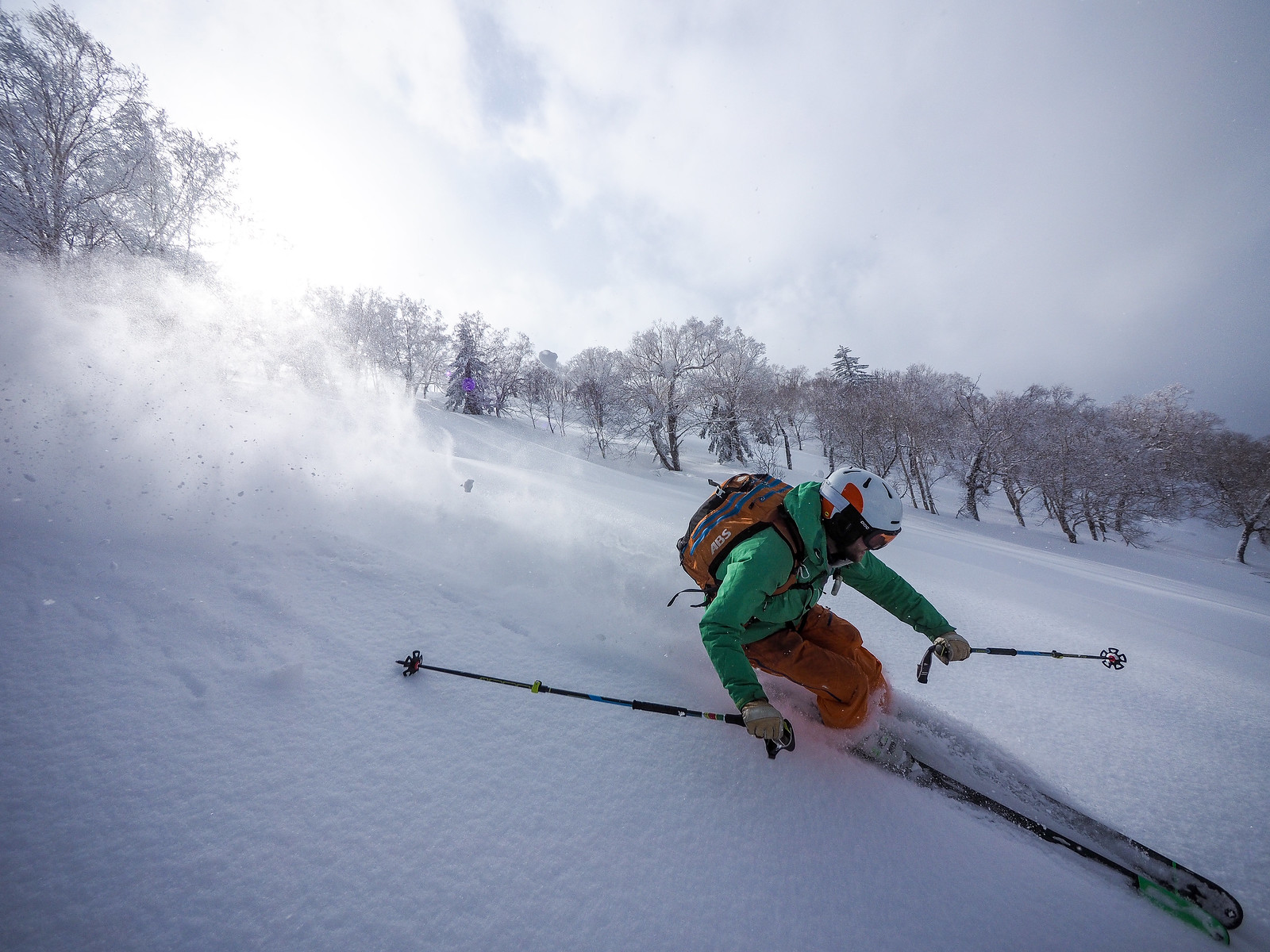
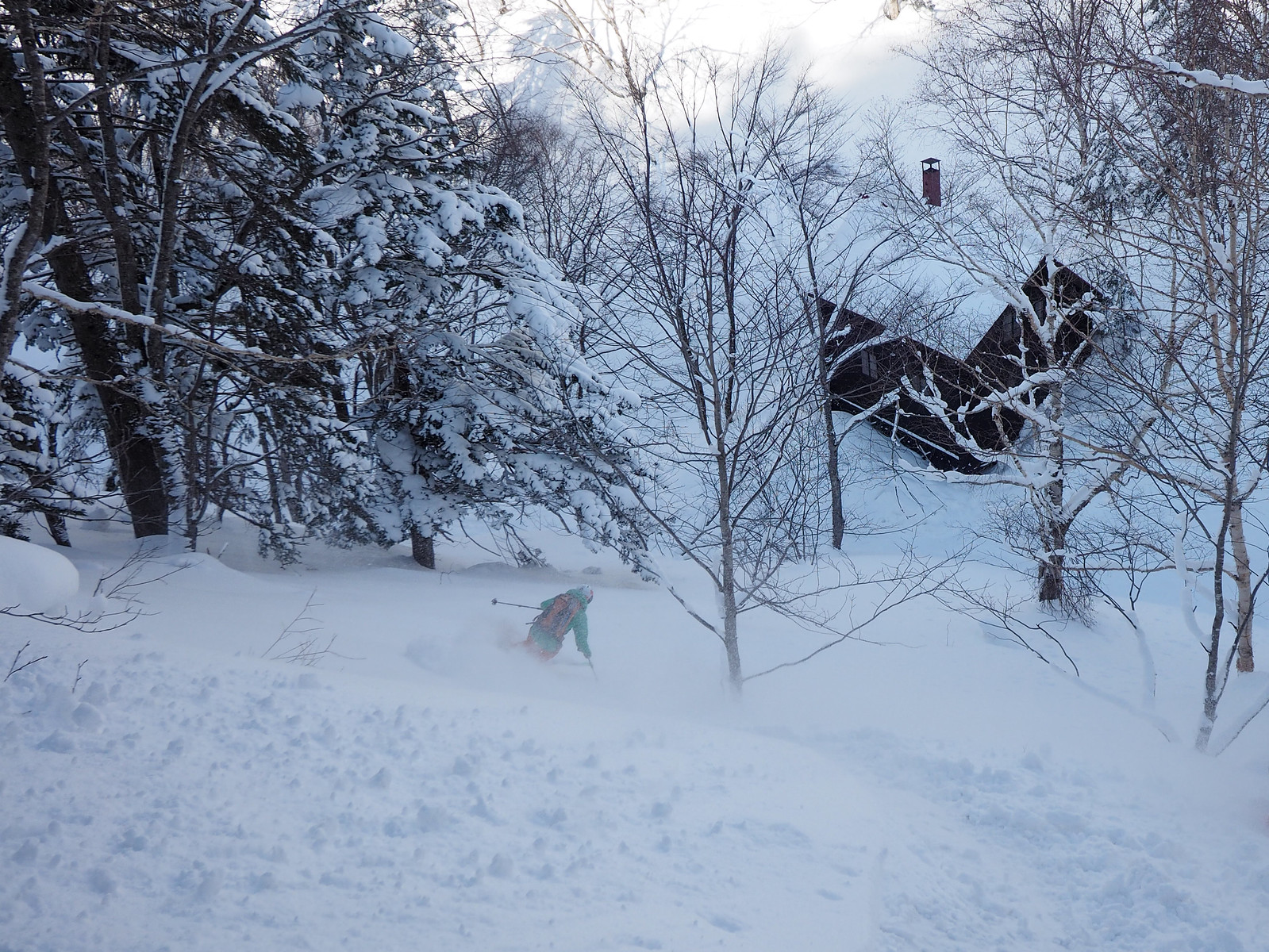
The downhill was surprisingly good for this late in the season. We’d had a lot of rain in the preceding week, and were pleasantly surprised with a nice 15 to 20 cm layer of fluffy fresh snow. We traversed quite considerably high along the western slopes of the valley to get to the hut, which meant we dropped straight down to the hut when it was below us. Traversing so high, however, meant that we had to cross a couple of large gullies, which would not have been very safe in more unstable conditions. It did, however, rewards us with a steep run directly down to the hut.




3 thoughts on “Sapporo-dake and Hiyamizu Hut”
Great website! Thanks! Just tried to snowshoe up Sapporo-Dake (11.2). Inspite of glorious weather I couldn’t make it to the top. The snow condition of the steep summer route behind the cottage was very difficult. Bottomless snow drifts all the way up. After 40 minutes I gave up … pity I was looking forward to seeing Yotei San from the peak … might try again when warmer and snow is more manageable!
Ah that is too bad. I’ve never seen anyone attempting the summer route (as marked on maps) from the hut in winter. Good on you for trying! Next time I would recommend the winter route that follows the gully all the way up (as indicated on this post). The snow is usually more hard-packed. Still a bit of a scramble in places though. Good luck for the next attempt!
… yes, I should have really taken a closer look at the map before venturing out there (hiked up several times in summer). I just printed out “your map” and hope to have another go on Monday. Once again thanks for this amazing website. Extremely useful!