A couple of 20-year-old pamphlets from the heyday of this ski resort say:
“This is a bitterly cold ski area, but with that comes the best powder snow. There are plenty of skiers visiting by car from Sapporo, and the pistes are full of gaiety with couples and girls. The slopes, appealing to beginners to experts with their varying steepness, are furbished with three lifts (730m, 724m, 754m), and allow skiers to enjoy the true pleasures of skiing. The touring course is 3km long, complete with course markers, allowing even beginners to safely enjoy the course” (translated from an entry in the 1995 Complete All Ski Area Guide, detailed here – entry backup).
“This popular ski area boasts a large piste area of 30 hectares and high quality snow. With 2,000m of downhill slopes including 800m of 30-degree steeps and a range of other angles on three pistes, it will satisfy a wide range of skiers from total beginners to experts. Of course it is complete with night skiing” (translated from an old ski area information entry here).
For a few years I had heard rumors of a popular derelict ski area northeast of Sapporo. It hadn’t been high on my list of places to visit, however, as trudging up a slope devoid of interesting trees and landscape didn’t really appeal to me. After doing some research, however, the small peak (Mt. Goryo-yama) to the east of the top of the ski runs looked interesting, and the weather forecast for this weekend looked fairly bleak in most places in Hokkaido. An easily navigated derelict ski area and an easily attainable peak in less-than-good weather conditions sounded like a nice bad-weather weekend option.
So a few of us made the 2 hour trek out of Sapporo City early on a Saturday morning, hoping to get some fresh tracks.
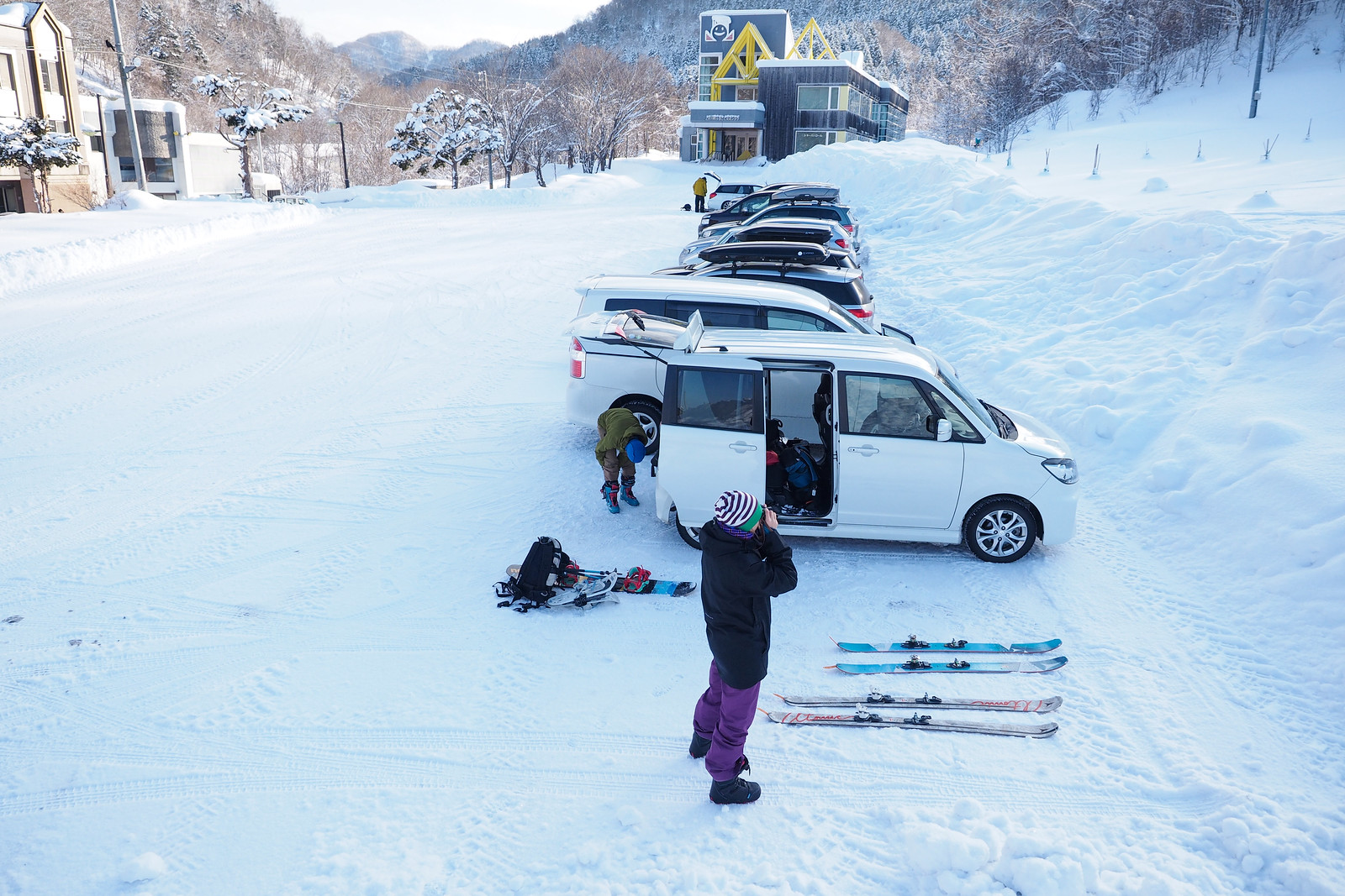
Despite leaving Sapporo at around 6:30am, however, by the time we got to the Panke Onsen carpark, there were already about 10 cars. This is clearly a popular spot to get some backcountry skiing in.
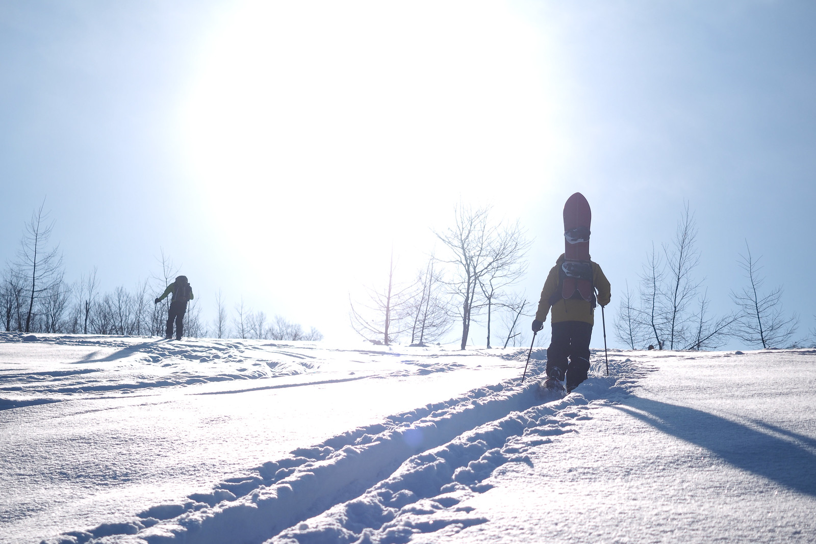
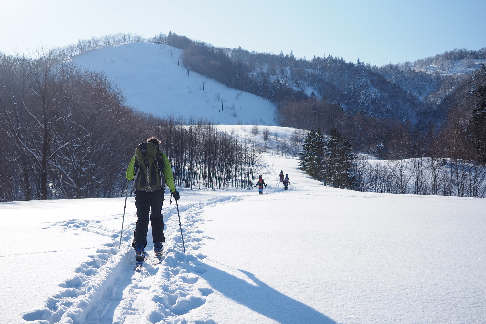
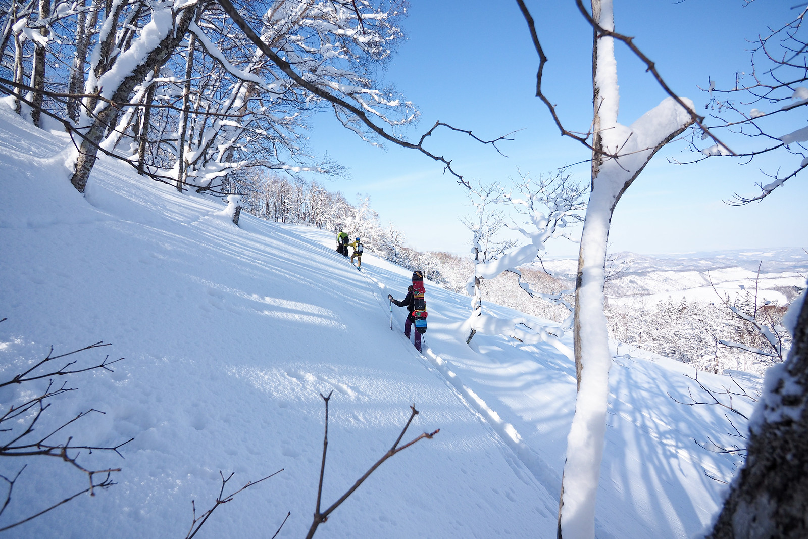
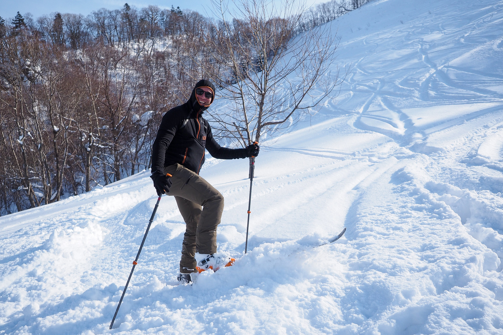
From the carpark, you’ll likely be following skin tracks that go straight up the hill. Those of us on skis decided to cut our own skin track to traverse and zig-zag up the hill at a more civilized angle. In all it took just over an hour to get to the top of the ski runs.
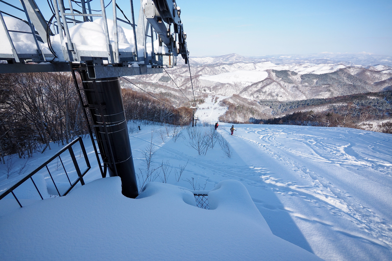
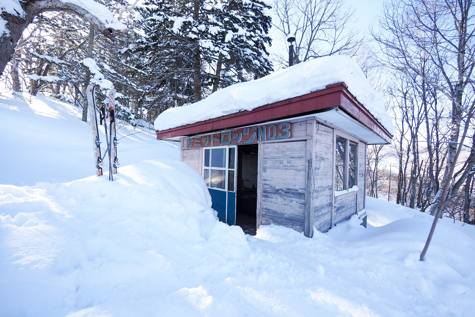
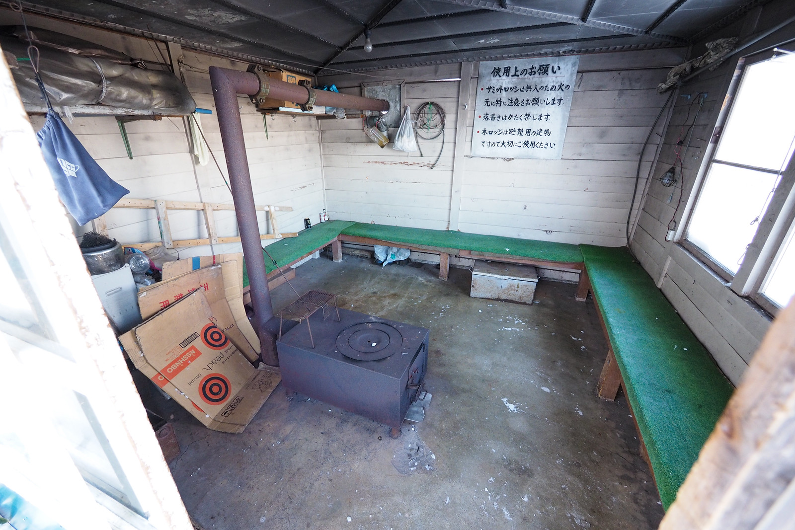
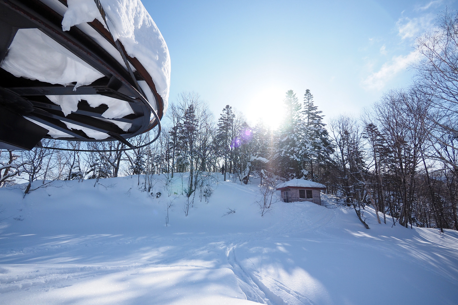
At the top is an emergency hut, which is unlocked and can be used for taking a break. Signs inside the hut remind users to treat the place with respect. There is a stove in the hut, but no fuel available for use.
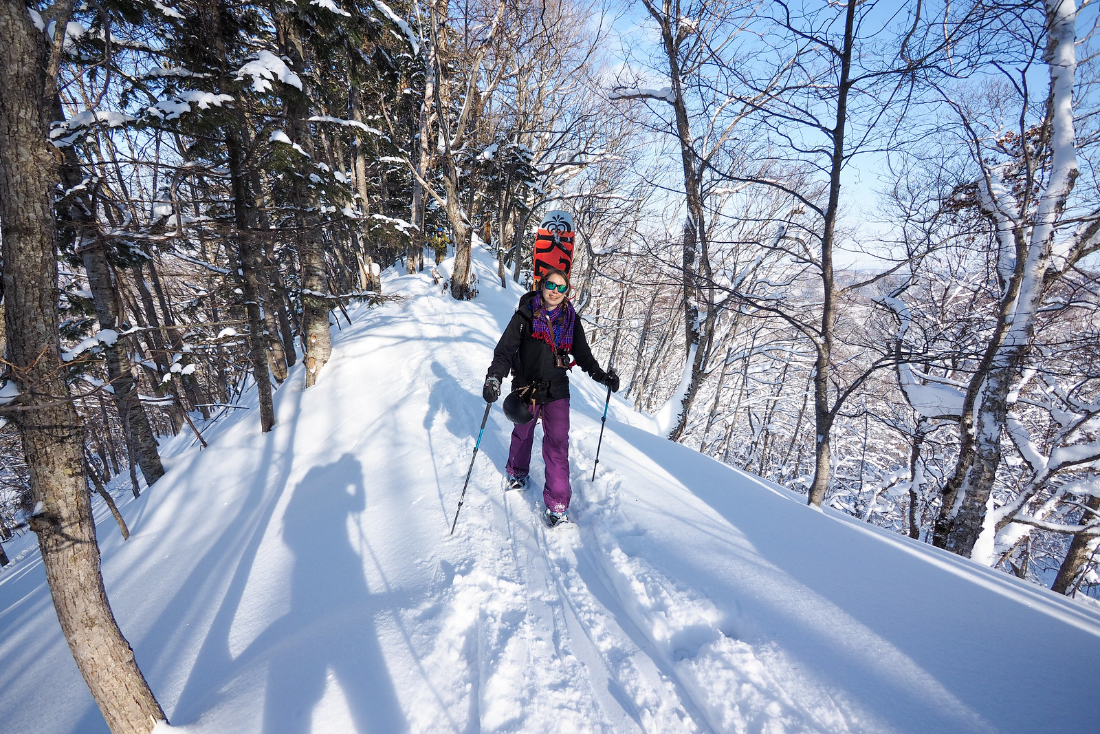
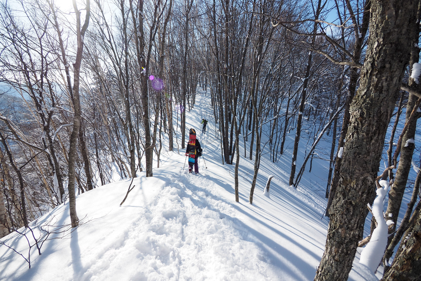
From the ski area summit hut, there is the option to carry along the summit ridge to the diminutive summit of Mt. Goryo-yama. From the top of the ski area it is about 20 minutes to the summit. According to the map and description in the 1995 Complete All Ski Area Guide (outlined here), the route to the summit of Mt. Goryo-yama seems to have been designated as an official ski touring route – complete with route markers – when the ski area was functioning (see that entry here). I found this out after the fact, which now lays to rest the question of what the mysterious metal sign-looking thing was that we saw attached to a tree along the way.
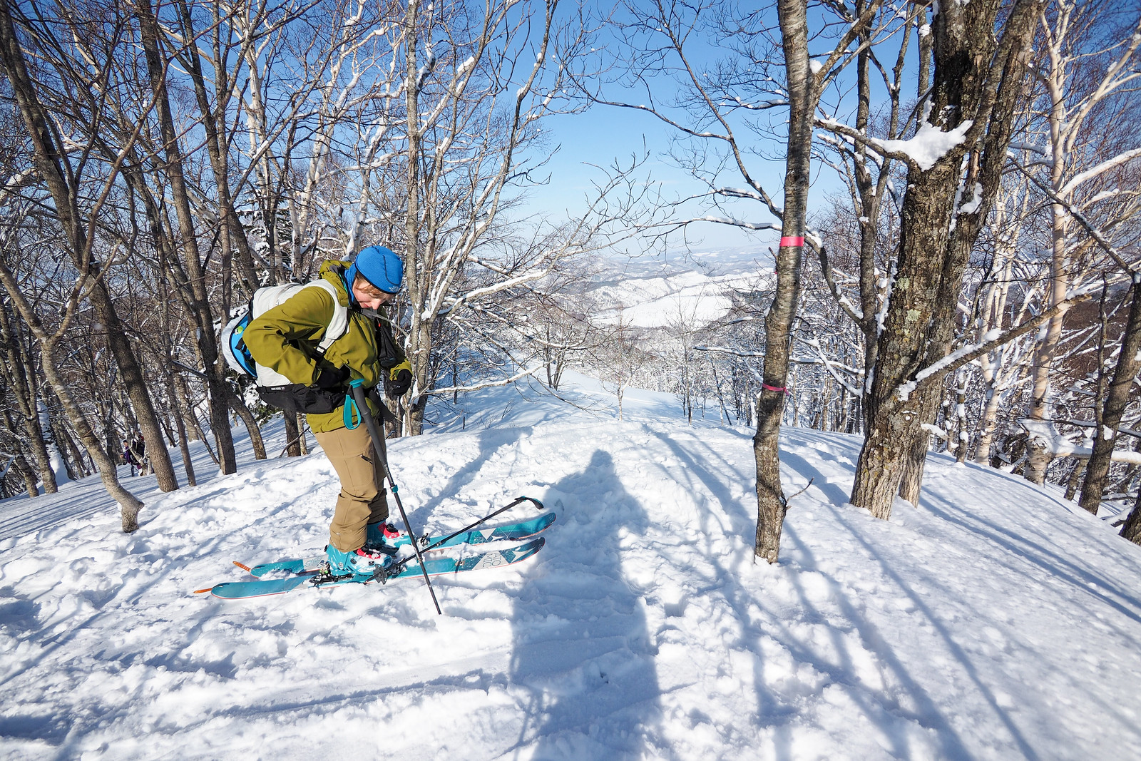
The peak of Mt. Goryo-yama is fairly non-descript, and doesn’t have any markers beyond a couple of pink bands of ribbon tied around a tree. The view is also fairly non-descript, and there isn’t much of a downhill at all from the summit – about four or five turns on a very mellow gradient.
That said, it really is a beautiful little microcosm of backcountry woods.
I had hoped that we’d be able to ski from the summit directly downhill towards the ski area. The topographical map doesn’t show the deep gully separating the summit from the ski area as the crow files, however, so to get back to the ski area the only option is to go back the way we had come.
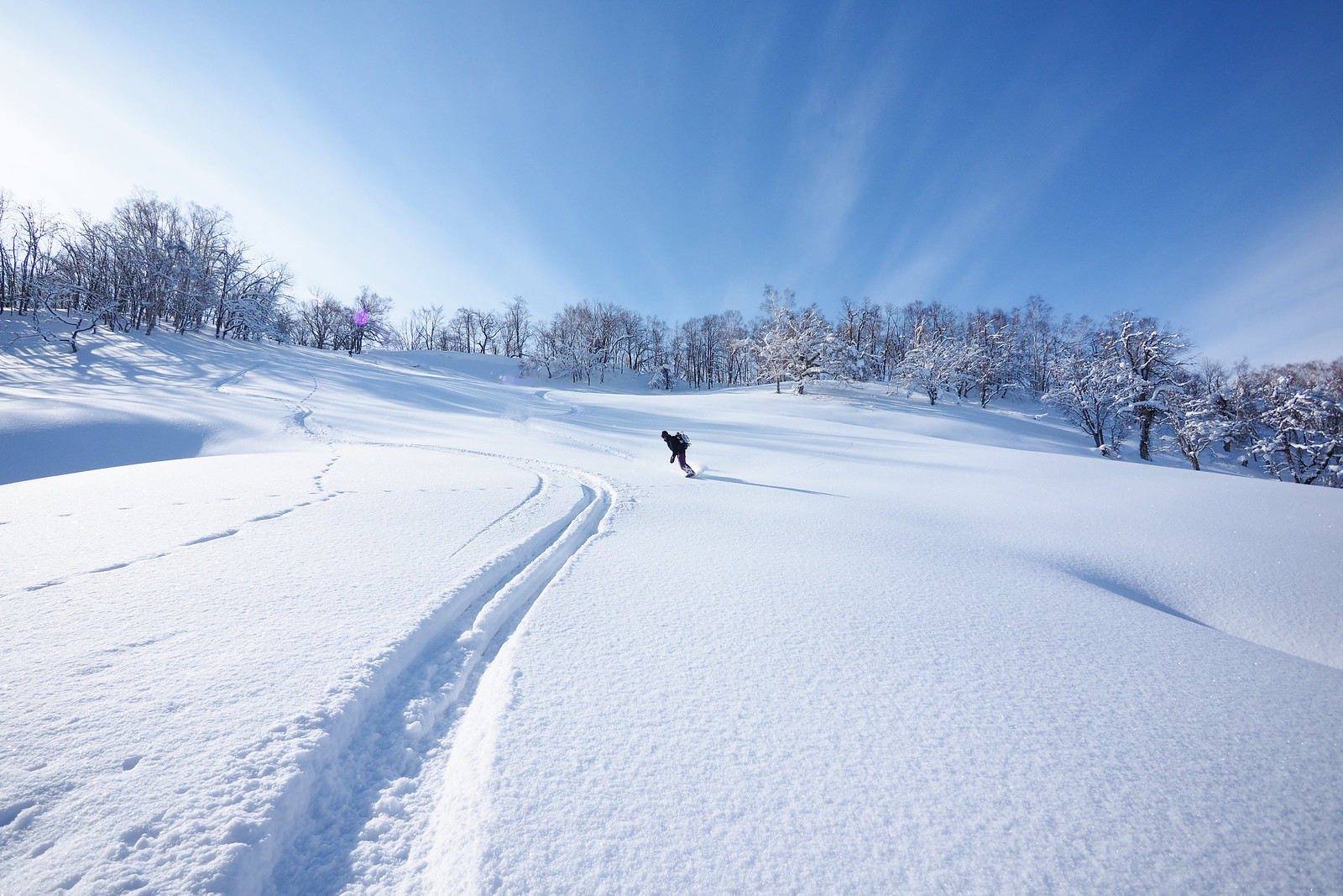
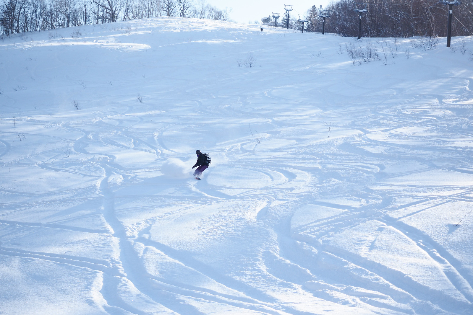
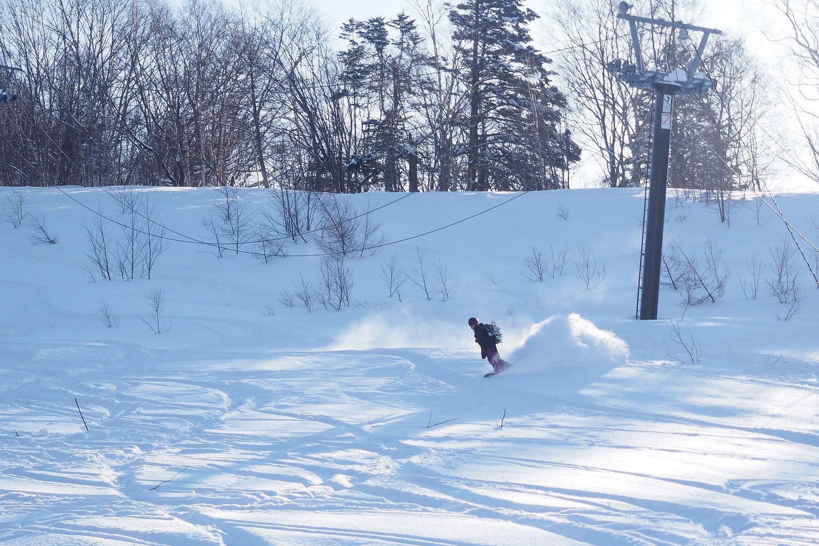
Back at the top of the ski area, it was now time to strap in and enjoy. We lapped the upper section twice – a great workout skinning up the uptrack! Big grins on the down 🙂
As can be seen in the photos above, it was relatively tracked up for us early on a Saturday afternoon. Mid-week after a good snowfall would be epic.
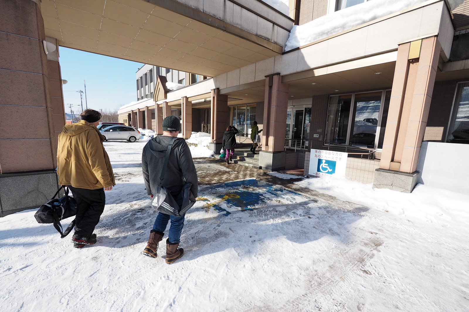
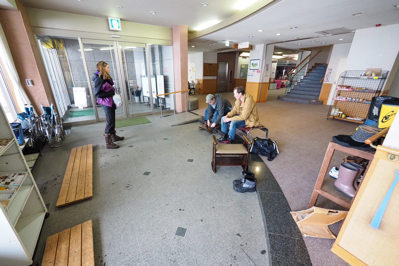
We finished the day off with a soak in the Panke Onsen just across the road from the ski area carpark. There’s no open-air bath at this onsen, but it was still good for soothing some tired muscles.
Post Script
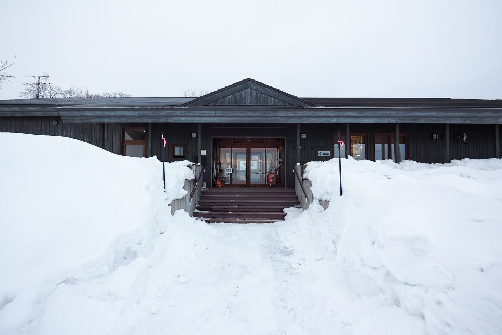
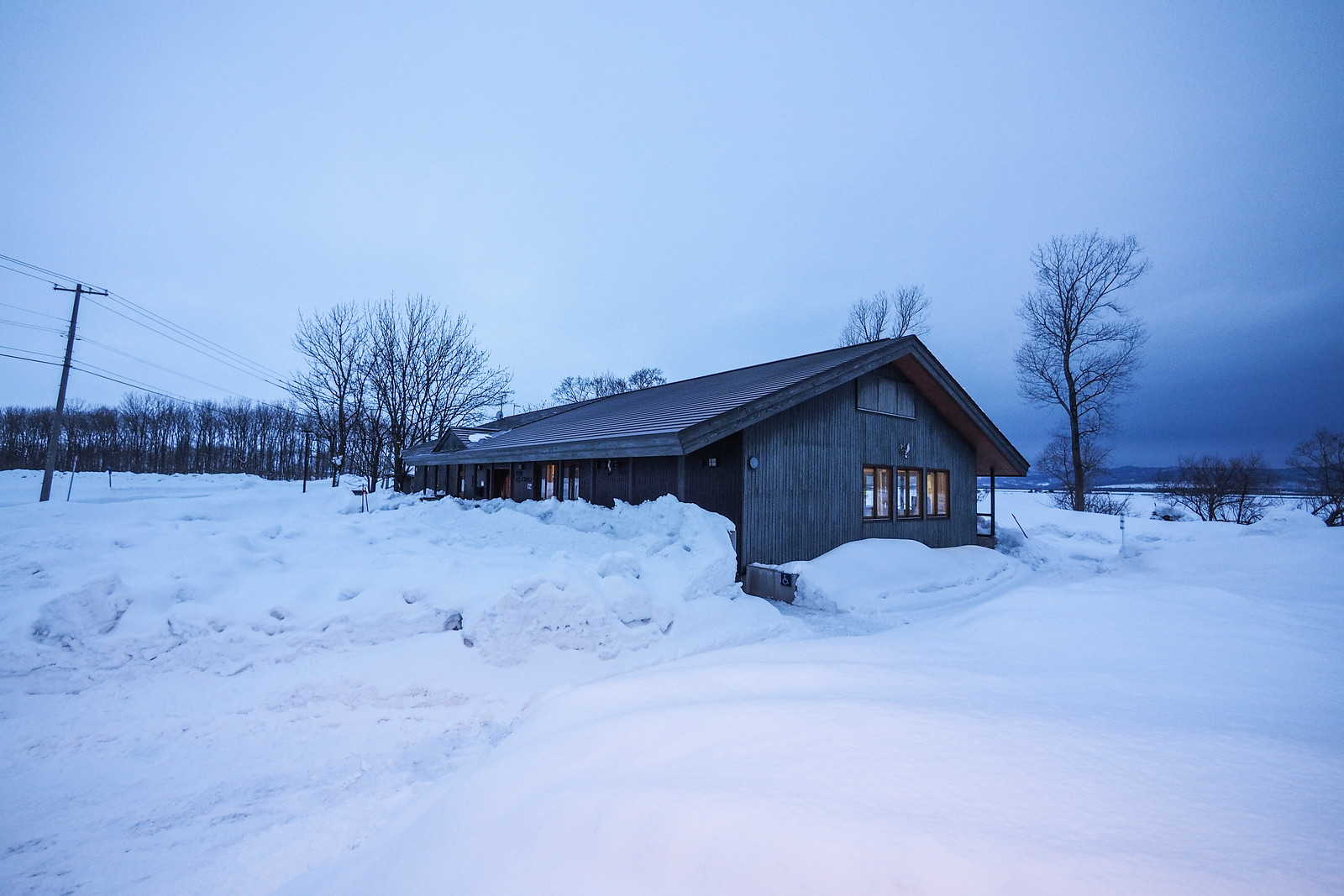
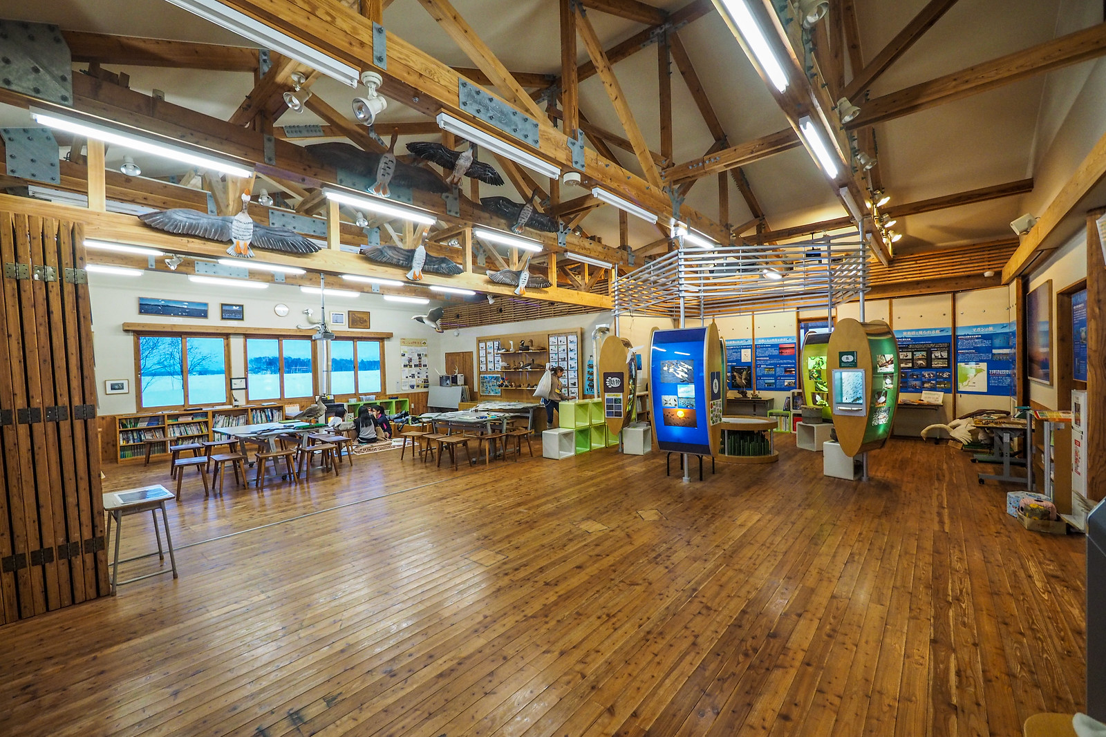
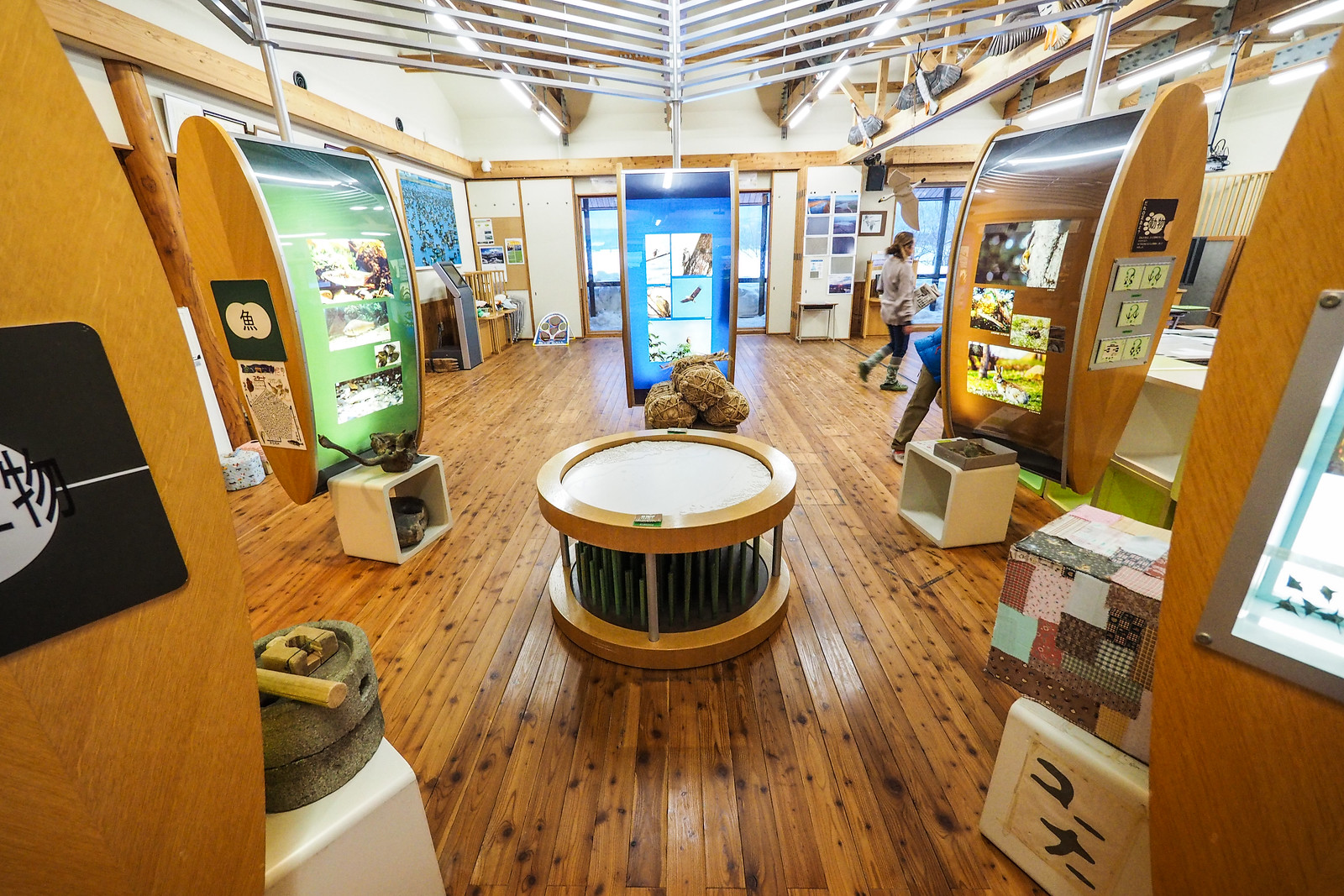
On the way home back to Sapporo, Haidee and I visited the Miyajima Pond Wildlife Center in Tsukigata Town, on Route 274 (here on Google Maps). We had been to Miyajima Pond a couple of times previously (to see migratory geese), but never in winter. Also, owing to the fact that we’d always been there just at day-break to see the geese, we’d never had a chance to take a look inside the wildlife center.
Miyajima Pond is designated as a RAMSAR Wetland of International Importance (site no. 1201), and is an important home to geese that fly north and south at different times of year. It is well worth a visit if you’re heading back to Sapporo City via the Route 274 backroads.




8 thoughts on “Goryo-yama and the derelict Kami-Sunagawa-dake Ski Field”
Hi Im Yasuo Makino from NPO Tsugistu.
We are organizing lower area of Kamisunagawa dake kokusai ski-jyo.
We made contract with Kamisunagawa town and controling lower area for event and tour.
We cut down some trees and made sign and rope for people to not to enter for keep good condition for event and tour.
I saw some people this season and last season who is from over sea and they enter in lower area.(duck lope, sneek in)
I tald them to not to do and asked how they know.
both of them said find kamisunagawa from your page.
Could you add information about not to enter lower areaof Kamisunagawa ski-jyo, hike up far right to avoid main open slope, don’t duck rope or sneek in to lower open area.
Please.
I hope youcan understand and update your page to announce this infomation.
Thank you
Thank you for the message Yasuo, and apologies for not replying sooner! For sure, I will update the page now. Thank you very much for getting in touch!
Just to follow up, I’ve adjusted the GPX file, and also added a caution note to the top of the page.
Highly recommend the East Face as a good way to finish the day here. We did the summit bowl (bonus of lots of wild deer roaming around), traversed back towards the ski area a bit plus a short tree run, then hiked back up to the summit ridge so we could drop the east face. This last run turned out to be highlight of the day. It finishes at a creek so you need to find a snow bridge to get out, but once you’ve crossed you’re back on the forest road and an easy bit of poling back to the onsen. Little vid of the day here: https://youtu.be/bLlK6KnQYcg
Thanks for the write up, would never have thought to try this area! The old ski resort offered a fast hike up to the ridge and the other side of the drainage had great runs down, as well as views across the valley to the mountains on the coast. Keep an eye on the creek crossing if you don’t go down through the old resort. 😉
Hey Matt, thank you for the great feedback!
The more I see of Japan the more I want to go especially that it hasn’t snowed in North America for months. Might have to plan a trip next year. Enjoy the EPIC pow!
Definitely!