Posted on Apr 26, 2016
31 0
EN
Posted on Apr 26, 2016
31 0
EN
11km

Distance

6 hours

Time

790m

Ascent

1320m

Highest point

7/10
Difficulty
Snow Icon | Hokkaido Wilds
Jan-Apr

Best season

Mt. Izari-dake (漁岳, 1,318m) is situated just 60 minutes to the southwest of Sapporo by car, and overlooks some of the best caldera-rim scenery in the area. For the last hour and a half of the (steep) climb up on the open ridge, the route offers expansive views towards Mt. Eniwa, Lake Shikotsu, and the secluded Lake Okotanpe. The round trip from the car takes four hours or less, making it a perfect half-day tour within reach of Sapporo City.

Last updated Apr 2, 2021

Route Map

Need to know details

Location

Mt. Izari-dake is located on the Lake Shikotsu caldera rim, at the northern side of the lake. It is about 50km southwest of Sapporo City. The winter ski touring route starts at the entrance to the Izari-dake Rindo forestry road, here.

General notes

This popular ski touring route up Mt. Izari-dake on the Lake Shikotsu caldera rim gives amazing views across to Mt. Eniwa and the lake. The first 2km or so of the route is on the relatively flat Izari-dake rindo forestry road, before it gets to the ridge at 720m.

Hut
None
Route details

This route is sometimes marked sporadically with tape tied to trees, but you’re best to assume that you’ll be navigating on your own.

Route Timing
Up | 4.5hrs
Down | 1.5hrs

In the route notes below, I mention that we got to the top in around 3 hours. This was aided somewhat by the fact we did the trip in spring conditions. In January and February, expect it to take longer if you’re breaking trail in fresh snow.

Transport

Public transport:

This route is not accessible by public transport.

By car:

In mid-winter, the sidewalk near the entrance to the forestry road (here) is usually cleared. If you have a 4WD with enough clearance, you’ll be able to park there. Otherwise, there is a larger parking area 600m further up the road, here.

Physical maps
Official Topo Map: Eniwadake (恵庭岳) – map no. NK-54-14-12-3

NOTE: The official 1/25000 topo map(s) above can be purchased for 350yen from Kinokuniya bookstore next to Sapporo Station or online (in Japanese).

Aspect
The main aspect skiers are exposed to on the descent and/or ascent is East. Other aspects that may also be encountered while following the route outlined on this page include: North. Therefore, keep an eye on the weather forecast a few days ahead of your trip to monitor wind, snow, and temperature. Also, since this route is in the general vicinity of the Shiribeshi area, consider looking at the Japan Avalanche Network avalanche bulletins (updated Tuesdays, Thursdays, Saturdays at 8am) or the daily Niseko Avalanche Information website. These may give extra insight into avalanche conditions in the greater area around the route.

Snow and
route safety

Take care with last eastern slope approach to the summit – it is an avalanche risk area, as mentioned in the Hokkaido Yukiyama Guide, p. 163.

  • Notify the police of your backcountry plans online using Compass – instructions here.

Izari-dake Backcountry Skiing Difficulty Rating

Category

Grade

Points

Strenuousness

Vertical Gain

B

35

Time ascending

B

6

Technicality

Altitude

A

10

Hazards

C

6

Navigation

B

12

Totals

69/100

GRADES range from A (very difficult) to D (easy).  More details here. Rating rubric adapted from Hokkaido Yukiyama Guidebook 北海道雪山ガイド.

Weather forecast

Windy.com weather forecast for Izari-dake
Onsen nearby

If you manage to get down before 2:30pm, drive over to the excellent Marukoma Onsen (丸駒温泉) overlooking Lake Shikotsu. It is more than worth the 1,000yen entry fee. It is around 10mins by car from the trailhead to the onsen. For the location on Google Maps, click here.

Extra Resources

Guide Options

If you’s like to ski this route and/or explore other hills south of Sapporo together with a local certified guide, get in touch with either Wataru Nara or Yasuko Kikuchi. They’re both Hokkaido born-and-bred Sapporo-based JMGA-certified guides. They both cut their teeth on peaks including those around Sapporoa and have taken part in major international expeditions. In addition, see a full list of English-speaking Hokkaido Mountain Guides Association (HMGA) guides on the HMGA website here

Support us

Like this content? Buy the HokkaidoWilds.org team a coffee. 50% of tips go to the Hokkaido Wilds Foundation.

Show Full Route Notes Close Route Notes

Route Trip Notes

Route blurb from the Hokkaido Yukiyama Guide (2015), p. 162 (translated by Hokkaido Wilds)

The name of the mountain comes from the fact that Mt. Izari is at the source of the Izari River. Along the ridge from Mt. Izari is Mt. Koizari, Mt. Fure, Mt. Ninaru, Mt. Eniwa, Mt. Tarumae, Mt. Fuppushi etc. These peaks make up the Lake Shikotsu caldera, and you’re able to look over to those peaks from the summit of Mt. Izari. There’s no hiking trail up Mt. Izari, so the only way up Mt. Izari in the summer is via canyoning. Despite the long forestry road approach, this route enjoys great views on the upper reaches.

Despite the blustery and rainy weather from the day before, the day started off clear and dry – just as the forecast promised. I met Rick at Chitose Station with a rental car, and we set off from there towards Lake Shikotsu. If you have a Japanese license and can speak Japanese, I recommend Nikoniko rentals for the best value rental cars (all over Japan).

Spring backcountry skiing on Mt. Izari-dake (Hokkaido, Japan)

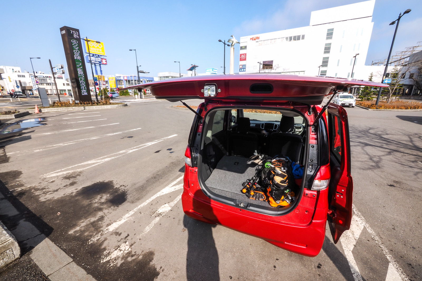
From Chitose station, it is less than one hour to the start of the forestry road, which you follow for 1.5km before heading up to the wide undulating ridge. Late in the season it is possible to drive the 750m from the main road to the gate. Otherwise, there is a small area for parking near the entrance of the forestry road (before crossing the river, if coming from the Chitose side). If that small area is full, then there is a larger parking area about 5 minutes walk back towards Lake Shikotsu. On this particular day, there seemed to be already quite a few people up the mountain.

Beyond the gate, the road was clear of snow. We were beginning to wonder how far of a walk it would be before we could put on the skis. In the end it was less than 500m before we could indulge in that beautiful sound of skins sliding across snow. Wet spring snow, but snow nonetheless. We were following the gorgeous Izari River for around 50 minutes, before heading left at around 700m in altitude to get to the ridge that would take us up to the peak.

Once on the wide ridge, it is a good idea to take bearings and add markers if necessary for the descent. It would be fairly easy to lose one’s way or miss a turn on the ridge in poor conditions. Even in clear weather, the relatively featureless ridge, with plenty of trees, can be confusing to navigate on the way down.

That said, there were plenty of old route markers along the way when we went up, making for easy navigation. From around half-way up the ridge, the route becomes steep enough to allow for massive views over Mt. Eniwa and Lake Shikotsu. This view stayed with us all the way to the summit.

This is a great hill to get some serious kick-turn practice in. The last 15 minutes to the peak, in particular, is very steep and requires some long diagonal traverses, punctuated with some smooth turns. Rick was getting better with each turn…when his skis cooperated, that is 😛

We were at the top in just under three hours. The sun was shining, and all was well with the world. While we were eating lunch, a few more groups arrived, including a group of kids in gumboots and jeans. It is fair to say that on a clear day with stable weather, this is a fairly straight forward hill to tackle. It even comes with its own little shrine at the top.

The descent back to the car is rip-roaring fun…for the first 10 minutes. The super steep spot that requires the smooth kick turns is fantastic for getting in some smooth and fast turns on the way down.

From the col at 1,100m, however, the descent consists of some traversing which includes some 5 minute side-stepping climbs, punctuated with some short fast downhill bits, and then some flat pushing, and then some fast tree-dodging, before being spat out onto the forestry road. The forestry road descent is not particularly exciting, and does require some pushing. This is generally the reality of skiing the lower hills around Sapporo – long-ish approaches on forestry roads and plenty of trees to dodge.

The forestry road threw us a couple more curve balls typical of this late spring season, with the road clear of snow in places, requiring some last-minute clambering before arriving back at the car. All in all though, this is a fantastic half-day ski within very easy reach of Sapporo. I’m sure it would be even more magnificent in mid-winter.

As with each ski touring, cycle touring, and hiking route guide published on hokkaidowilds.org, should you choose to follow the information on this page, do so at your own risk. Prior to setting out check current local weather, conditions, and land/road/track closures. While traveling, obey all public and private land use restrictions and rules, carry proper safety and navigational equipment, and of course, follow leave-no-trace procedures. The information found herein is simply a planning resource to be used as a point of inspiration in conjunction with your own due-diligence. In spite of the fact that this information, associated GPS track (GPX, KML and maps), and all information was prepared under diligent research by the specified contributor and/or contributors, the accuracy of such and judgement of the author is not guaranteed. hokkaidowilds.org, its partners, associates, and contributors are in no way liable for personal injury, damage to personal property, or any other such situation that might happen to individuals following the information contained in this post.

Comments | Queries | Reports

Done this route to Izari-dake, or others nearby? Thinking of doing it? Please post any feedback, reports, or queries here. Thanks!

Leave a Reply

Your email address will not be published. Required fields are marked *

This site uses Akismet to reduce spam. Learn how your comment data is processed.

See More Like this