


After a jaunt up Mt. Furano the day before, and a relaxing night at Hakuginso Lodge, we were all ready to do the route up Mt. Sandan this morning. Looking at Mt. Sandan from the lodge’s carpark, however, revealed massive trails of snow being ripped off the face of the mountain. Mt. Maetokachi’s Kabawara Ridge didn’t look much better. The eastern reaches of Mt. Maetokachi’s northwestern face, however, looked less like a gale-force mess, so we decided last-minute to head in that direction in search of a more sheltered skin up the mountain. It ended up being a fantastic choice – the emergency hut was a lovely respite, and the bowl above the hut, despite some icy patches, was a blast coming down.
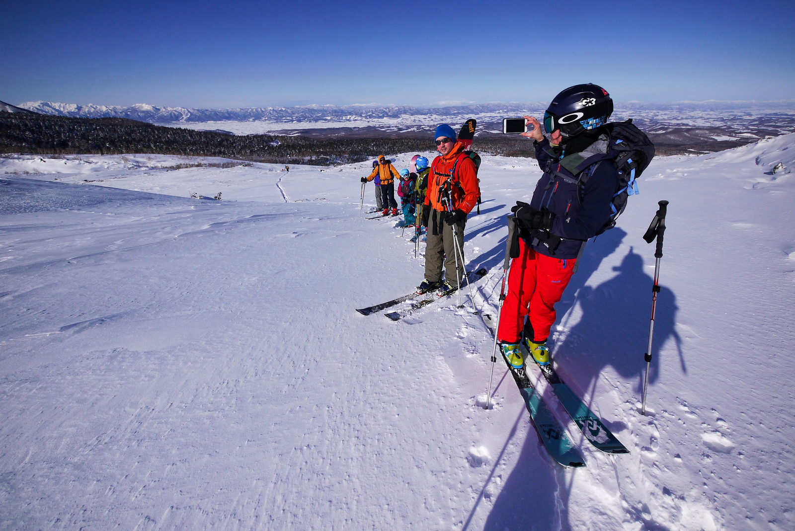
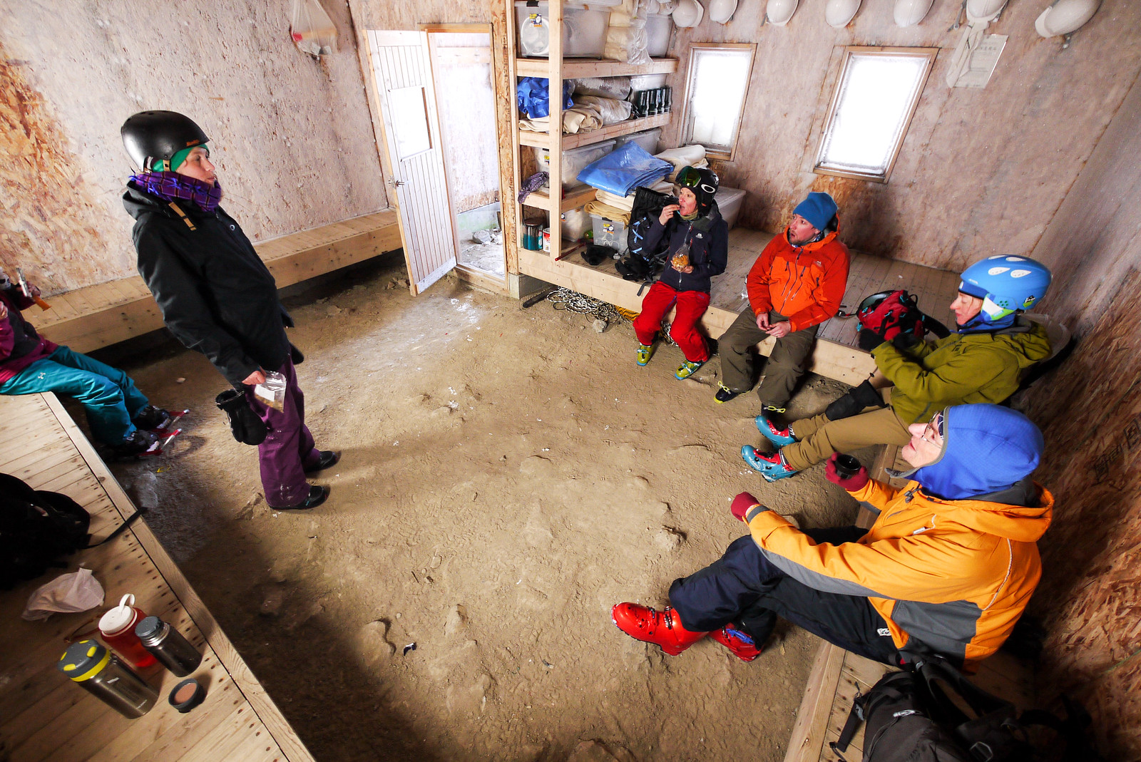
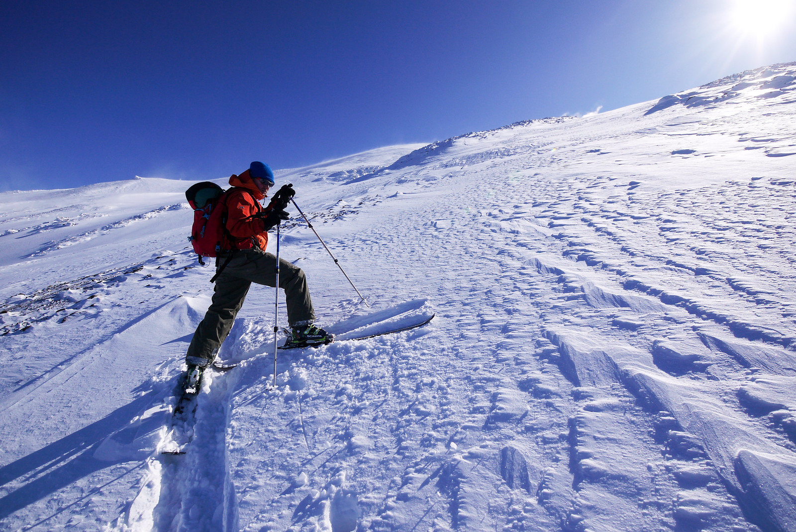
The day started out, however, with a 6:00am wakeup and quick breakfast in the Hakuginso Lodge kitchen. It had been a full house the night before, so everyone was vying for table space.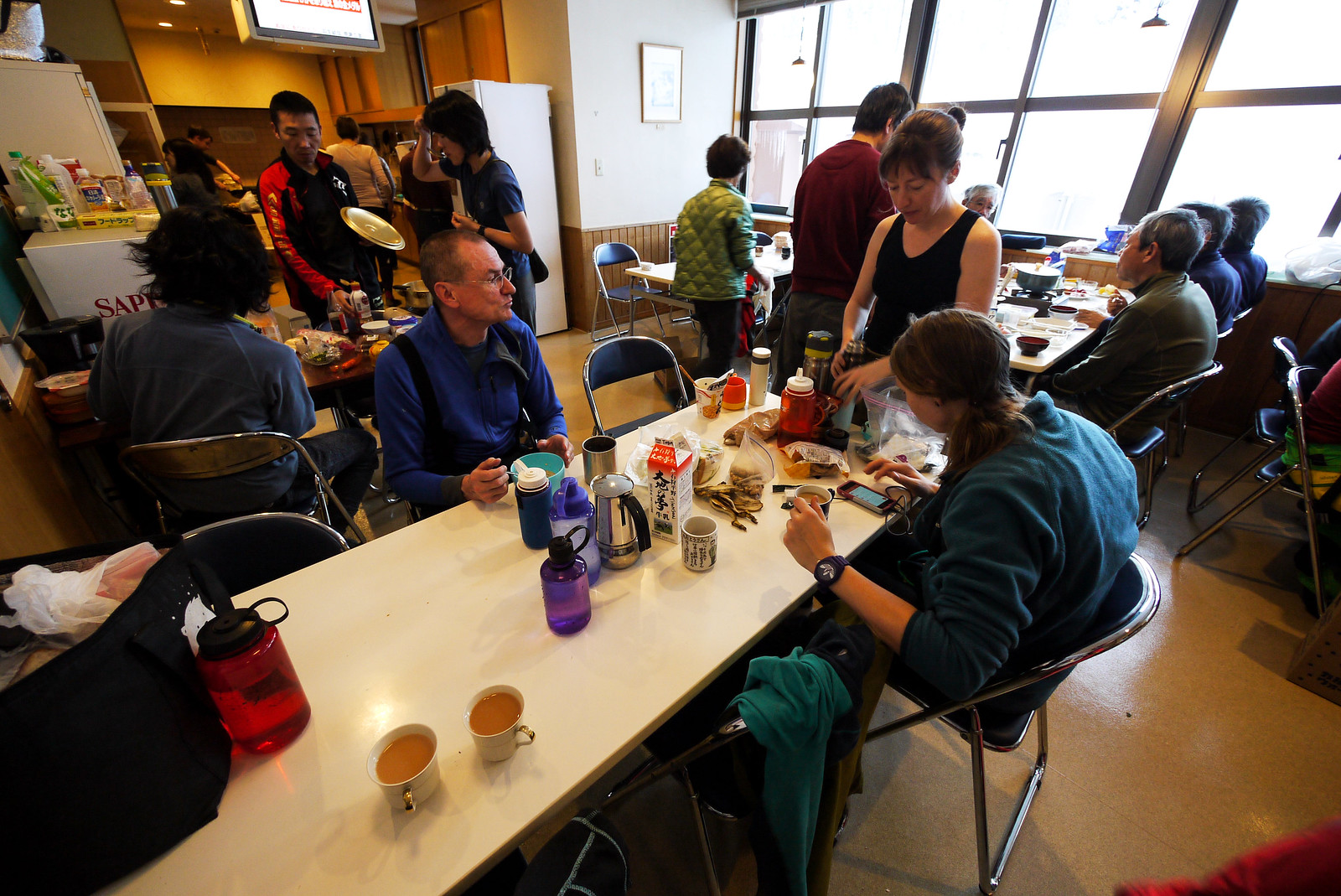 The outside thermometer was showing -15°C at 7:30am, and we were all feeling the cold as we organized ourselves outside. The sunny blue skies were a great morale boost, but didn’t seem to do much to offset the frigid breeze blowing.
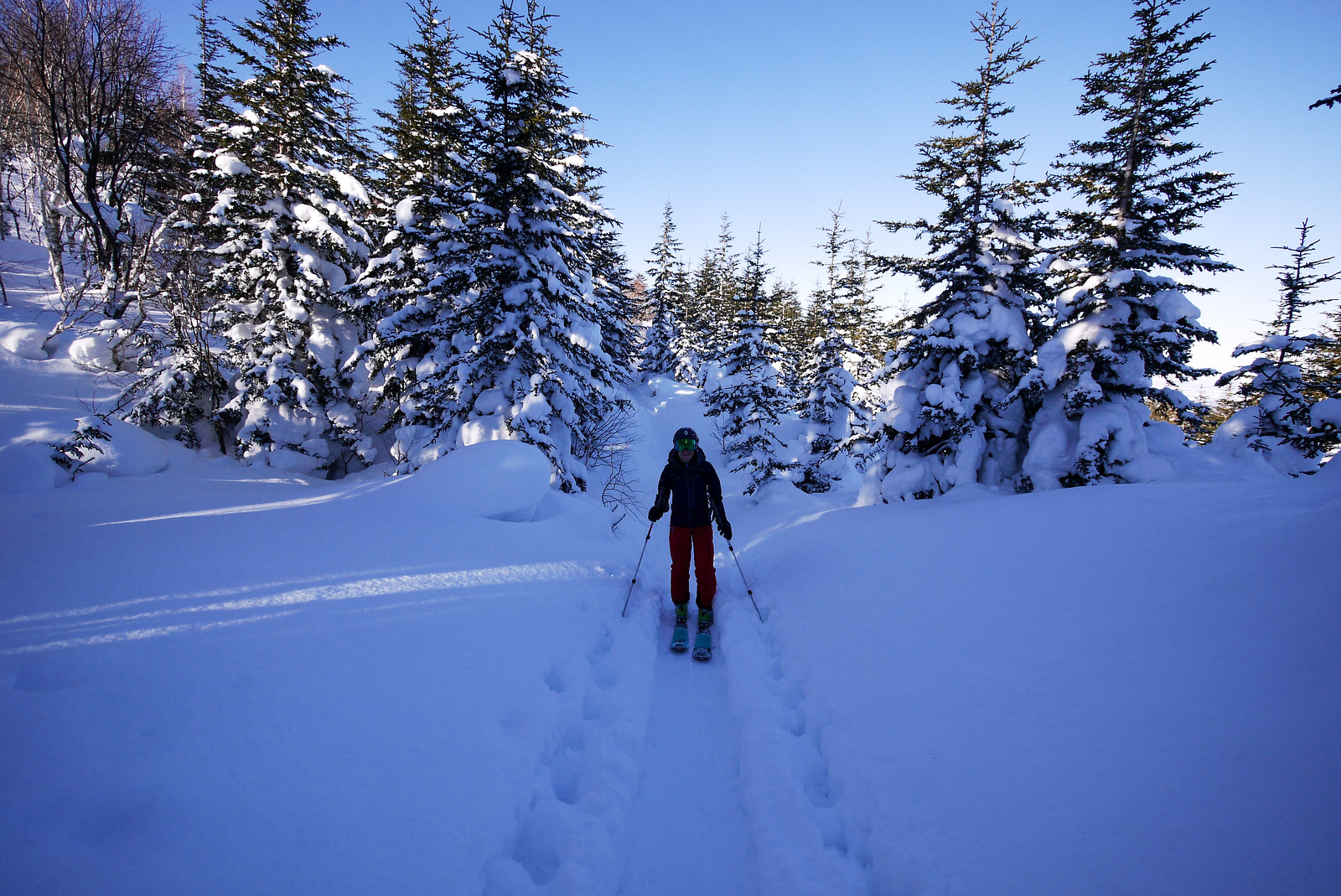
At 8:15am we set off from the lodge into the woods to the east of the lodge.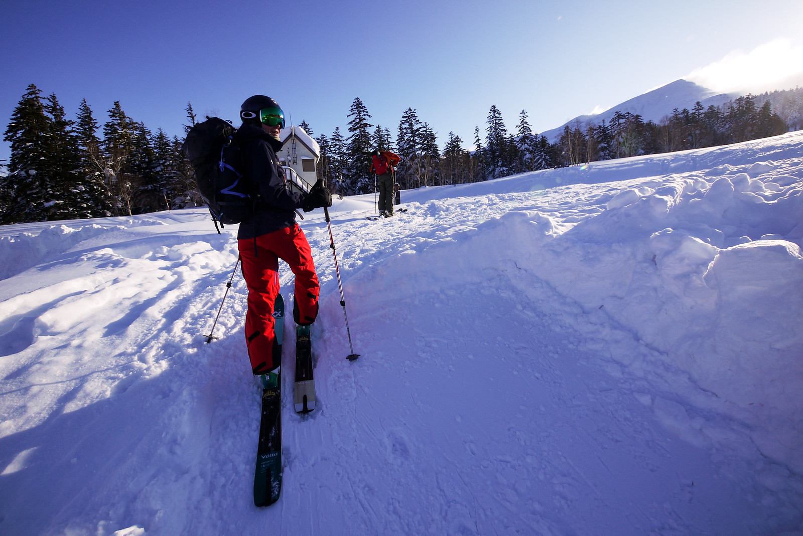
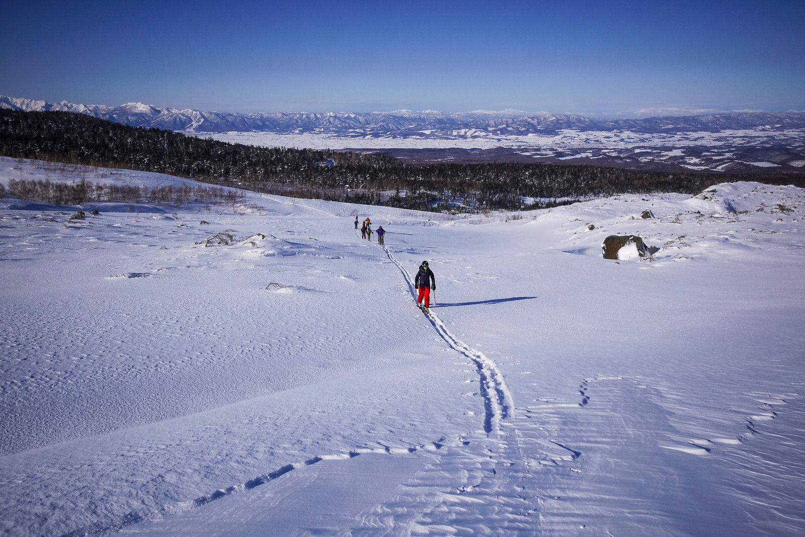
 As we crested the small ridge just after exiting the woods, I spotted the Tokachidake Hut. Between here and there were small rocky outcrops along the way which would give short respites from the wind, so I decided we’d make a beeline for the hut and assess our options from there.
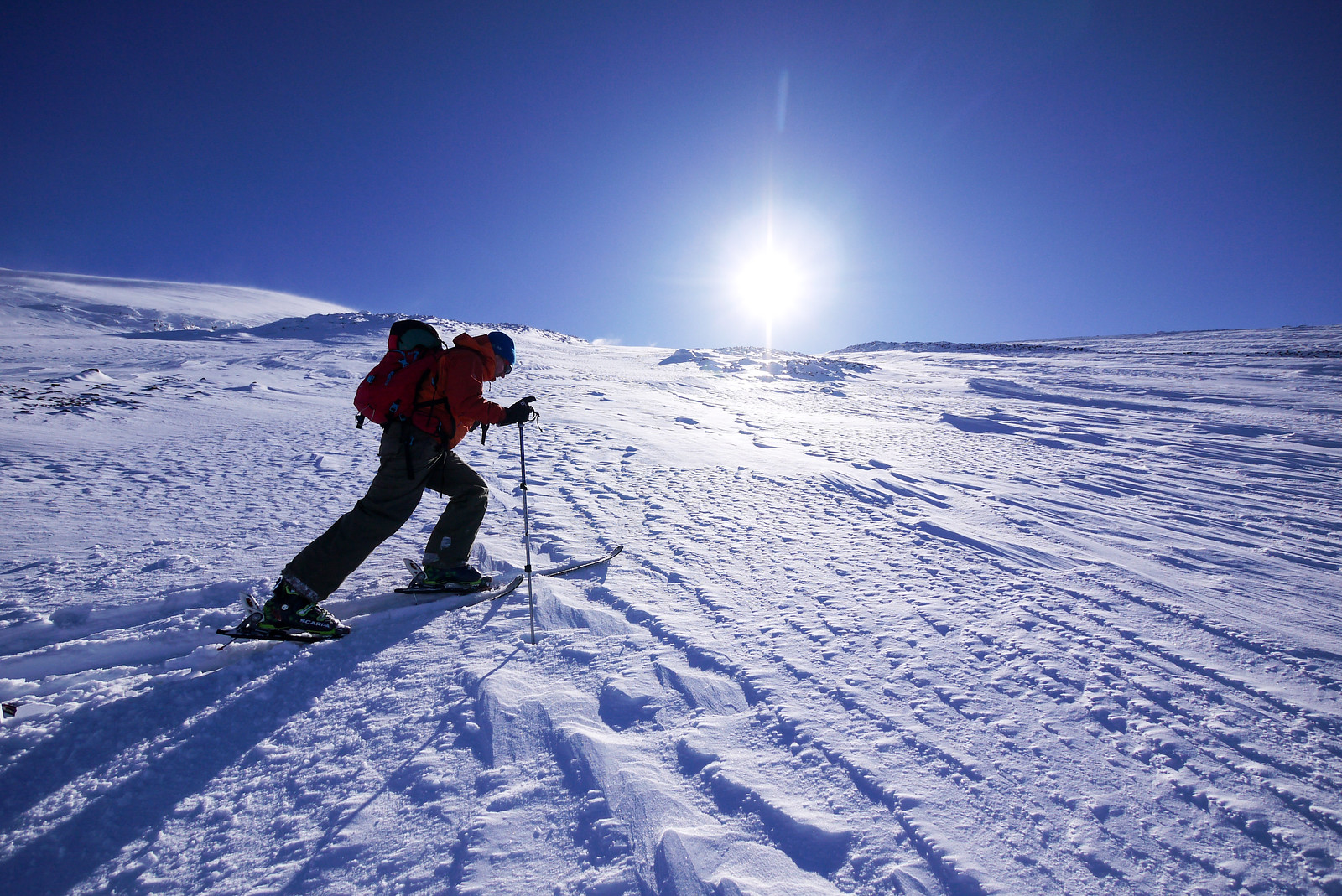
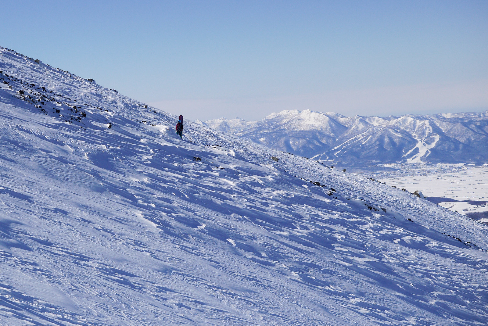
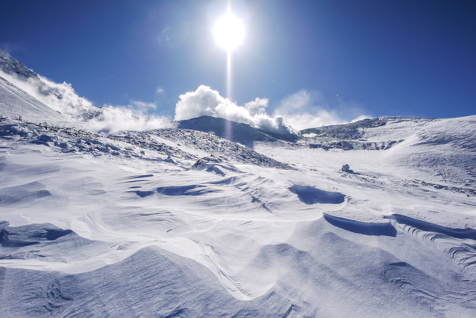
The weather forecast was for clear skies but strong winds all day in the area, so we were counting ourselves fortunate to even be able to be on the mountain at all. And the views were glorious.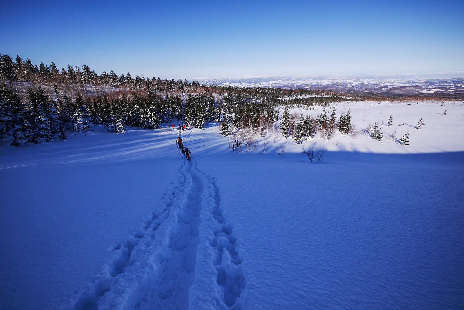
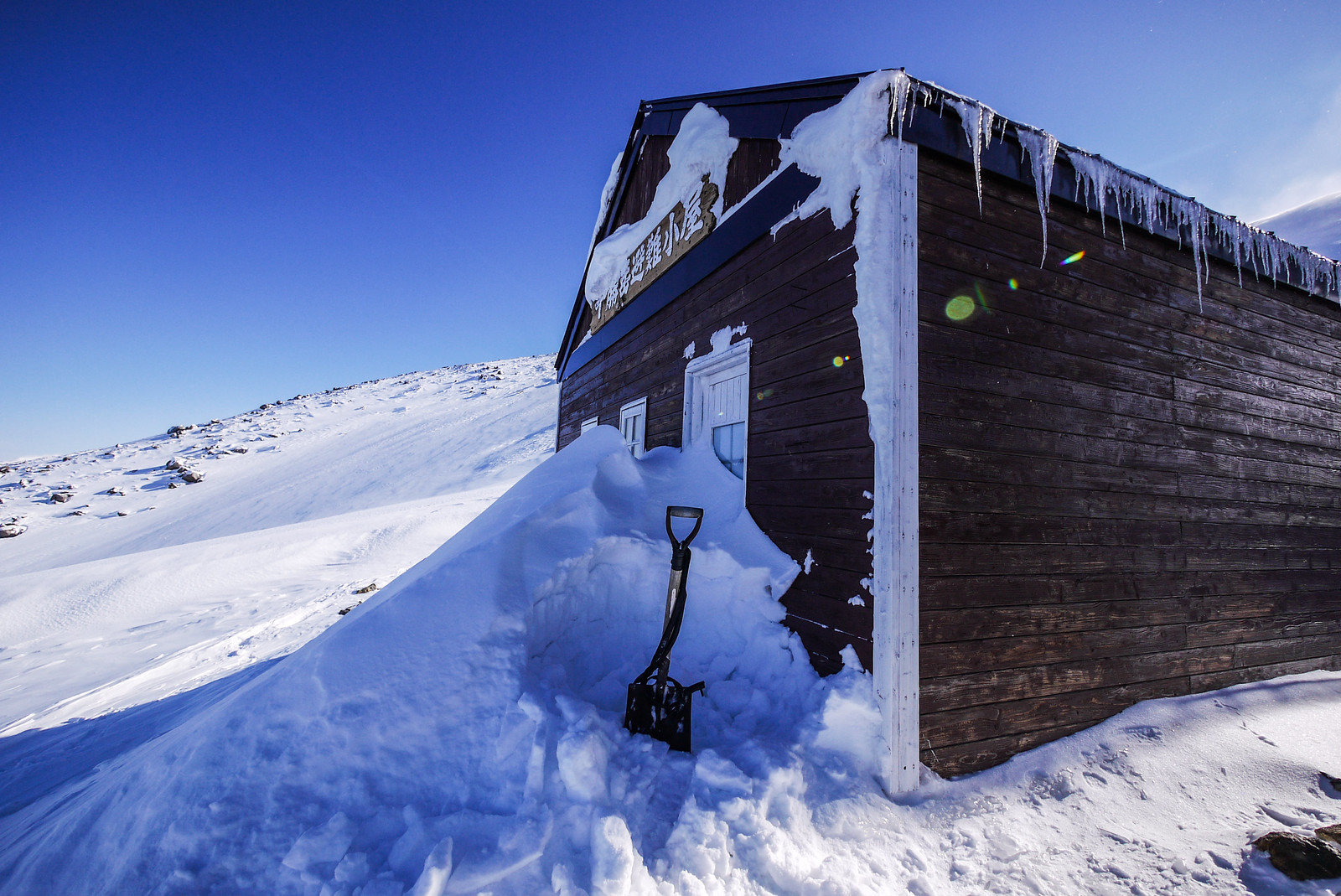
 For the most part, the snow was firm under foot all the way to the hut. I’d always wanted to check out the Tokachidake Hut, so I was happy to see that after shoveling the snow away from the door, it was unlocked and open for use.
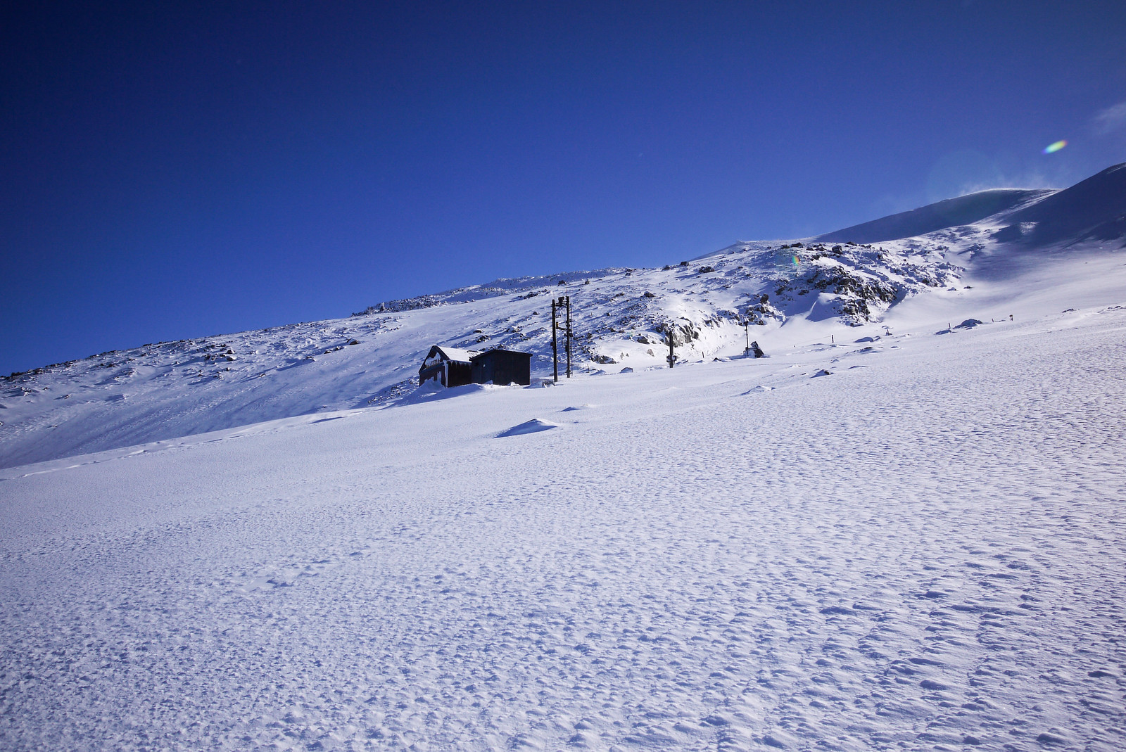
 There was some discussion about how there used to be a ski lift up to the upper bowls under the Taisho Crater. Later I’d learn that there used to be two lifts up to around where the hut is situated today, as part of the National Tokachidake Ski Area. This ski area was closed after the 1989 eruption, and lifts removed in 1999 (source).
From the hut, we carried on up towards the Taisho Crater area well to the east of the actual summit of Mt. Maetokachi.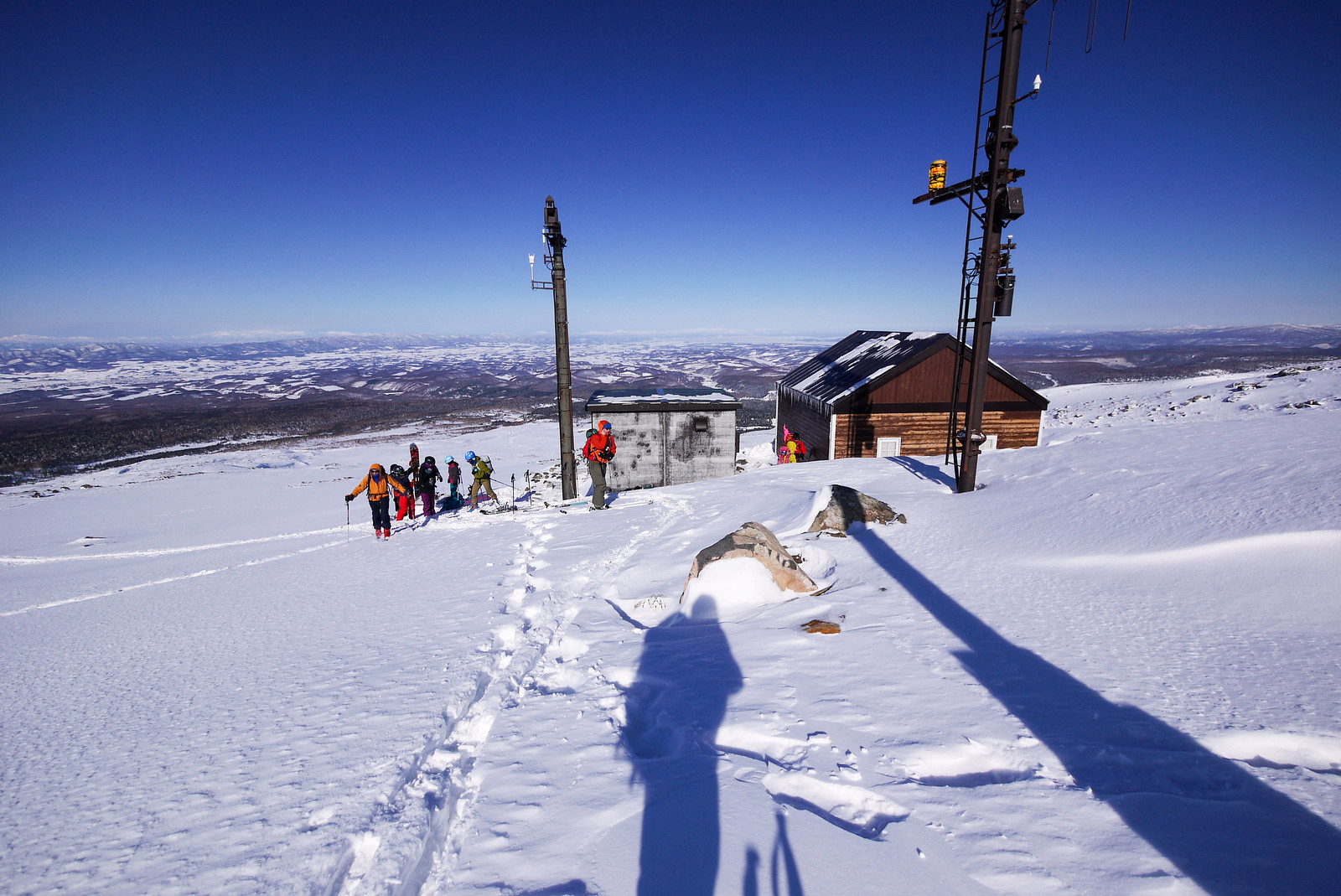
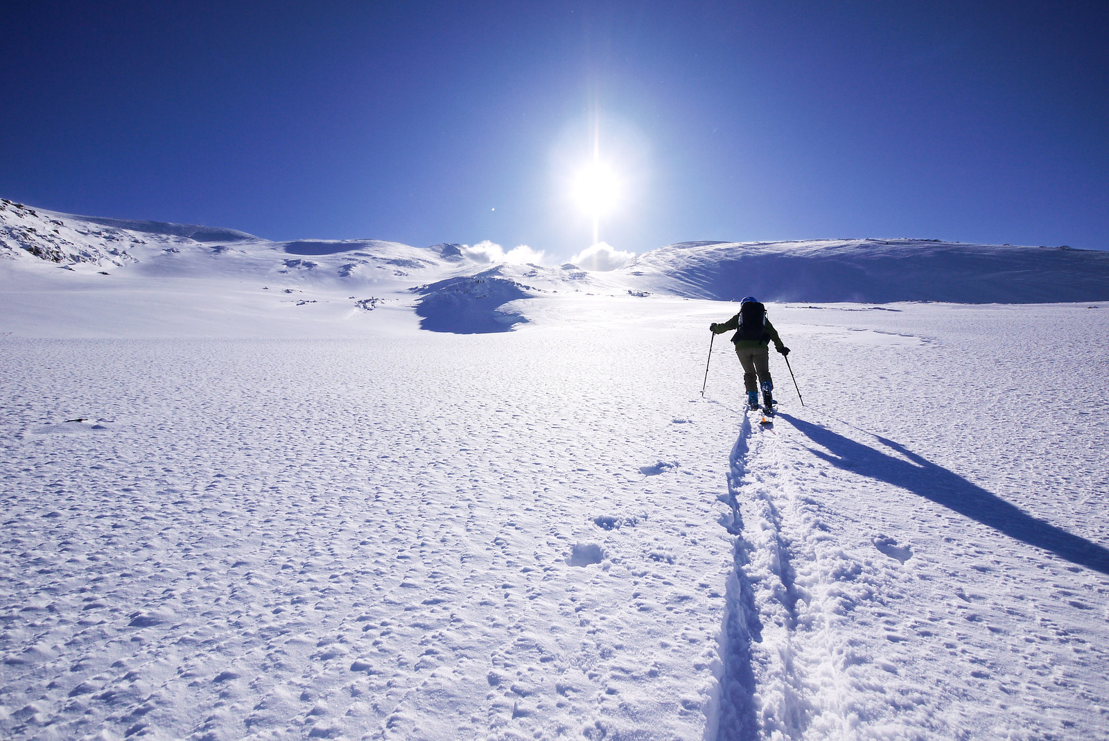
 The original plan from the hut was zig zag up the wide gully directly west of the large bowl above the hut, but as we got higher, hard, icy patches of snow got in our way. Not everyone was comfortable on those patches, so we traversed around to the bowl where the snow was softer.
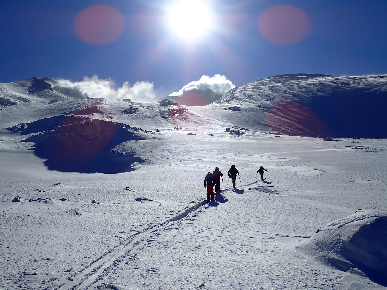
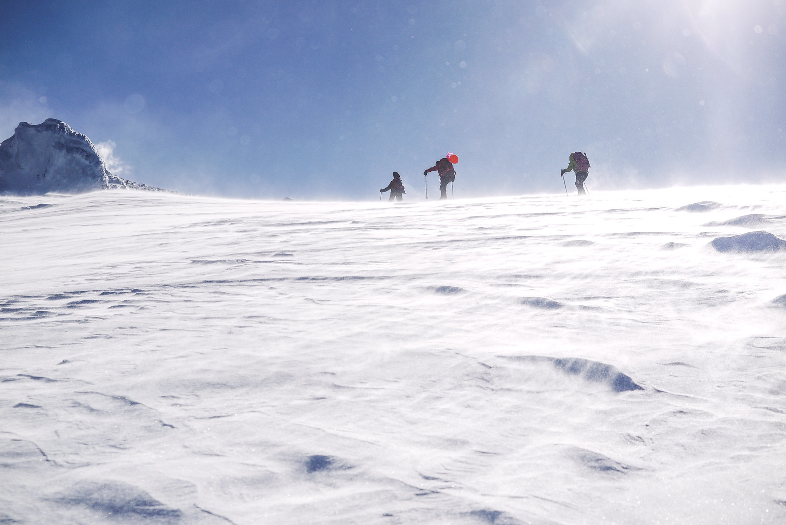
Going one by one, we made long climbing traverses up the bowl, slowly but surely gaining altitude.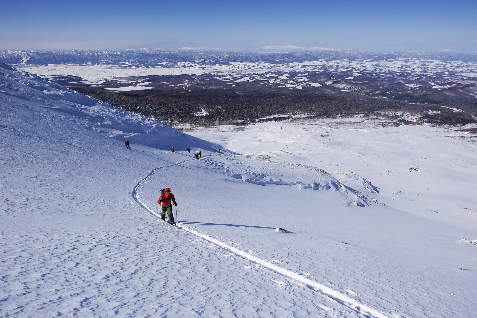 The two snowboarders in our party that were on snowshoes – Saoka and Geraldine – had the upper hand here. They were able to just stomp their way up the less risky, rocky ridges.
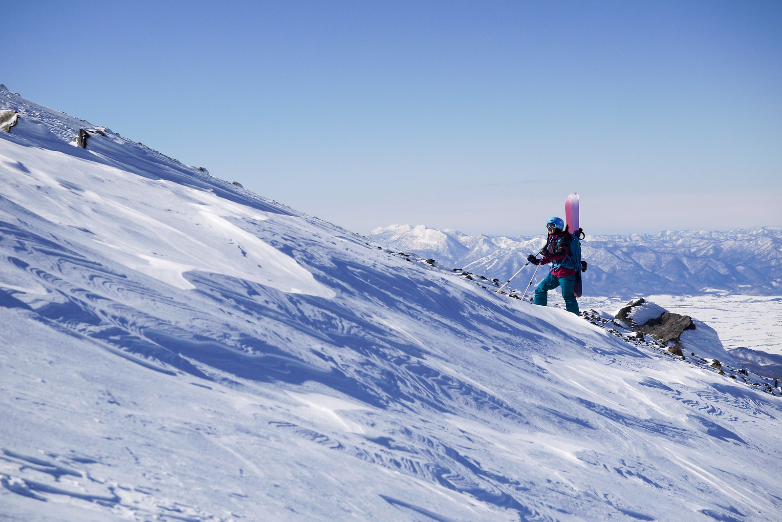
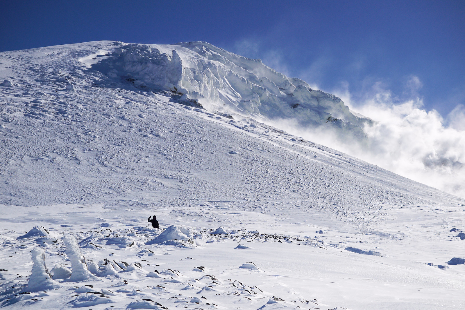
 We all converged on a small flat spot at the top of the bowl. At this stage, most in the party were ready to head back down to the hut. Alan and Emma would later remark that “we get icy conditions like this in Scotland all the time, but never as cold as this!”
Slightly further up, the Taisho Crater was billowing its 300°C steam, staining the ice and snow with yellow sulfur.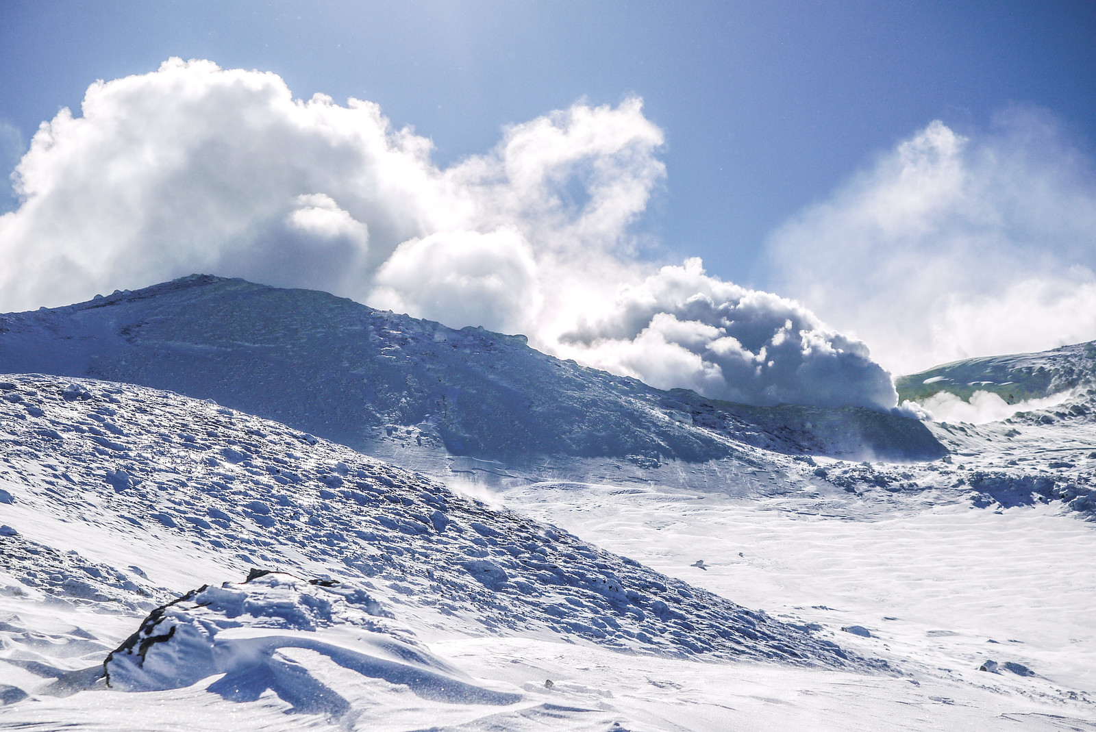
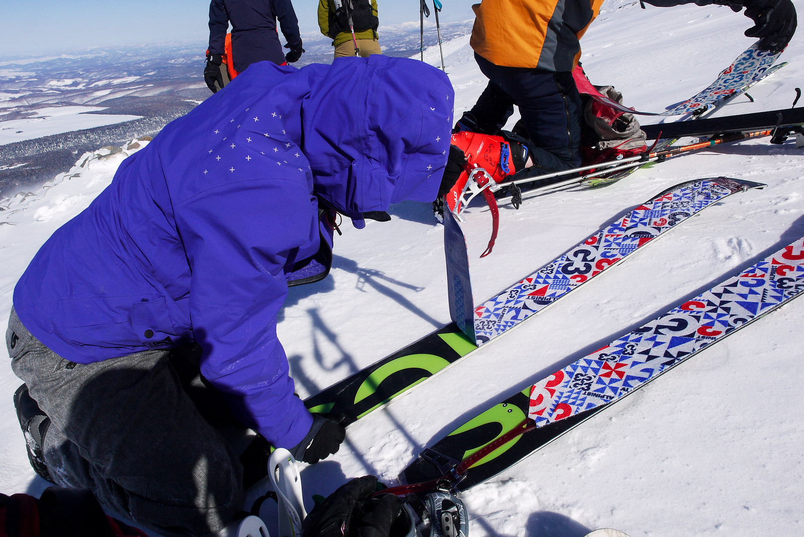
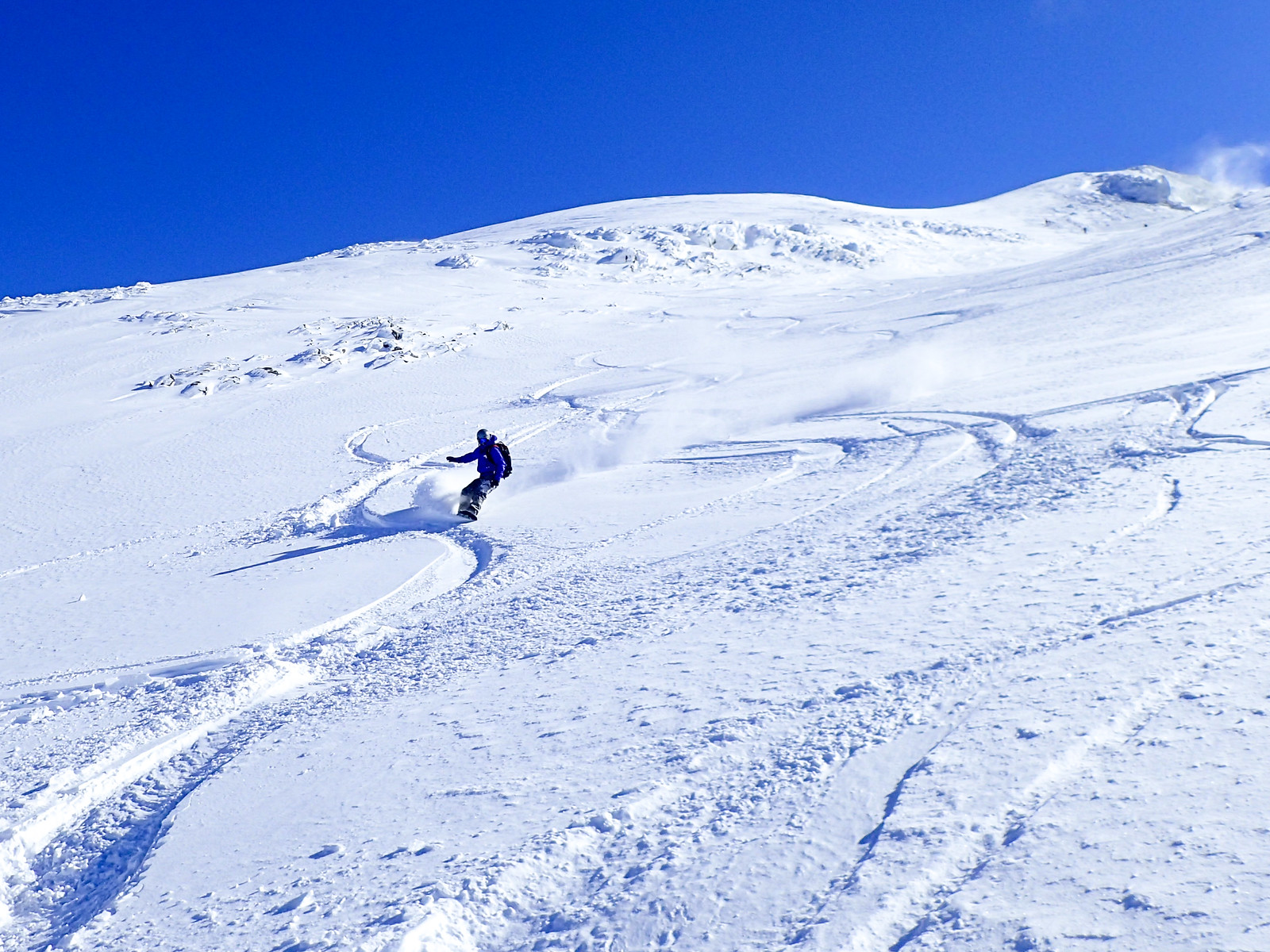
 After sorting out skis, skins, and splitboards, we took turns to ski down the bowl one by one. Alan took the lead, and showed us how it’s done.
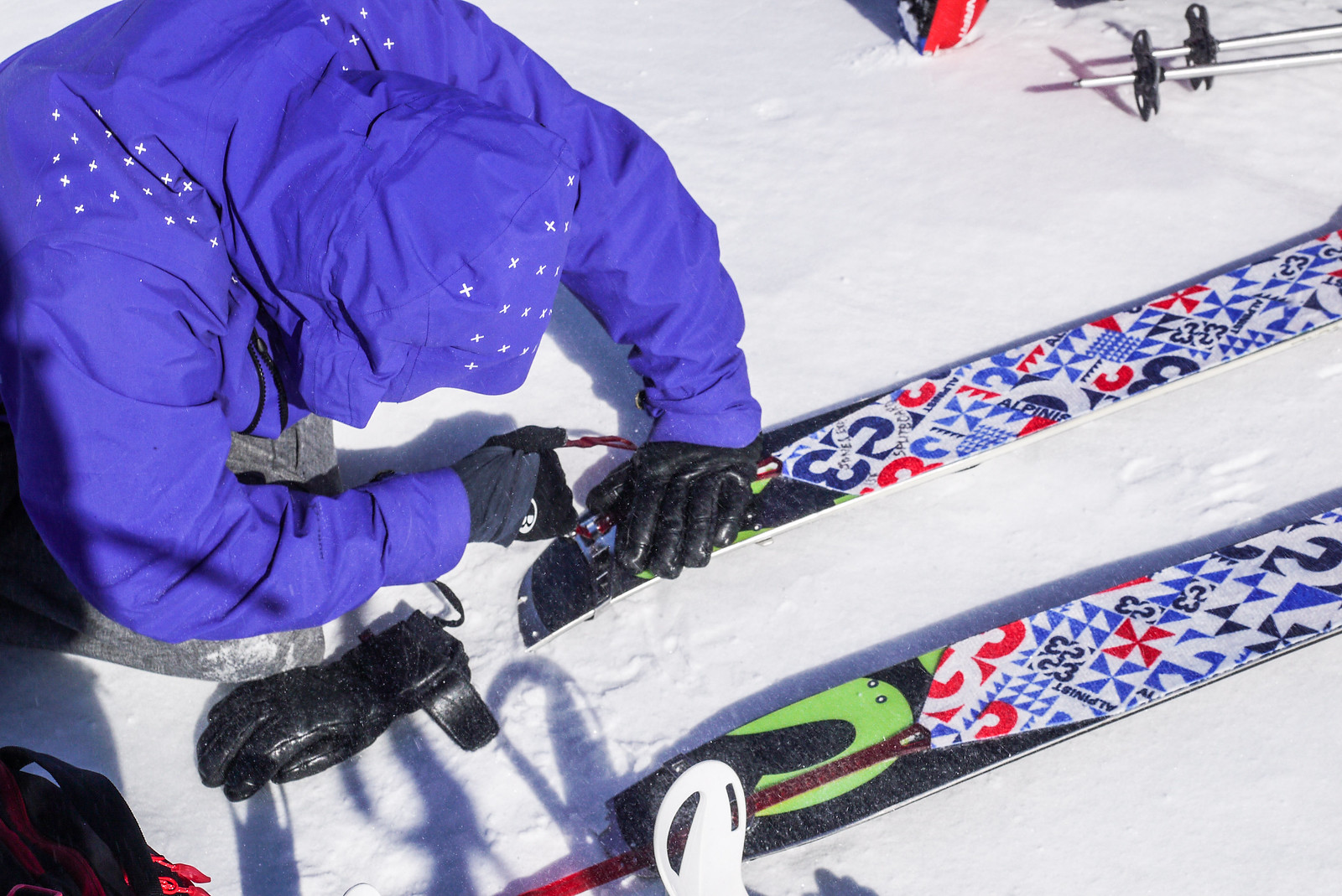
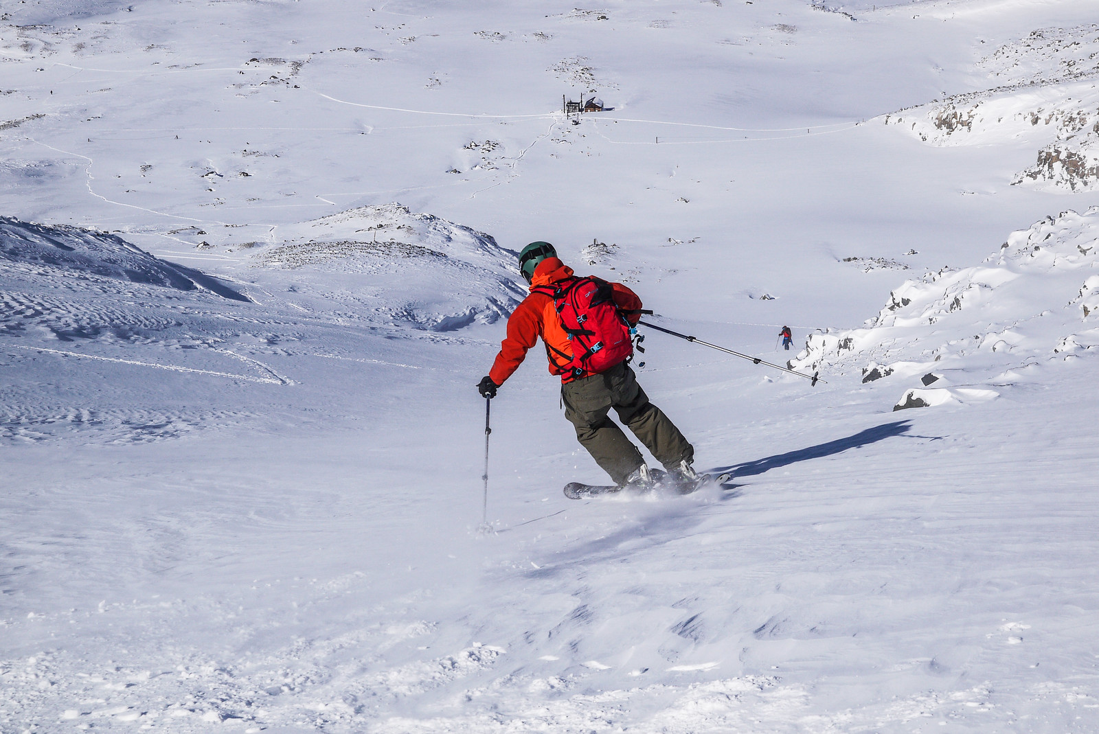
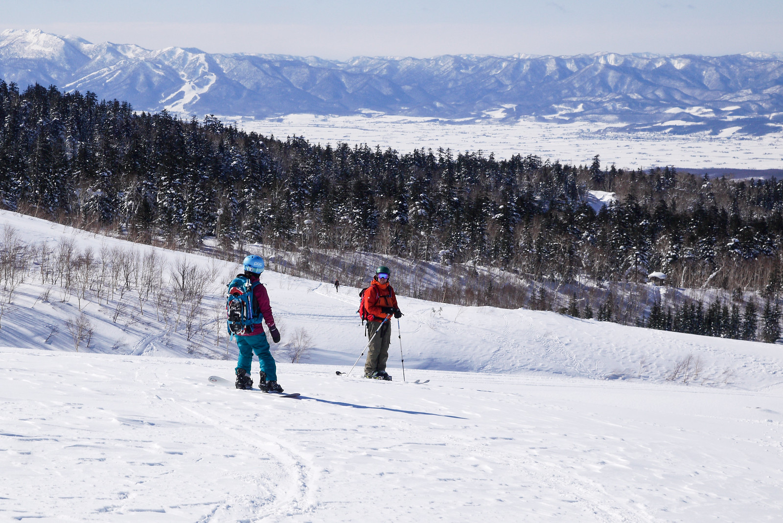
Once we were all safely back at the hut, it was just a matter of racing back down our skin tracks to the lodge, trying hard not to get too distracted by the ridiculous views.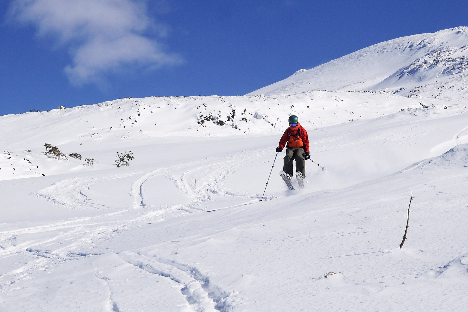
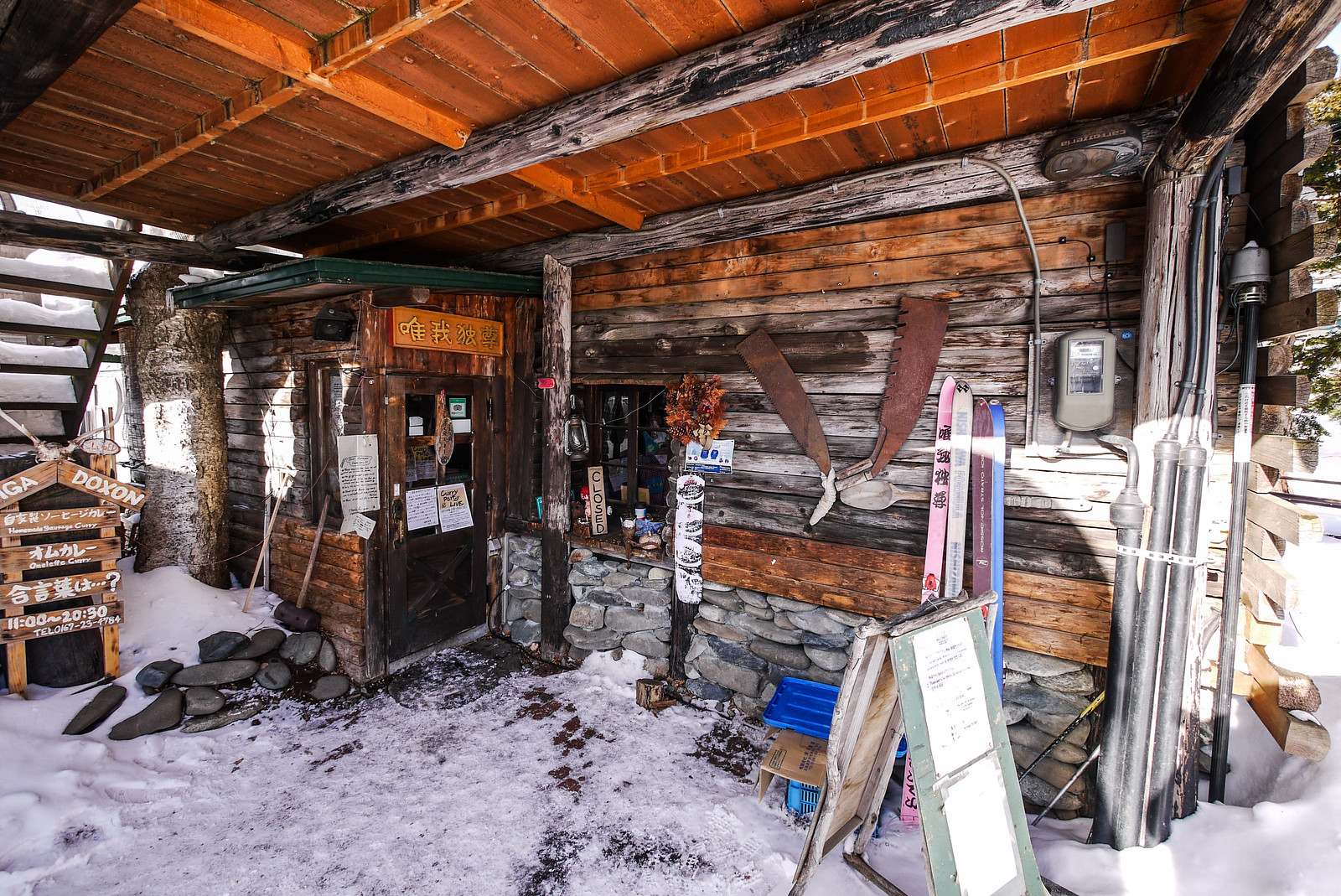
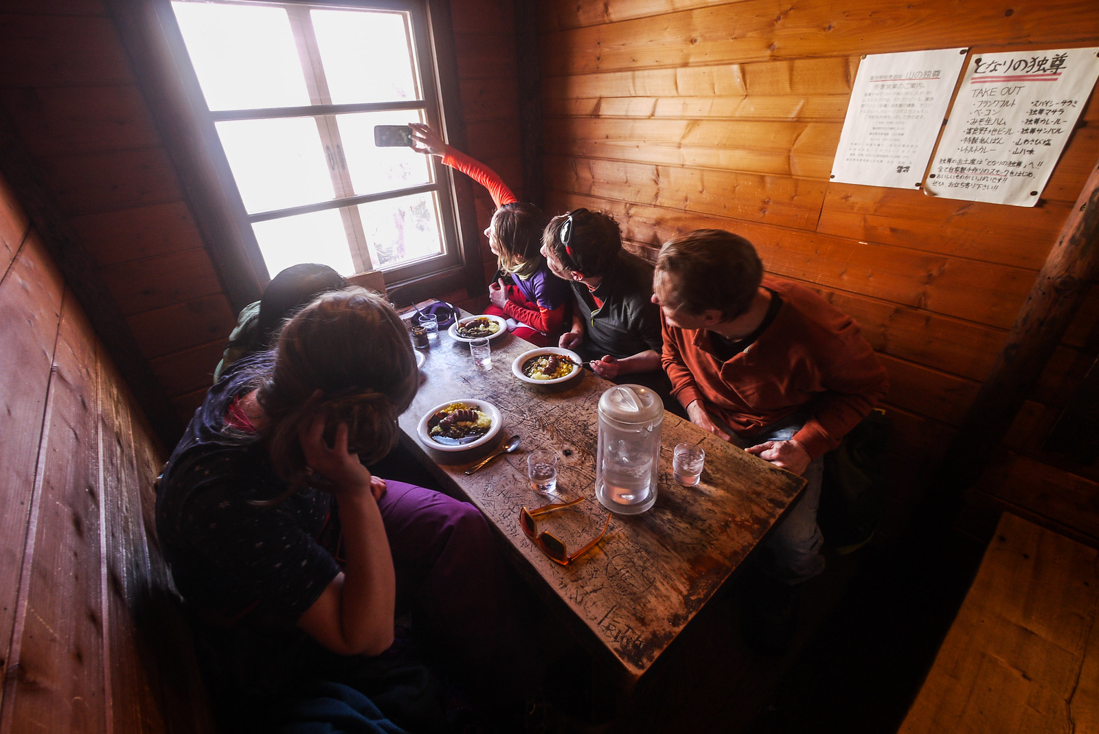
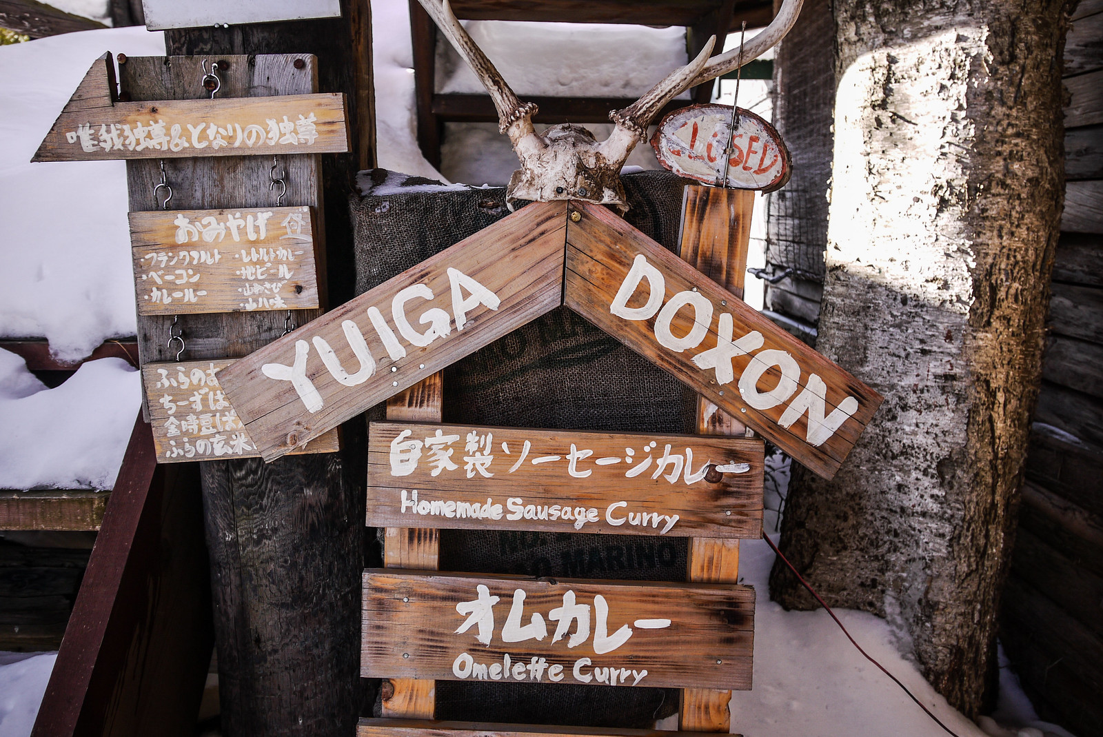
 We arrived back at the lodge at just after noon, and made a quick turnaround because we wanted to get to Furano City to have lunch at a curry restaurant – Yuiga Doxon – recommended by both Saoka and Alex. We managed to get to the restaurant at around 1pm, and it was well worth the drive. Amazing home-made sausages on a unique curry rice, and as many free refills of curry sauce as you can handle.
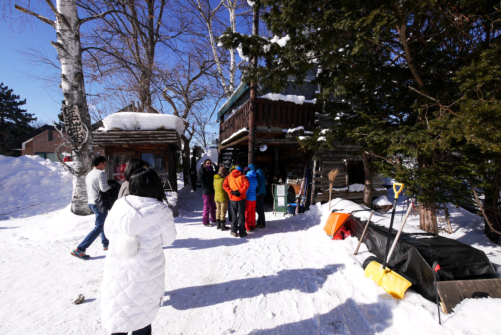
 [/vc_column_text][/vc_column][/vc_row][vc_row][vc_column width=”1/12″][/vc_column][vc_column width=”10/12″][vc_column_text]Thus concluded a very enjoyable backcountry ski touring weekend in the Tokachi Range. Alan and Emma thanked us all for welcoming them into the fold, despite being complete strangers. I just reminded them that my intentions were entirely selfish – now I know who to call if I ever find myself in Scotland in the winter 🙂


