Posted on Feb 11, 2017
0
NE
Posted on Feb 11, 2017
0 0
NE
5km

Distance

4 hours

Time

448m

Ascent

968m

Highest point

4.5/10
Difficulty
Snow Icon | Hokkaido Wilds
Feb-Apr

Best season

Mt. Okotanpe (オコタンペ山 – 968m) is classed as a beginner’s mountain in the guidebook. This is probably a reasonable description if you are on snowshoes. If on skis, you’ll want to be confident of your steep uphill zigzagging and steep downhill tree-dodging skills, such that I’d class it more as an intermediate hill. We made it about half way up before calling it a day and heading back down. That said, even from half way up the route, there are great views over Lake Shikotsu and Chitose City. It is a fun, compact mountain with a clearly defined ridge to follow.

Last updated Apr 2, 2021

Route Map

Photo Gallery

Need to know details

Location

This route is just north of Lake Okotanpe, on the northern side of Lake Shikotsu, about 1.5hrs drive south from Sapporo City. The trailhead is here.

General notes

While this route is included in the Hokkaido Yukiyama Guide – which is a guidebook for backcountry skiing in Hokkaido – this route does pass through fairly thick stands of trees most of the way. The summit will allow for great views across the Lake Shikotsu caldera, however, so if you’ve only got half a day to do some exploring, this is a worthy destination.

Hut
None
Route details

This route is not marked.

Route Timing
Up | 2.5hrs
Down | 1.5hrs

Transport

Public transport:

There are no public transport options to the start of the route.

By car:

Jump the curb and park your car either on the sidewalk near the entrance of the forestry road (here), or if visiting later in the season, the forestry road may be clear enough to park on the side of that road.

Physical maps
Official Topo Map: Eniwa-dake (恵庭岳) – map no. NK-54-14-12-3

NOTE: The official 1/25000 topo map(s) above can be purchased for 350yen from Kinokuniya bookstore next to Sapporo Station or online (in Japanese).

Aspect
The main aspect skiers are exposed to on the descent and/or ascent is Northeast. Therefore, keep an eye on the weather forecast a few days ahead of your trip to monitor wind, snow, and temperature. Also, since this route is in the general vicinity of the Shiribeshi area, consider looking at the Japan Avalanche Network avalanche bulletins (updated Tuesdays, Thursdays, Saturdays at 8am) or the daily Niseko Avalanche Information website. These may give extra insight into avalanche conditions in the greater area around the route.

Snow and
route safety

From the guidebook – Keep clear of the large cornices on the eastern side of the ridge from 746m to around 880m. Best to keep within the trees on the westward side of the narrow ridge. Same goes for the cornices on the northern side of the summit ridge above 920m.

  • Notify the police of your backcountry plans online using Compass – instructions here.

Okotanpe-yama Backcountry Skiing Difficulty Rating

Category

Grade

Points

Strenuousness

Vertical Gain

C

30

Time ascending

C

3

Technicality

Altitude

B

6

Hazards

C

6

Navigation

D

0

Totals

45/100

GRADES range from A (very difficult) to D (easy).  More details here. Rating rubric adapted from Hokkaido Yukiyama Guidebook 北海道雪山ガイド.

Weather forecast

Windy.com weather forecast for Okotanpe-yama
Onsen nearby

Marukoma Onsen is highly recommended – it is on the shores of Lake Shikotsu here. Like most onsen at Lake Shikotsu, day visitors are not admitted after 3pm, so make sure you get down in time.

Extra Resources

See the write-up (in Japanese) from p. 202 of the Yuki-yama Guide (ISBN: 978-4894538047). Also in the area, west of Mt. Okotanpe is Mt. Izaridake. The Mt. Izaridake route uses the same forestry road for access.

Guide Options

If you’s like to ski this route and/or explore other hills south of Sapporo together with a local certified guide, get in touch with either Wataru Nara or Yasuko Kikuchi. They’re both Hokkaido born-and-bred Sapporo-based JMGA-certified guides. They both cut their teeth on peaks including those around Sapporoa and have taken part in major international expeditions. In addition, see a full list of English-speaking Hokkaido Mountain Guides Association (HMGA) guides on the HMGA website here

Support us

Like this content? Buy the HokkaidoWilds.org team a coffee. 50% of tips go to the Hokkaido Wilds Foundation.

Show Full Route Notes Close Route Notes

Route Trip Notes

Route blurb from the Hokkaido Yukiyama Guide (2015), p. 202 (translated by Hokkaido Wilds)

It’s not named on the map, but while its trig point name is Ootanbetsu (大丹別), people tend to call it Okotanpe-yama. Perhaps that’s because it is right next to Okotanpe Lake. From the summit, excellent views can be gained over Lake Shikotsu’s caldera rim, including peaks such as Mt. Eniwa-dake, Mt. Izari-dake and others. Highly recommended for climbers on snowshoes.

I was on the lookout for a relatively easy, straight forward hill near Sapporo, so that Haidee could get some more practice in the backcountry. So, seeing that the guidebook classed Mt. Okotanpe as ‘beginner’, we cheerily headed out towards Lake Shikotsu, looking forward to some easy skinning and nice views on this sub-1,000m mountain. We also figured that because it was supposed to be such a straight forward hill, we’d be up and down it in time for an onsen, and then meeting Haidee’s brother at the Lake Shikotsu Ice Festival in the evening.

We did manage to get an onsen in and meet Josh at the ice festival, but the Okotanpe climb did not pan out quite like we had planned. The first challenge was getting the car parked up on the sidewalk next to the forestry road entrance. We finally got our small 4WD rented Toyota Vitz up with the help of gravity (pointing downhill) and snow piled up against the curb. We also successfully signed in at the start of the route, as all responsible mountain-goers should.

The route up Mt. Okotanpe starts to the left about 50m past the gates to the forestry road, just after the sign-in box. This seems to be a very popular route, so you’ll likely be following snowshoe tracks for most of the way. The first 200m or so is fairly sedate, passing through a small area of well-spaced small trees.

Soon enough, the steep climb begins up to where the ridge flattens out at 746m. By steep, I mean at least 30 degrees in many places, requiring a lot of zigs and zags, and some very sharp kick-turns. As insult to injury, when we were there, new snow had not fallen for about a week, so the snow was slippery, with skins not holding traction very well.

Once above the 746m mark, there was evidence of substantial cornices, and when we were there, parts had moved, exposing the sasa bamboo grass under the snow. We kept to the westerly side of the ridge, among the trees.

It was not much past this point that we decided to head back down. It had taken us much more time that anticipated to get to this point, and not going to an onsen was not really an option. We needed to get back down to the car ASAP so that we’d make it for the 3pm closing time of Marukoma Onsen.

Haidee’s comment on the way down summed up her experience on the steep, crowded-with-trees slope: “Look at me, I’m backcountry grooming,” she said as she side-slid down the slope. “I feel so bad for flattening out the upward track,” she grimaced. But there was nothing to be done for it. She did well to get down on her skis, and was much more at home on the lower slopes where the trees were more sparse and the gradient not as steep.

I am by no means an expert skier, but I found the going easier, reveling in the tight quarters and steep terrain. The guidebook’s “beginner” rating may refer to if you’re on snowshoes. On skis, you’ll either want to be accustomed to skiing in heavily wooded slopes, or be keen to hone your skills on such a slope.

 The happy ending was that we did make it in time for the 3pm closing of Marukoma Onsen to day visitors. Marukoma Onsen is known for its outdoor pools where the water level of the pools changes according to the water level of Lake Shikotsu. It really is a special place.

Epilogue

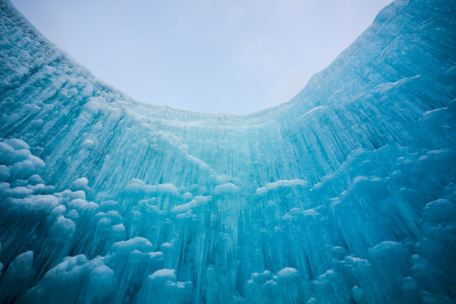
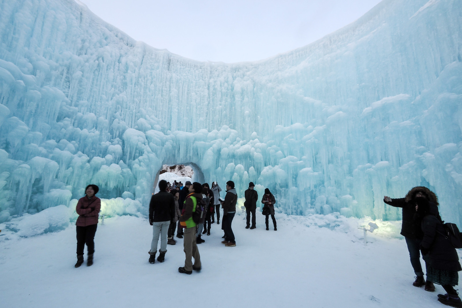
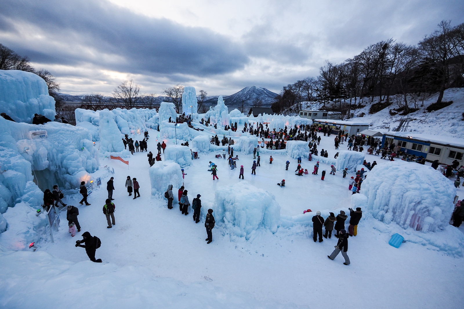
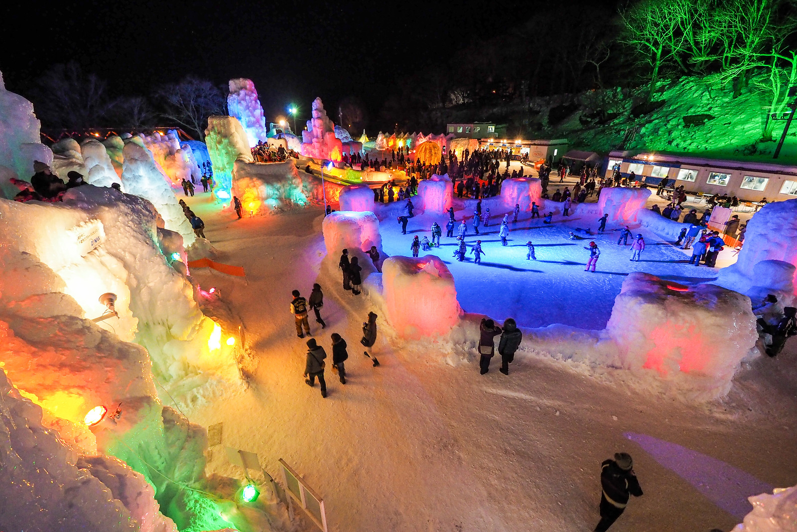
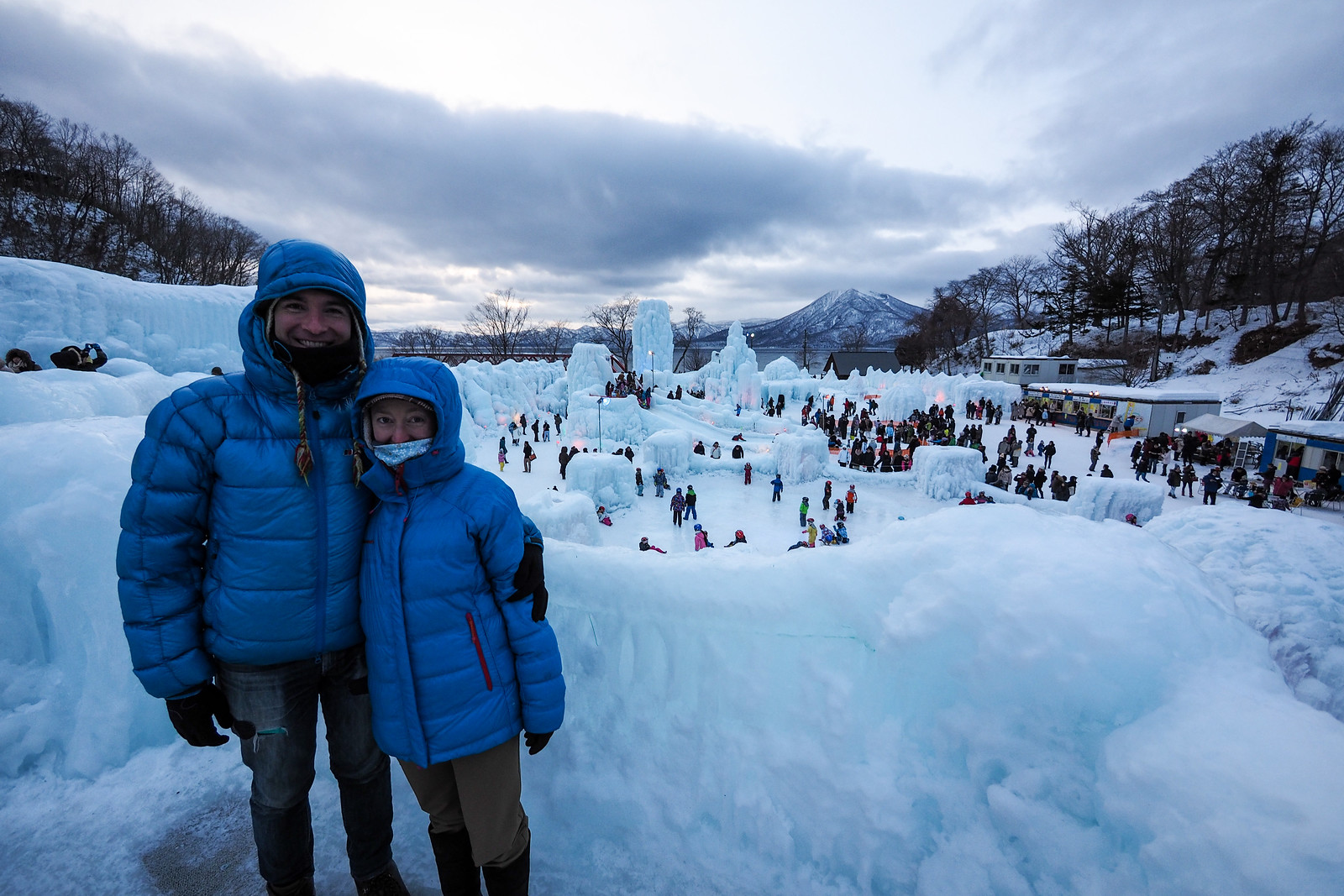
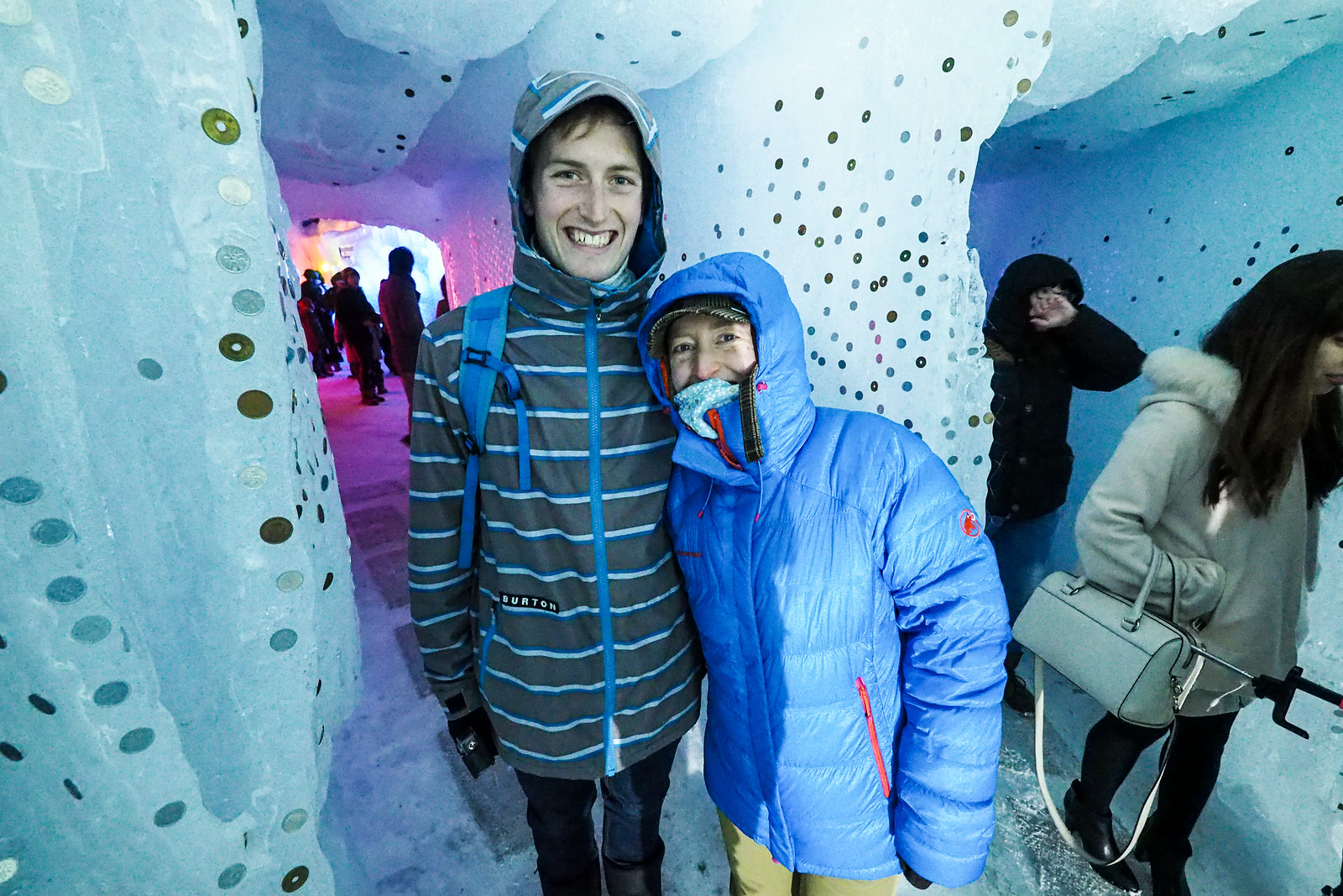
Perhaps the highlight of the day, however, was the Lake Shikotsu Ice Festival. Each year the Shikotsu Village puts on the festival, akin to Sapporo’s snow festival. The difference is that the ice festival is a little more raw. A real labor of love for the villagers, who spend almost 4 months preparing the framing and spraying water on it to form some incredible ice formations.

Lake Shikotsu Ice Festival (Hokkaido, Japan)

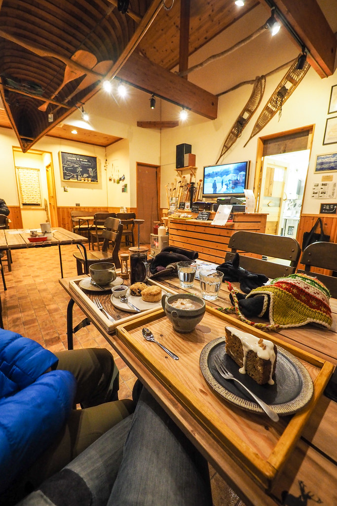
Haidee’s brother was a little late in arriving, but we made the most of it. The best of the cafe’s we sampled while waiting was the canoe tour outfit Kanoa – they convert their canoe tour operation into a cafe in the winter, and do an amazing hot chocolate (location). A perfect way to end a very nice Saturday outing!

Lake Shikotsu Ice Festival (Hokkaido, Japan)

Comments | Queries | Reports

Done this route to Okotanpe-yama, or others nearby? Thinking of doing it? Please post any feedback, reports, or queries here. Thanks!

Leave a Reply

Your email address will not be published. Required fields are marked *

This site uses Akismet to reduce spam. Learn how your comment data is processed.

See More Like this

Printable Okotanpe-yama Topomap

TOPO DOWNLOAD (PDF, 22.5MB)

Download may take some time

Hokkaido Wilds Foundation

We’ve got affiliate links on HokkaidoWilds.org to help fund the Hokkaido Wilds foundation.

The Foundation gets a small commission on sales from affiliate links, but we only link to stuff we think is worth checking out for people keen on the outdoors in Hokkaido and Japan.

The Hokkaido Wilds Foundation is a fund where 100% of funds are donated to Hokkaido volunteer groups involved in sustainable, safe, and responsible access to the Hokkaido outdoors.

Learn more here

ADVANCED FILTERS

Filter by location

About Filters

REGION: The general mountain/geographical region the route is in.

BEST MONTH(S): Time of year a route is suited to visiting. Some pop all season, some are more limited.

DIFFICULTY: How strenuous a route is, and how technical it is. Full details here.

FREERIDE/SKITOUR: Very subjective, but is a route more-of-a-walk-than-a-ski or the other way around? Some routes are all about the screaming downhill (freeride), some are more about the hunt for a peak or nice forest (ski-tour). Some are in between. 

MAIN ASPECT: Which cardinal direction the primary consequential slope is facing, that you might encounter on the route. More details here.

ROUTE TAGS: An eclectic picking of other categories that routes might belong to.

SEARCH BY LOCATION: You can find routes near your current location – just click on the crosshairs (). You may need to give permission to HokkaidoWilds.org to know your GPS location (don’t worry, we won’t track you). Or, type in a destination, such as Niseko or Sapporo or Asahikawa etc.

Please let us know how we can make it easier to narrow down your search. Contact Rob at rob@hokkaidowilds.org with your suggestions.

Okotanpe-yama Backcountry Skiing Difficulty Rating

Category

Grade

Points

Strenuousness

Vertical Gain

C

30

Time ascending

C

3

Technicality

Altitude

B

6

Hazards

C

6

Navigation

D

0

Totals

45/100

GRADES range from A (very difficult) to D (easy). Hazards include exposure to avalanche and fall risk. More details here. Rating rubric adapted from Hokkaido Yukiyama Guidebook 北海道雪山ガイド.