


It was only a couple of weeks ago that I was up at the Ginreiso Hut at the foot of Mt. Haruka (blog post here), but even then I was eyeing up another backcountry hut, the Yama-no-ie Hut directly due south of the summit of Mt. Okuteine (full route map and GPS file at the end of this blog post). Mt. Okuteine is just along a ridge from Mt. Haruka, and also offers some fairly straight forward navigation up to some expansive views over Ishikari Bay. And all of this still within the Sapporo City limits.
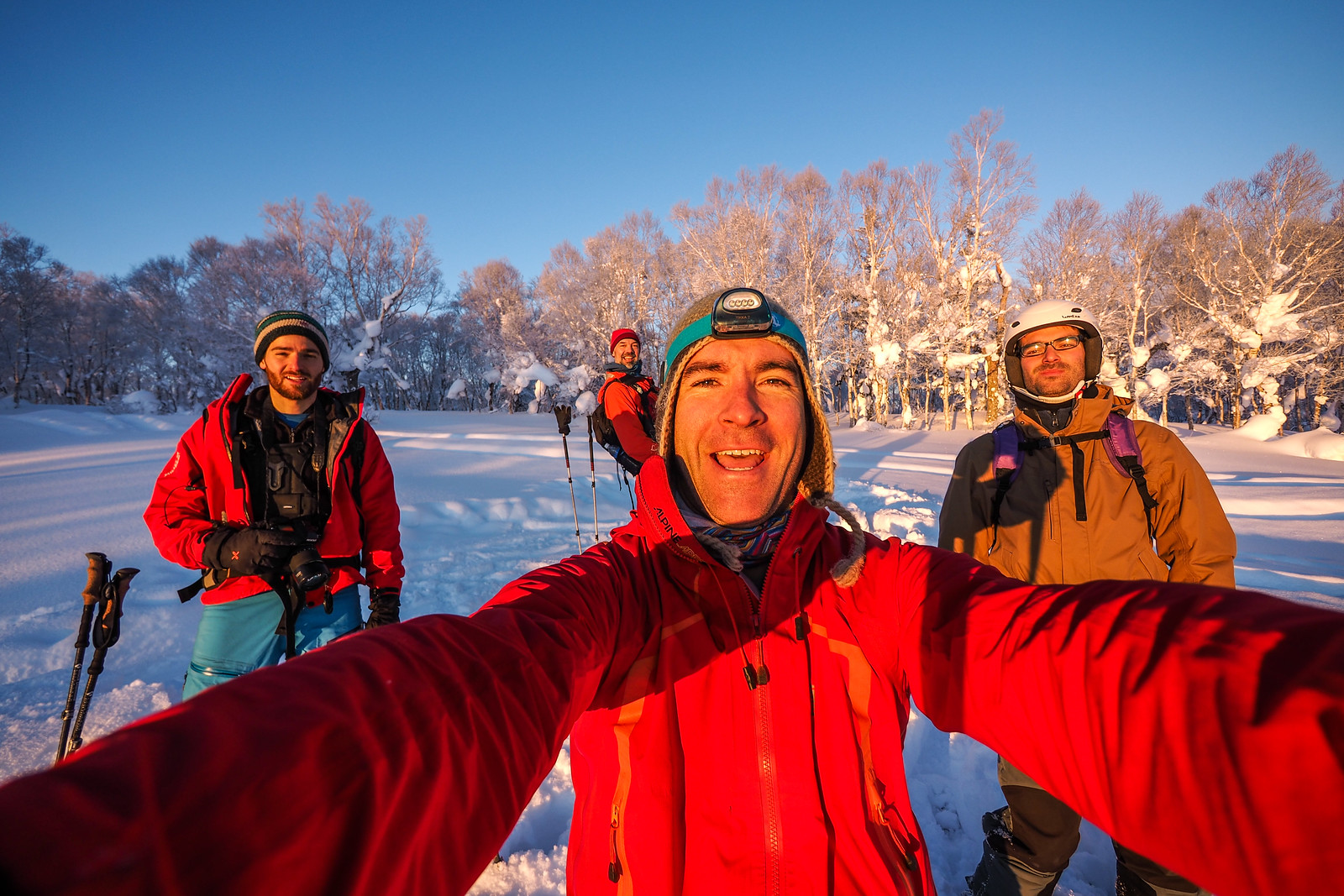
Joining on this trip was Dirk, as well three Europeans I’d never met before until a couple of days before the trip: Mathieu and his brother Vincent, both French, and their longtime Greek-but-living-in-France friend Angelo. Mathieu had gotten a hold of me via Warmshowers.org, since he had, up to coming up to Hokkaido, been on a two-year long cycle journey around the world. The plan was to take three weeks out of the cycling journey, hire a car with the other two, and do some ski touring in Hokkaido. The timing of their arrival perfectly coincided with the Mt. Okuteine trip that Dirk and I were planning. So for me, this weekend long trip ended up being an opportunity not only to show some visitors some quintessential Sapporo winter hills, but also help orient some travelers on the finer points of traveling in Japan.
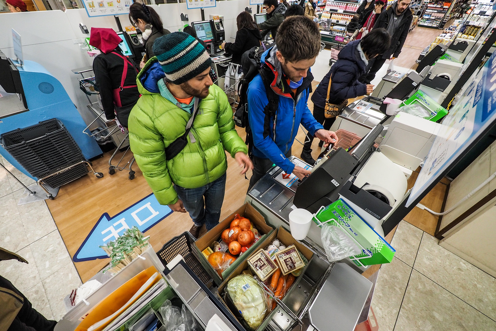
This naturally began with taking Mathieu and co. to the local supermarket (Chitose Aeon Supermarket – location) to buy supplies for their three week trip…
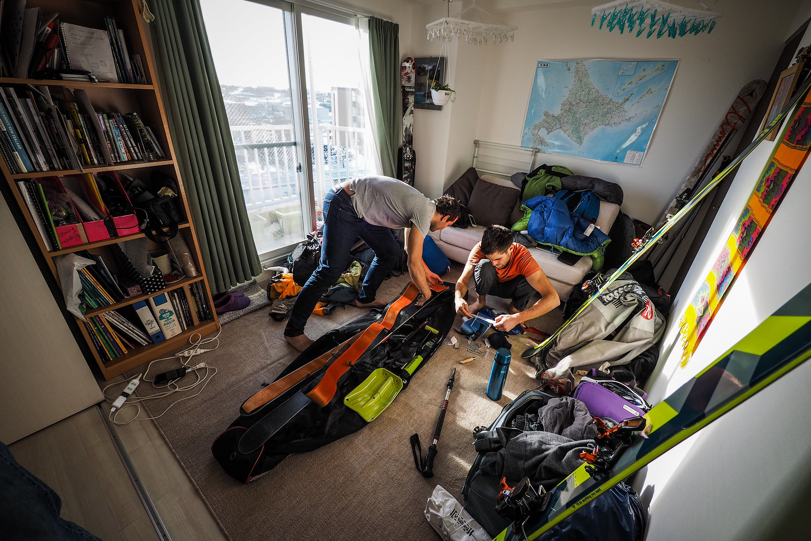
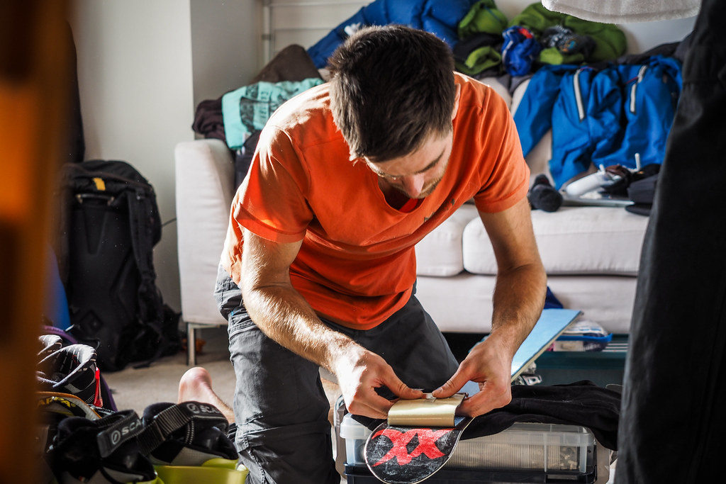
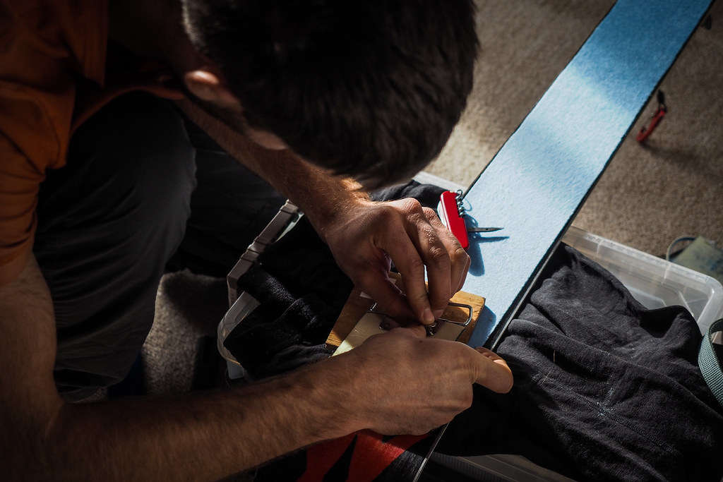
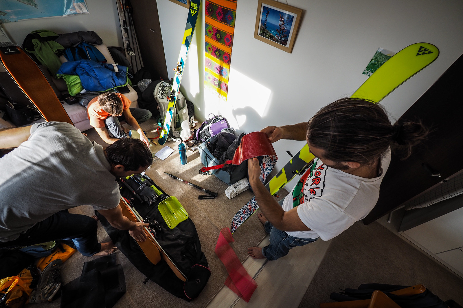
And the three of them commandeering our spare room to stay the night before the trip and prepare their ski gear.
The next morning was an early start for us all from Chitose City. We had arranged to meet Dirk in Sapporo at 7:30am on the way to Lake Sapporo, where we would park the car and start the ski up Mt. Okuteine and to the hut. This meant leaving Chitose bright and early at 6:30am. All the preparations of the previous days paid off, however, and we made it to Sapporo only half an hour late, and were at the trailhead by just after 9:30am.
TOP TIP: The parking area is here (https://goo.gl/maps/qqbcqYrmGe32).
By the time we left the car park, a light snow had started to fall, which would continue while we trudged along the flat forestry road…And up onto the main wide ridge up to the peak of Mt. Okuteine.
Once we were at the top, however, the skies cleared and allowed a huge view over Ishikari Bay and the northern parts of Sapporo City. We didn’t stick around at the top for too long, however. Just enough time to gobble down a very quick lunch, before setting off due south for the Yama-no-ie Hut.
For the first time on a backcountry trip, I had downloaded a GPS tracklog from Yamareco.com, which more or less mirrored the route marked in the Hokkaido Yukiyama Guide (ISBN978-4-89453-804-7). Using this made navigation very straight forward, but I had a paper map in my pack just in case the electronics failed. Angelo was the chief navigator for the summit-to-hut route.
We arrived at the hut just before 2pm, which made it just over three hours from trailhead to summit to hut.
The Yama-no-ie Hut (literally ‘mountain house hut’) is officially managed by the Hokkaido University Wandervogel Club. Staff and students of Hokkaido University can use the hut for free, whereas the general public pay 80 yen a night (around $0.80 a night). Registration and payment to use the hut must be done in advance at the university. Call Hokkaido University on 011-706-7456 to book. Details on all the Hokkaido University wilderness huts are here: https://www.oia.hokudai.ac.jp/about/facilities/event-and-seminar-spaces/lodges-and-huts-2/. That said, Wandervogel club members are at the hut on Saturdays and Sundays from December till April, and on weekdays and outside of the winter period, the hut is unmanned but unlocked and free for use.
The hut is heated with a gloriously inefficient potbelly stove, fueled by coal. By inefficient, I do not mean that it does not heat the hut. If kept fueled, the stove will heat all three stories of the hut, with it’s long flue which runs the entire height of the hut in the middle of the open mezzanine floors. By inefficient I mean that there is next to no possible way to restrict air to the stove, which means that the stove is always running at full bore. Because we arrived at the hut before the club members, we decided to get the fire going to warm the place up. I managed to get the stove going using a mass of newspapers and half a bucket of coal (all supplied: every last piece of coal is lugged up the mountain by Wandervogel club members in the summer months and stored away for use during winter), but we soon found that if a whole bucket of coal is put into the fire, then that bucket of coal will be reduced to ashes in less than an hour. The three-story high flue draws a draft like nothing else.
After getting the stove running, four of us headed up the hill from the hut for a few runs of powdery skiing. And powdery it was. The hike up took about 20 minutes, and the ride down was over in less than two minutes, but it was all worth it.
When we arrived back at the hut, another 16 or so people had turned up. 6 in one group, 10 in another. This made for a rather chaotic evening of maneuvering around each other and tables and pots and dirty plates and hanging clothes and skins. On our menu was a Japanese hotpot nabe. The original plan was to have chicken and pork in the hotpot, but we realised at the trailhead that the box containing the meat, bread, and eggs for breakfast the next day had been left at our apartment. We had plenty of tofu and udon noodles though, so we made do.
Sharing our table was a group of Wandervogel OBs. “I graduated from Hokkaido University in 1974,” boasted one of them, already clearly under the influence of a mix of beer, Japanese sake, and whiskey. He, and most of the other Hokkaido University Wandervogel alumni were well into their 60’s but still made the pilgrimage to the hut on a regular basis.
Before heading to bed, Dirk floated the idea of getting up early the next day and skinning up to the ridge above the hut to see the sunrise. So we all headed to bed fairly early. And were summarily woken by Wandervogel OBs talking loudly into the wee hours of the morning…
It was definitely worth getting up early for the sunrise, however. I initially found myself half asleep as we trudged up yesterday’s traces, now covered in a few centimeters of new snow. However, I think it was Dirk’s shriek of delight that brought my attention to the vibrant pink that they rising sun was painting the snowy landscape with. It was like nothing I’ve ever seen.
We were all over the moon.
We celebrated by skiing back down to the hut on the famed “Utopia Piste” (yutopia gerende). This is a 400m or so long cleared path with a nice gradient, perfect for a few turns in delicious powder.
After a breakfast of left over hotpot, heated on the roaring coal-powered potbelly stove, we headed out on a route for Mt. Tsuge, suggested first by Mathieu. This peak was more or less at the same altitude as the hut, and the maps suggested that we’d be able to get there with some traversing around the contours of the land. Furthermore, it was in the direction of the carpark, so it was well and truly on the way back down. As it happened, it turned out that the group of OBs were also planning to head up to Mt. Tsuge, so we’d likely see them at the top.
What was clear from the start of our second day, was that it was going to be amazing weather. After having a few recent ski trips with either grey weather or snow, it was very refreshing to have contrast again.
It wasn’t all super easy going, however, and the contours of the land kept us on our toes as Mathieu steered us around bluffs and gullies.
Editor’s note: The route we took was a contour-line-hugging route around from the same elevation as the hut. The route outlined in the GPX file attached to this route guide is a much safer, much less strenuous traverse across the ridge from the top of the Yutopia Piste to Mt. Tsuge.
Before long we found ourselves on the main ridge leading to Mt. Tsuge, and taken aback by the amazing view towards Mt. Muine above Jozankei and clear crisp blue skies. I really can’t get enough of those craggy trees and their bulbous accumulations of snow.
At the top we posed with the members of the old guard, before hurtling back down towards the direction of the car park.
The idea had been to try to get as far back to the car as possible without having to push too much along the flat forestry road, but in the end we did find ourselves pushing for 20 minutes or so from where we dropped out of the gradient onto the valley floor.
So many thanks to Mathieu, Vincent and Angelo for making it such a memorable trip!


2 thoughts on “Okuteine-yama, Yama-no-ie Hut and Tsuge-yama”
Hey,
Thanks very much for publishing your blog posts. Up to discovering your page we have found very little backcountry resources in the area, so this is super helpful!
Regarding the Yama -no-ie hut, does it have cooking stoves available for use other than the potbelly?
Thanks again,
R
Hey Rob, thanks for the encouragement!
As for your question, I’ve updated the hut info: “There are no cooking facilities apart from the coal stove, so you’ll need your own gas/portable cooker if you want to heat things quickly.”
Thank you for requesting clarification – it is inquiries like this that refine these route guides, so much appreciated!