We were on a week-long holiday on the eastern side of Hokkaido, and naturally had to drive all the way back to Sapporo, so why not go via Asahidake Onsen? The days before Mt. Asahi included an overnight hut trip ski tour on Mt. Mokoto near Lake Kussharo. We had amazing weather on the second day there (trip report and route guide here), so we were hoping for more of the same on Hokkaido’s rather unpredictable highest mountain.
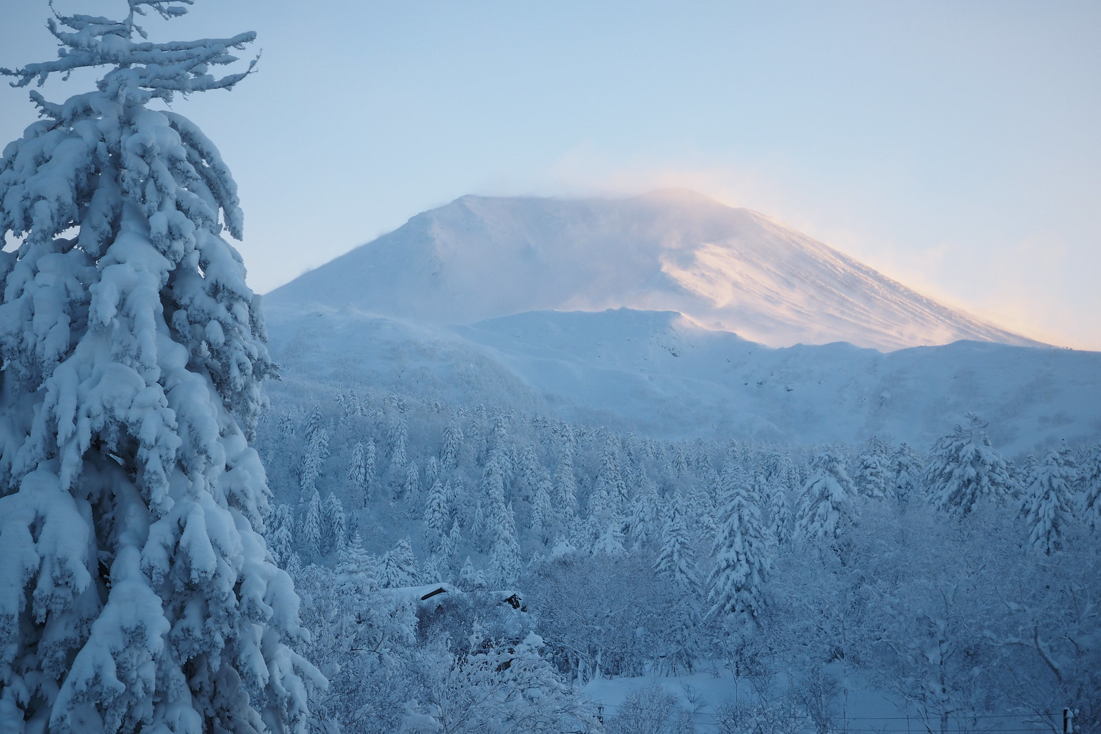
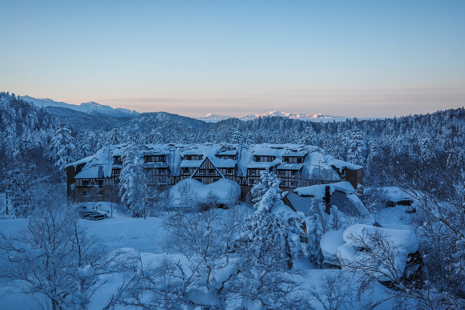
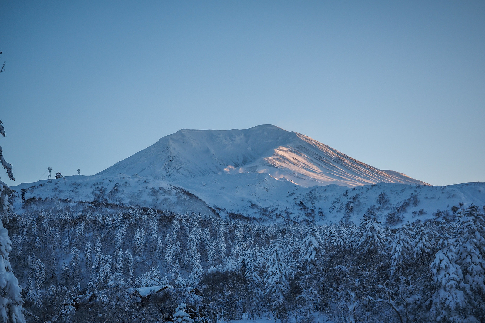
We stayed in Asahidake Onsen village (resort?) at the Shirakabaso Youth Hostel (the cheapest but slightly overpriced accommodation in town), and woke to clear skies. A quick look at Mt. Asahi from the youth hostel viewing platform, however, suggested that conditions at the top of the Asahidake Ropeway were not going to be great. It looked to be blowing a gale.
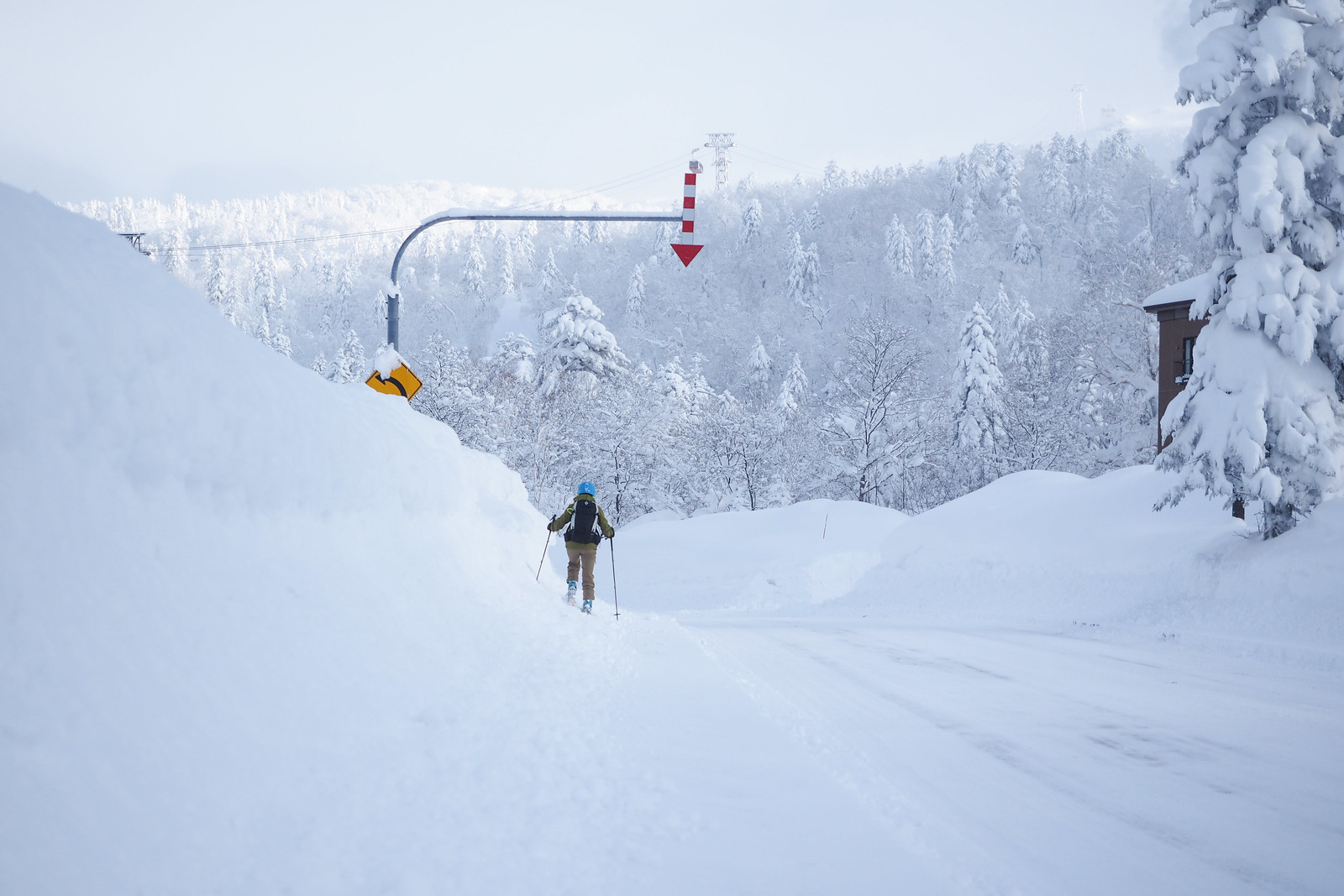
We decided to head up the ropeway anyway, if it was running; it closes if the wind is too strong. It was only a 10 minute walk from the hostel to the ropeway, so we skinned most of the way up the side of the road. We were taken aback at how much snow there was in comparison to on the other side of the ranges out further east.
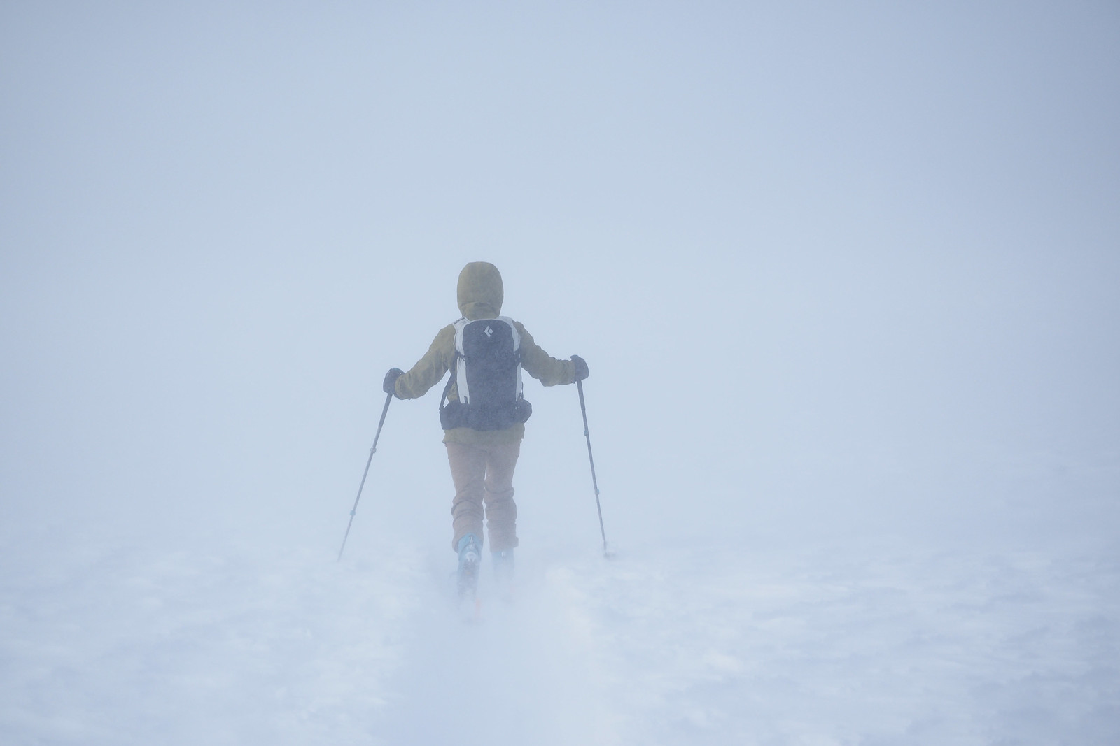
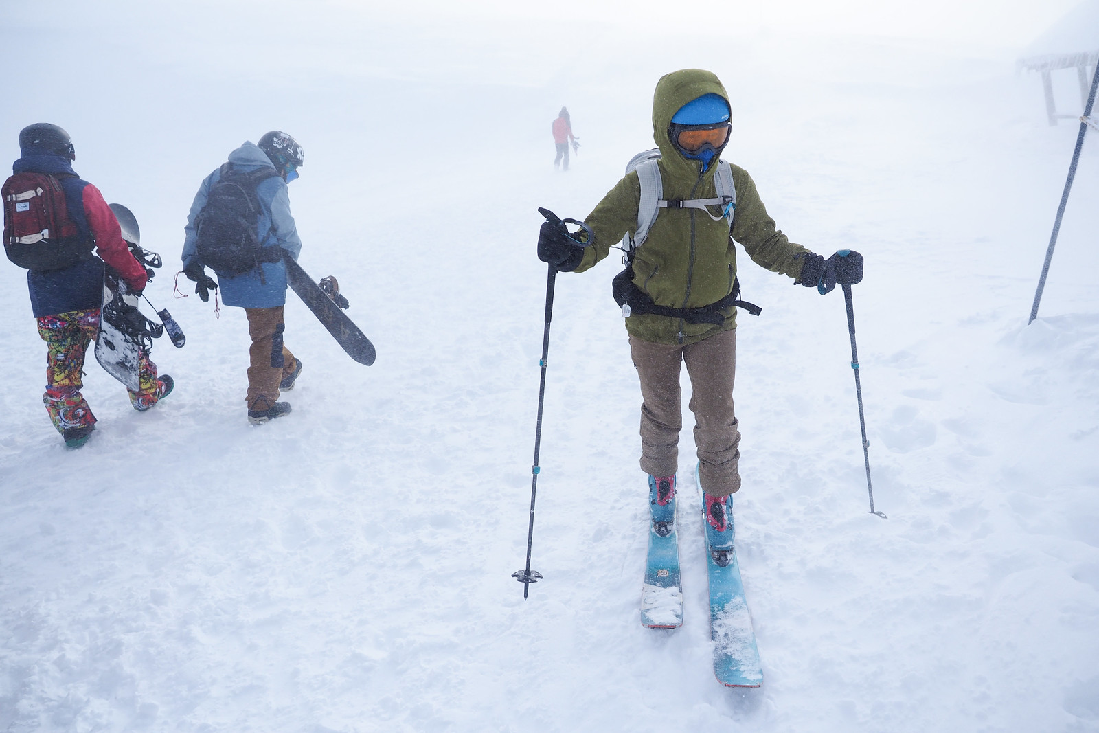
At the top of the ropeway, it was quite clear that it was not going to be a leisurely meander. It was a near-whiteout with scathingly cold and strong wind. We made it about a quarter of the way towards the stone hut with about 100m visibility, before turning back when this dropped to about 20m.
We were booked in for another night in Asahidake Onsen, so we returned down the ski slopes to the village, hoping for better weather the next day.
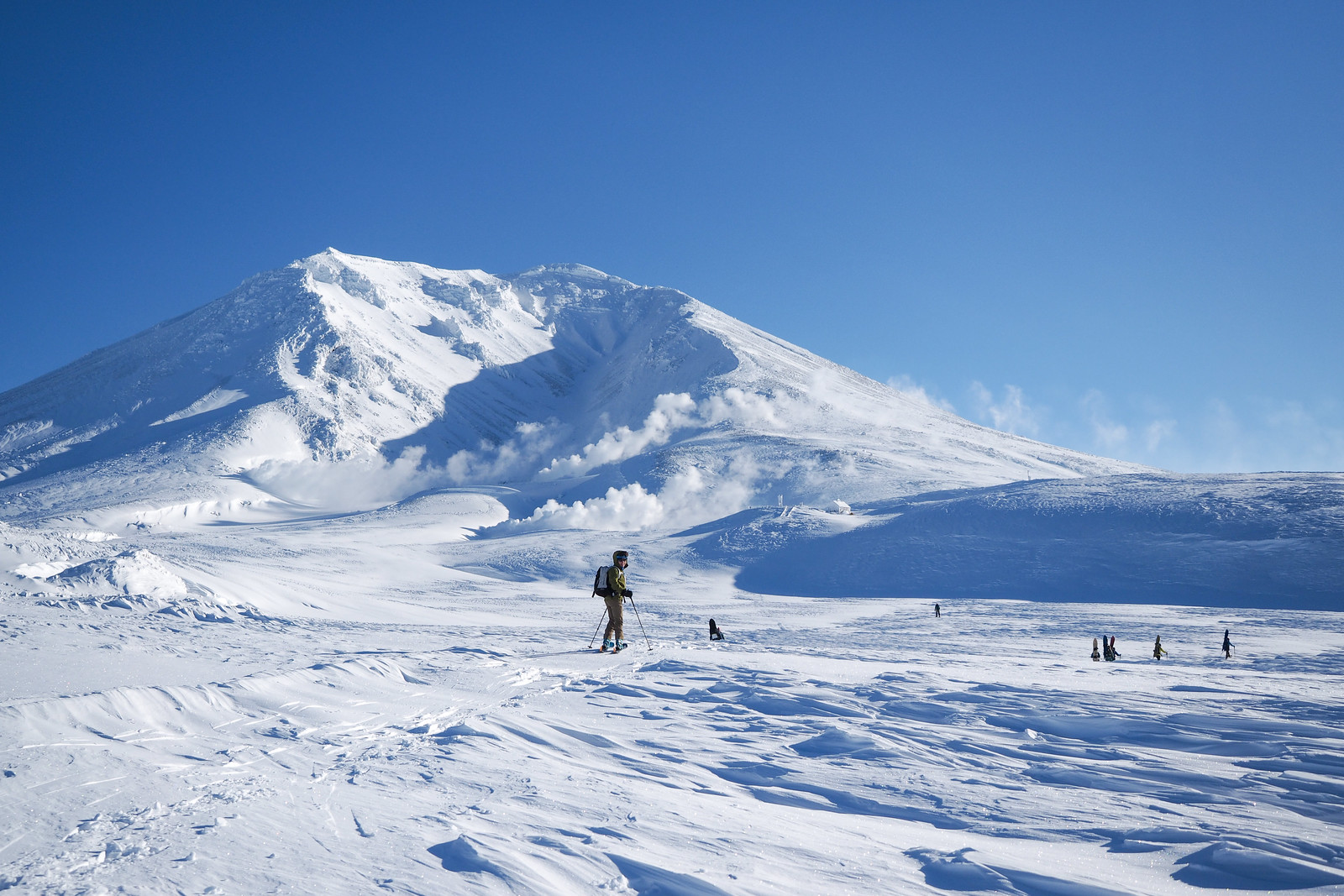
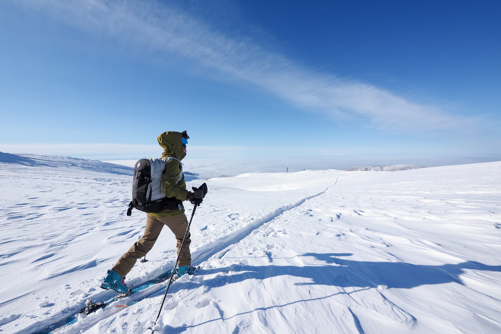
The next day broke to near-perfect conditions. We wasted no time getting going and were on the first gondola up the mountain.
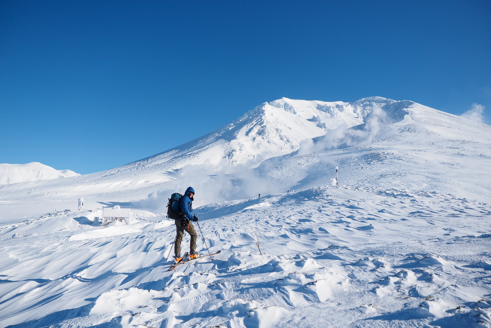
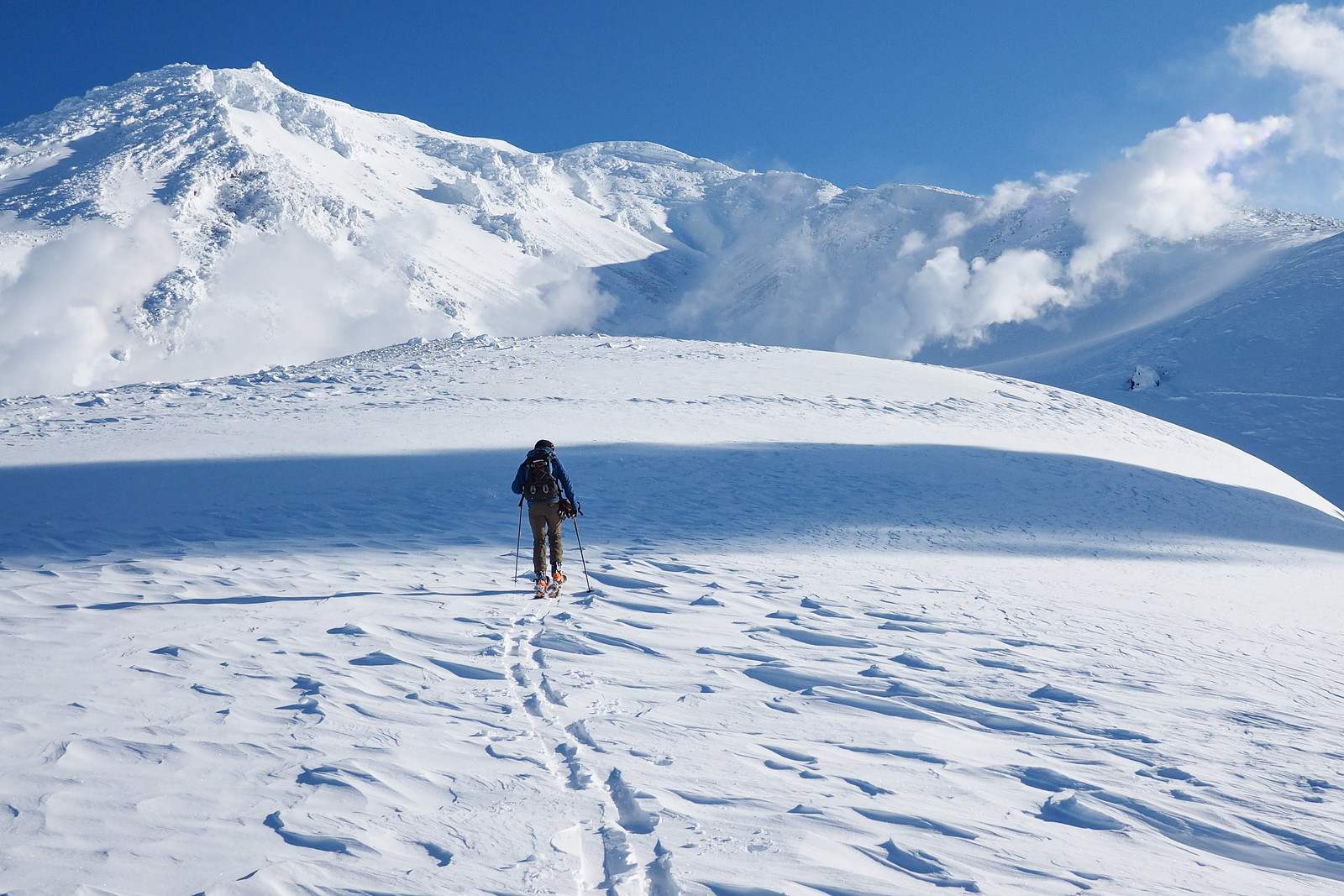
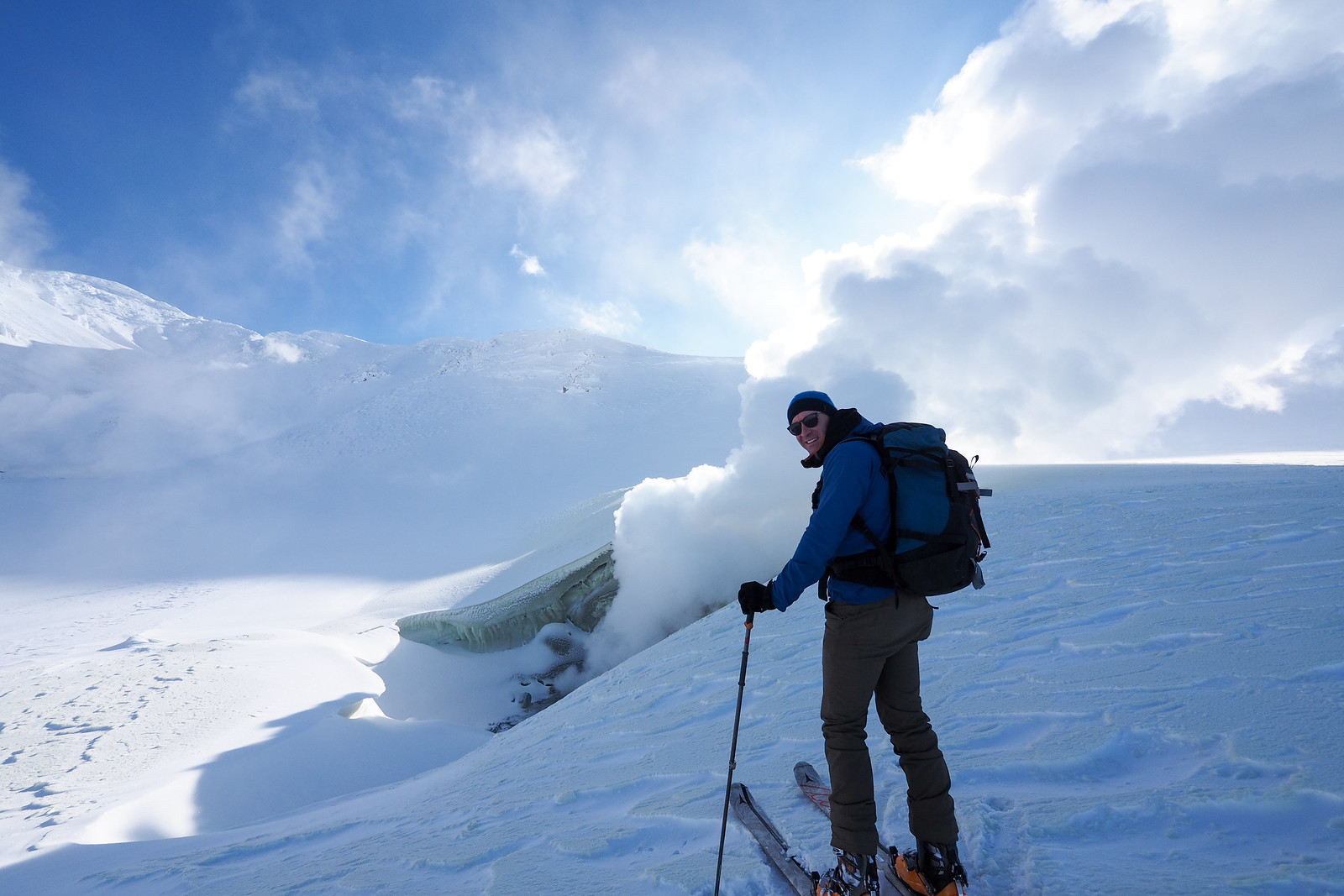
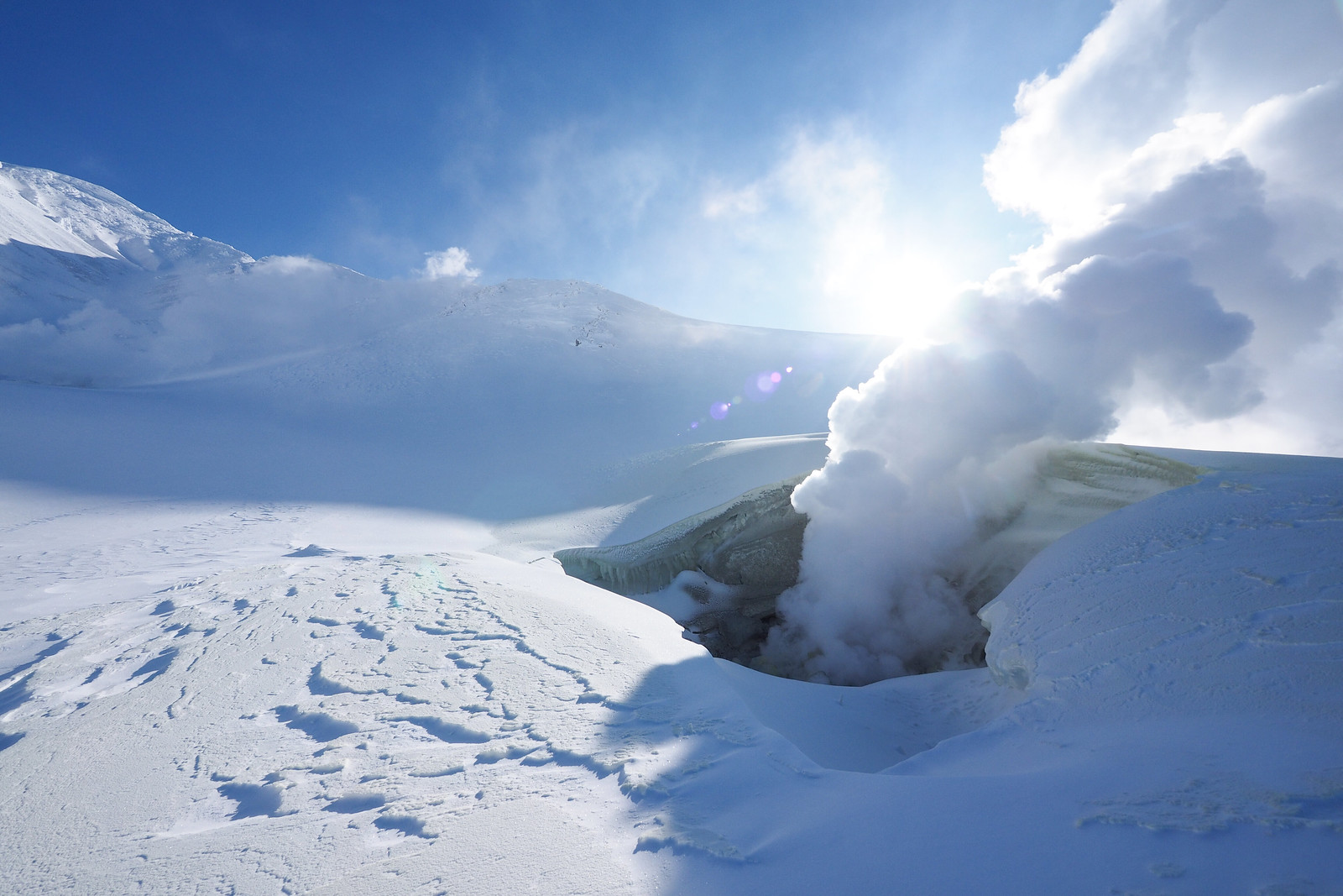
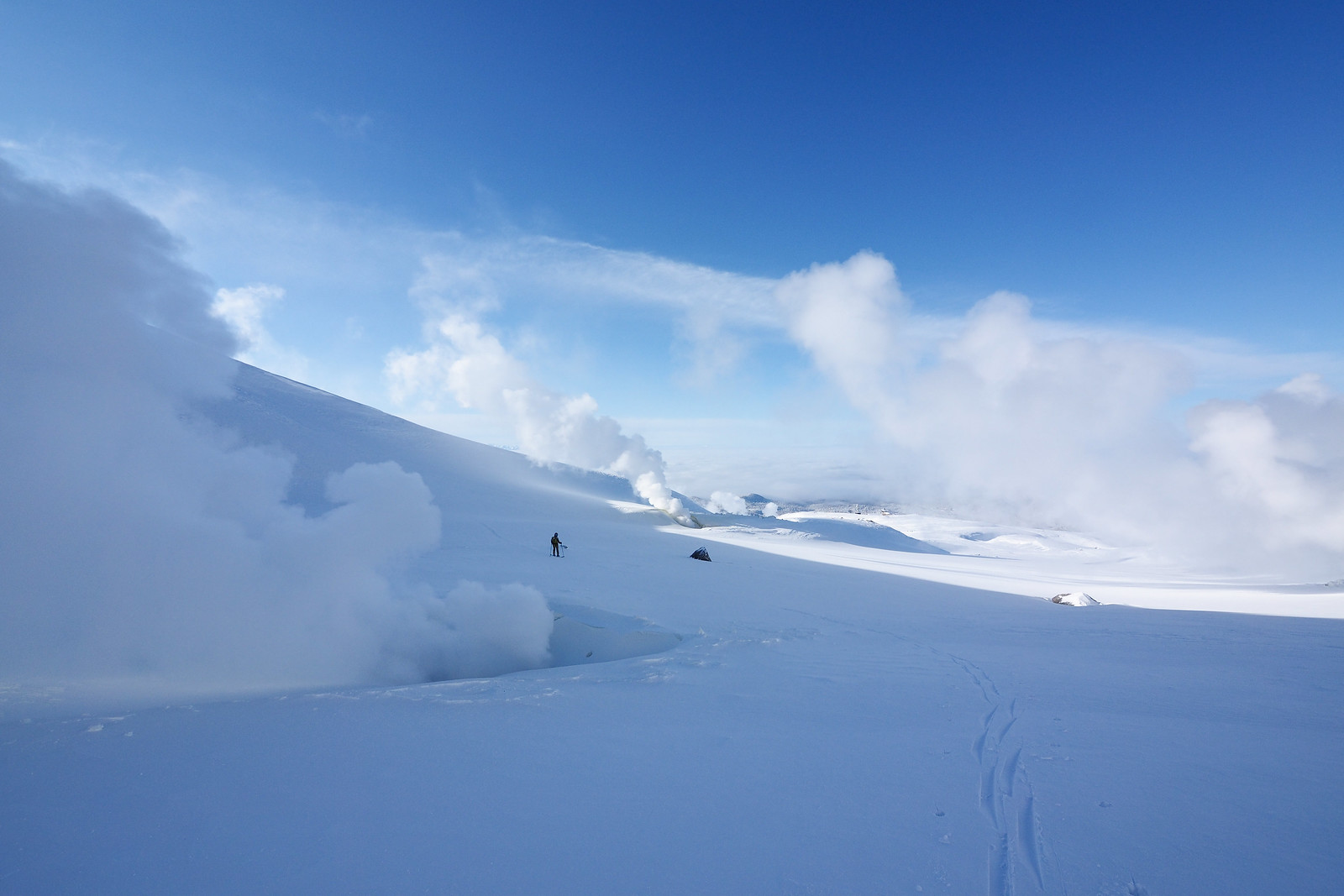
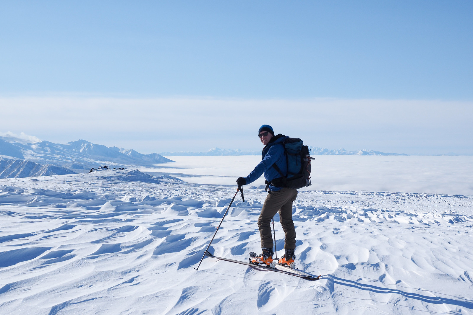
When you can stop, hold your breath, and hear nothing but loud silence, you know you’ve hit the weather jackpot. Other climbers with more time on their hands were marching up the southern ridge of Mt. Asahi, heading for the summit. We left this for another time, and concentrated on the much more leisurely circuit around some of the steam vents in the ‘Hell valley’.
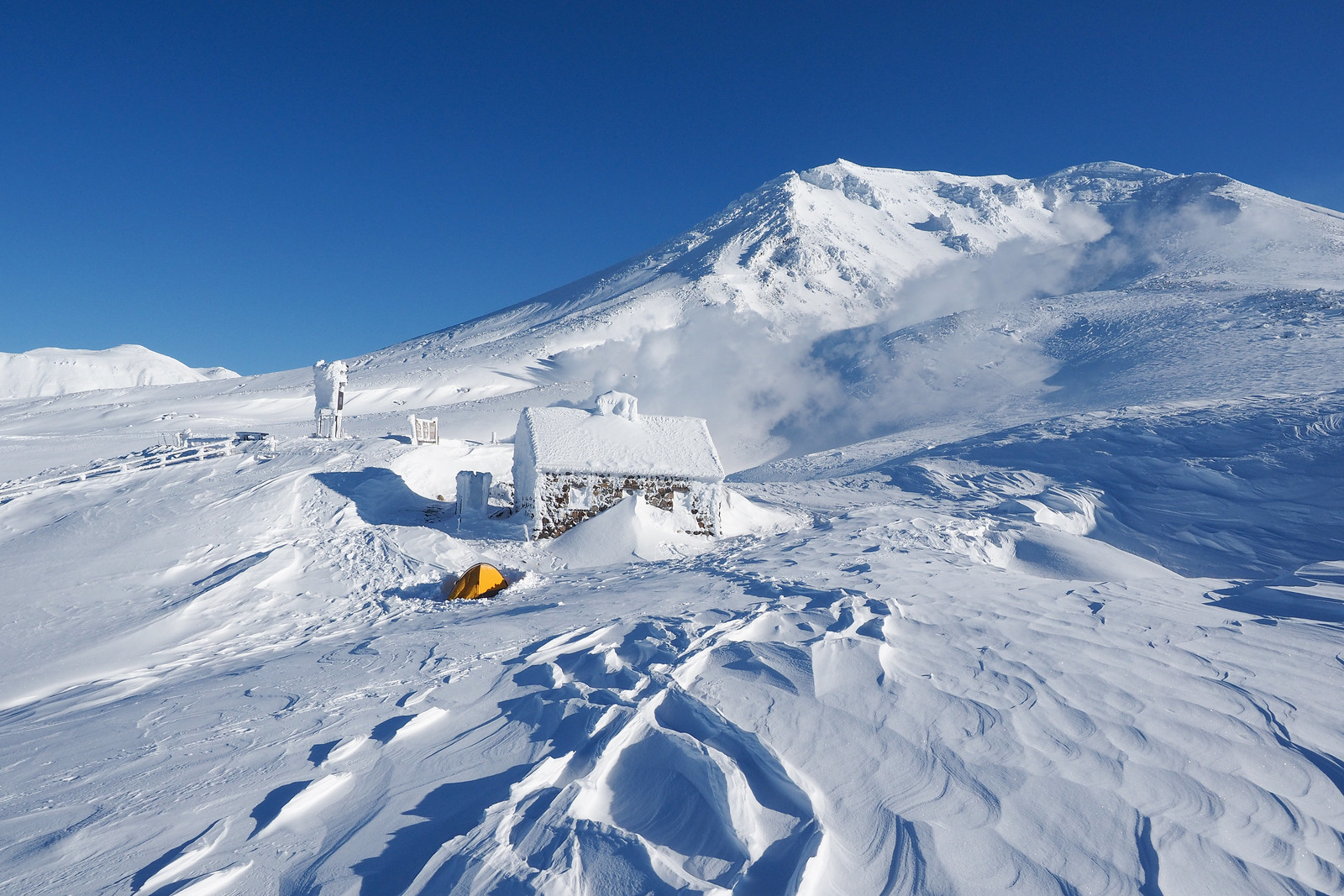
I was infinitely jealous of whoever had spent the night out in a tent near the stone emergency hut. It would have been a blustery start to the night, but I can imagine the morning calm would have been worth it.
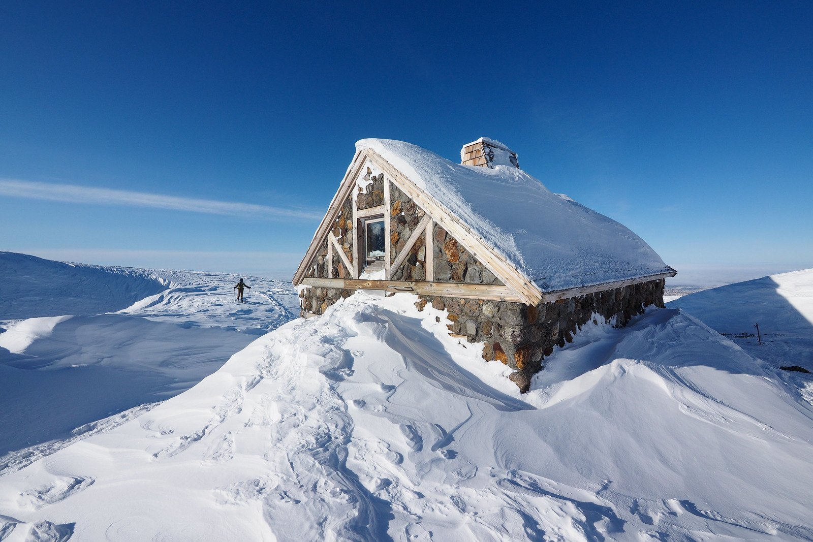
The stone hut (asahidake ishimuro) is well-and-truly an emergency hut, with no non-emergency overnight stays allowed. Even if you wanted to stay overnight in winter, it would be nearly breaking and entering, as the second-story window is well iced shut. A screw-driver on a multi-tool would probably shimmy it open, but not without damaging the wooden framing.
We carried on up the valley to a truly majestic landscape.
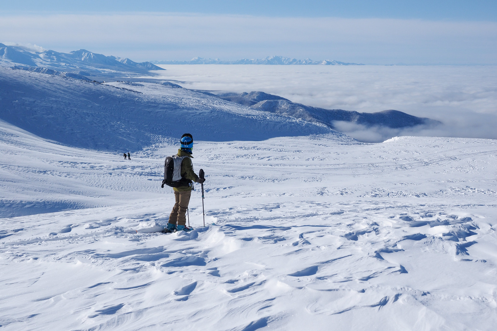
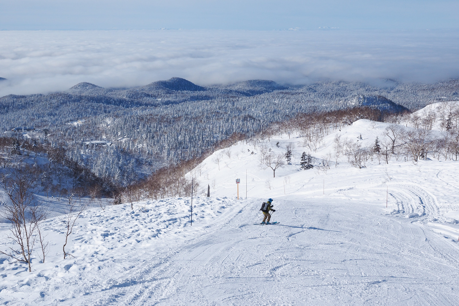
After pottering around at the upper-most fumaroles, we made our way back down to where the summer walking trail does a loop back to the ropeway station. Heading back down the valley gave us a great view of the sea of clouds further down the Asahikawa plains, and on to the Yubari mountain range in the far distance.
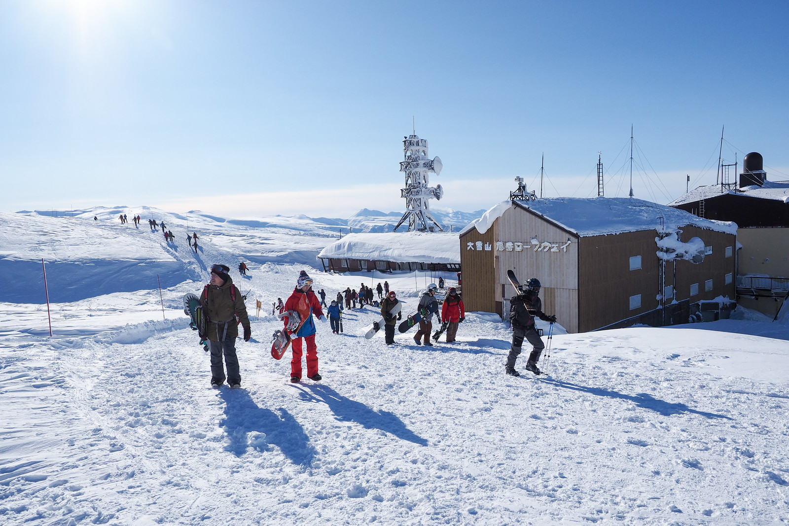
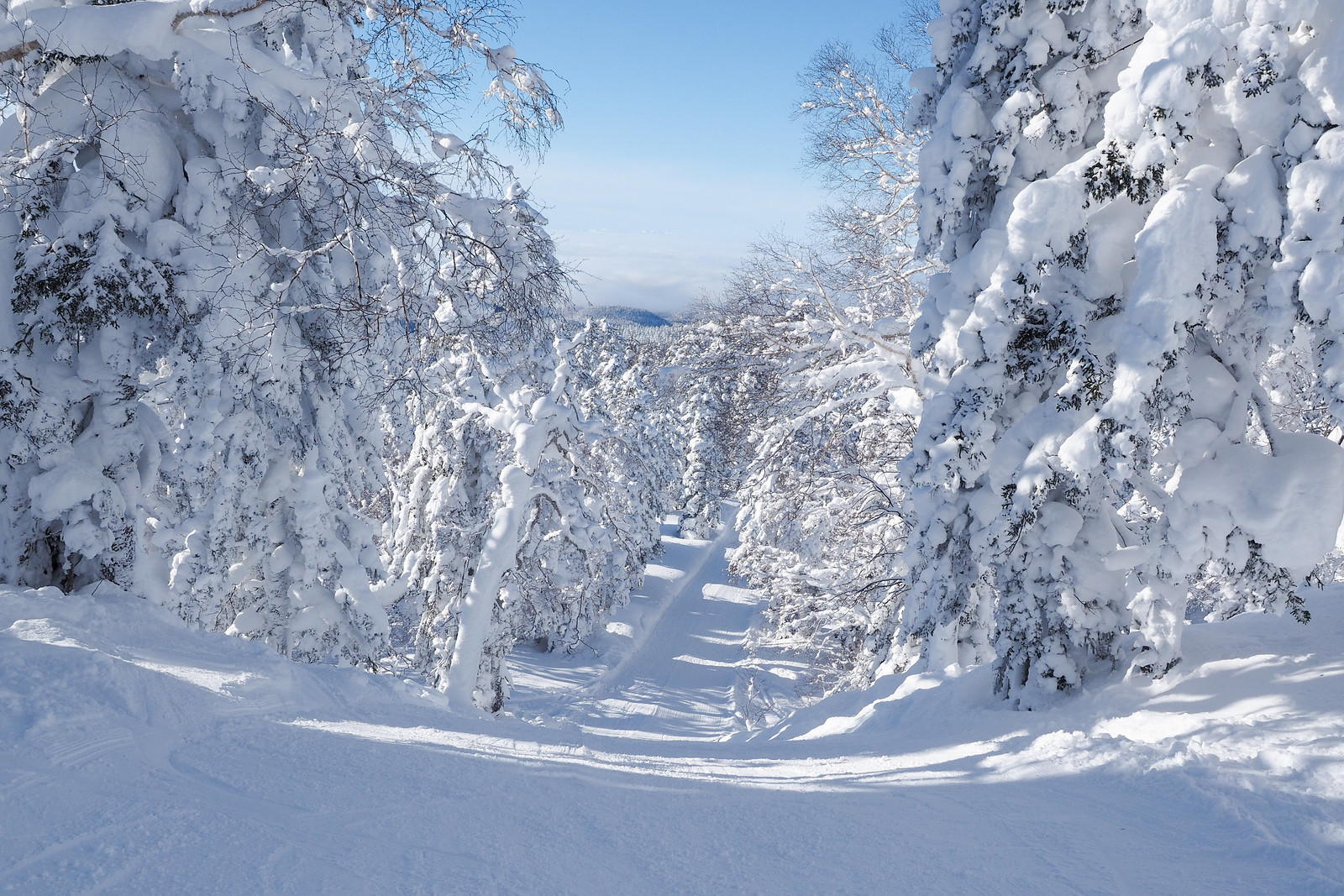
Once we were back at the ropeway top station, we joined the throngs of new arrivals for a fast blast down the unique groomed slopes of the Asahidake Ropeway ski area. This ski area is unique in that 1) the scenery is amazing (great massive pines covered in marshmallow snow) and 2) it is not really much of a ski area – the groomers are only just wide enough for some short turns and are more like access-road shortcuts down the mountain. An absolute blast!
All in all a great first-visit to the beautiful but cantankerous Mt. Asahi, Hokkaido’s highest.




4 thoughts on “Asahidake Volcanic Steam-vents Ski Touring”
Do you think this is possible and safe to do in October or November, hoping to catch some pre season lines
Hey Jake, apologies for the late reply! You’d be catching a lot of sharks in October and November! A decent base isn’t there until mid-December. If you’re up for an adventure though, it’s always worth a hike up to see how the season is progressing. Also note that the ropeway doesn’t allow carrying ski gear onto the gondola until December 30th, so you’d be hiking from the base before then.
Any chance there is a geo-referenced map for this area? I primarily use Avenza and the geo-referenced maps you have are super awesome. My wife and I skied in Hokkaido (mainly Niseko, Tokachidake, and Asahidake) a few years ago with a guiding company, but this year we’re heading to the same areas on our own. We lapped the area to skier’s right of the Asahidake tramway (kind of out toward that Mitanohara area on the map) after setting a skin track and it was epic. Fresh lines for days!
A geo-referenced map of the Asahidake area I think is the last one on our list! Thank you so much for providing these references!
Hi Dave, a larger georeferenced winter map for the Asahidake area is on the list of things to do 🙂 In the meantime, you could use one of our summer maps. The Daisetsuzan Grand Traverse map bundle on Avenza Maps has OK(ish) coverage of the Asahidake ropeway area: https://www.avenzamaps.com/maps/1186848/daisetsuzan-grand-traverse-map-bundle-hokkaido-japan. I hope this helps!